


Circular hike Surcuolm - Bündner Rigi - Piz Mundaun - Cuolm Sura - Surcuolm
Moeilijkheidsgraad: T2


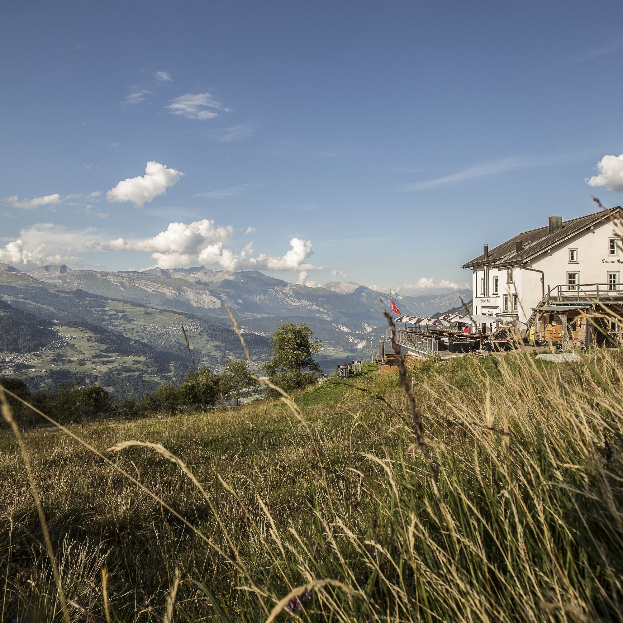
This circular hike to Piz Mundaun combines varied paths with impressive views. From Surcuolm, it goes up through forest and meadow trails to the Bündner Rigi inn, the ideal place for a first break. Then...
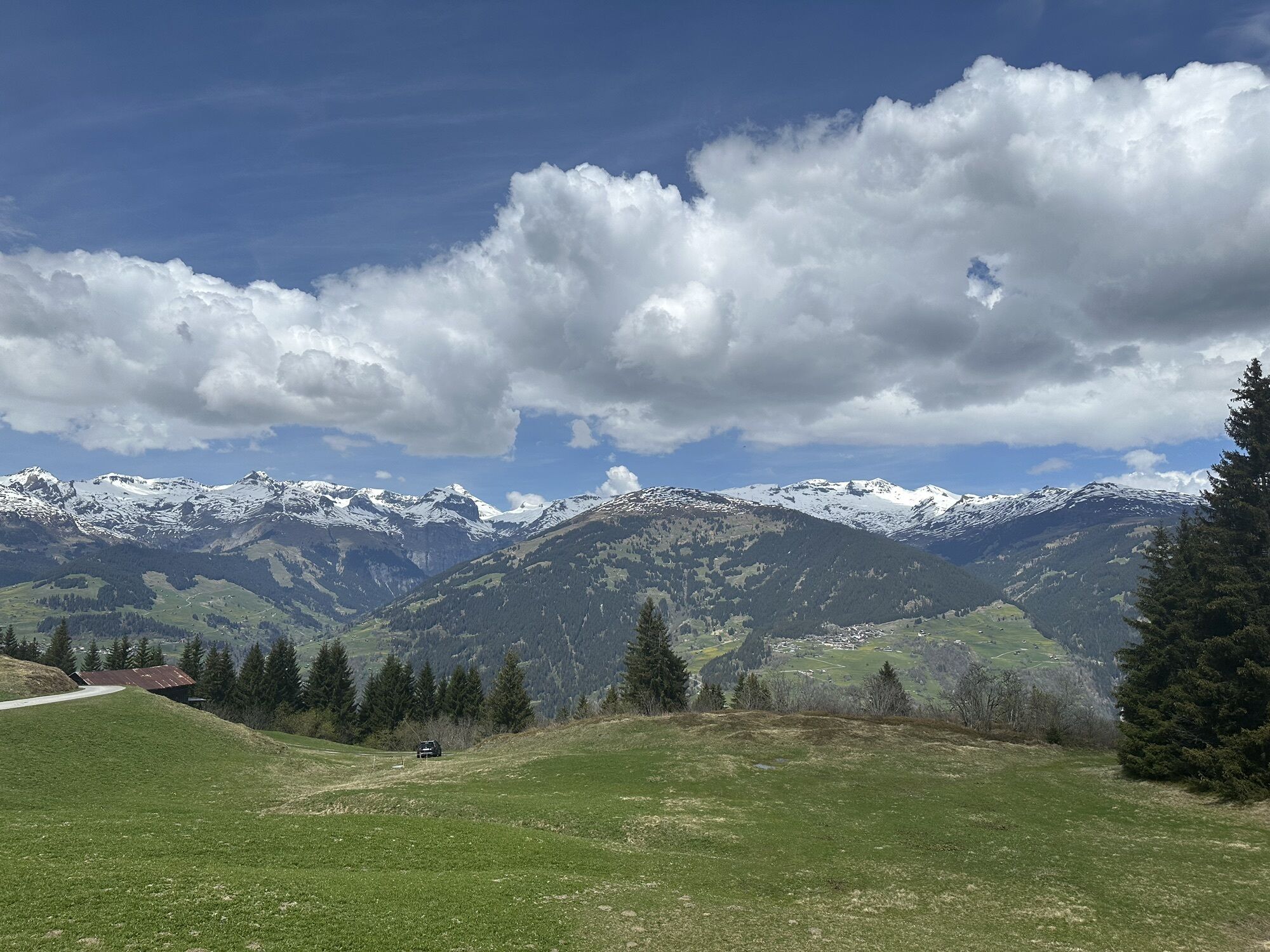
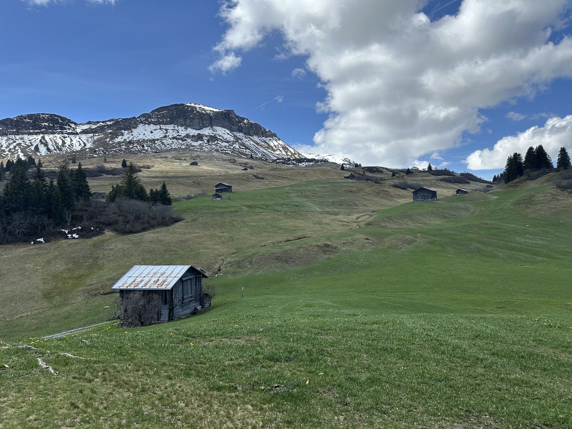
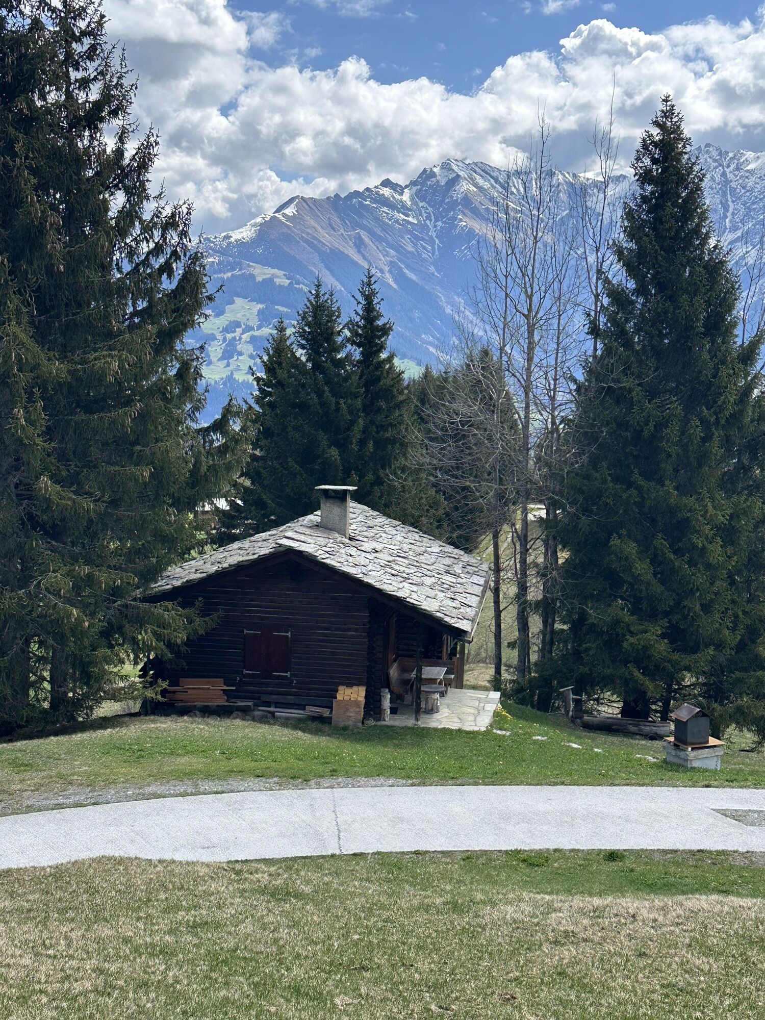
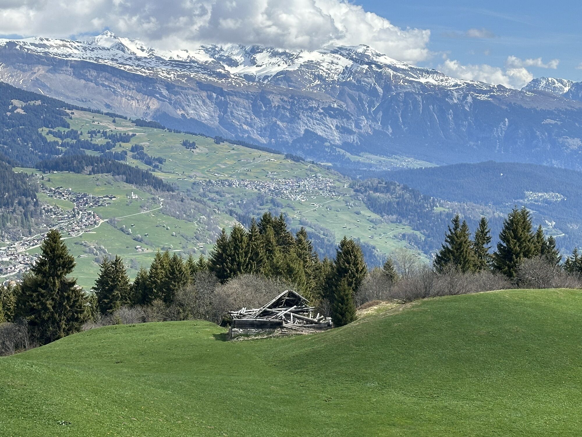
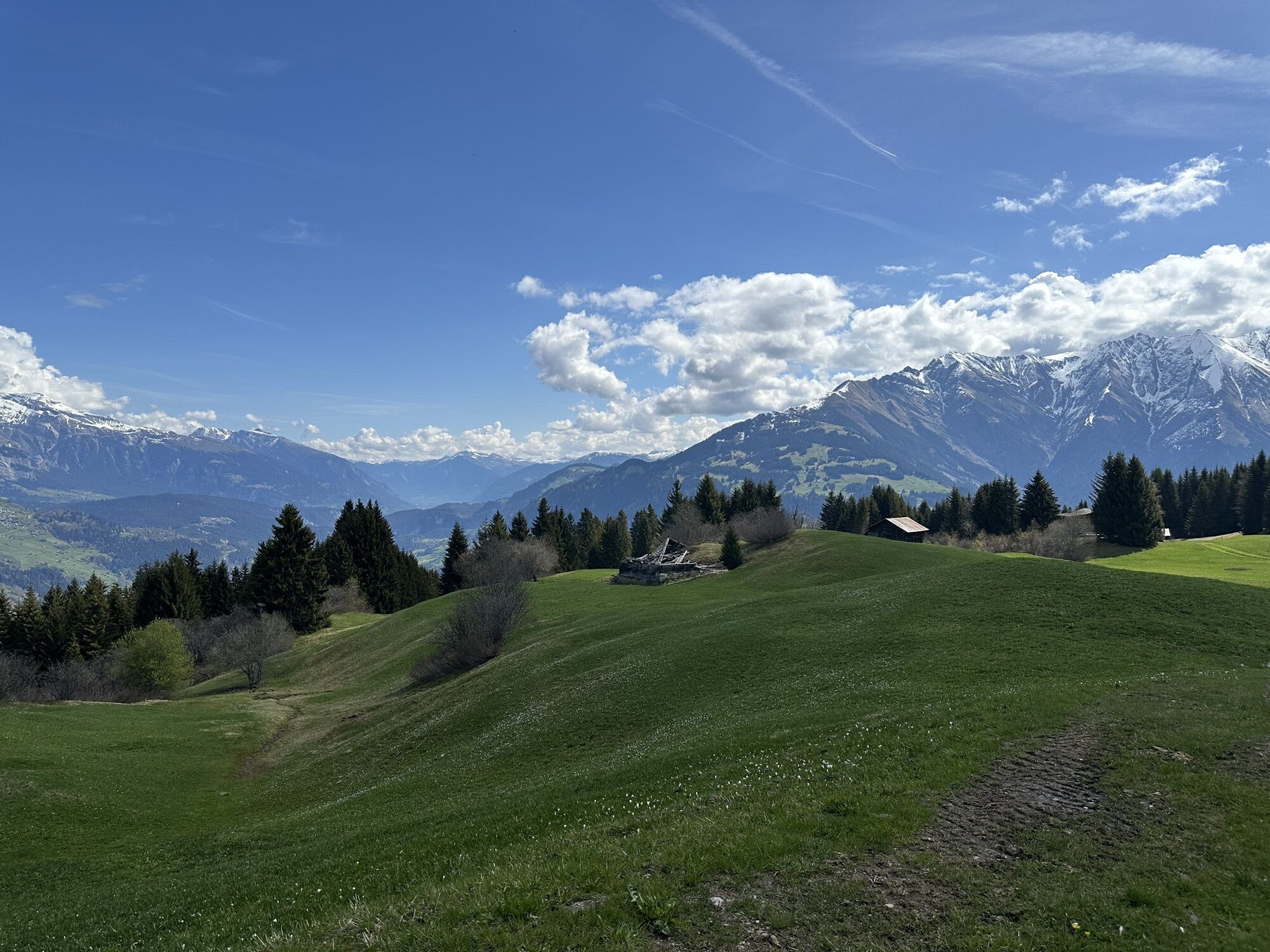
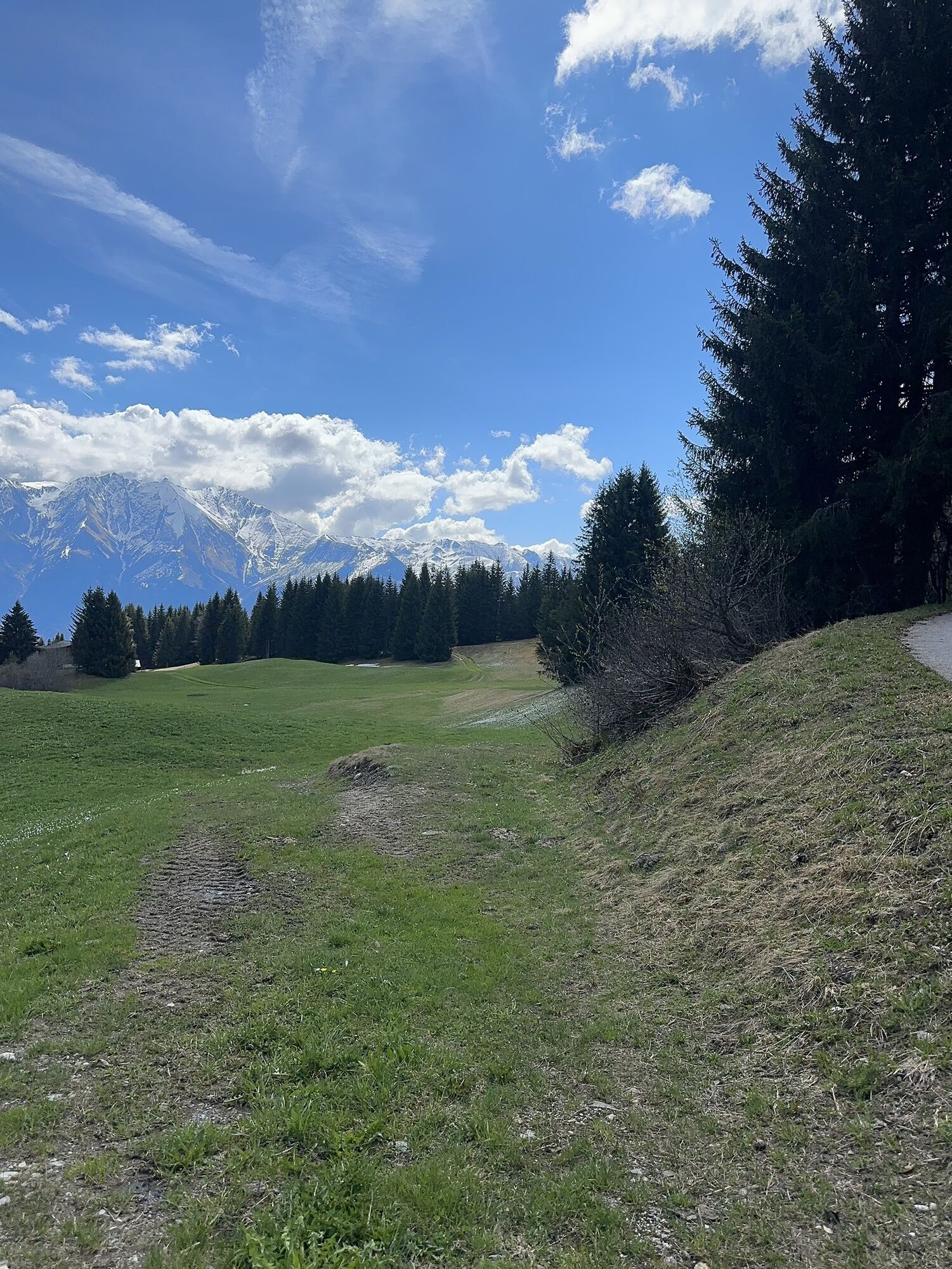
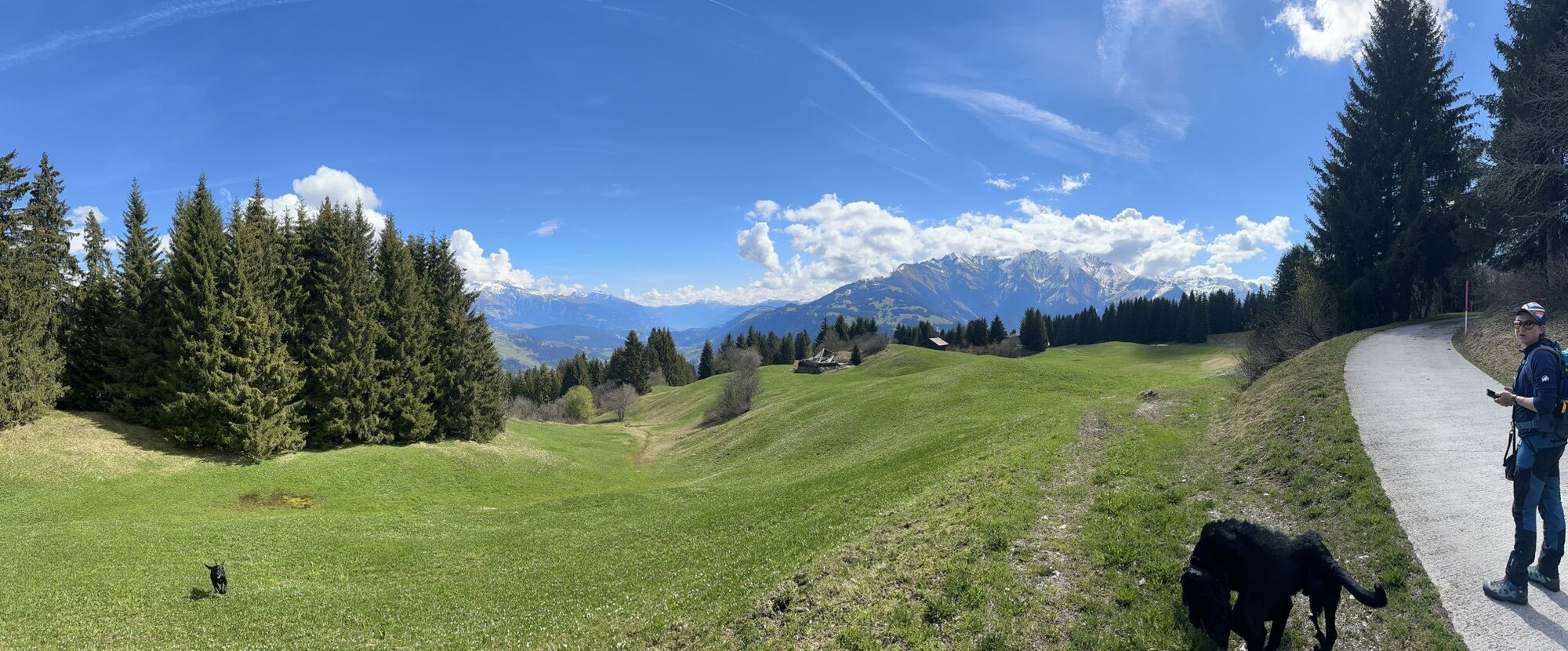
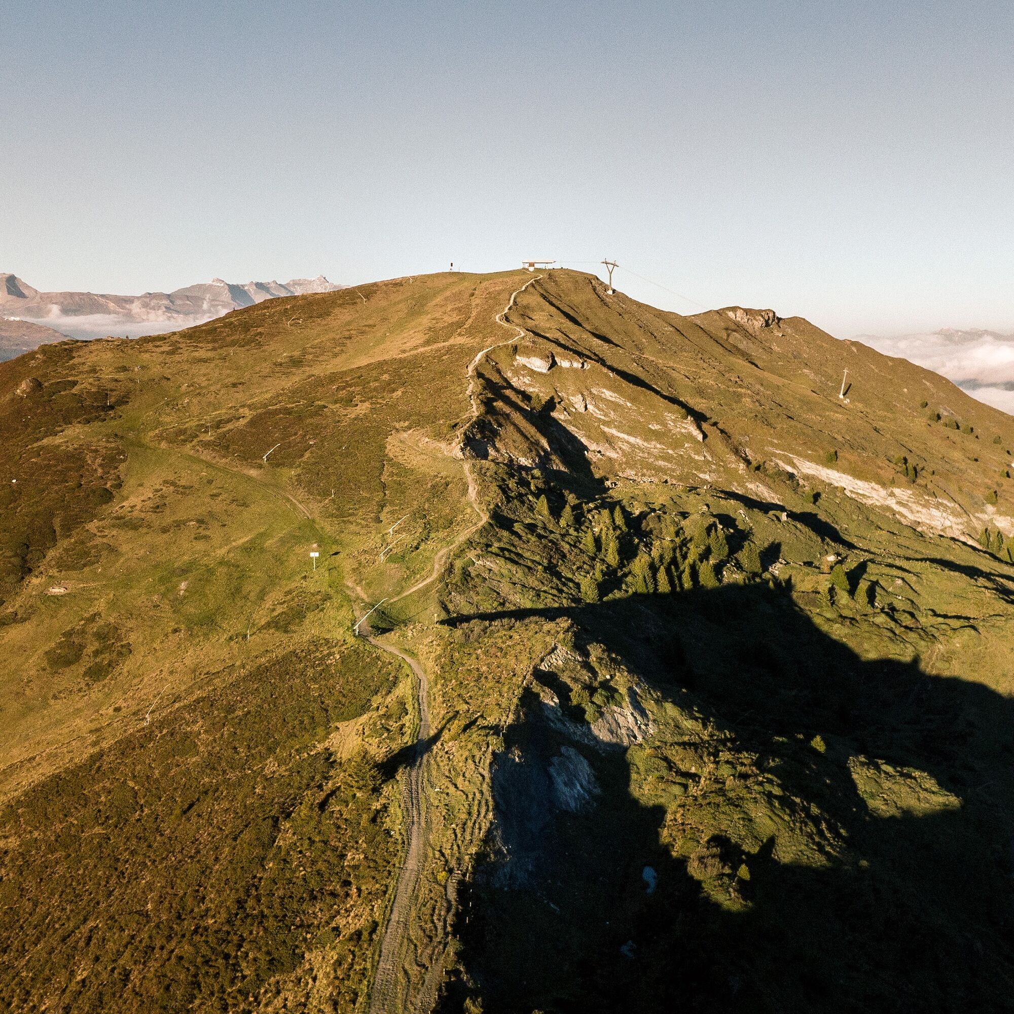
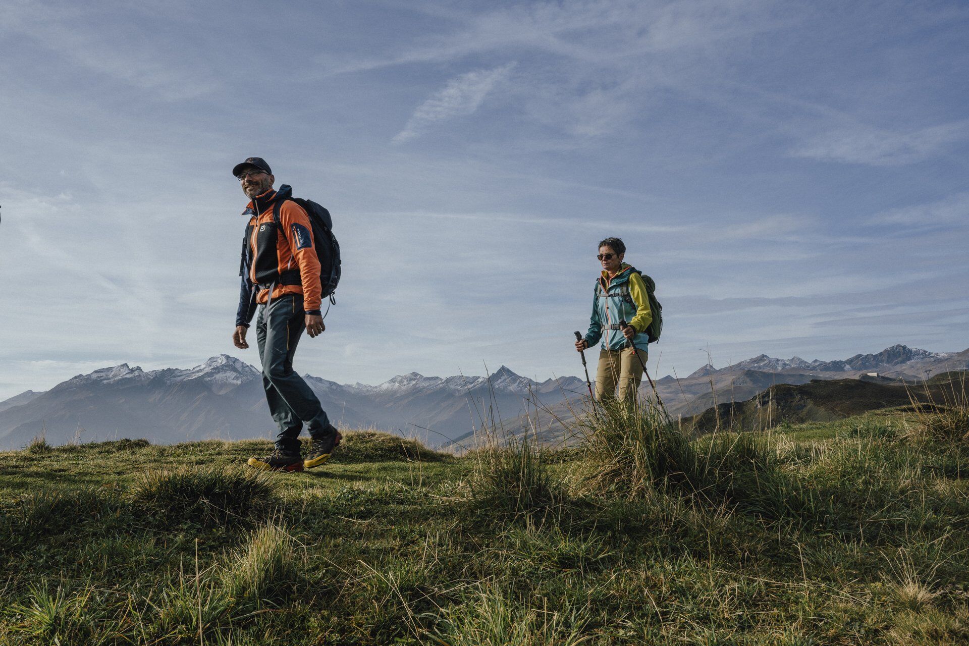
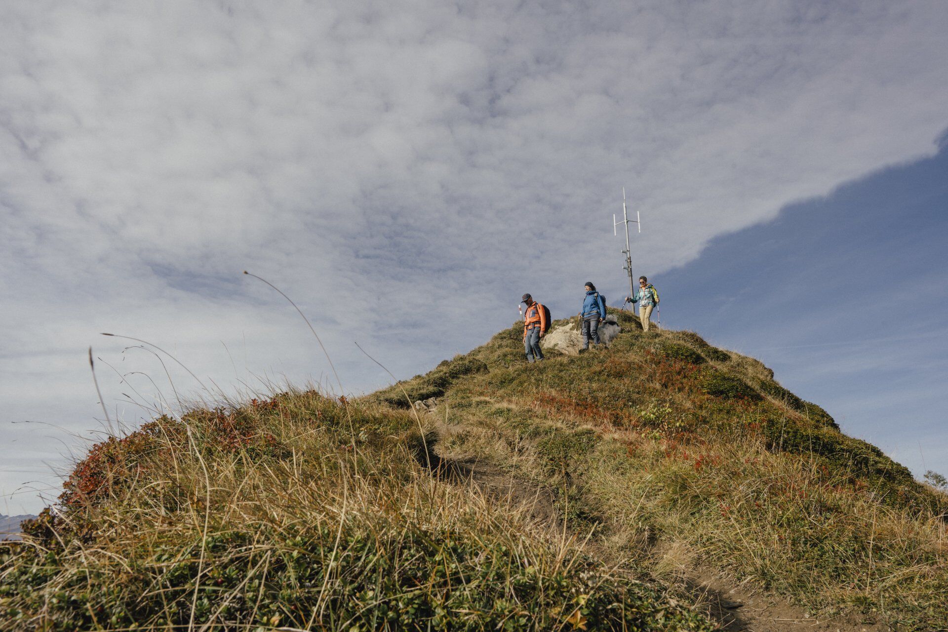
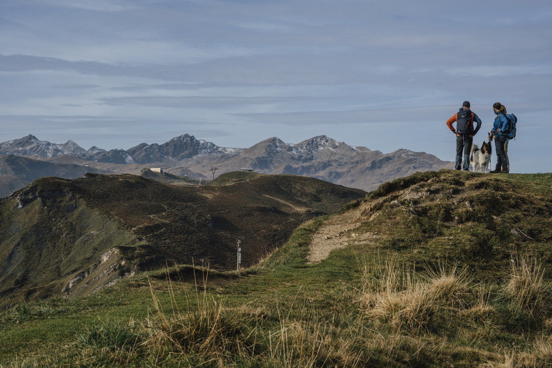
This circular hike to Piz Mundaun combines varied paths with impressive views. From Surcuolm, it goes up through forest and meadow trails to the Bündner Rigi inn, the ideal place for a first break. Then the route leads via S. Carli into Val Lumnezia, where the "Valley of Light" reveals itself in all its breadth. The ascent over the Fantanuglias brings you step by step closer to the summit. Once at the top, a visit to the viewing platform on Piz Mundaun is worthwhile: the 360° panoramic view over the Surselva is the highlight of the route. The return journey can be done either by chairlift or on foot to Cuolm Sura and from there back to the starting point.

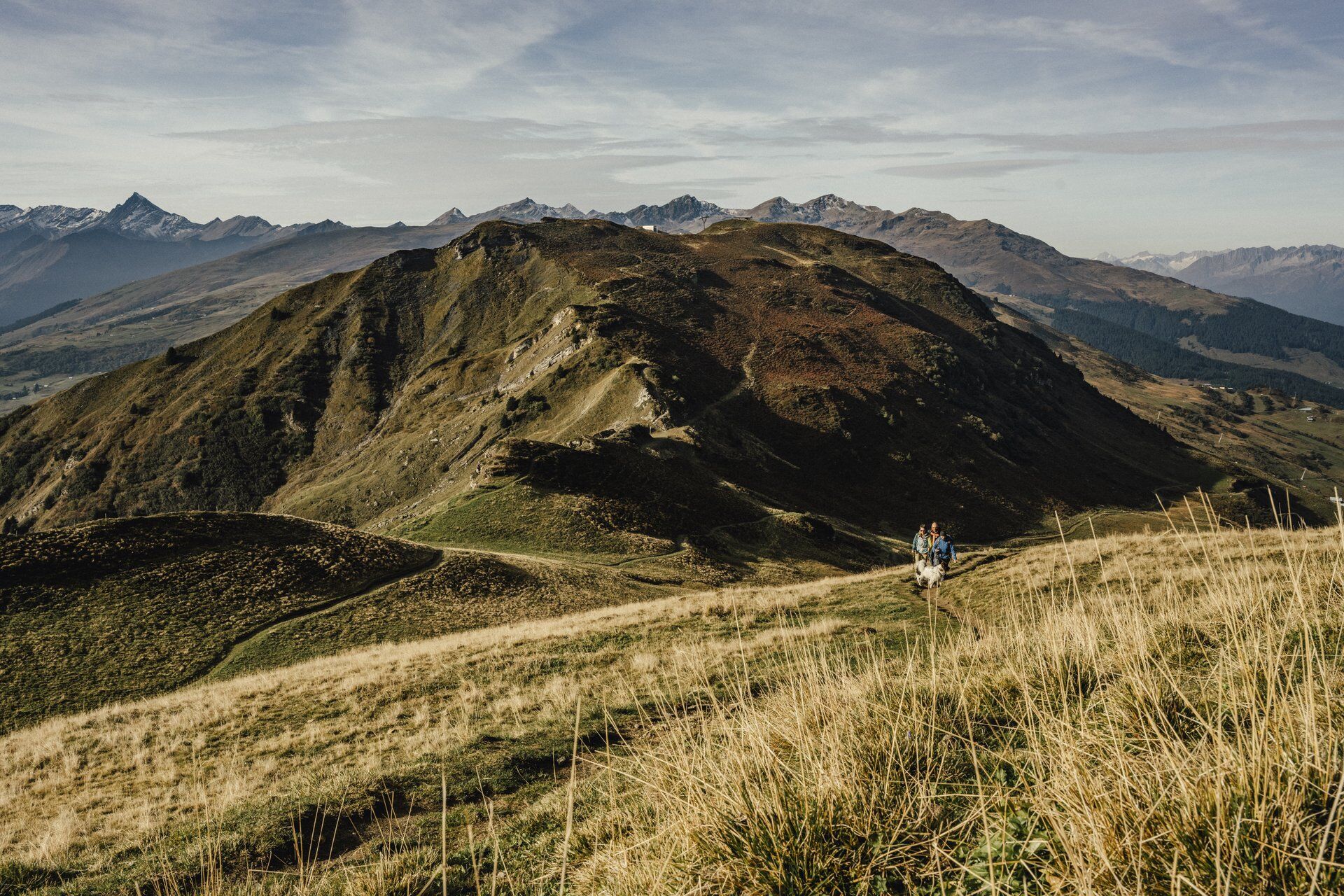
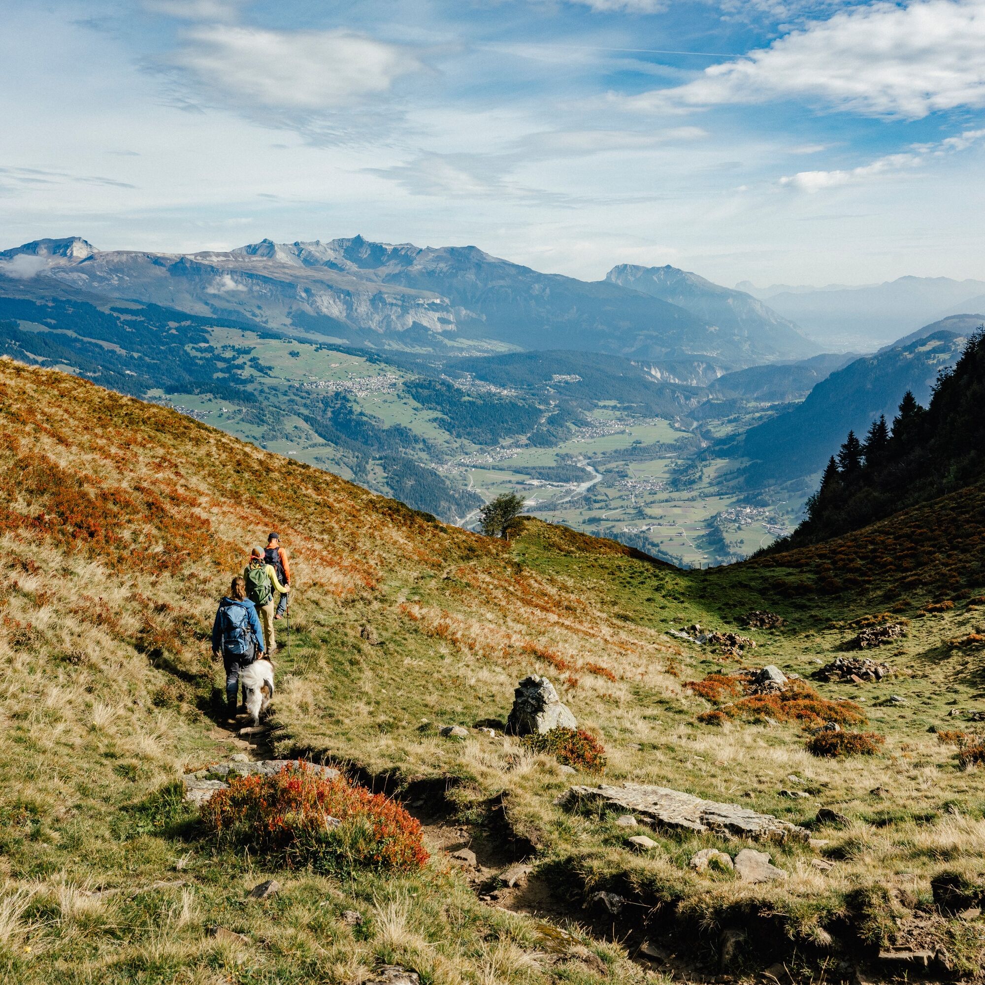
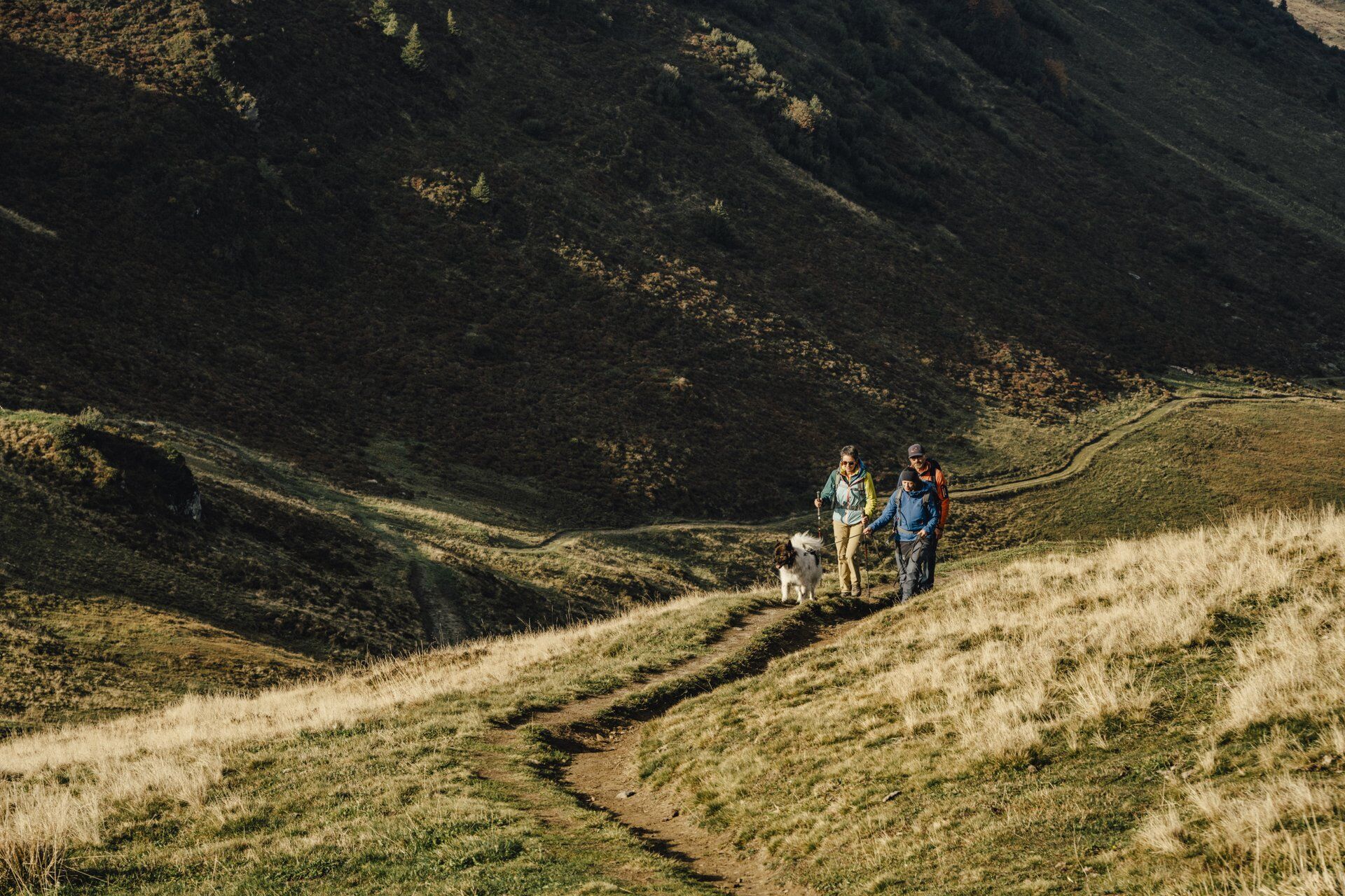
Surcuolm - Bündner Rigi - S. Carli - Fantanuglias - Piz Mundaun - Cuolm Sura - Surcuolm
Ja
Good hiking shoes with a solid tread, weather-appropriate clothing (rain jacket), possibly change of clothes, first-aid kit, drink, food, possibly hiking poles.
In uncertain weather conditions, the route should not be attempted. Weather changes in the mountains are frequent. If a rain front or similar appears during the hike, you should turn back in time.
To Surcuolm
By post bus to Surcuolm, vitg
Parking facilities in Surcuolm
T2
Thanks to the panorama boards at the summit, the mountain peaks in the Surselva and in the distance can be easily identified in good visibility. The Bündner Rigi, the Piz Mundaun summit hut, or the Cuolm Sura mountain restaurant invite you to a cozy stopover.
Populaire rondleidingen in de buurt
- 4,5
4-lake hike
mediumWandelen12,8 km - 4,7
The riverside trail: Trutg dil Flem
mediumThemapad13,5 km - 4,7
Rhine Gorge Hike: Senda Ruinaulta (659)
lichtWandelen9,39 km Piz Fess 2880m, der Stolze
zwaarWandelen12,8 km- 5,0
High valley Val Frisal
mediumWandelen11,3 km - 4,8
Rheinschlucht: From Ilanz to Versam into the heart of the Rheinschlucht
mediumWandelen11,4 km - 4,3
Round trip hike Falera - Curnius - Alp Dadens - Falera
mediumWandelen11,4 km - 5,0
Staderas - Conn - Rhein Gorge Ruinaulta-Staderas
mediumWandelen19,8 km - 5,0
Rhine Gorge Circular Hike
mediumWandelen11,4 km - 5,0
Hiking route Suspension Bridge Val da Tersnaus
mediumWandelen3,24 km

Wandelen en spoorzoeken


Mis geen aanbiedingen en inspiratie voor je volgende vakantie
Uw e-mailadres is toegevoegd aan de mailinglijst.