


Chamonna dal Linard – Fuorcla da Glims – Val Sagliains (circular route)


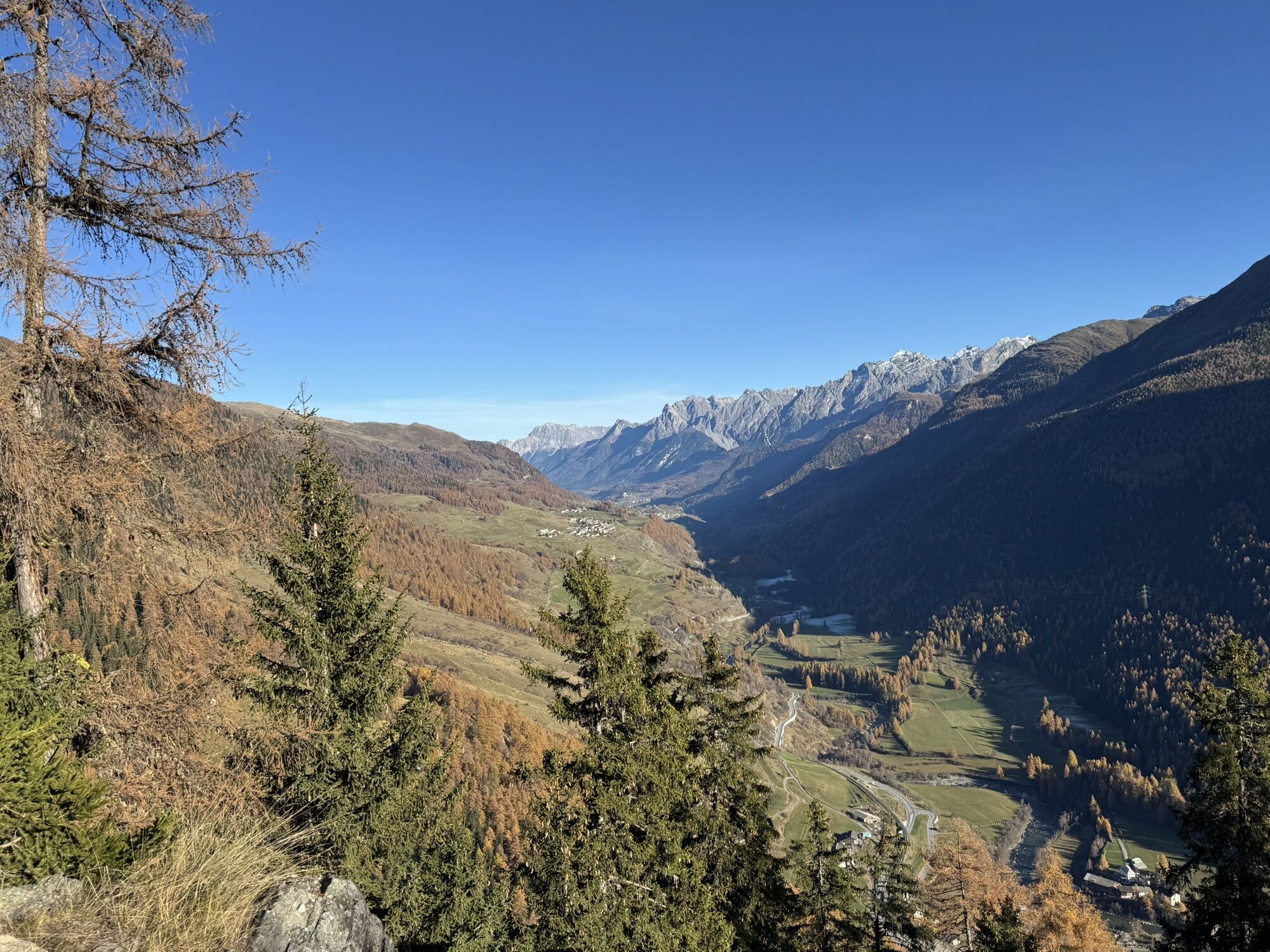
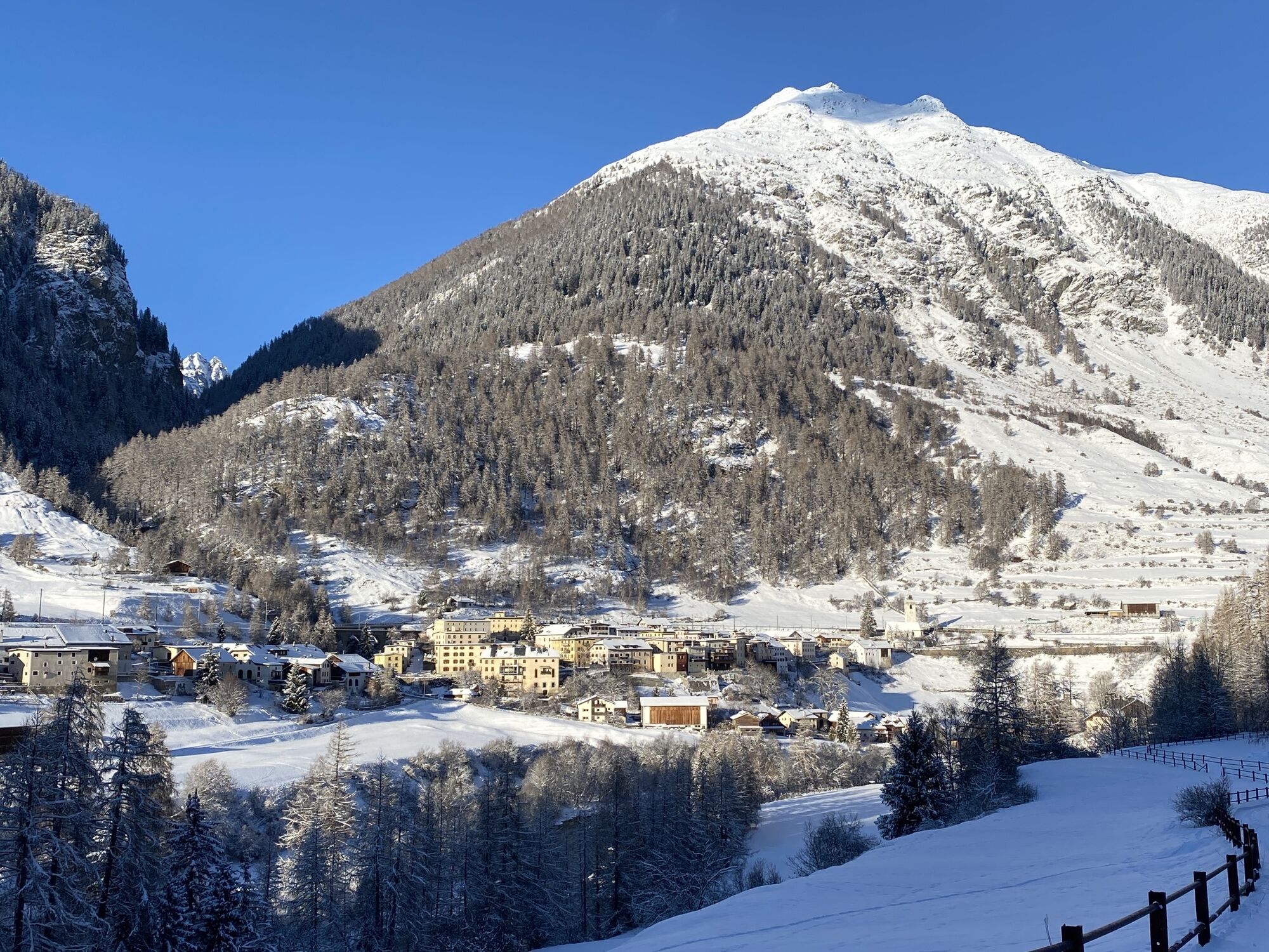
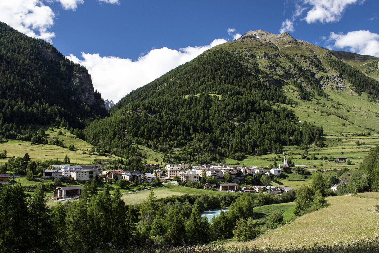
From Lavin follow the signposts towards Chamonna dal Linard. Shortly after leaving the village, a sparse forest begins. The footpath crosses the forest road several times before reaching the viewpoint...
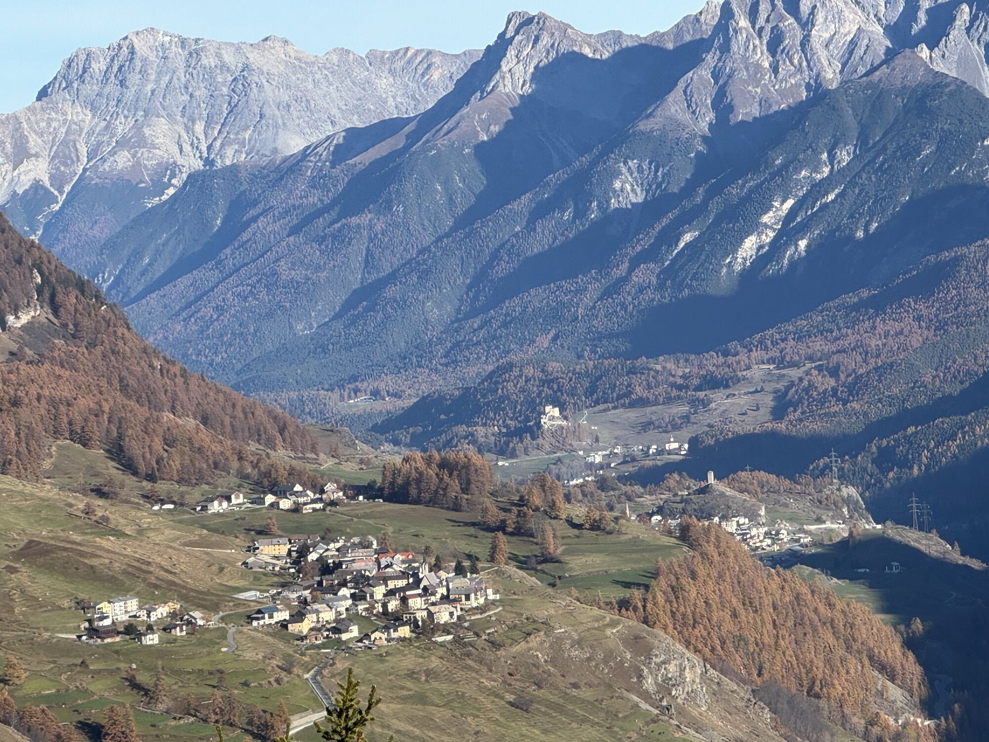
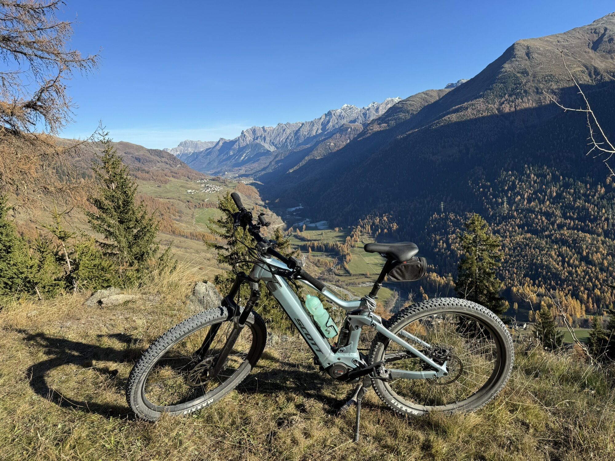
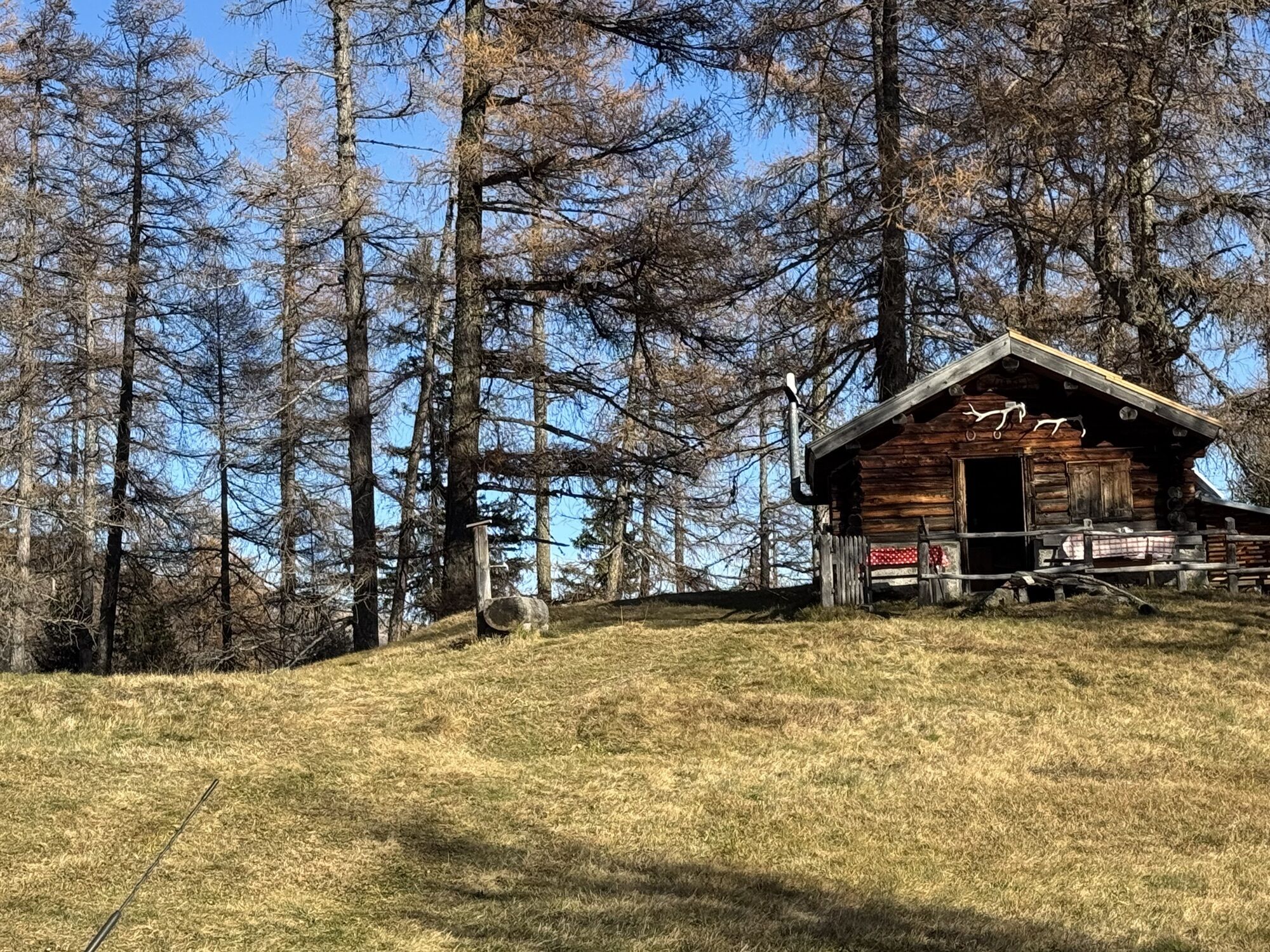
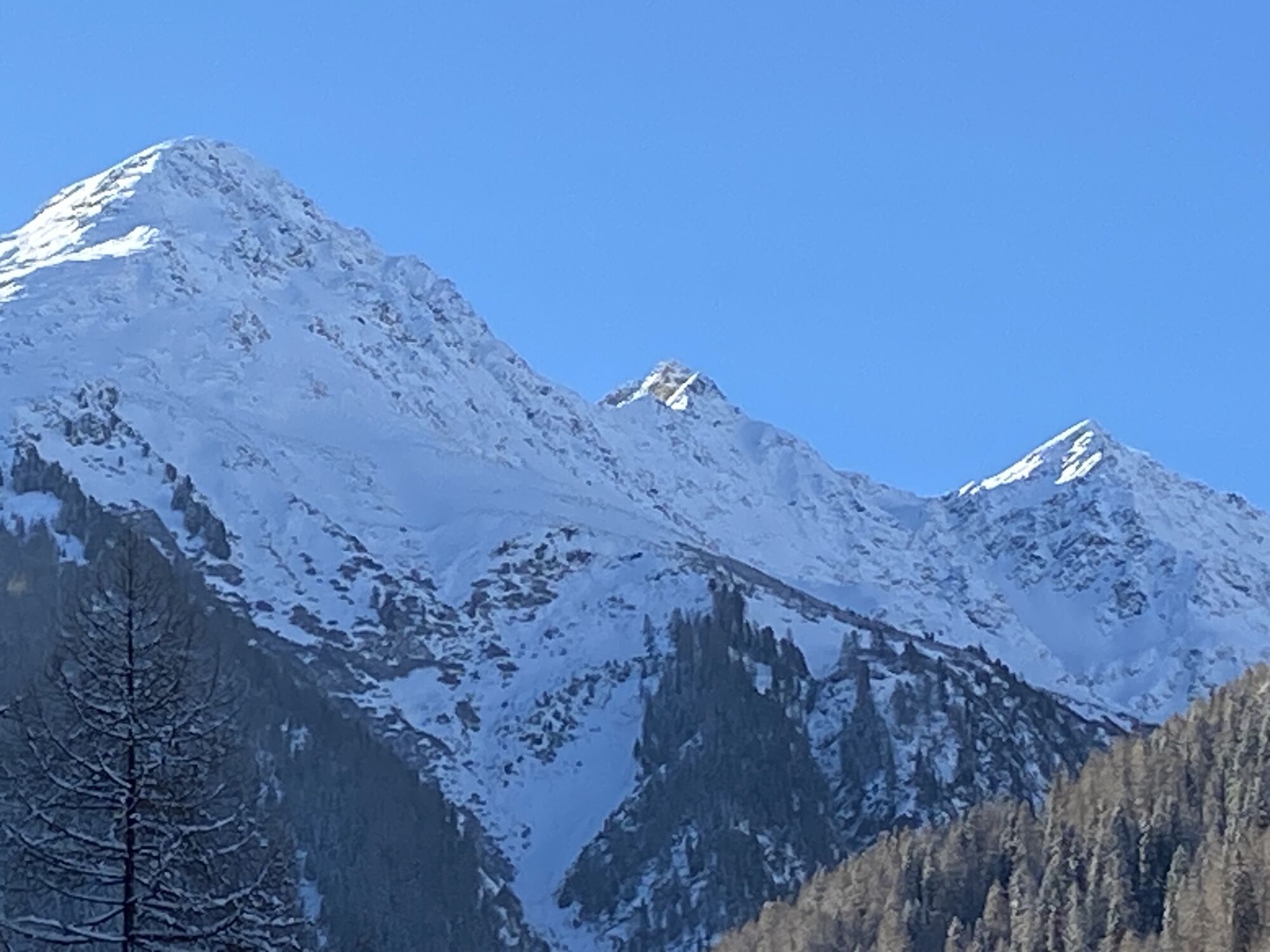
From Lavin follow the signposts towards Chamonna dal Linard. Shortly after leaving the village, a sparse forest begins. The footpath crosses the forest road several times before reaching the viewpoint Plan dal Bügl. With the mighty Piz Linard, the highest peak of the Silvretta in view, the path ascends pleasantly to the Chamonna dal Linard. The hut is serviced in the summer months. The hiking trail continues, partially following the outflow stream of the lakes, up to the Glims lakes. The lakes lie in the middle of an alpine landscape and are ideal for a lunch break. Directly after the uppermost lakes, the summit formation of Piz Linard begins. Between this and the Piz Glims further left, the Fuorcla da Glims pass, the highest point of the hike, can already be spotted. On the other side of the Fuorcla follows a short descent into Val Sagliains. Over a small bridge, you reach the other side of the Aua da Sagliains. Following this wild mountain stream, you walk through the whole Val Sagliains until above the Vereina car shuttle station you meet the forest road again, which leads you back to Lavin over the Aua da Sagliains.

From Lavin train station towards Plan dal Bügl and Chamonna dal Linard
Continue following the path towards Chamonna dal Linard
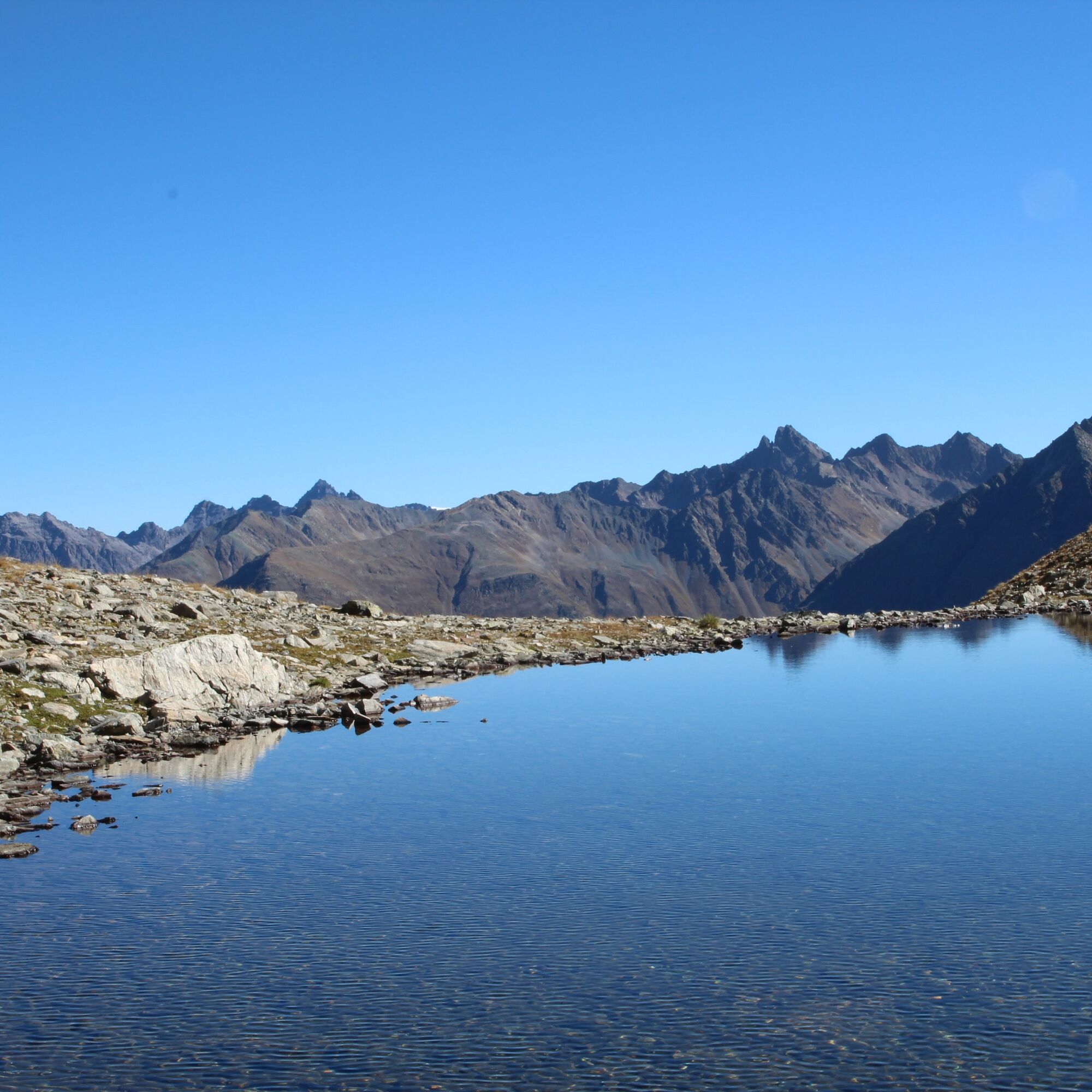
Along the stream to the Glims lakes
After the last lakes, ascent to the Fuorcla da Glims
Descent into Val Sagliains
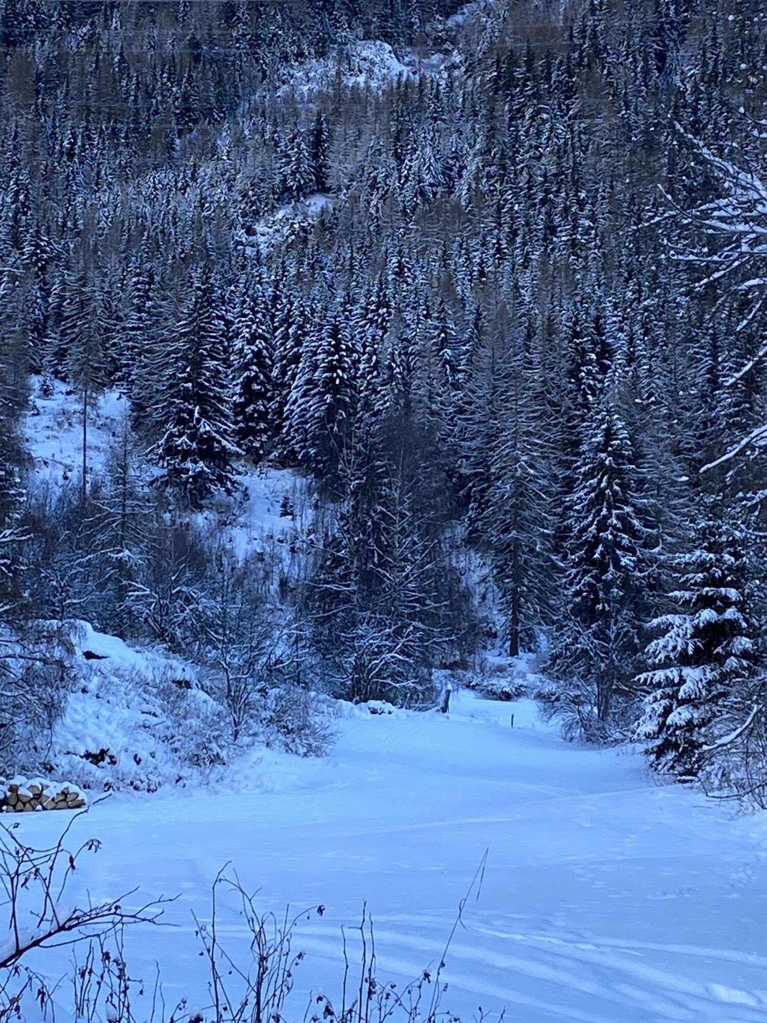
Along the stream through the valley to the forest road
Return to Lavin via the forest road
Good footwear, rain and sun protection, water bottle, first aid kit.
The route was rated under favorable weather conditions; current weather conditions and forecasts must be strictly observed before starting the hike. This hike requires basic alpine experience, orientation skills; hiking boots are recommended.
Emergency numbers:
144 Emergency call, first aid
1414 Mountain rescue REGA
112 International emergency call
From the north: via Landquart – Klosters by car shuttle through the Vereina tunnel (Selfranga - Sagliains) or via the Flüela Pass into the Lower Engadin on H27 From the east: via Landeck / Austria towards St. Moritz on H27From the south: via Reschen Pass (Nauders-Martina) or Ofen Pass (Val Müstair-Zernez) on H27
Lavin is located directly on the Engadin road H27 (2 minutes’ drive from Vereina south portal)
By the Rhaetian Railway (from Chur, Landquart/Prättigau, from Upper Engadin or Scuol) hourly to Lavin
Paid parking at the Lavin train station.
Populaire rondleidingen in de buurt
- 5,0
Großer Piz Buin (3.312m), Normalweg 2019 über Ochsentaler Gletscher
zwaarHigh rope24,1 km - 4,9
Jöriseen
mediumWandelen11,3 km - 4,5
Jöriseen Rundwanderung
mediumWandelen11,6 km Rund ums Hohe Rad
zwaarThemapad15,4 km- 1,0
High mountain route to the highest summit of Vorarlberg, the Piz Buin (3,312 m)
zwaarHigh rope22,4 km Bieler Höhe - Wiesbadener Hütte - Runde ums Hohes Rad
mediumWandelen15,6 km- 5,0
Jörisee hike
mediumWandelen10,3 km Bielerhöhe > Radsattel > Wiesbadener Hütte > Bielerhöhe - Angelos Touren
zwaarWandelen15,1 km- 5,0
Fluela Schwarzhorn 3147 m
lichtHigh rope7,34 km Silvretta Stausee
lichtWandelen6,22 km
Wandelen en spoorzoeken


Mis geen aanbiedingen en inspiratie voor je volgende vakantie
Uw e-mailadres is toegevoegd aan de mailinglijst.