


87 Via Engiadina: Stage 12, Tschlin - Vinadi


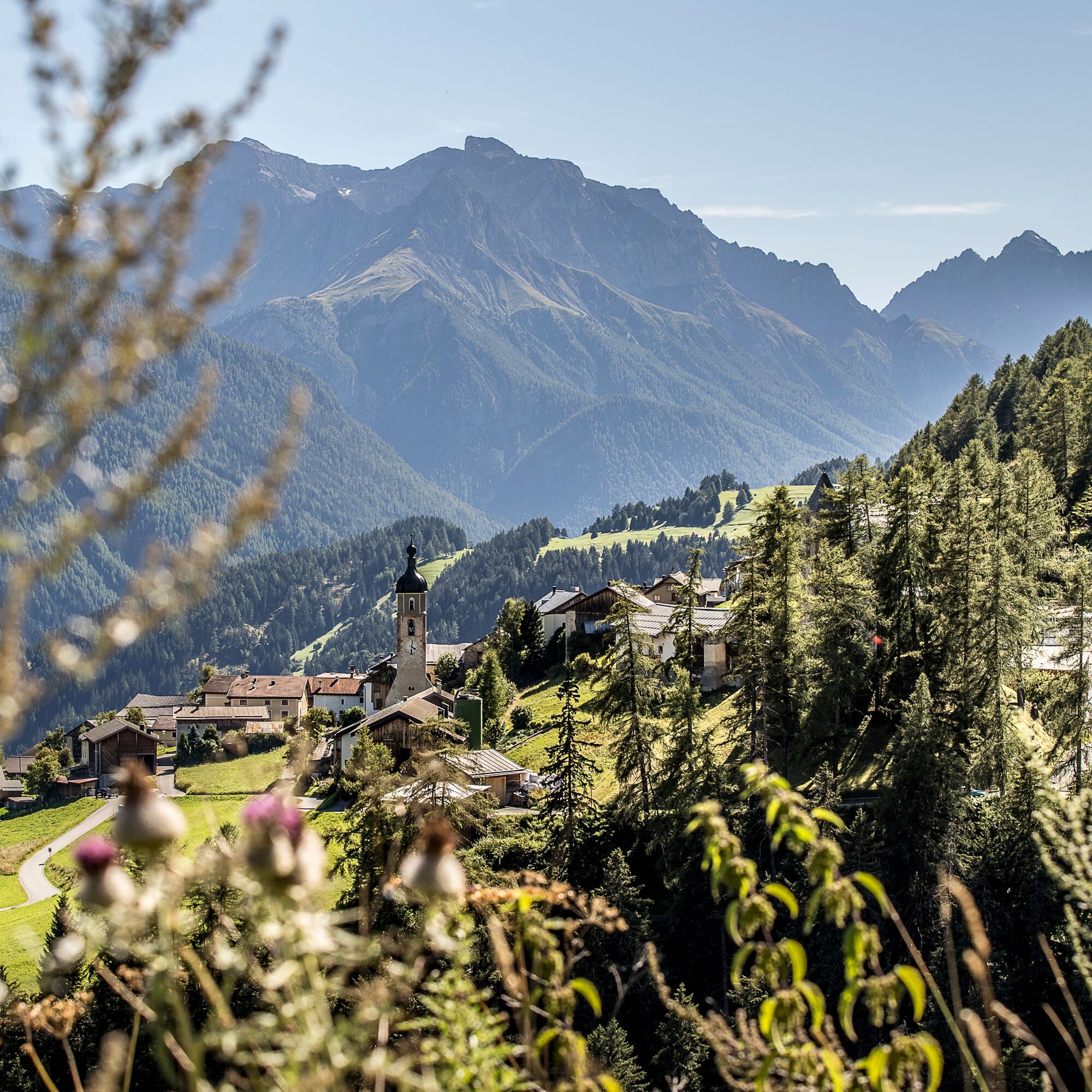
Tschlin, situated high above the Inn on a sunny terrace, is one of the most beautiful villages in Switzerland. From here, the hike continues along a gravel path out to Prà Grond. The trail continues across...
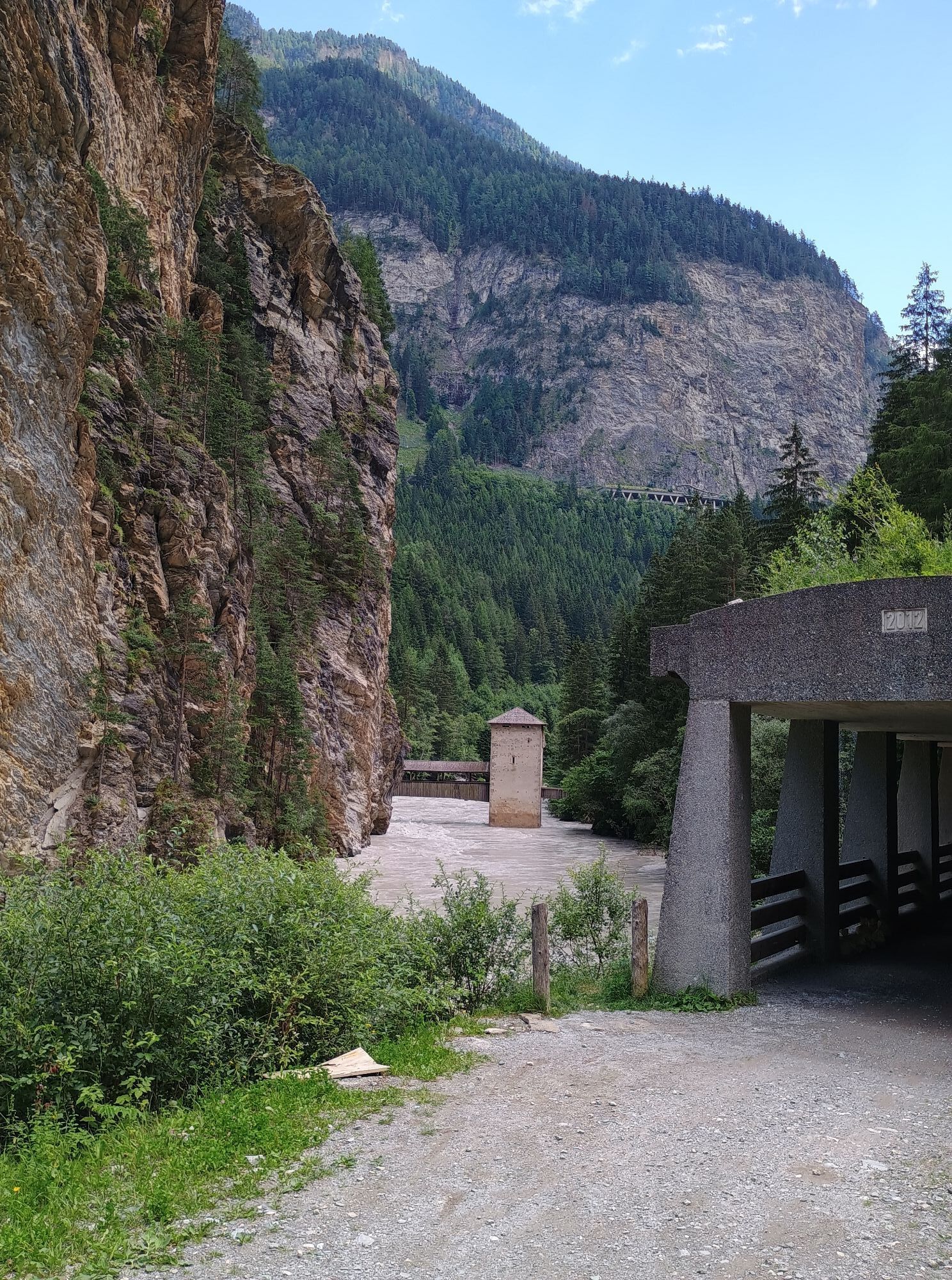
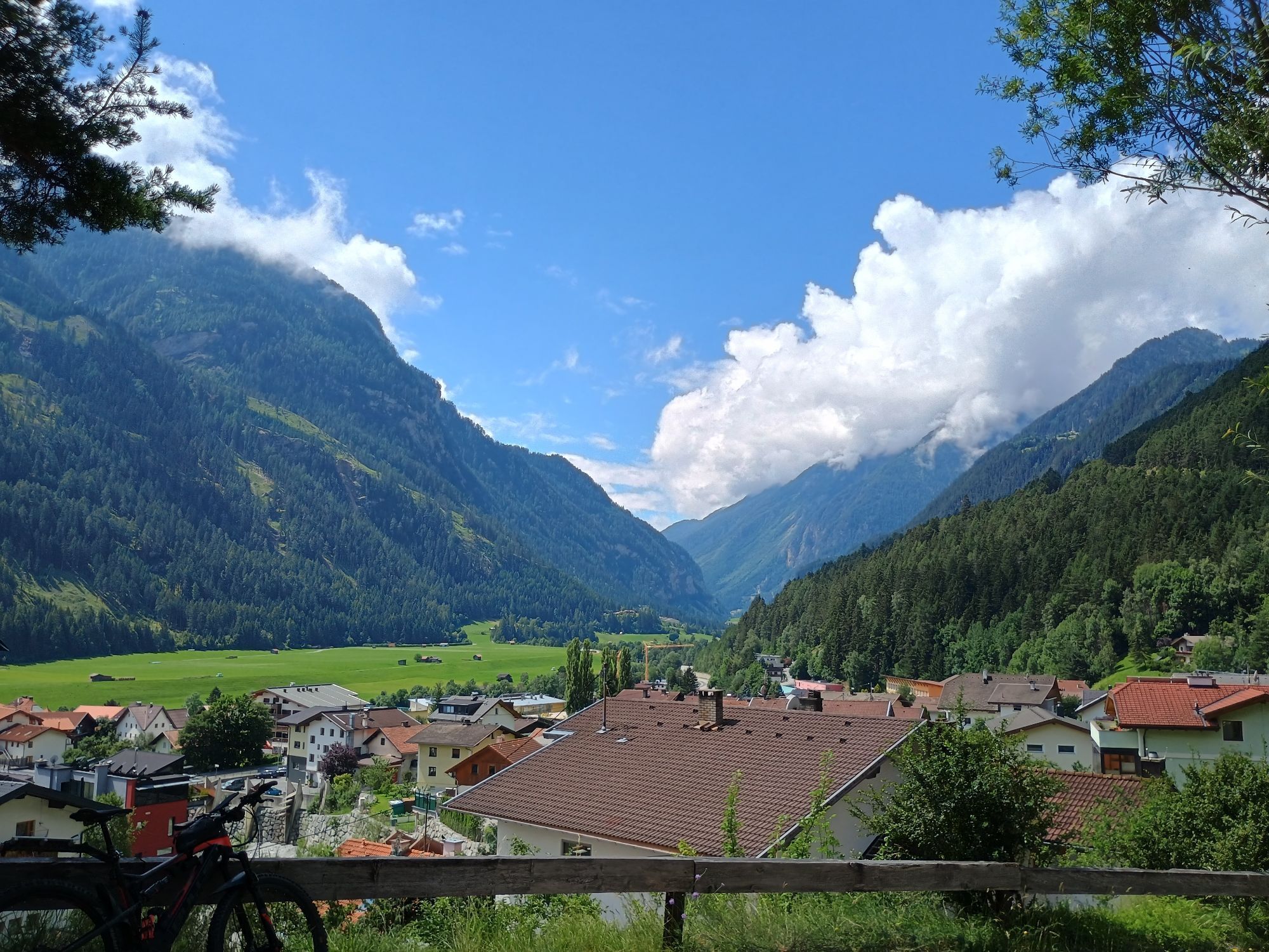
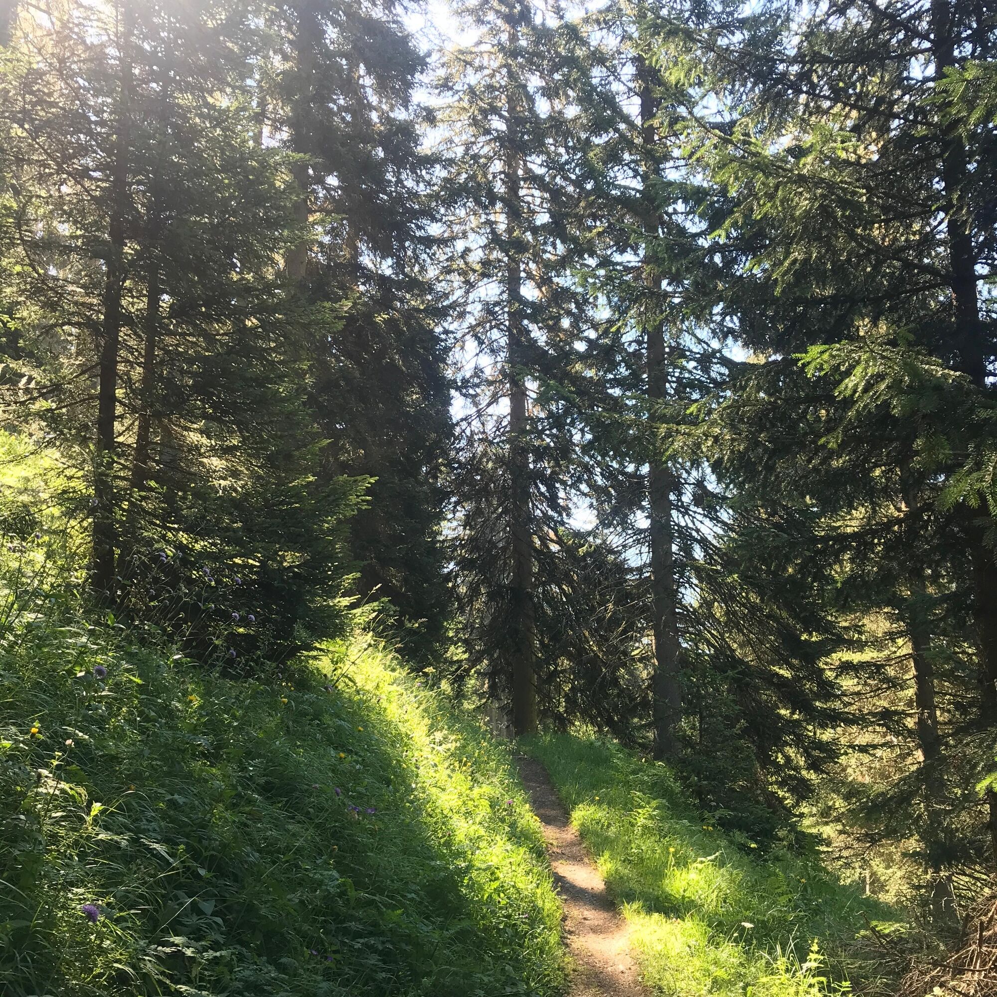
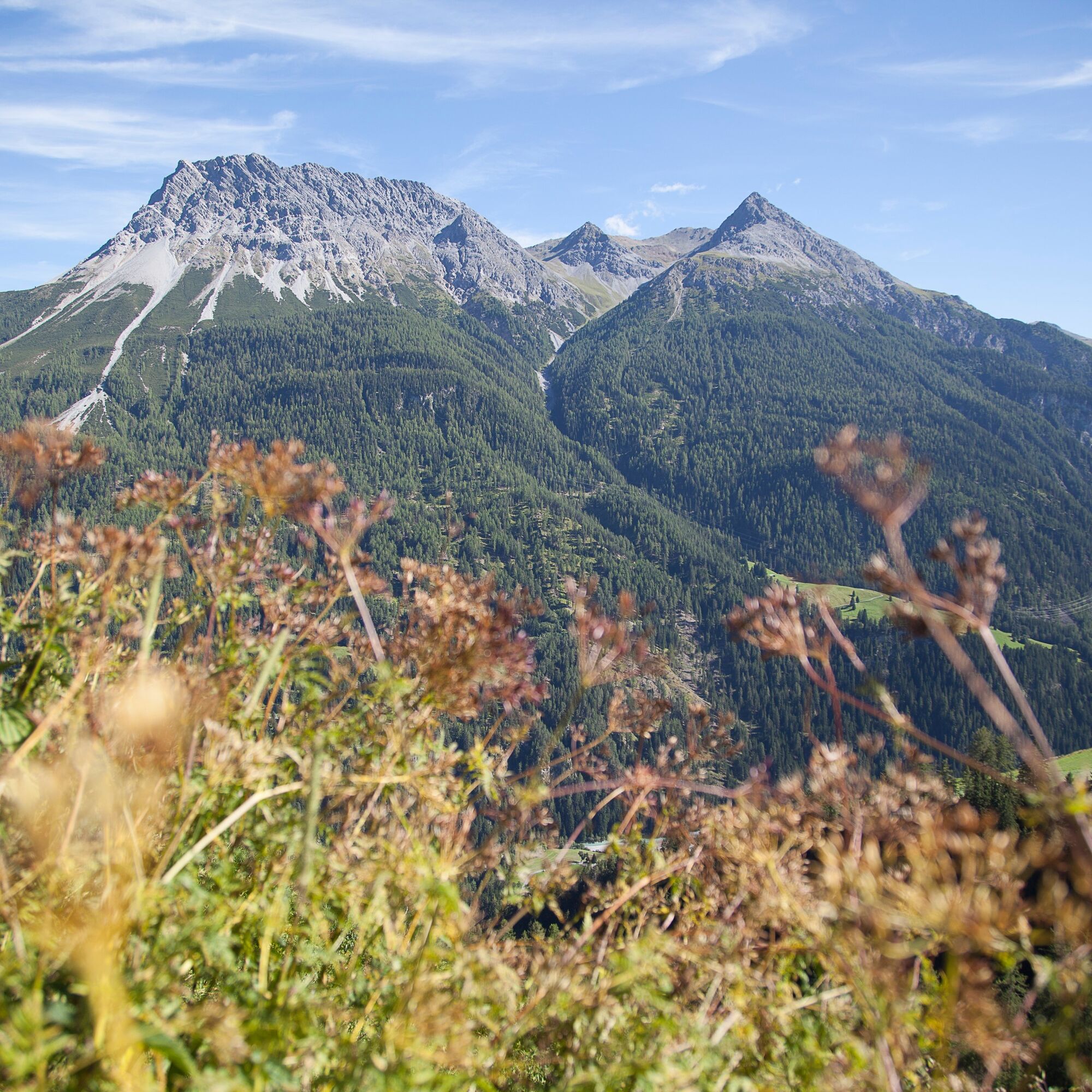
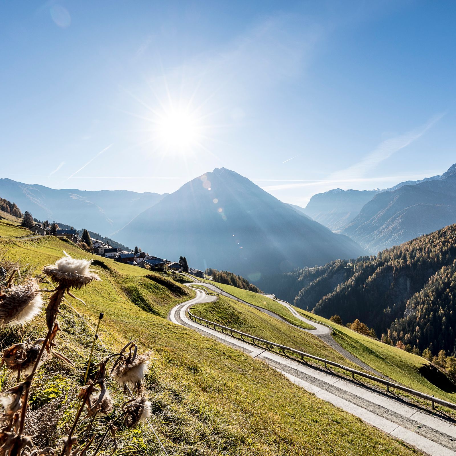
Tschlin, situated high above the Inn on a sunny terrace, is one of the most beautiful villages in Switzerland. From here, the hike continues along a gravel path out to Prà Grond. The trail continues across open country to the meadows of Mundaditsch always straight ahead through the forest. The path continues over a panoramic hilltop on a meadow path to Vadrain. Here you can enjoy the wonderful panorama of the Lower Engadine mountains. From the alp Vadrain a path leads via La Vota more or less along the contour line to Pra d'Arsüra below Motta Mundin (2138m). The Vadrain barbecue area is ideal for a lunch break. Now we descend steeply along a narrow path in the notorious avalanche slopes of Val Mundin. This is the most challenging part of the hike and a little concentration is required. But once at the clearing Pra da la Zipla, you can enjoy the last kilometers downhill to Vinadi.

Tschlin – Bridge Puntsot – Vadrain – Val Mundin – Val Zipla – Vinadi
Ja
Good shoes, rain and sun protection, water bottle, bandages.
The tour was evaluated in favorable weather conditions, current weather conditions and weather forecasts are mandatory to follow before starting the tour.
Emergency call:
144 emergency call, first aid
1414 Mountain rescue REGA
112 International emergency call
From the north: via Landquart - Klosters by car transport through the Vereina tunnel (Selfranga - Sagliains) or via the Flüela Pass into the Lower Engadine on H27.
From the east: via Landeck / Austria in the direction of St. Moritz on H27
From south: via Reschenpass (Nauders-Martina) or Ofenpass (Val Müstair-Zernez) on H27
Tschlin is located about 17 km east of Scuol in the municipality of Valsot and can be reached by car in about 20 minutes.
With the Rhaetian Railway (from Chur, Prättigau or Upper Engadine) hourly to Scuol-Tarasp station.
Continue by PostBus to the PostBus stop Tschlin, Cumün.
Free parking at the entrance to the village of Tschlin.
Via Engiadina video: multi-day hike in the Engadin Scuol National Park region.
Populaire rondleidingen in de buurt
- 4,1
Panoramaweg Schöneben Haider Alm
lichtWandelen5,78 km - 4,2
Reschensee
lichtWandelen15,6 km - 4,5
Radurschelklamm
mediumWandelen7,51 km - 5,0
NAUDERS | Grenzüberquerung
lichtWandelen7,41 km - 5,0
Samnaun Dorf – Muttler
zwaarWandelen14,8 km - 3,6
Bergstation Silvretta nach Patznauener Taja
lichtWandelen11,6 km - 5,0
Plamort
lichtWandelen8,25 km - 5,0
3 Länder Tour Uinaschlucht MTB
zwaarMountainbike74,6 km Nauders: Schweiz-Runde
Mountainbike32,6 km- 2,7
Pfundser Tschey Platzer Alm MTB
zwaarMountainbike34,9 km
Wandelen en spoorzoeken


Mis geen aanbiedingen en inspiratie voor je volgende vakantie
Uw e-mailadres is toegevoegd aan de mailinglijst.