


Naraus - Startgels - Runcahöhe - Flims


For those who prefer to skip the uphill battle, this hike is perfect: From the base station in Flims, you can comfortably take the FlemXpress to Startgels at 1,600 meters. The trail crosses the Punt Startgels...
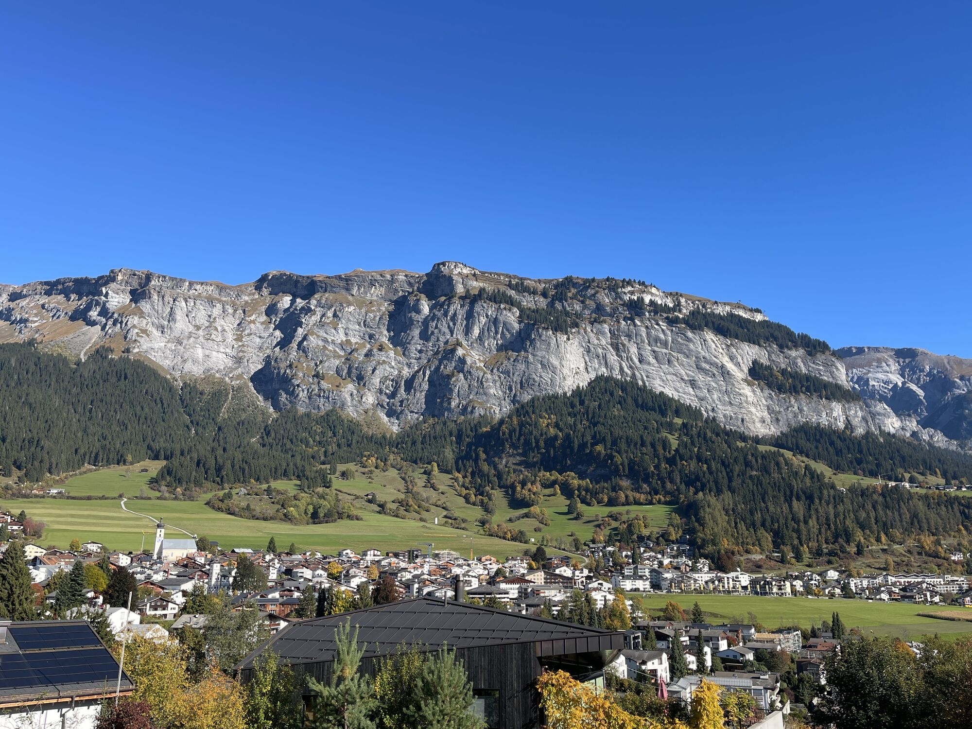
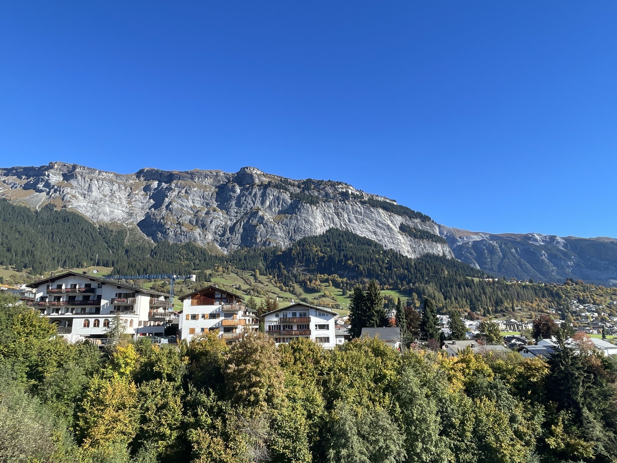
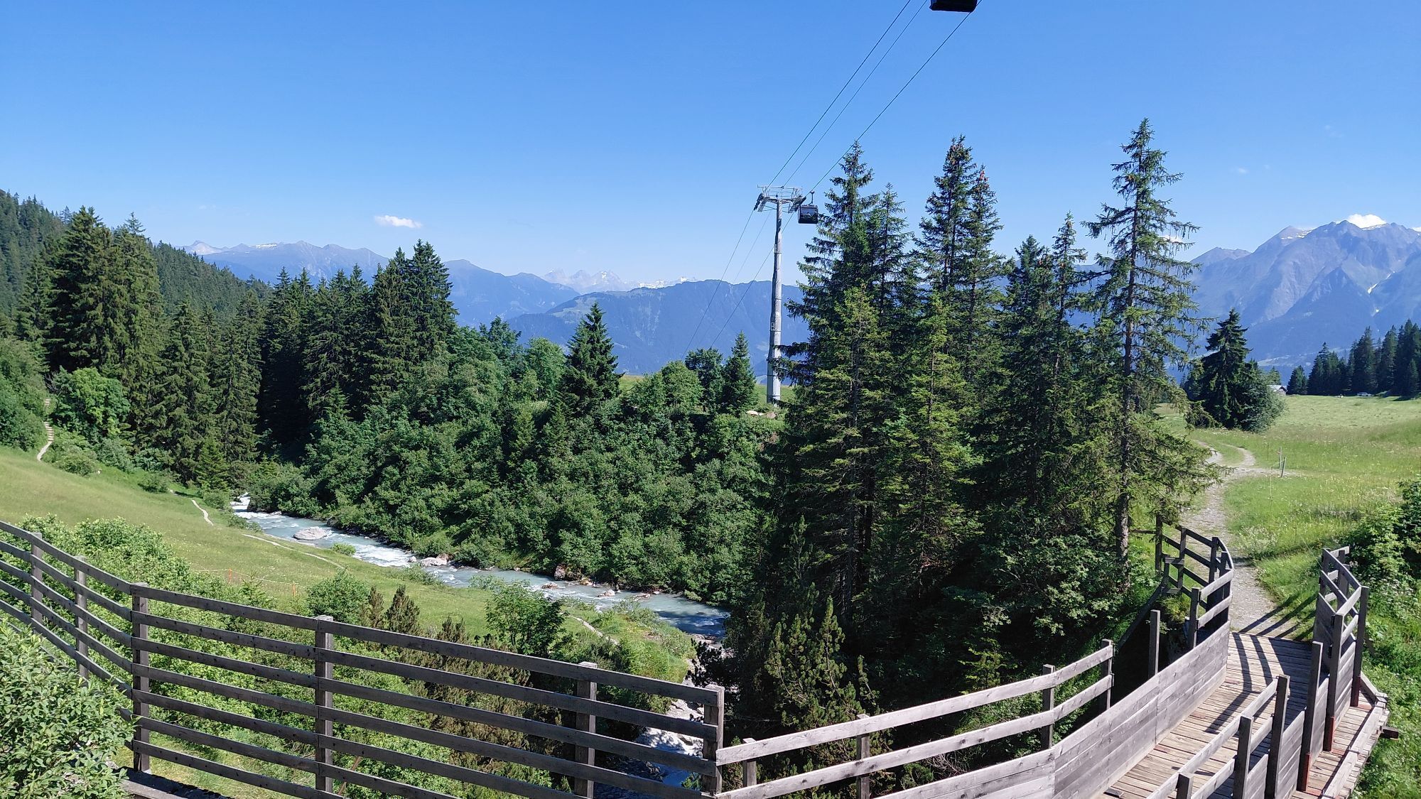
For those who prefer to skip the uphill battle, this hike is perfect: From the base station in Flims, you can comfortably take the FlemXpress to Startgels at 1,600 meters. The trail crosses the Punt Startgels bridge over the Flem, a tributary of the Vorderrhein. From there, it winds through the winter forest towards the Runca Heights, which can be reached in about an hour. This idyllic spot is nestled in a clearing above Flims. The remaining hike of just over 30 minutes promises a refreshing experience as the trail leads through the shaded Uaul Runca forest back down to the valley.

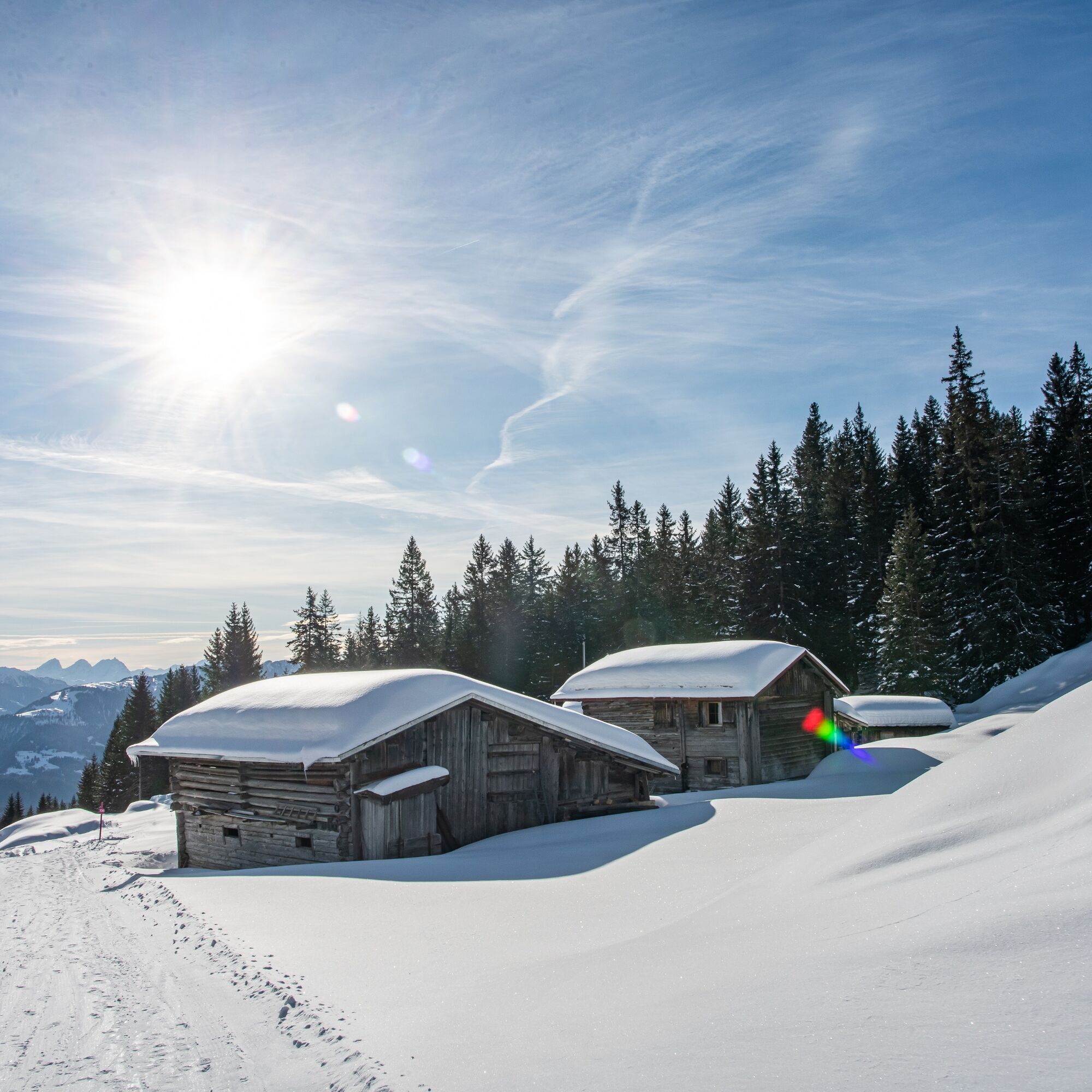
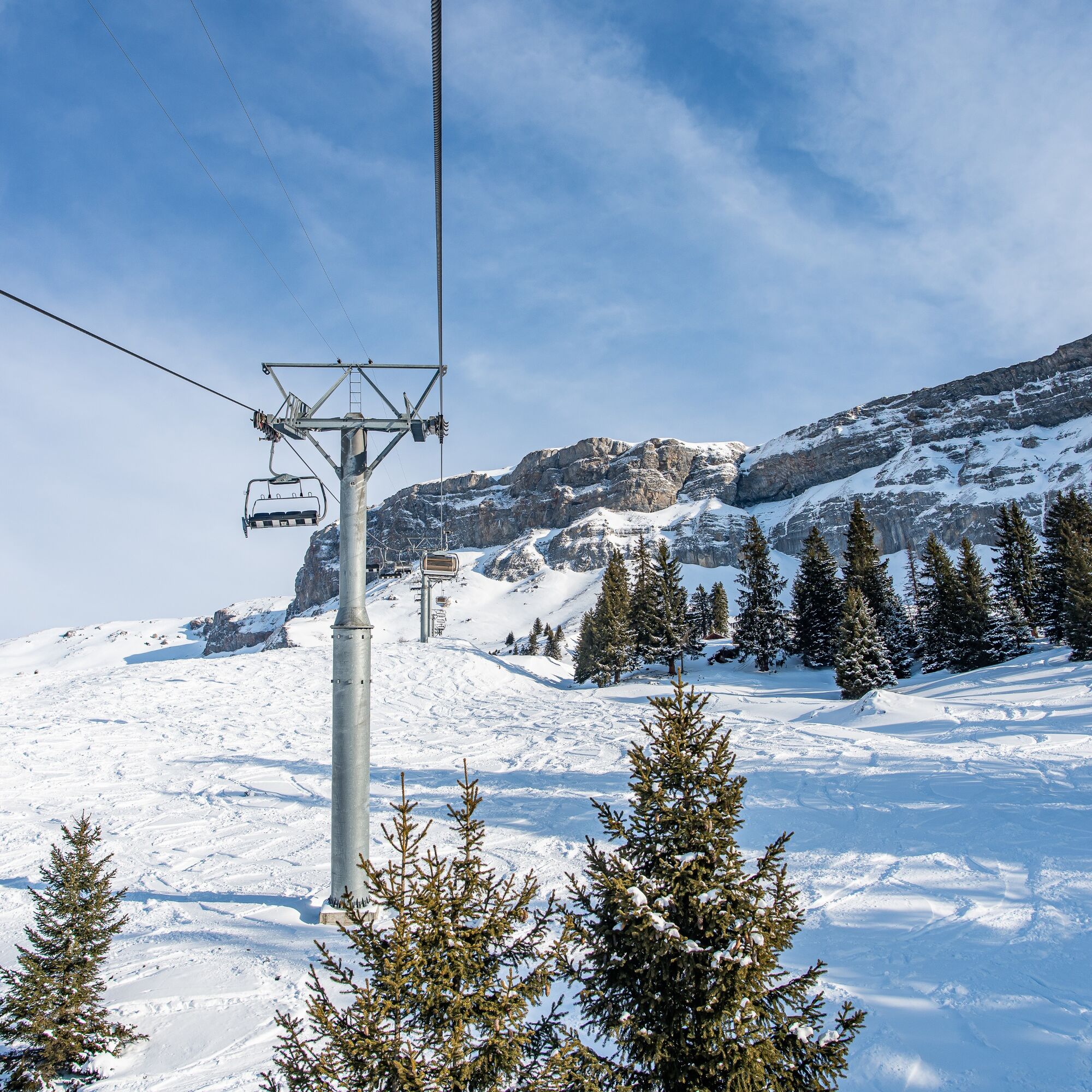
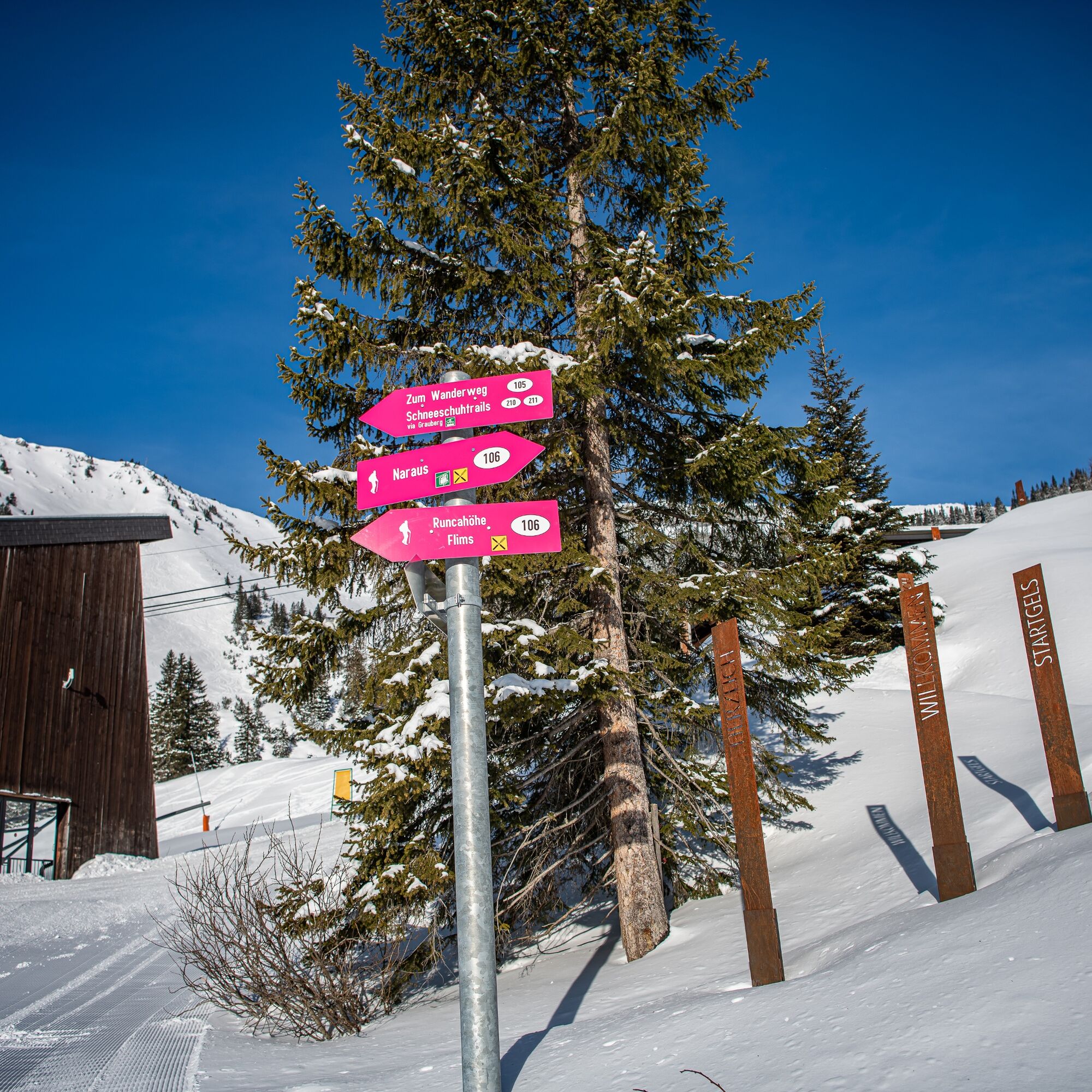
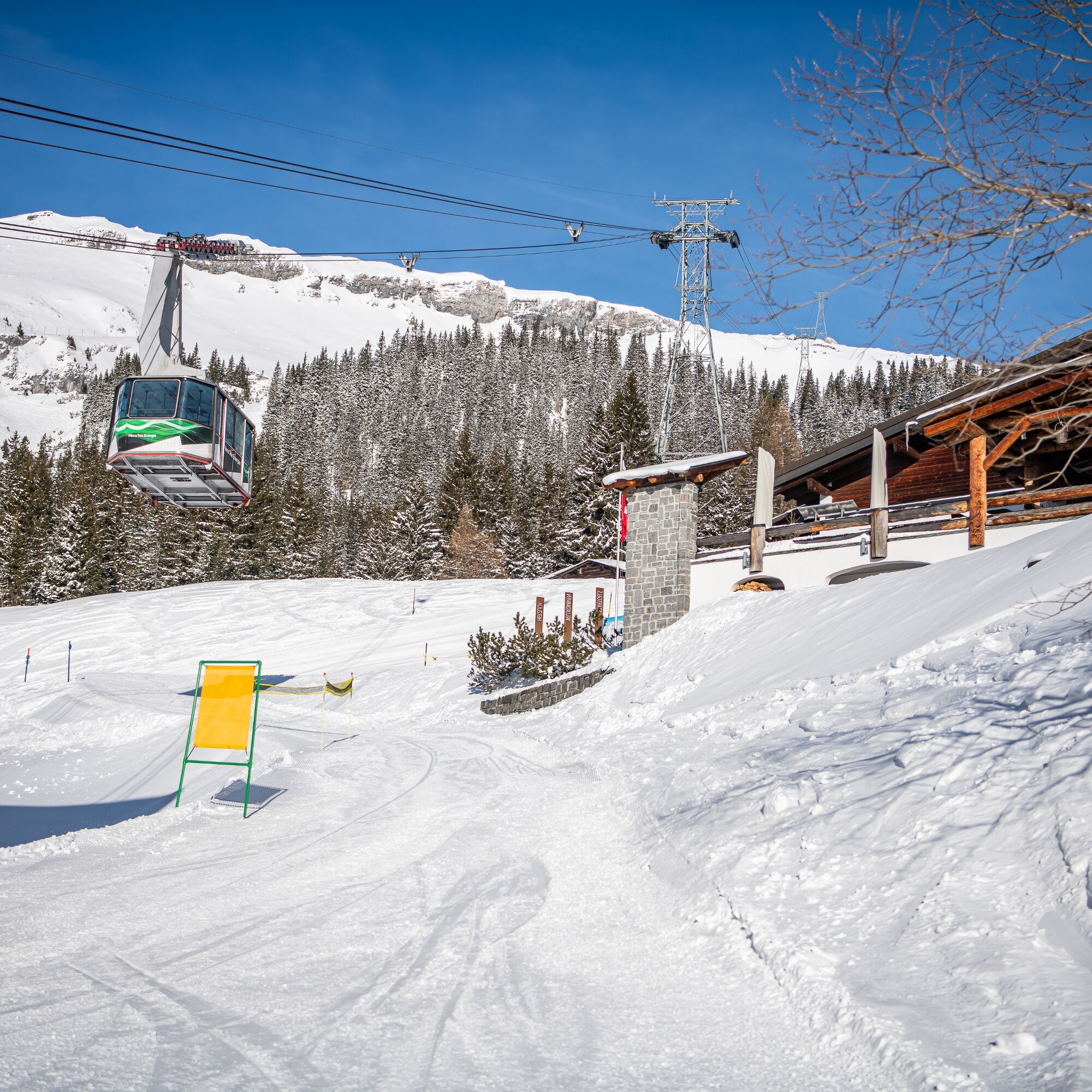
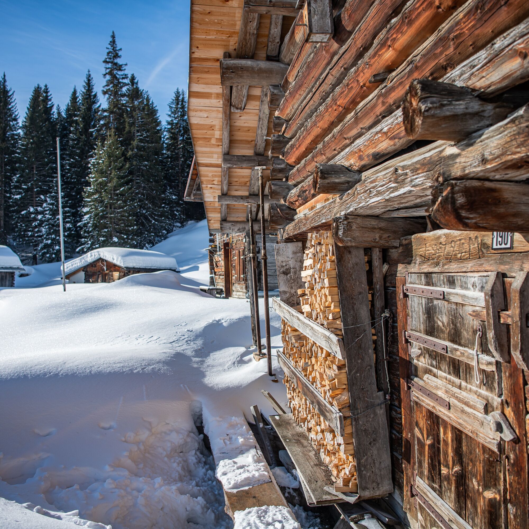
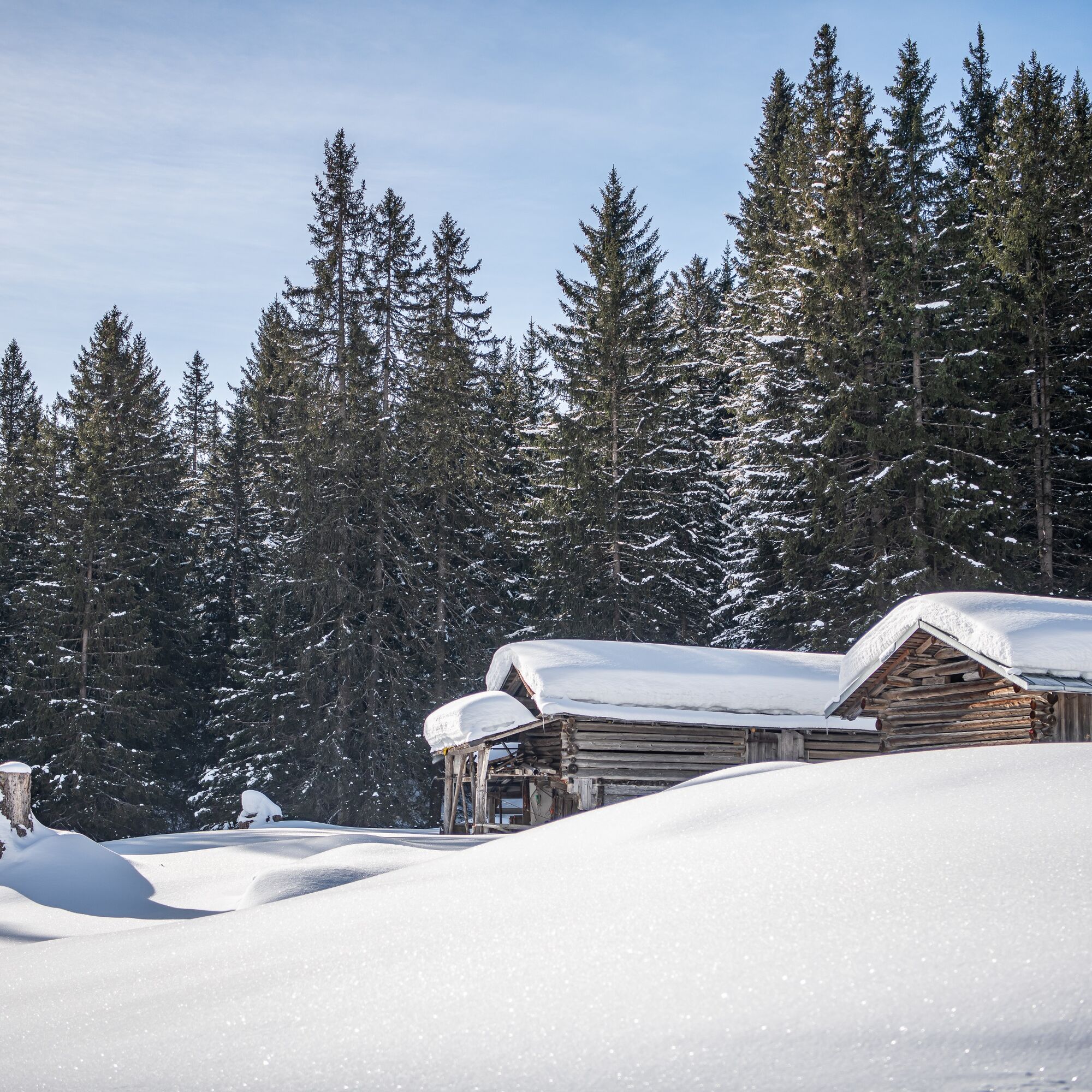

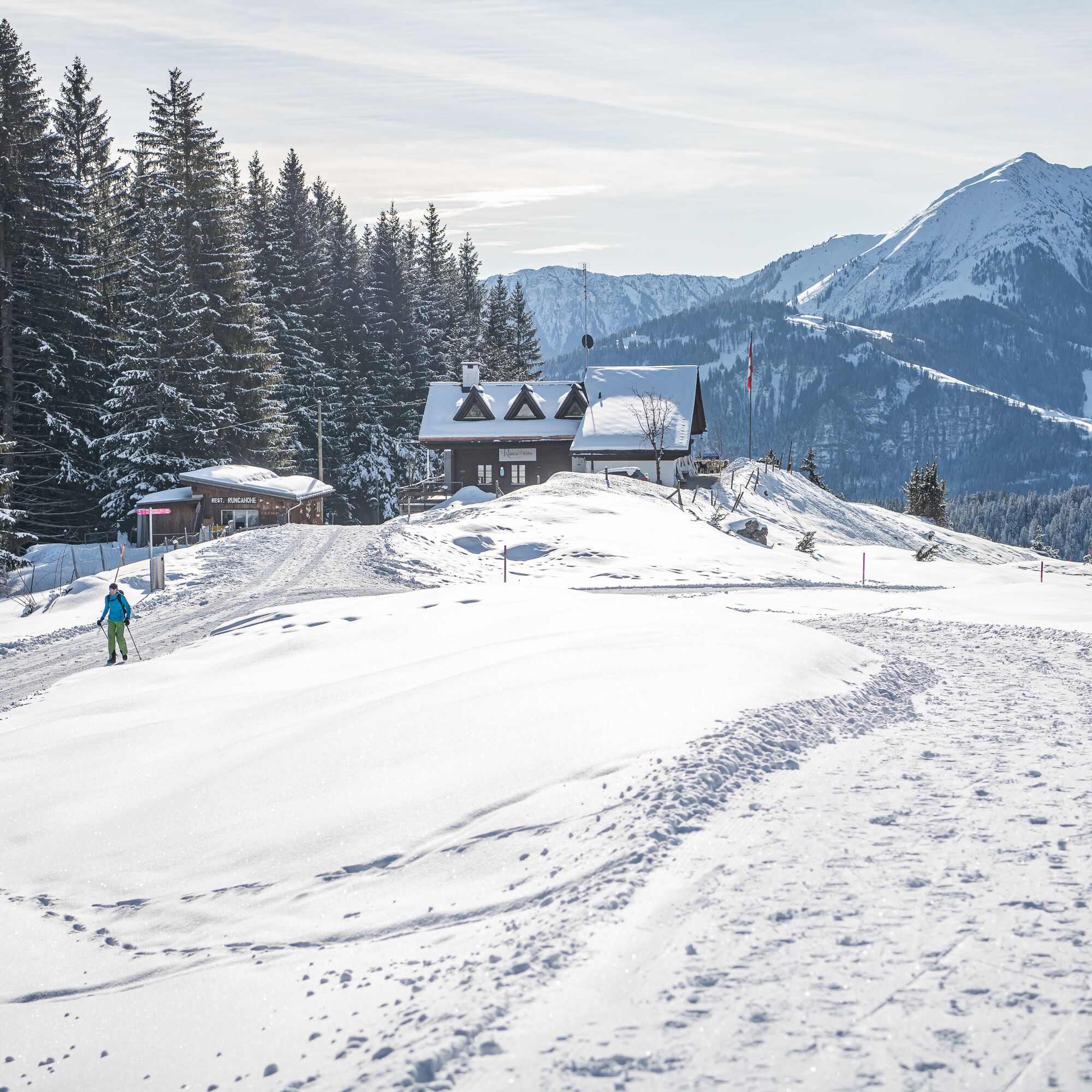
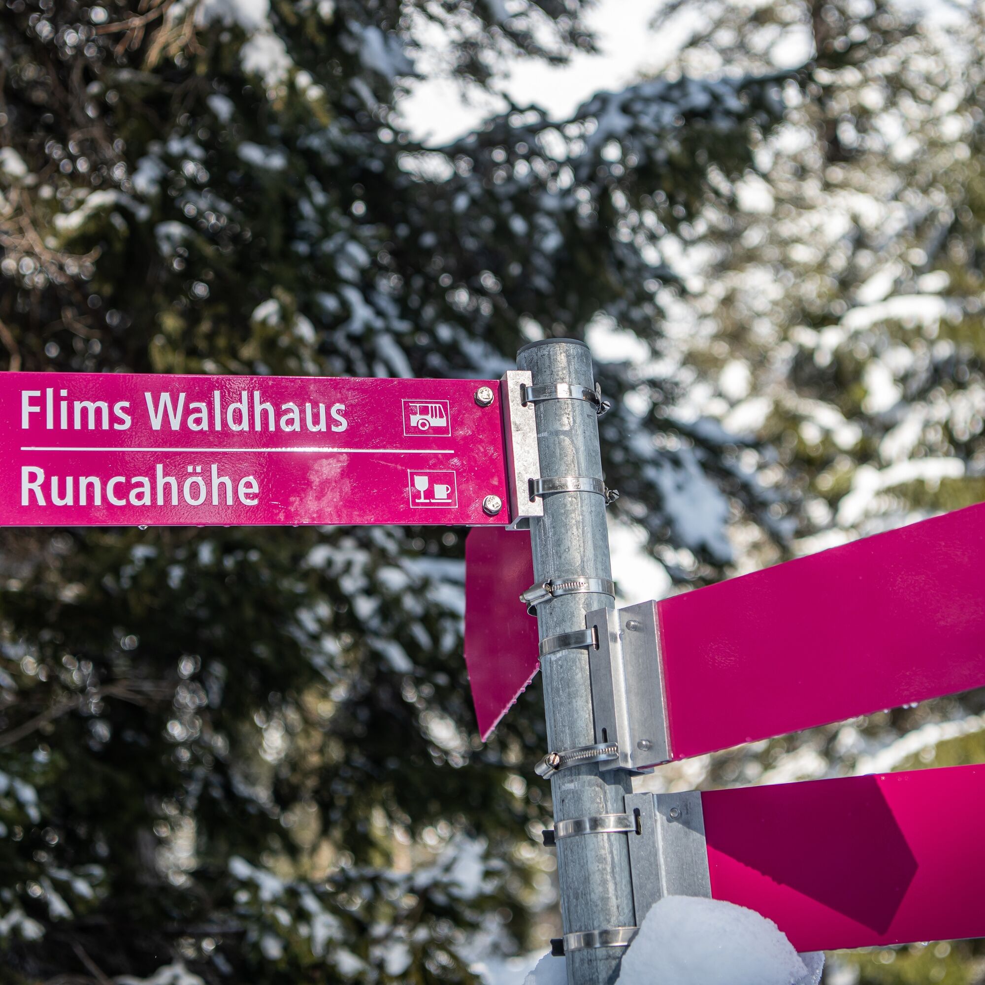
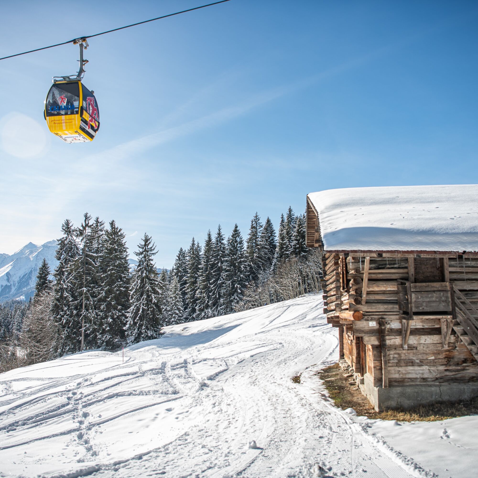
The starting point of the hike is the base station in Flims. From there, the modern gondola takes us directly to Startgels. The cozy mountain restaurant at Startgels invites us to relax and recharge on its sunny terrace before continuing to the mountain restaurant at Runca Heights, which can be reached in about an hour. Here, too, the restaurant and terrace offer a perfect spot for a break. The remaining hike of about 30 minutes leads through the shaded Uaulla Runca forest down to the valley, returning to Flims.
Wintery footwear
Take sunscreen with you
By car Motorway A13 from Zurich, exit 18 Flims
By the post bus from Chur or the public Flims Laax Falera Shuttle
Bus Stop: Flims Bergbahnen (mountain railways)
750 parking spaces in the Stenna parking garage Flims Bergbahnen
Guest Information Flims Laax Falera
Via Nova 62
CH-7017 Flims
Tel: +41 (0)81 920 92 00
Email: info@flimslaax.com
Learn more about winter hiking in Flims Laax
Route open or closed? Check the Live Info
Enjoy the unique light of the late afternoon on the terrace of the Runcahöhe mountain restaurant, as the setting sun bathes the valley in a golden glow.
Populaire rondleidingen in de buurt
- 4,5
4-lake hike
mediumWandelen12,8 km - 4,7
The riverside trail: Trutg dil Flem
mediumThemapad13,5 km - 4,3
Via Ferrata Pinut
mediumKlettersteig5,82 km - 4,7
Rhine Gorge Hike: Senda Ruinaulta (659)
lichtWandelen9,39 km Piz Fess 2880m, der Stolze
zwaarWandelen12,8 km- 4,8
Rhine Gorge: From Ilanz to Versam into the heart of the Rhine Gorge
mediumWandelen11,4 km - 4,3
Round trip hike Falera - Curnius - Alp Dadens - Falera
mediumWandelen11,4 km - 5,0
Staderas - Conn - Rhein Gorge Ruinaulta-Staderas
mediumWandelen19,8 km - 5,0
Rhine Gorge Circular Hike
mediumWandelen11,4 km Rheinschlucht-Ruinaulta: Ilanz - Reichenau
mediumWandelen21,2 km
Wandelen en spoorzoeken


Mis geen aanbiedingen en inspiratie voor je volgende vakantie
Uw e-mailadres is toegevoegd aan de mailinglijst.