


Burg Tour - Nr.13


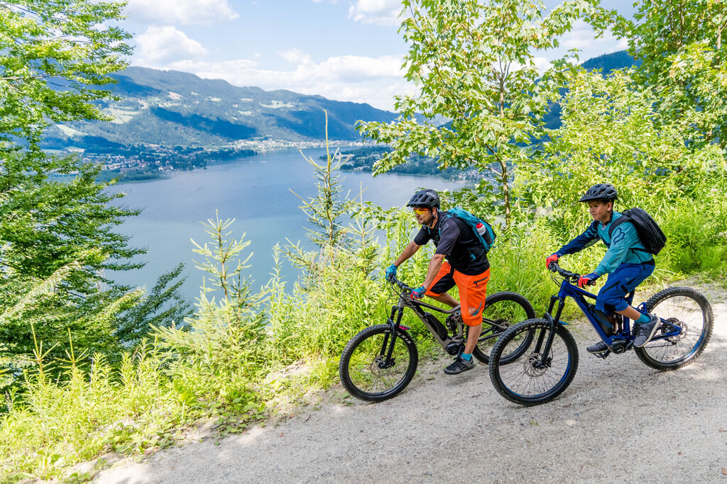
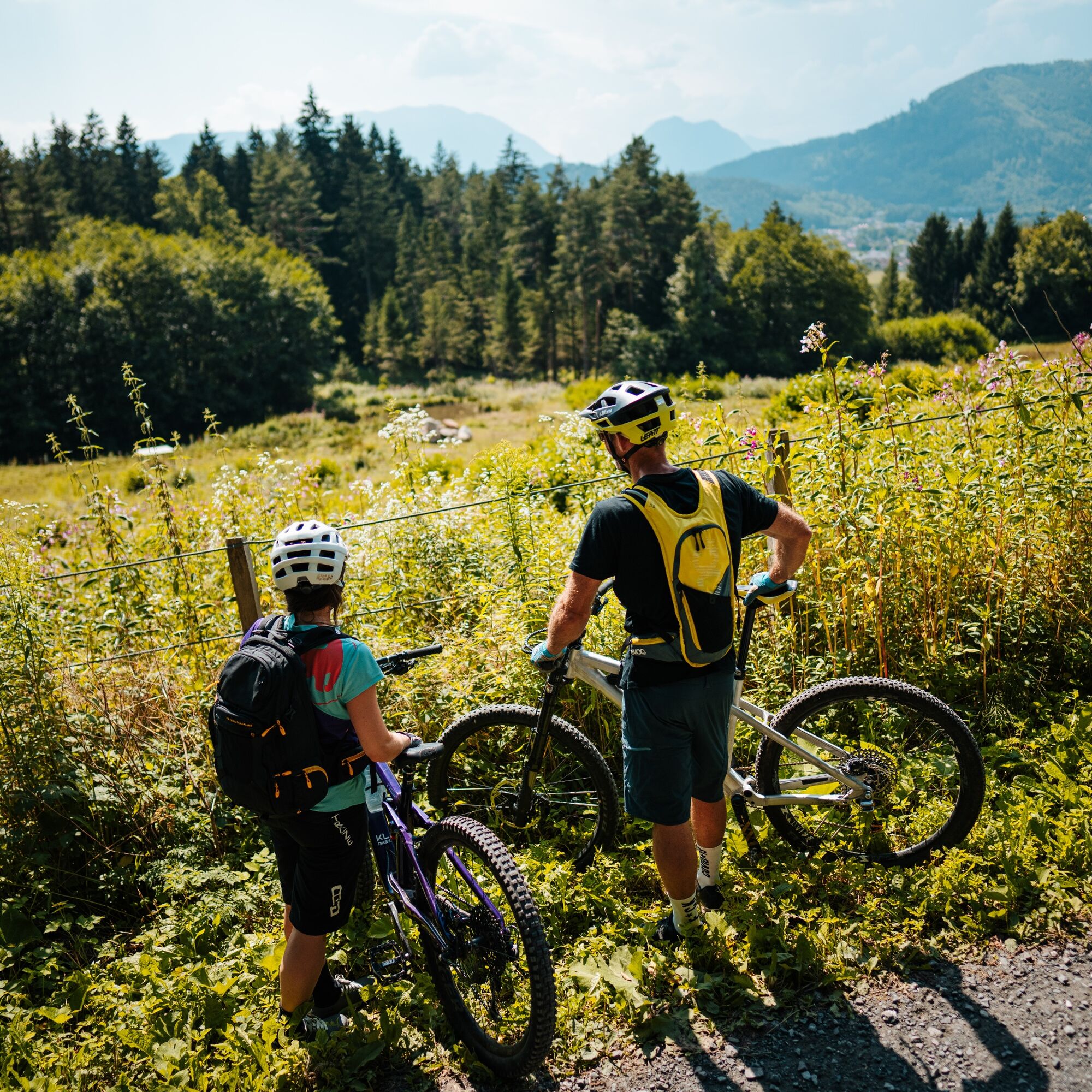
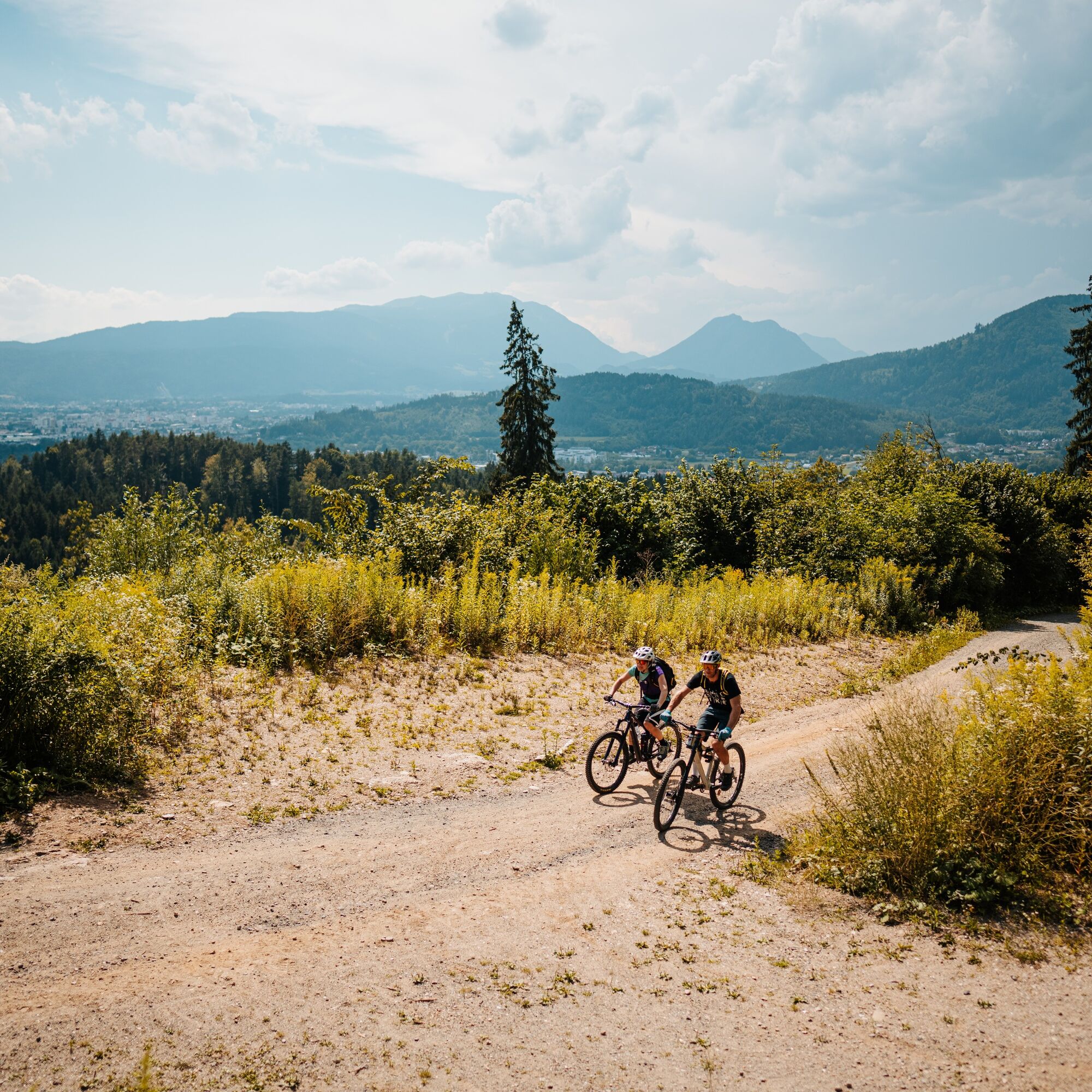
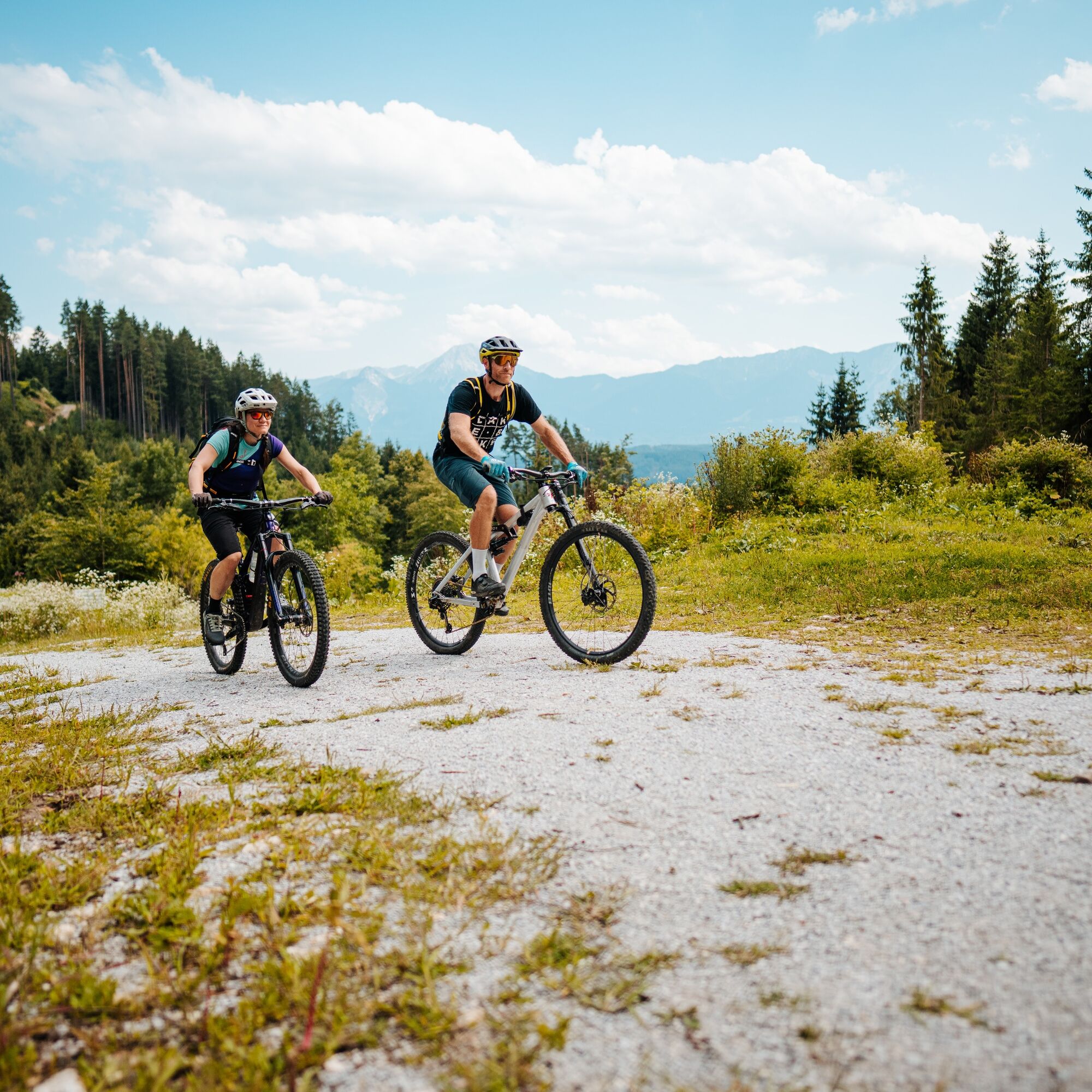
This MTB tour leads along side roads, cycle paths and forest paths through the Ossiacher Tauern and offers many wonderful views of the lake and the castle. Experience the beauty of the Ossiacher Tauern...
This MTB tour leads along side roads, cycle paths and forest paths through the Ossiacher Tauern and offers many wonderful views of the lake and the castle. Experience the beauty of the Ossiacher Tauern and the Ossiacher See on your mountain bike or eMountain bike.
Start in Gratschach near Villach:
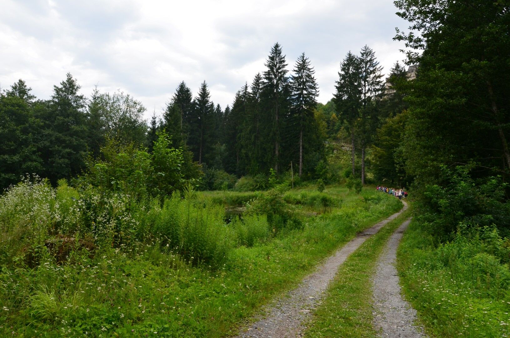
Starting from Gratschach near Villach, you first cycle along the road towards Zauchen / Wernberg. After about 800m turn left into a forest path. Follow this path for around 10km, always following the signs "Burg Tour 13" until you reach the R2A cycle path (Ossiacher See cycle path). Here you turn left towards Villach and follow the cycle path to Landskron. Cycle along the main road until you get to the traffic lights, where you turn left towards Zauchen / Wernberg. After a short while on the road you will reach the starting point of the tour.
Start in Ossiach:
However, the tour itself can also be driven from Ossiach. To do this, starting from Ossiach, first follow the R2A cycle path to Landskron and then follow the description above.
Possible combinations: This tour can also be combined with the MTB tours 10, 11, 12, 14 and subsequently with tour 11 also with the Schlösserradweg.
Suitable mountainbike, ebike, helmet and drinking water.
Please stick to the fair play rules.
The S2 line connects Lake Ossiach to Villach and Lake Faak. Exit the train at the station in St. Ruprecht.
Region Villach Tourism
+43 4242 42000
www.visitvillach.at
Don´t forget to stop at the castle - more information!
Webcams van de tour
Gerlitzen Gipfel
Gerlitzen Gipfel
Gerlitzen Gipfel
Gerlitzen Gipfel
Ossiach/Ossiachersee
Ossiach/Ossiachersee
Ossiach/Ossiachersee
Ossiach/Ossiachersee
Ossiach/Ossiachersee
Ossiach/Ossiachersee
Annenheim/Ossiacher See
Landskron
Villach - Friedensbrücke
Gerlitzen Gipfel
Gerlitzen Mittelstation Kanzelhöhe
Gerlitzen Mittelstation Kanzelhöhe
Gerlitzen Mittelstation Kanzelhöhe
Gerlitzen Mittelstation Kanzelhöhe
Observatorium Kanzelhöhe
Observatorium Kanzelhöhe
Observatorium Kanzelhöhe
Observatorium Kanzelhöhe
Observatorium Kanzelhöhe
Observatorium Kanzelhöhe
Observatorium Kanzelhöhe
Observatorium Kanzelhöhe
Villach
Hotel SeeRose
Golf Velden am Wörthersee
Ossiacherberg
Bodensdorf am Ossiacher See
Bodensdorf am Ossiacher See
Populaire rondleidingen in de buurt
- 4,6
Rotschitza Klamm Klettersteig B/C
mediumKlettersteig3,73 km - 3,9
Faakersee Rundweg
lichtWandelen9,55 km - 4,9
4 Huts Tour
mediumWandelen8,96 km - 5,0
Mittagskogel, 2145m, Normalweg
mediumWandelen12,6 km - 5,0
BGH: Techantiger MK, Mallestiger MK, Schwarzkogel
mediumWandelen15,0 km - 3,9
Gerlitzen - Hüttersteig
zwaarWandelen6,80 km - 4,3
Schluchtenweg
mediumWandelen6,36 km - 4,5
Kanzianiberg alle 8 wichtigen Stationen, BCD/E
zwaarKlettersteig3,22 km - 4,7
Schwarzkogel-Runde über Jepzasattel Schwarzkogel, Mallestiger Mittagskogel
mediumWandelen13,4 km - 4,3
Klettersteig(e) Peterlewand (alle 5) B/C/D(E)
mediumKlettersteig3,18 km
Wandelen en spoorzoeken


Mis geen aanbiedingen en inspiratie voor je volgende vakantie
Uw e-mailadres is toegevoegd aan de mailinglijst.