


Rete Natura 2000 - Capanne di Marcarolo Stage 1


Foto's van onze gebruikers

In case of departure and arrival from Voltaggio: ancient Apennine village embellished with numerous Genoese style buildings, Museum of Rural Civilization, Capuchin Picture Gallery (canvases of important...
In case of departure and arrival from Voltaggio: ancient Apennine village embellished with numerous Genoese style buildings, Museum of Rural Civilization, Capuchin Picture Gallery (canvases of important Genoese painters). Cascina Nespolo and ancient fruit chestnut trees. Common to all stages - Capanne di Marcarolo Natural Park: high geological interest, contact area between the Alpine chain and the Apennine chain, important outcrops of ophiolitic rocks and related floristic endemisms.

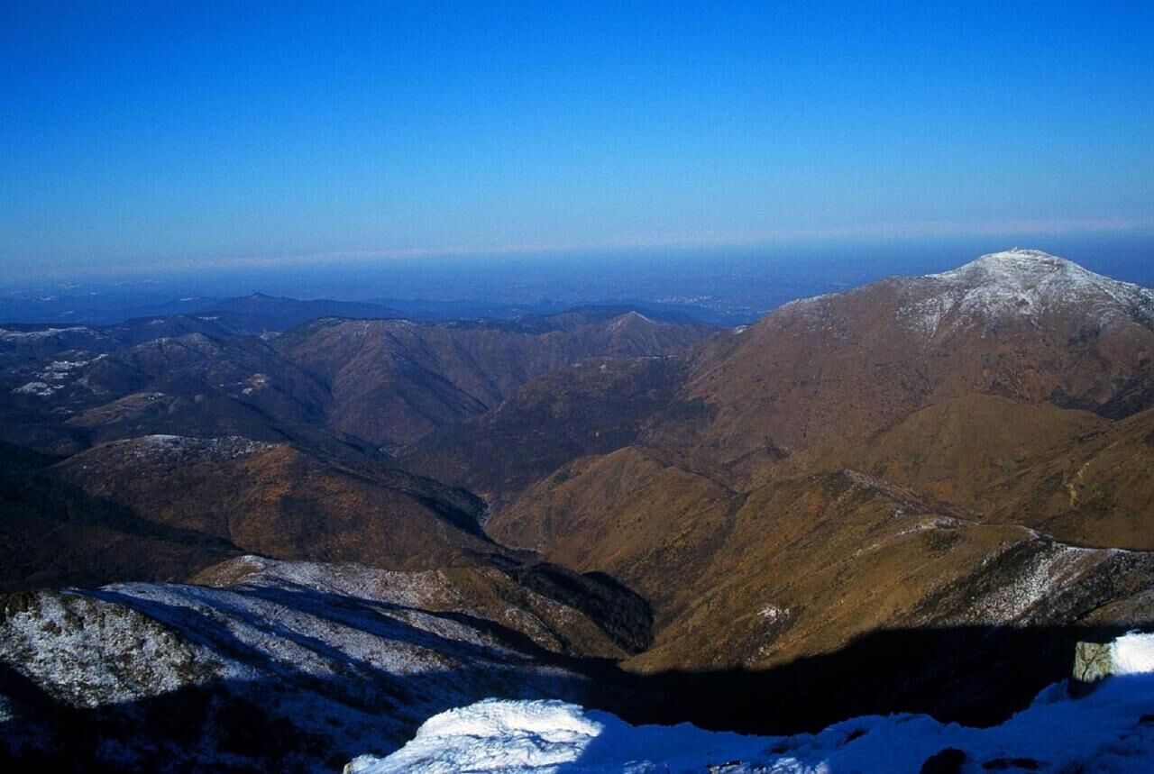
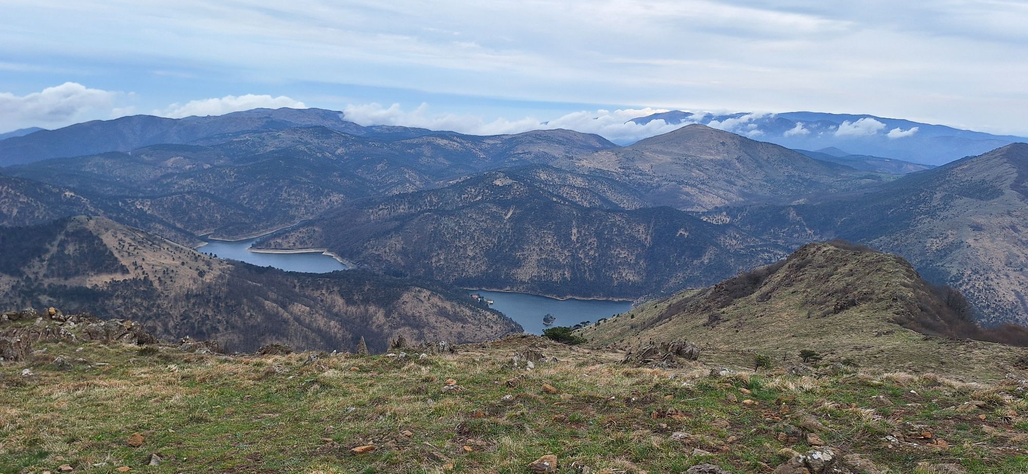
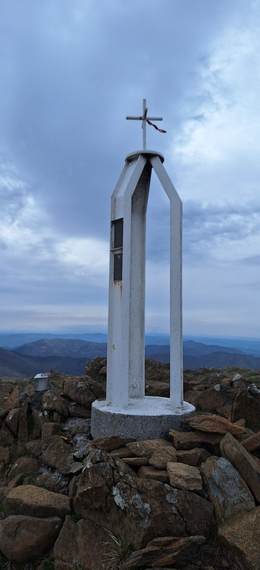
In the first section the itinerary runs for long stretches along the watershed that separates Liguria from Piedmont. Starting from Passo della Bocchetta (778 m) you proceed uphill for approximately 1.7 kilometres, along a stretch of the Alta Via dei Monti Liguri (previously marked as itinerary E1), paved with river pebbles. Once you reach the large repeater located on Monte Leco, follow the path that branches off to the left and continues along the Ligurian side of the mountain, until after a short descent you reach the Colla del Monte Leco (960 m), a grassy saddle that separates the valley of the Rio Crovi from that of the Rio Campi. The itinerary continues uphill along the northern slope of Monte Taccone, until reaching a pass from which it is possible to reach the top of the mountain (1113 m) and admire the Gorzente Lakes. After a short flat stretch you reach the Passo del Mezzano (1066 m), at which the Alta Via dei Monti Liguri descends to the left towards Lago Bruno, while the itinerary follows the yellow trail signs and reaches the top of Monte delle Figne (1172 m), the highest peak in the Park. From here the itinerary continues descending through the high altitude meadows towards Cascina Carrosina. Once you reach the farmhouse, ignore the path that branches off to the left and descends, instead continuing along the natural road. Once you reach a sign post, the road descends to the right while the itinerary continues to the left along a path that remains halfway up the hill and reaches the windy Dagliola Pass (856 m). Following the signs for Ponte Nespolo, take the path on the left, which descends between the rocks along the southern slope of Monte Tobbio and enters a chestnut forest, until reaching the outskirts of Cascina Nespolo. Continuing along the dirt road that connects the farmhouse to the SP 165, you come across the last deviation on the left for Ponte Nespolo, which leads directly to the stopover point “La Baita del Gorzente
We recommend the use of trekking boots, fleece and rain cape
NOTHING TO REPORT
Populaire rondleidingen in de buurt
-
Punta Martin - Pegli
mediumWandelen 18,8 km -
Busalla - Passo della Bocchetta
lichtWandelen 7,39 km -
Libarna and Alto Monferrato by bike
zwaarMountainbike 47,8 km -
Sentiero 200 - Anello Borbera - Spinti - TAPPA 11/11 (Borassi - Arquata Scrivia) in mountain bike
Mountainbike 16,8 km -
Sentiero 200 - Anello Borbera - Spinti - TAPPA 11/11 (Borassi - Arquata Scrivia) in camminata
Pelgrimspad 16,7 km -
Genova, Cappella Baiarda da Pra29/12/21
lichtWandelen 9,28 km -
5,0
GE_25 The Guidovia della Guardia
Wandelen 6,64 km -
Strada Praglia monte Taccone laghi del Gorzente
Wandelen 14,4 km -
IL GRANDE CAMMINO DEL MONFERRATO - 10°TAPPA: OVADA - MORNESE
mediumPelgrimspad 19,2 km -
IL GRANDE CAMMINO DEL MONFERRATO - 11°TAPPA: MORNESE - GAVI
mediumPelgrimspad 18,2 km
Wandelen en spoorzoeken


Mis geen aanbiedingen en inspiratie voor je volgende vakantie
Uw e-mailadres is toegevoegd aan de mailinglijst.