


I Forni le Baite dell'Ables


The starting point is from the Rifugio dei Forni 2180 m on the dirt road to Rifugio Pizzini sign Way n. 555, which turns northeast onto two steep switchbacks. On the first straight stretch outside the...
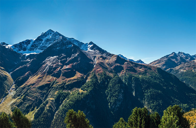
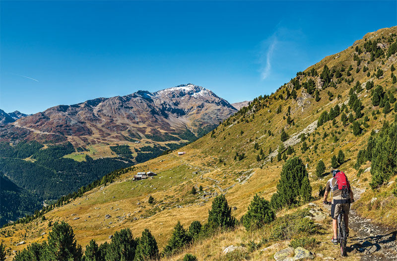
The starting point is from the Rifugio dei Forni 2180 m on the dirt road to Rifugio Pizzini sign Way n. 555, which turns northeast onto two steep switchbacks. On the first straight stretch outside the wood we find a diversion indicating the right direction of our itinerary n. 527 sign with indication Baite Ables, Confinale, Caval laro 2320 m. You turn decisively westward on an almost flat dirt road, pass over Predaccio mountain huts sign with the first indication of the Way n. 527, and cross Val Manzina on a bridge. Here begins the trail, which repre sents the only short but challenging stretch to overcome. Then you reach the beautiful Baite dell'Ables 2240 m, whence the descent starts along the Track n. 571.1 through Ceisa di Sotto. You can also head downhill the length of the Track n. 573. To be also pointed out that you have possibility to cover the stretch going from Baite dell'Ables to Baite Confinale above the tree line sign Way n. 527 and then to descend towards Santa Caterina Valfurva on the Track n. 568 this is a 10 km alternative road or even to proceed downhill to Baite Cavallaro and get to Sant'Antonio Valfurva.

Rifugio dei Forni - Baite dei Forni - Baite Pradaccio - Baite Rasei - Baite dell'Ables - Ceisa di Sotto - Santa Caterina
Populaire rondleidingen in de buurt
-
4,8
Martellerhütte Höhenweg
mediumHigh rope 8,70 km -
3,7
Von Sulden zur Hinteren Schöntaufspitze
mediumWandelen 12,7 km -
Wanderung/Aufstieg zur Payerhütte
lichtWandelen 15,9 km -
5,0
Martell-Tal Rundweg zur Marteller Hütte
lichtWandelen 10,8 km -
4,9
Plimaschlucht
lichtBergwandelen 7,23 km -
4,8
Val Martello - Trentino Alto Adige - rifugio Martello - giro ad anello- Cevedale
mediumWandelen 9,40 km -
3,7
Düsseldorfer Hütte 2721m
mediumWandelen 4,14 km -
5,0
Ortler über Hintergrat
zwaarHigh rope 8,03 km -
4,5
Obervinschgau - Madritschjoch, der höchste Transalp Übergang
Mountainbike 9,54 km -
Ortler über Meraner Weg (vom Tal/Trafoi)
zwaarHigh rope 11,9 km

Wandelen en spoorzoeken


Mis geen aanbiedingen en inspiratie voor je volgende vakantie
Uw e-mailadres is toegevoegd aan de mailinglijst.