


Castles Trail
Moeilijkheidsgraad: S1


Against a varied landscape backdrop of streams and deciduous forests, the route passes through cultivated fields, apple orchards and vineyards, chestnut groves and ancient terracing. But it is the castles,...
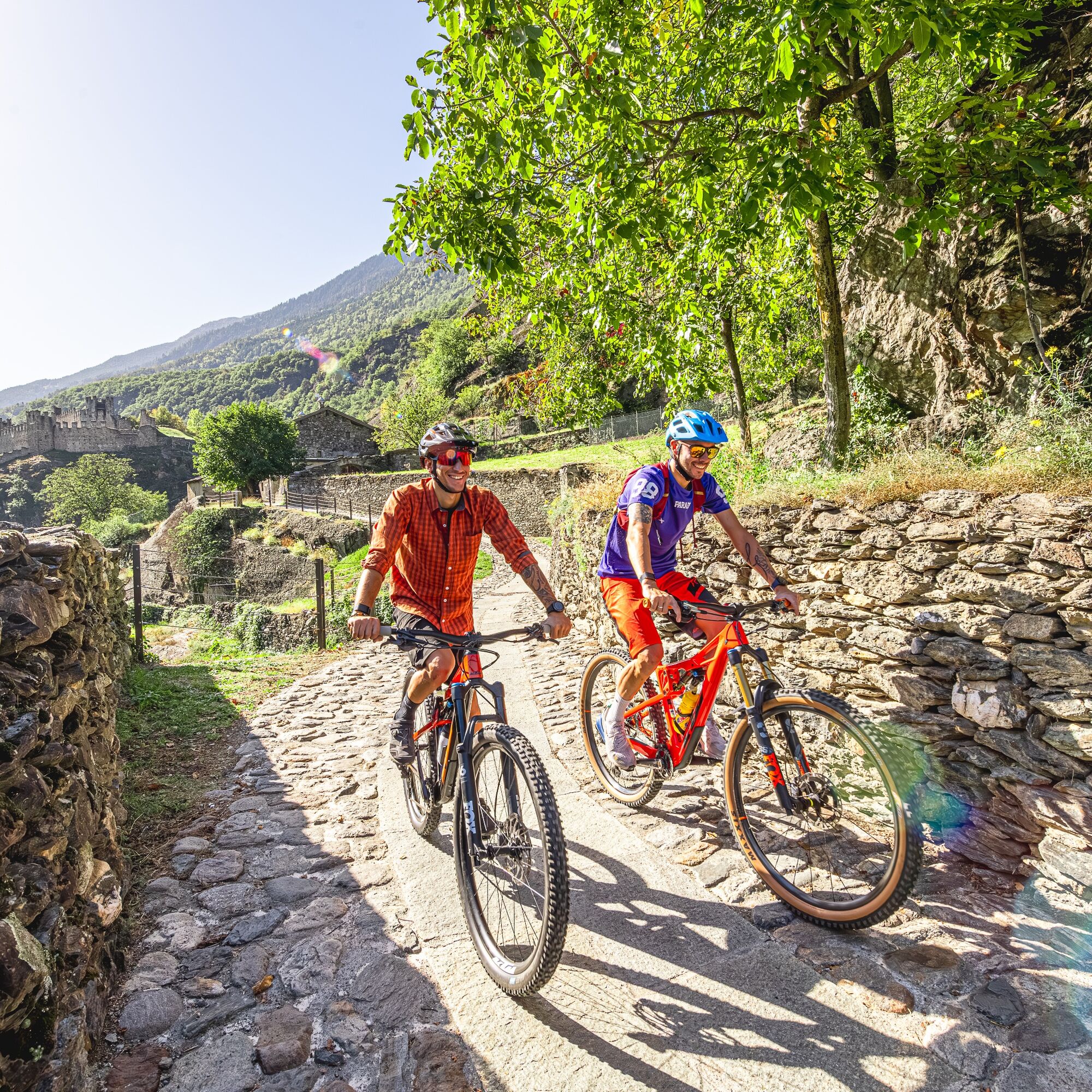
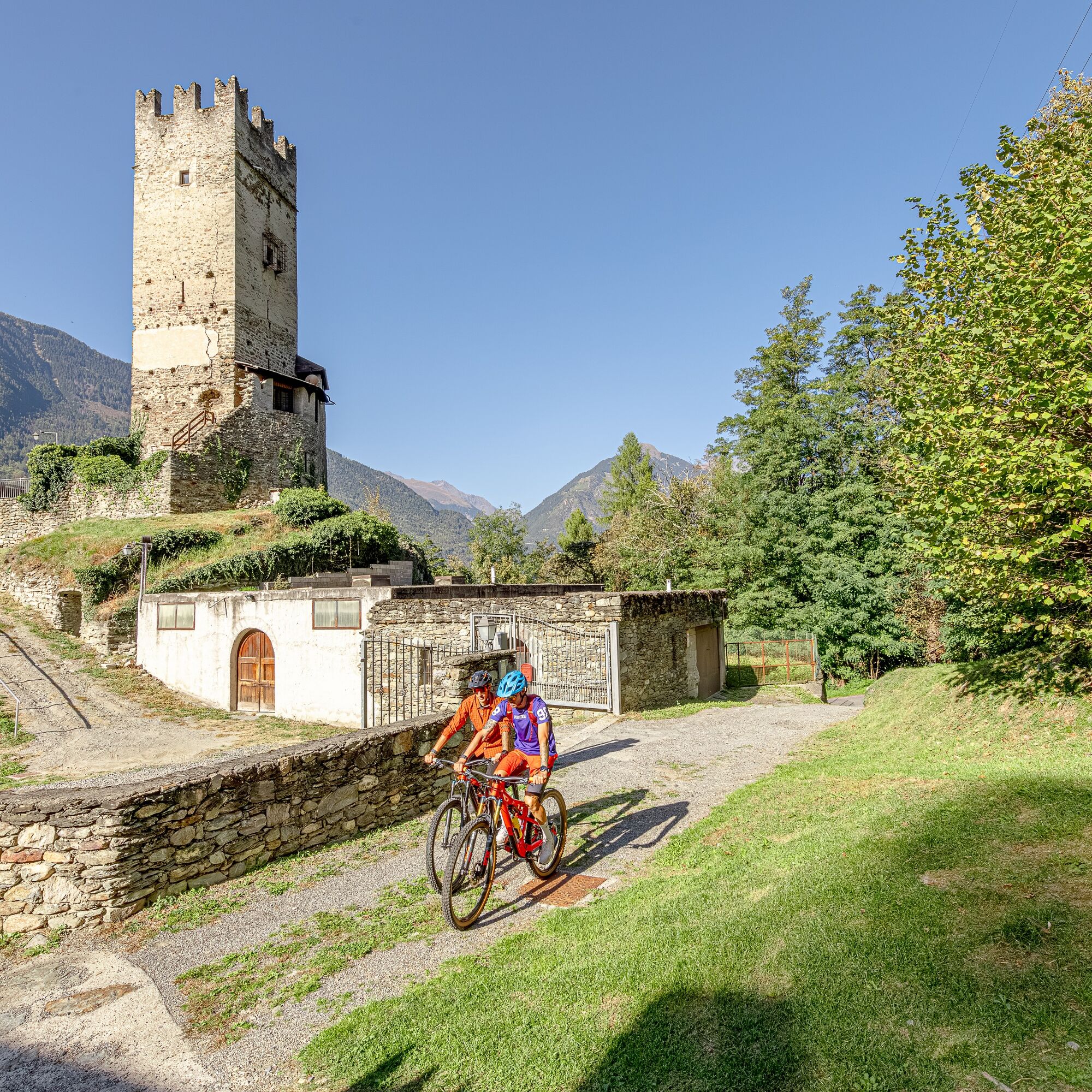
Against a varied landscape backdrop of streams and deciduous forests, the route passes through cultivated fields, apple orchards and vineyards, chestnut groves and ancient terracing. But it is the castles, towers and churches along the way that give this route its distinctive character. Starting from the Tirano Bus Station, you first climb gently along the valley floor bike path, with gradients that become more challenging near the Vione tower (short S3 uphill section).
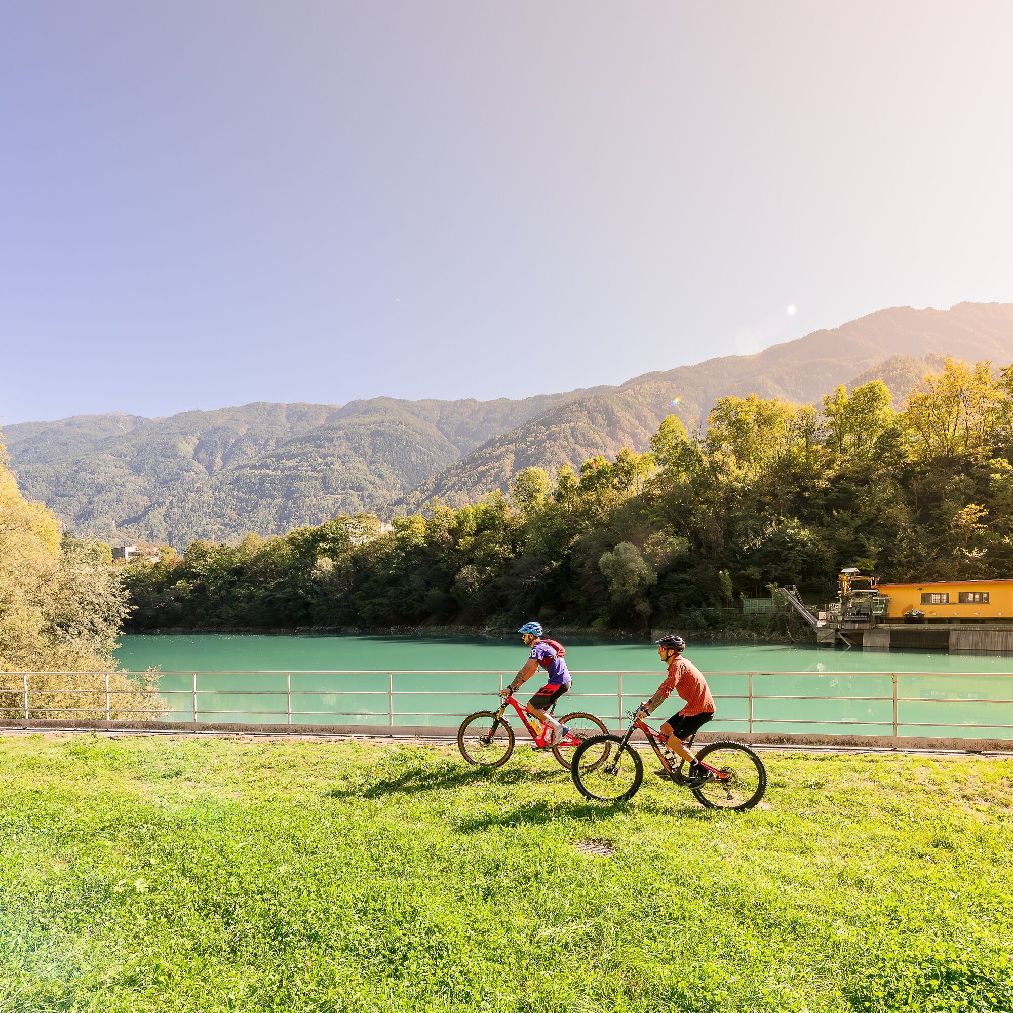
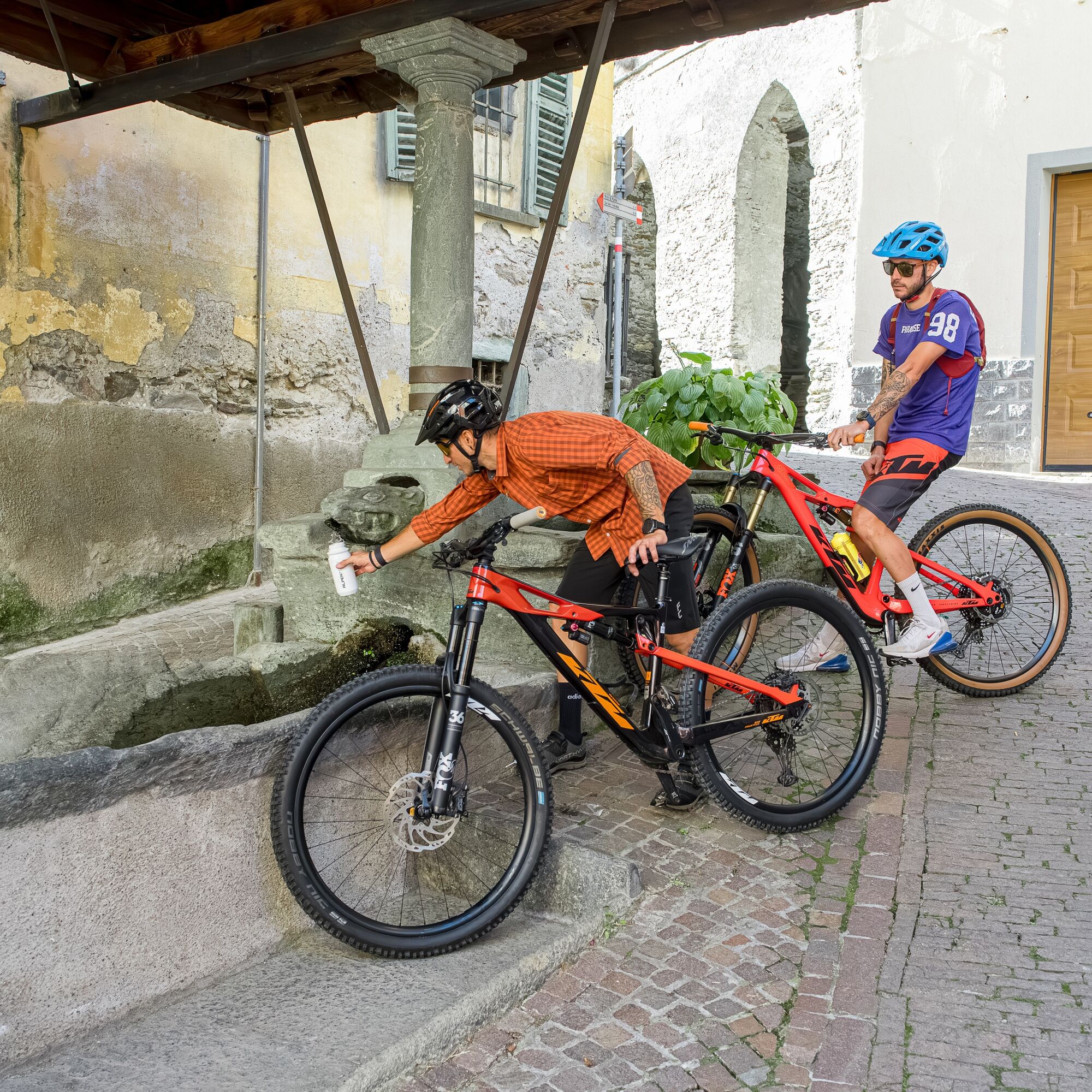
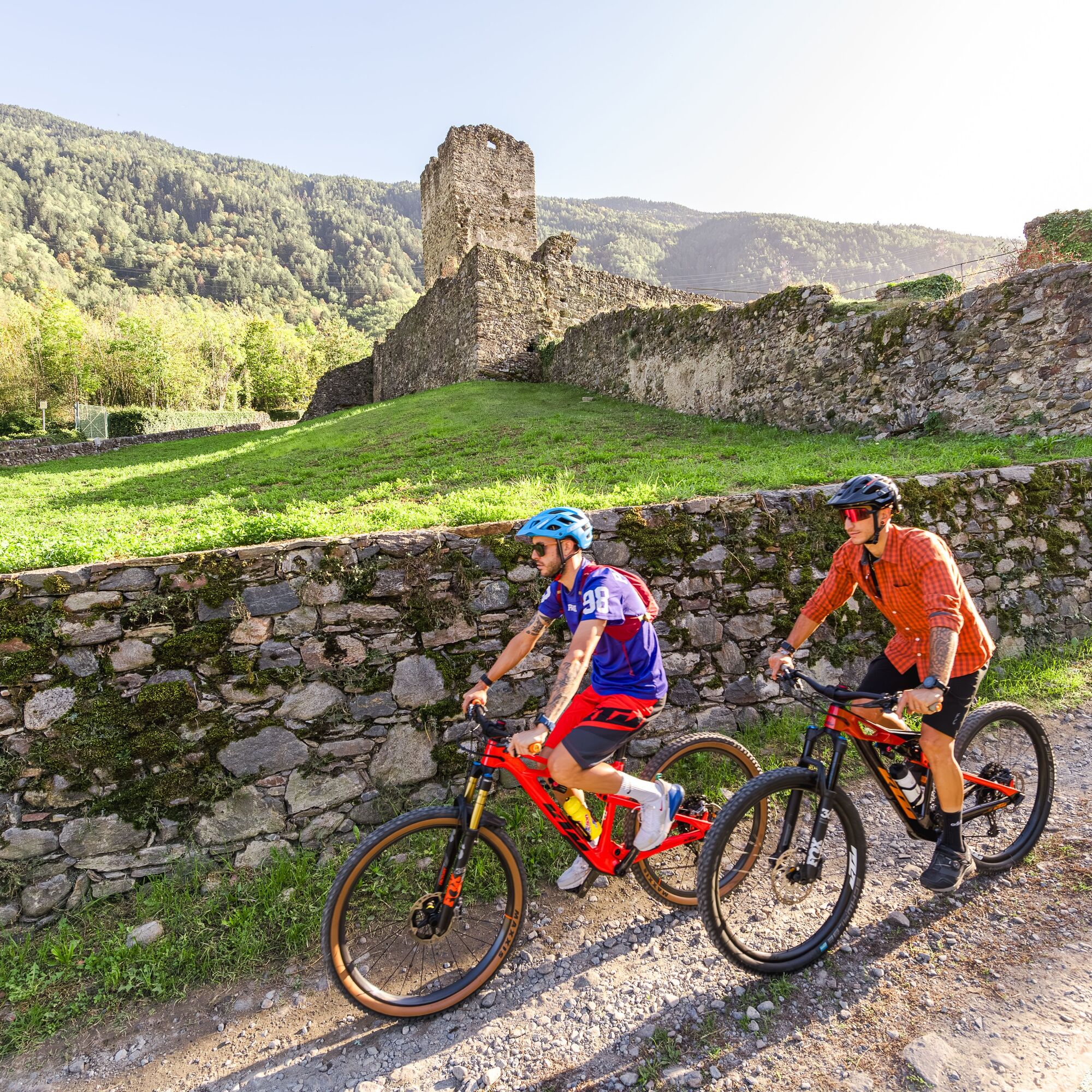
Between dirt roads and fast single-track, you continue to Grosio, where the Visconti Castle, the Park of Rock Carvings and the Castle of San Faustino offer excellent cues for a refreshing break. Moreover, there is no shortage of refreshments along the route, for those who want to explore the area also from a culinary point of view. Once you reach the turnaround, you take to the left bank of the Adda River to tackle up and down sections on fun trails to the Pedenale tower and Bellaguarda Castle. You then continue downhill, encountering a short technical section (S3) that is easily solved with bike at your side.
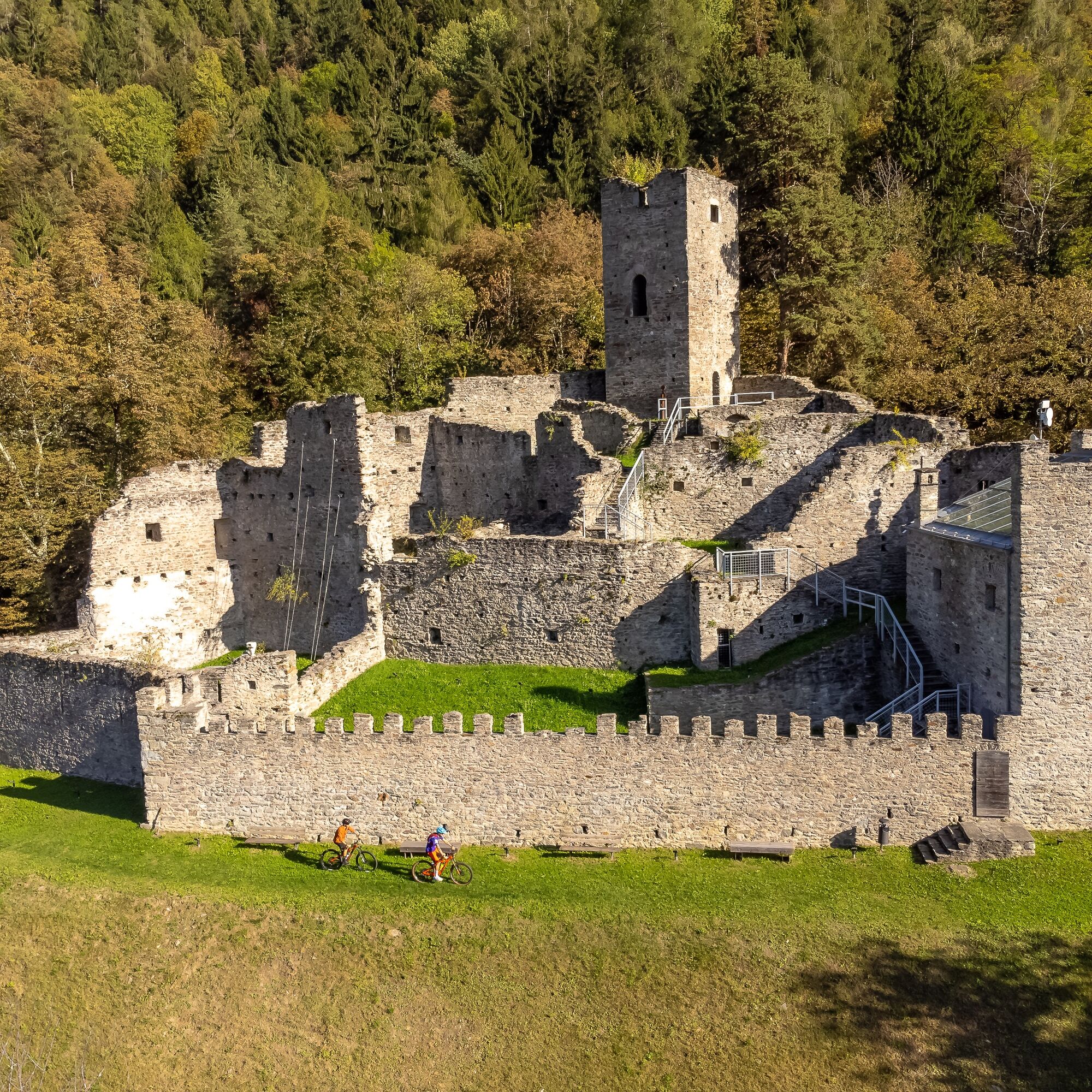
You then climb toward the tower of Sernio and, after a long traverse in the woods, you reach the rewarding final descent (S3) that takes you back to Tirano passing by the Castle of Santa Maria, known as Castellaccio. Thanks to the favorable exposure and the moderate altitudes reached (max 720 m), the Trail is suitable for all seasons, with the possible exception of the colder months and the middle hours of hot summer days.The trail is fully supported by vertical signage (red arrows), information boards and horizontal markings with red-and-white trail marker flags, and requires adequate technical guiding skills (average difficulty S1).
Clockwise riding is recommended.

Clockwise travel is recommended.
Via Calcanio Tirano
S1
Populaire rondleidingen in de buurt
Adamello - Val Grande - Biwak
mediumE-MTB22,8 km- 5,0
32.05 Poschiavo - Tirano, Trans Altarezia Bike
mediumMountainbike29,1 km Bergwanderung zum «See des Verrückten» - Kurz Version
Wandelen11,4 kmGiro del Lago - Le prese - Miralago
lichtWandelen7,43 km- 4,0
Giro del Lago
lichtWandelen7,28 km 33.10 Le Prese - Tirano, Via Albula / Bernina
mediumWandelen14,6 kmBotanischer Wanderweg Sassalbo
Wandelen2,42 kmMiralago - Tirano Durch via Valposchiavo talauswärts nach Italien
Wandelen11,7 kmValgrosina Trail 70k
zwaarTrailrunning71,3 kmMarian Way of the Alps Eastern Route - Grosotto Tirano Stage
mediumPelgrimspad17,8 km
Wandelen en spoorzoeken


Mis geen aanbiedingen en inspiratie voor je volgende vakantie
Uw e-mailadres is toegevoegd aan de mailinglijst.