


Hainburg


Foto's van onze gebruikers

 © Peter HörlerGemaakt op 19.10.2025
 © Peter HörlerGemaakt op 19.10.2025
 © Thomas Bader 1Gemaakt op 19.10.2025
 © Monika WachterGemaakt op 07.09.2025
 © Monika WachterGemaakt op 07.09.2025
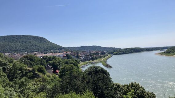
 © Christian KakuskaGemaakt op 14.06.2025
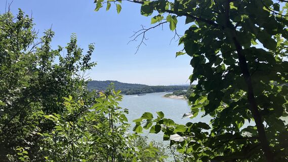 © Christian KakuskaGemaakt op 14.06.2025
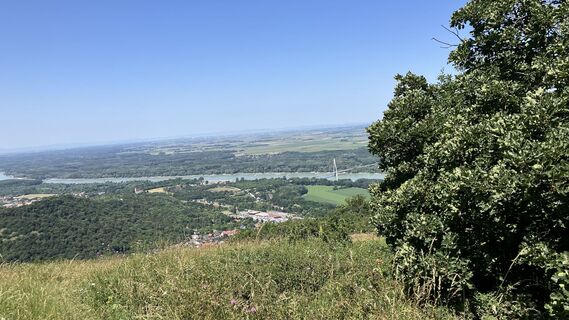 © Christian KakuskaGemaakt op 14.06.2025
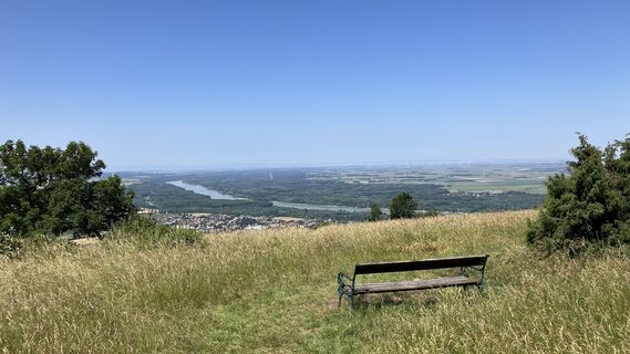 © Christian KakuskaGemaakt op 14.06.2025
 © Christian KakuskaGemaakt op 14.06.2025
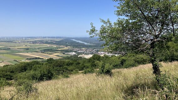 © Christian KakuskaGemaakt op 14.06.2025
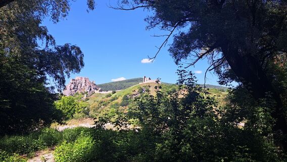 © hoefinjGemaakt op 11.05.2025
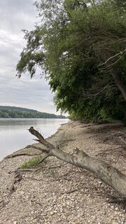 © Wolfgang EbenhoferGemaakt op 07.05.2025
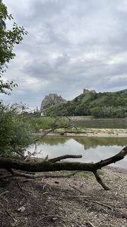 © Wolfgang EbenhoferGemaakt op 07.05.2025
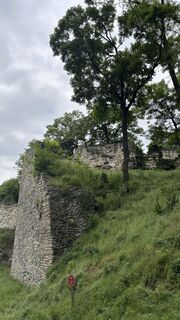 © Wolfgang EbenhoferGemaakt op 07.05.2025
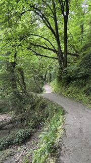 © Wolfgang EbenhoferGemaakt op 07.05.2025
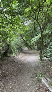 © Wolfgang EbenhoferGemaakt op 07.05.2025
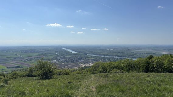 © Wolfgang EbenhoferGemaakt op 28.04.2025
 © Wolfgang EbenhoferGemaakt op 27.04.2025
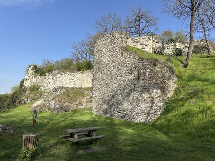 © Robert ResslerGemaakt op 05.04.2025
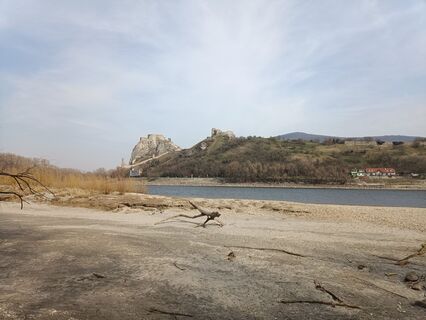 © AgnietGemaakt op 09.03.2025
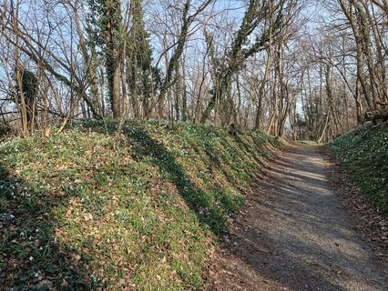 © AgnietGemaakt op 09.03.2025
 © Regina FleischmannGemaakt op 04.03.2025
 © Regina FleischmannGemaakt op 04.03.2025
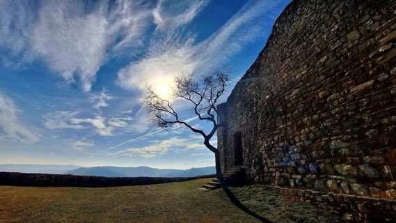 © Regina FleischmannGemaakt op 04.03.2025
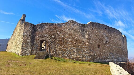 © Regina FleischmannGemaakt op 04.03.2025
 © Regina FleischmannGemaakt op 04.03.2025
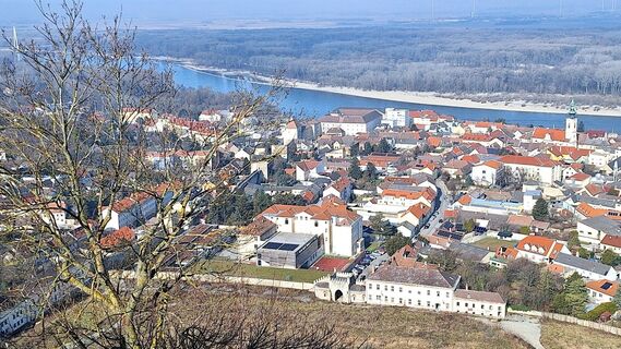 © Regina FleischmannGemaakt op 04.03.2025
 © Regina FleischmannGemaakt op 04.03.2025
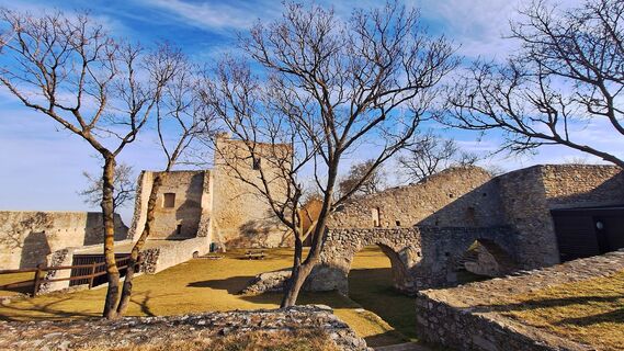 © Regina FleischmannGemaakt op 04.03.2025
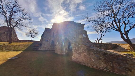 © Regina FleischmannGemaakt op 04.03.2025
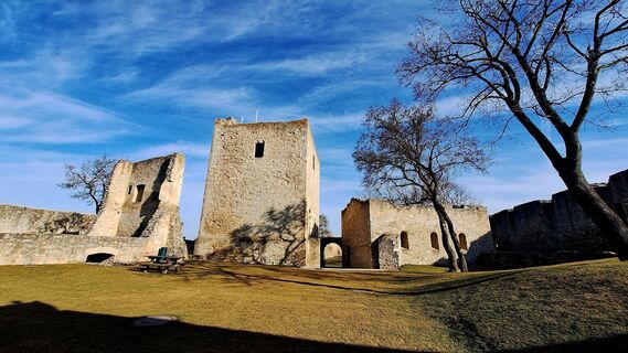 © Regina FleischmannGemaakt op 04.03.2025
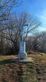 © Regina FleischmannGemaakt op 04.03.2025
 © Regina FleischmannGemaakt op 04.03.2025
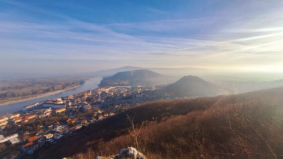 © Regina FleischmannGemaakt op 04.03.2025
 © Regina FleischmannGemaakt op 04.03.2025
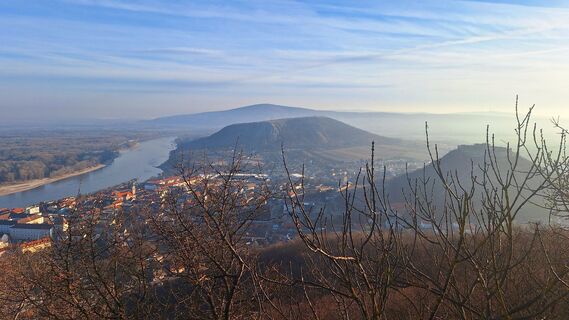 © Regina FleischmannGemaakt op 04.03.2025
 © Regina FleischmannGemaakt op 04.03.2025
 © Regina FleischmannGemaakt op 04.03.2025
 © Regina FleischmannGemaakt op 04.03.2025
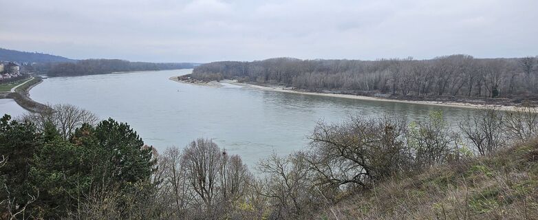
 © TanjasusannaGemaakt op 08.12.2024
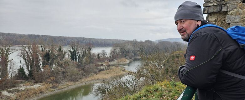 © TanjasusannaGemaakt op 08.12.2024
 © TanjasusannaGemaakt op 08.12.2024
 © TanjasusannaGemaakt op 19.03.2023
 © TanjasusannaGemaakt op 19.03.2023
 © TanjasusannaGemaakt op 19.03.2023
 © Christian Poms 1Gemaakt op 03.02.2024
 © Christian Poms 1Gemaakt op 03.02.2024
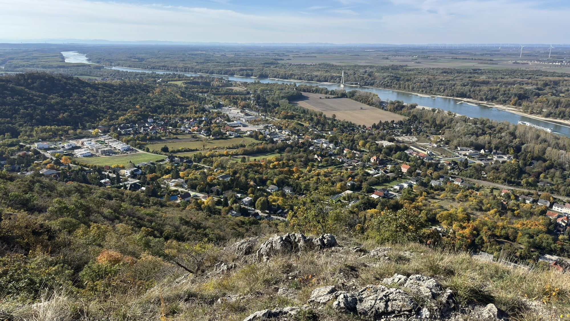
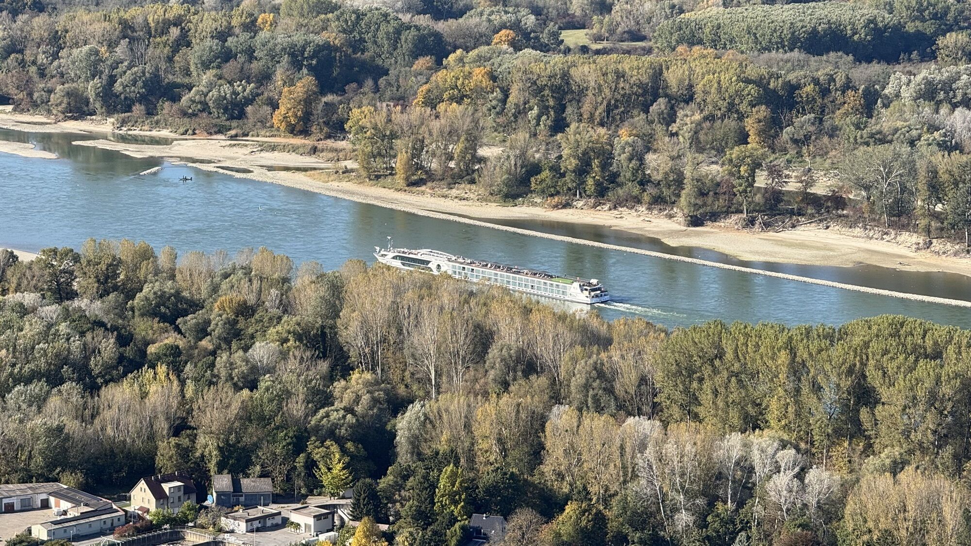
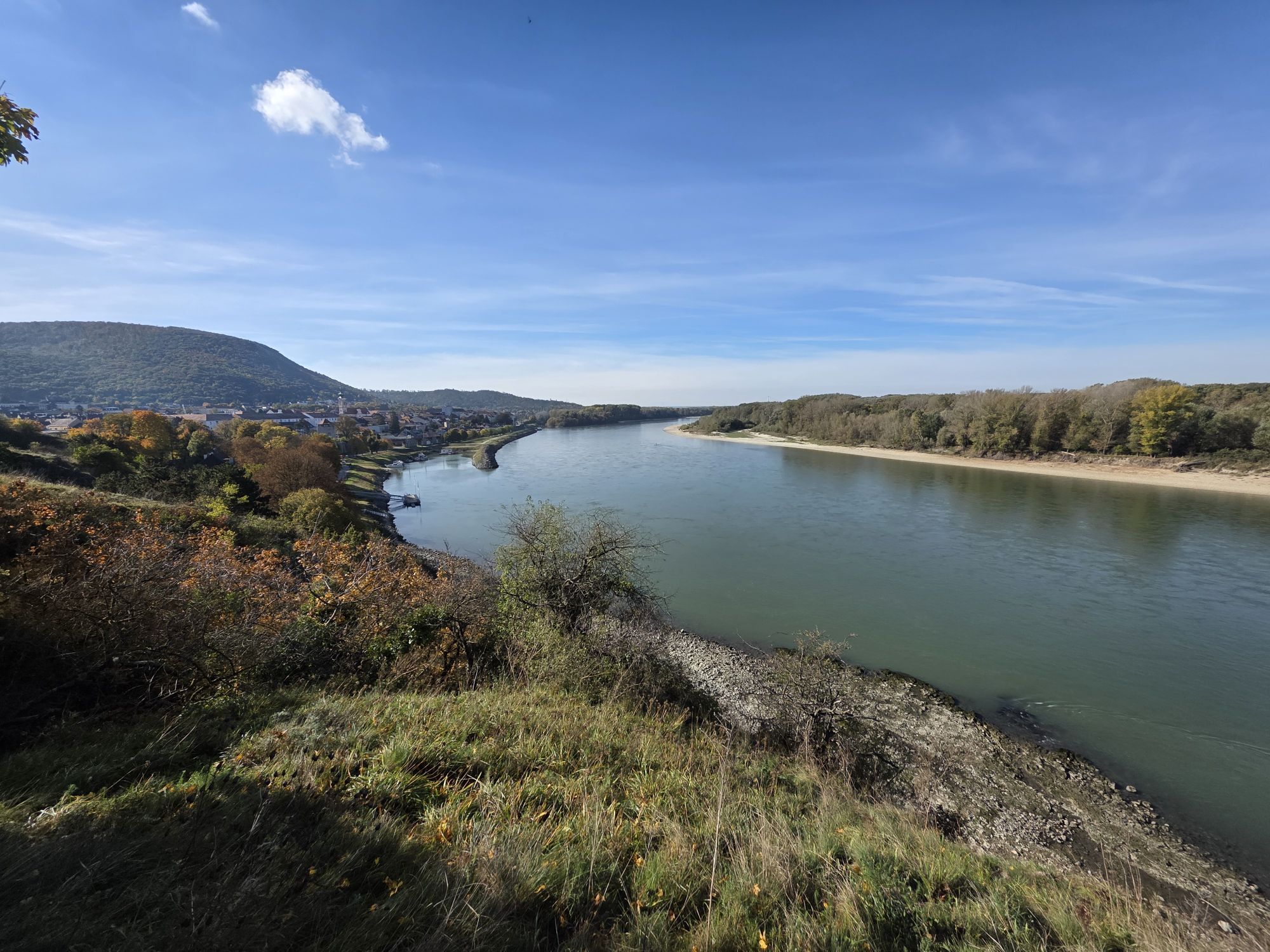

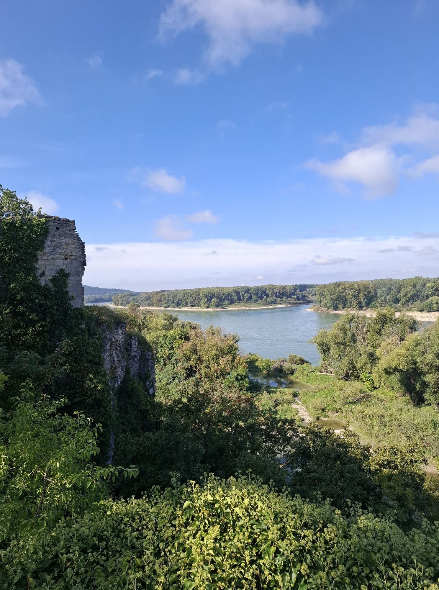
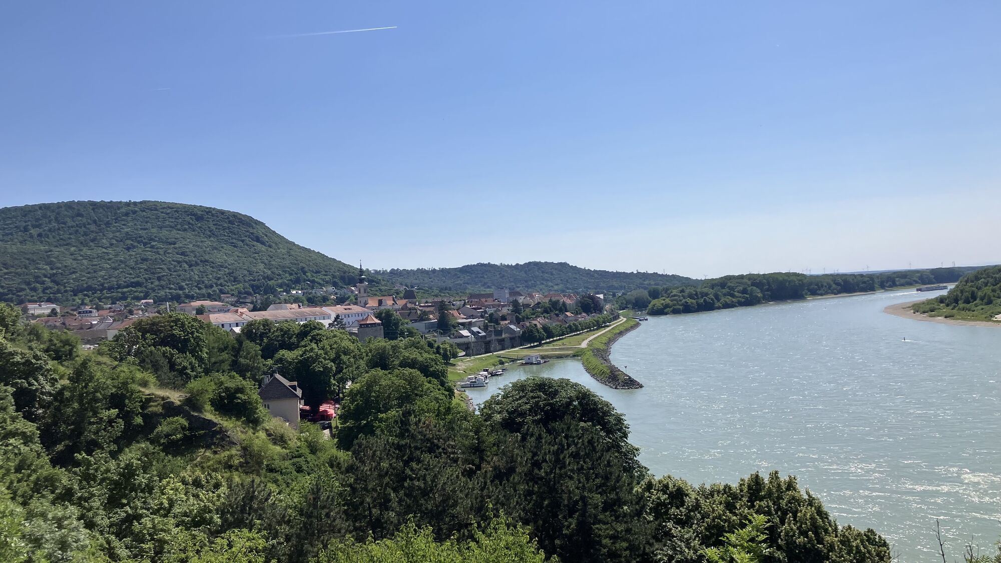

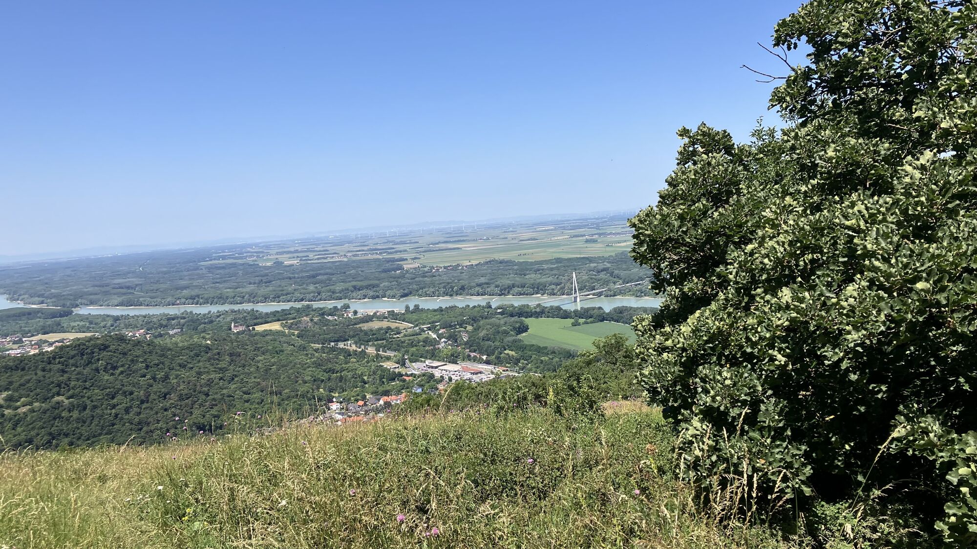
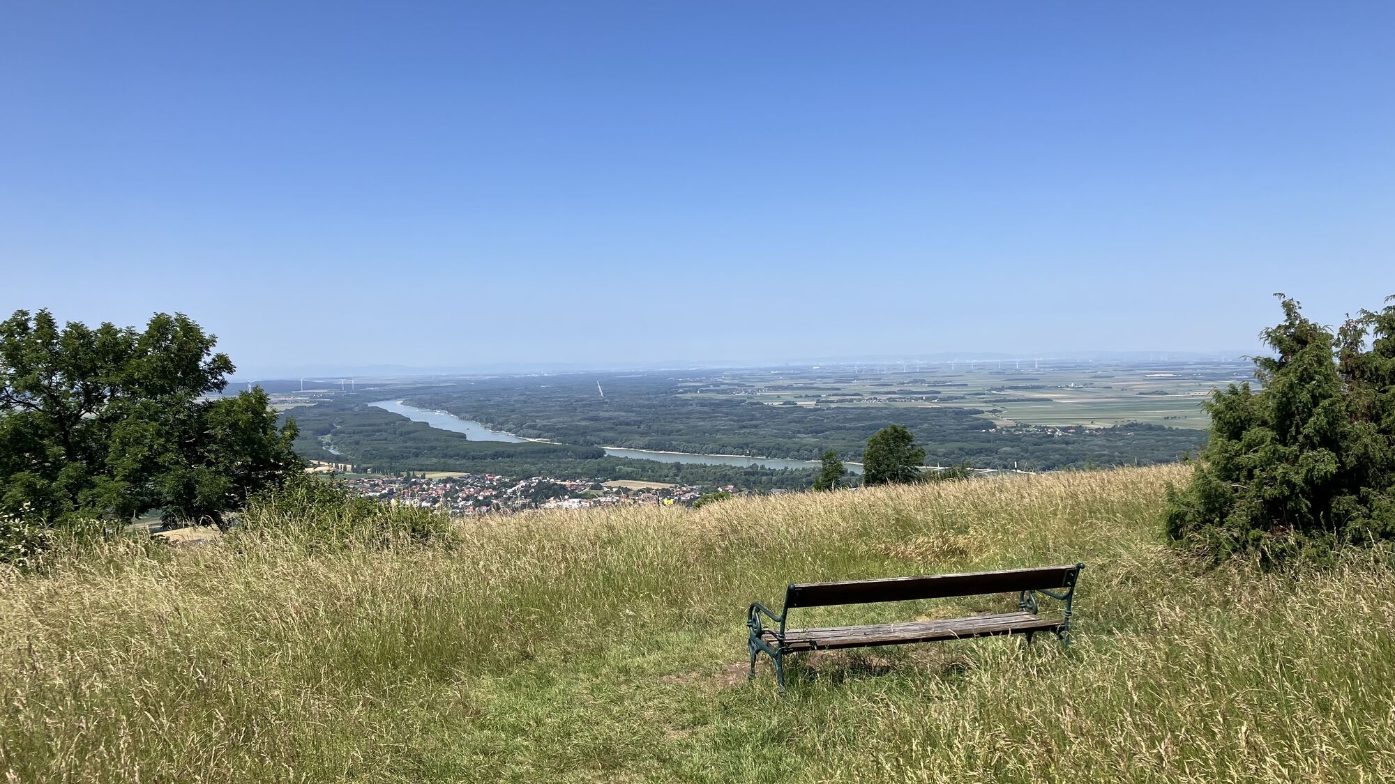
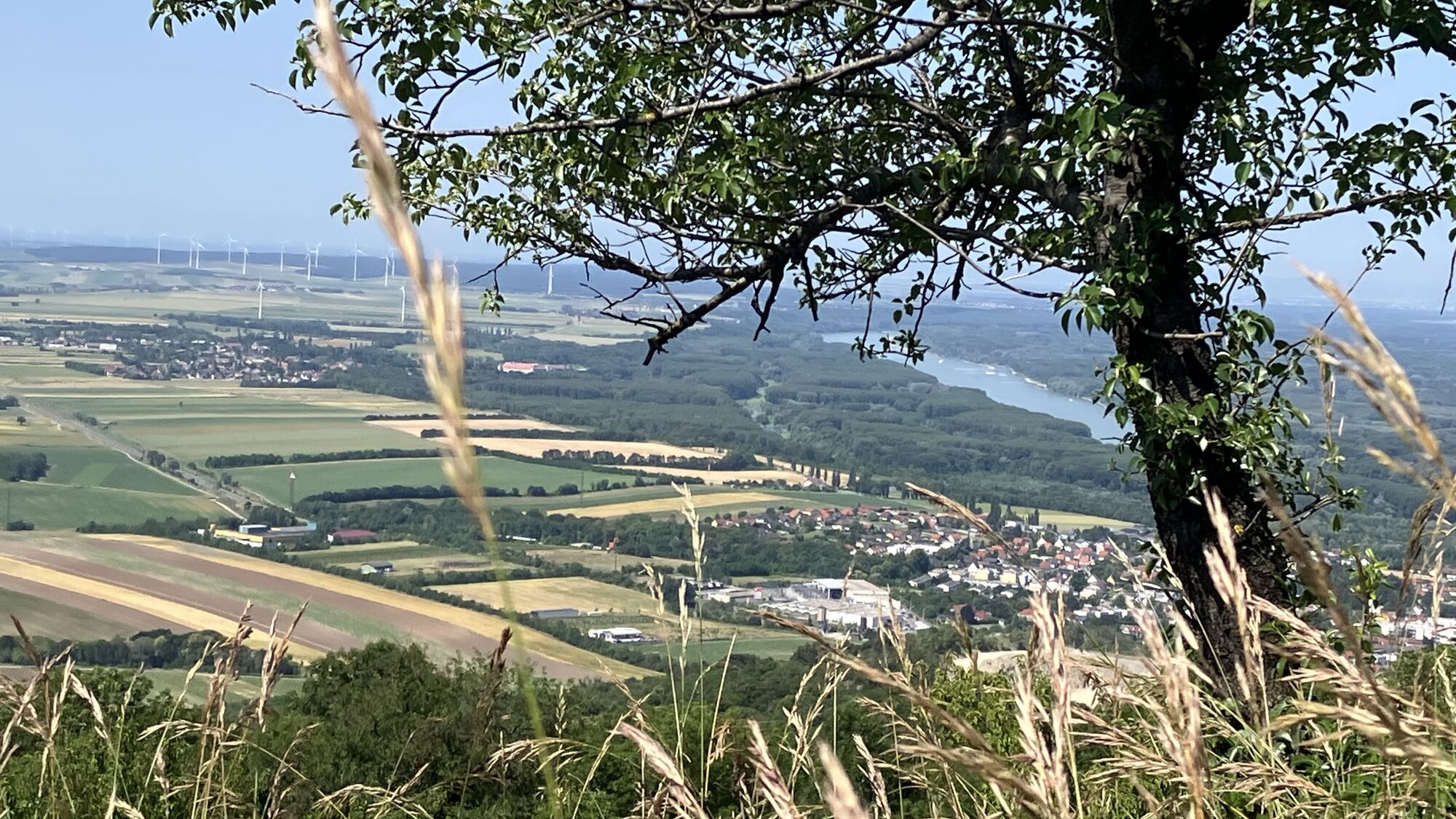

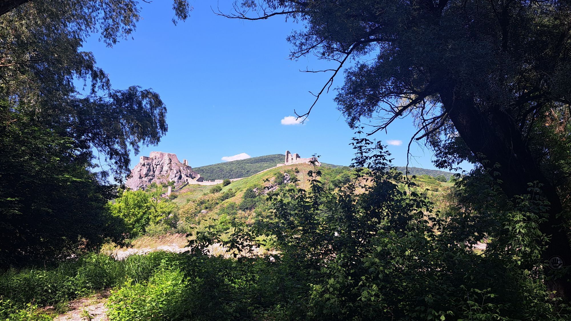
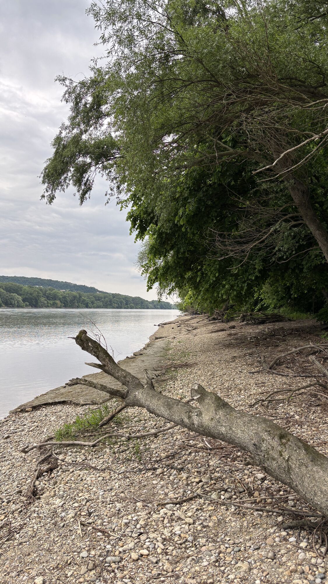
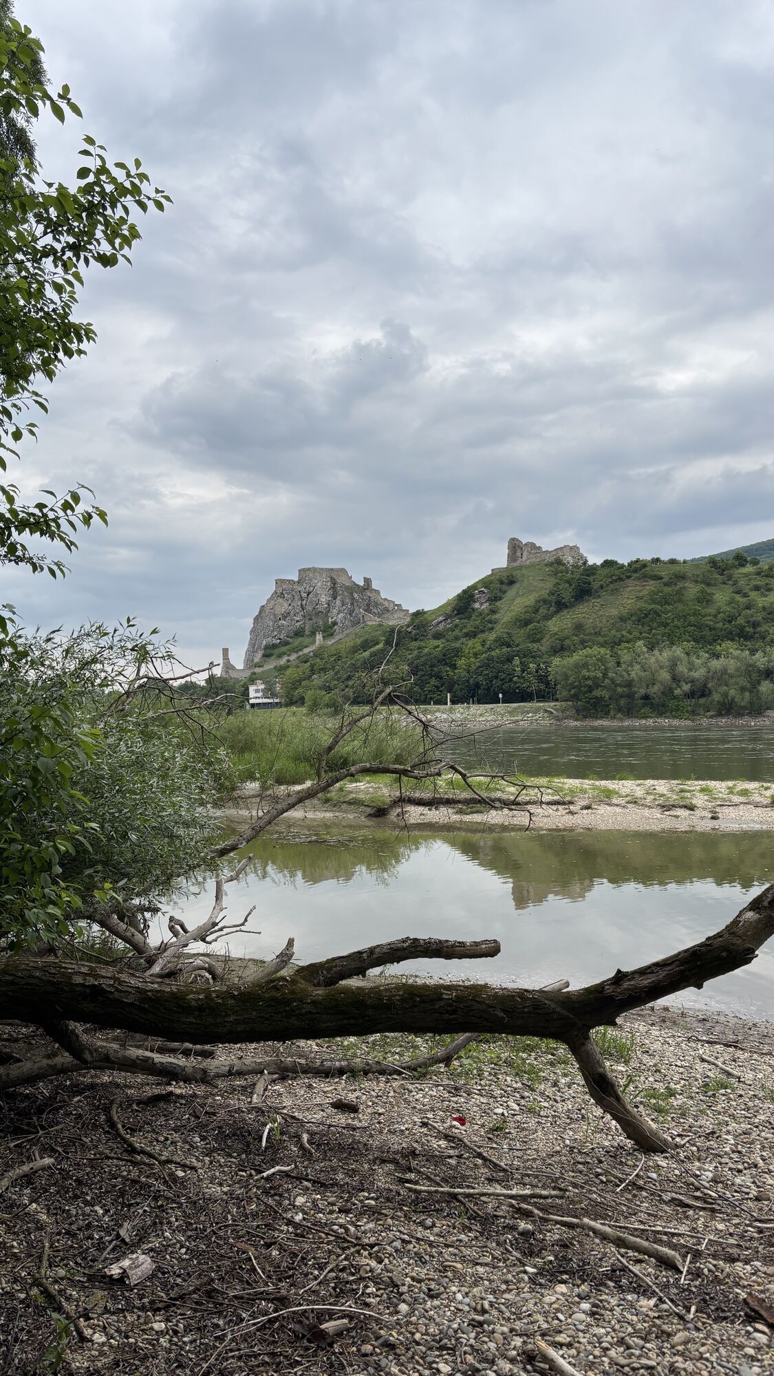


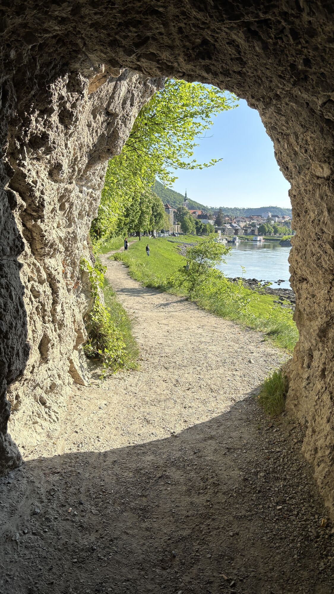

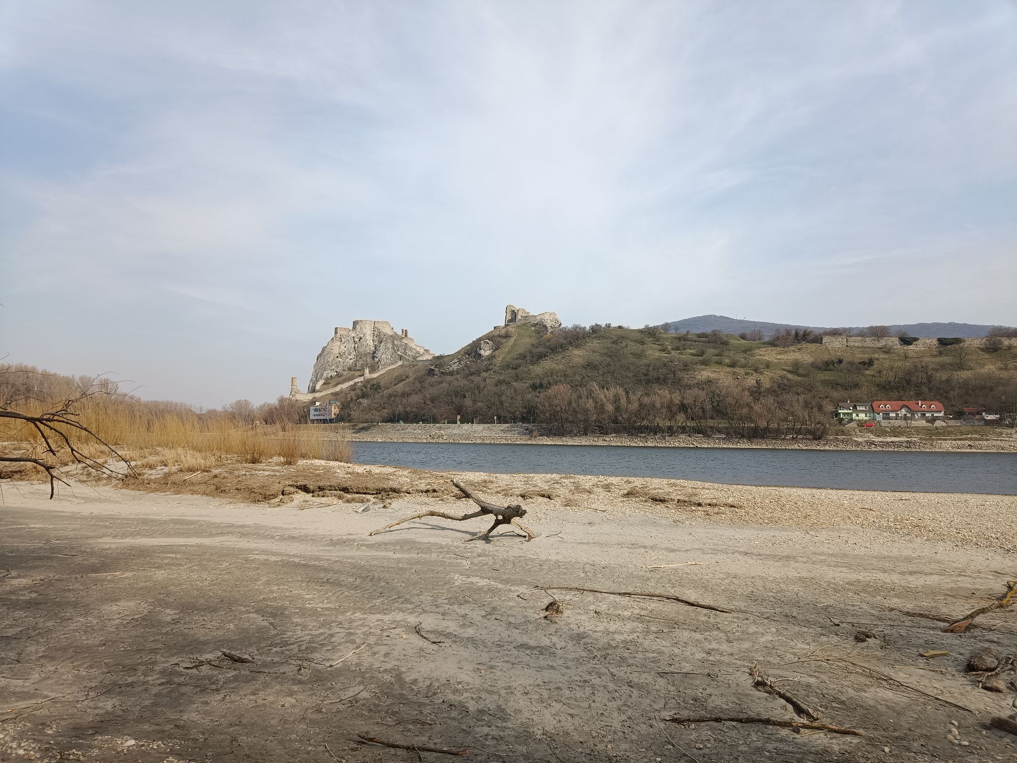
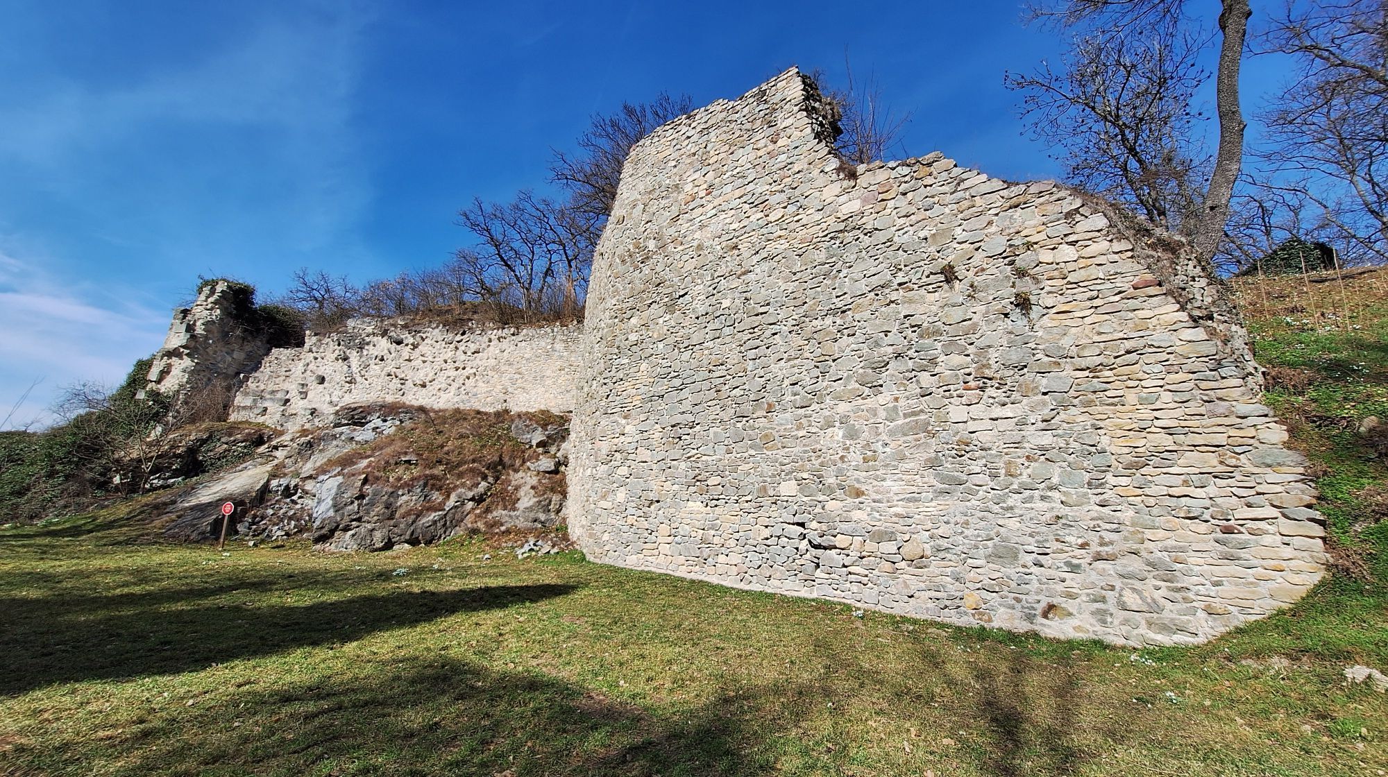
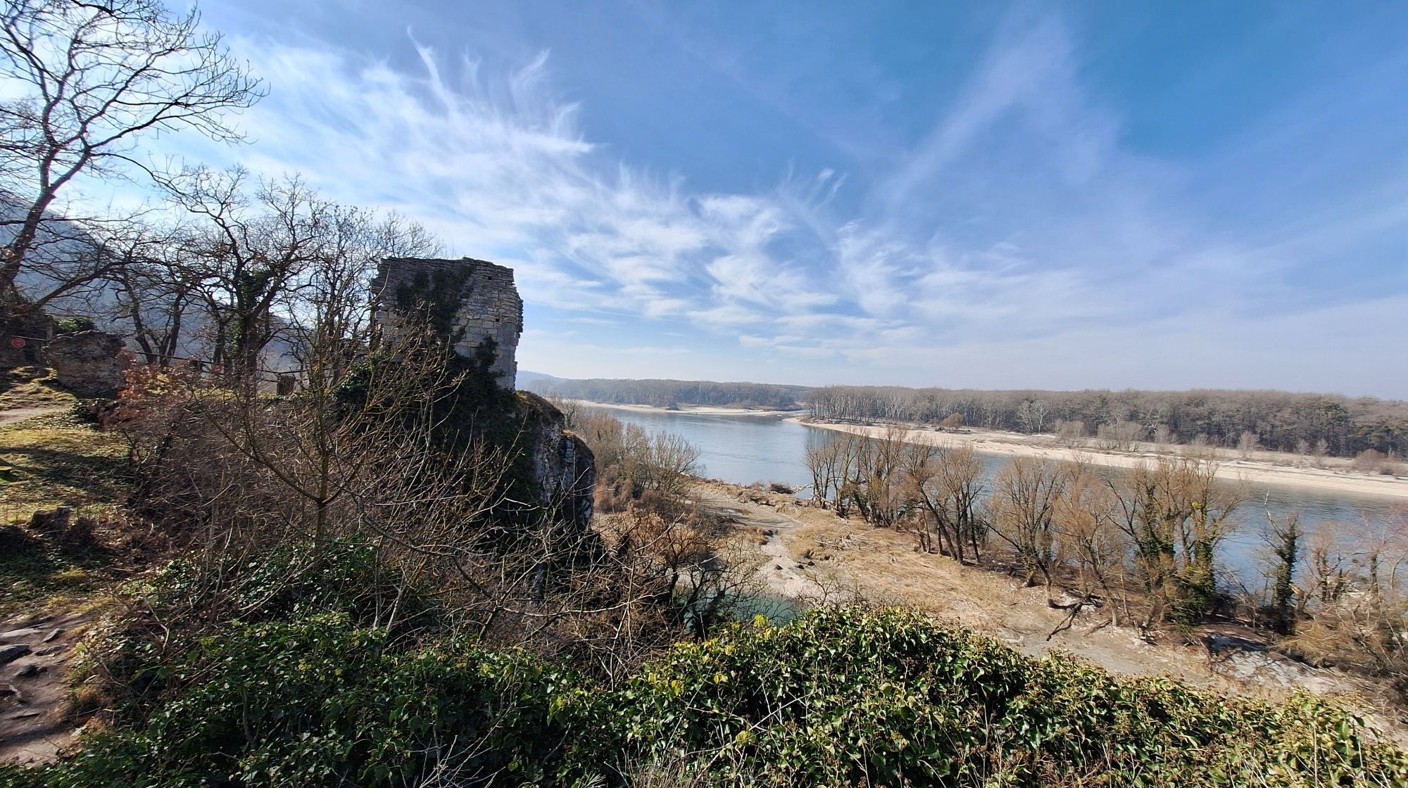


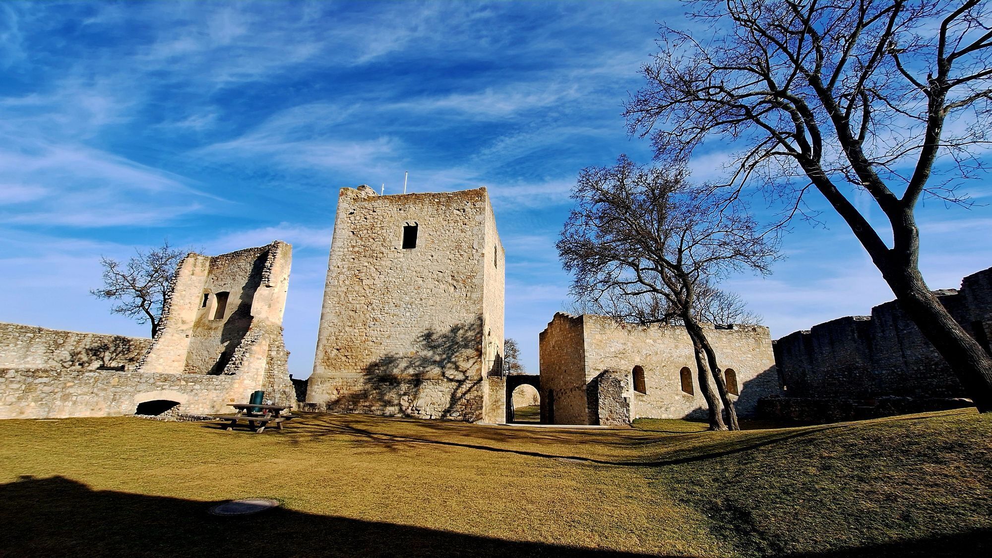


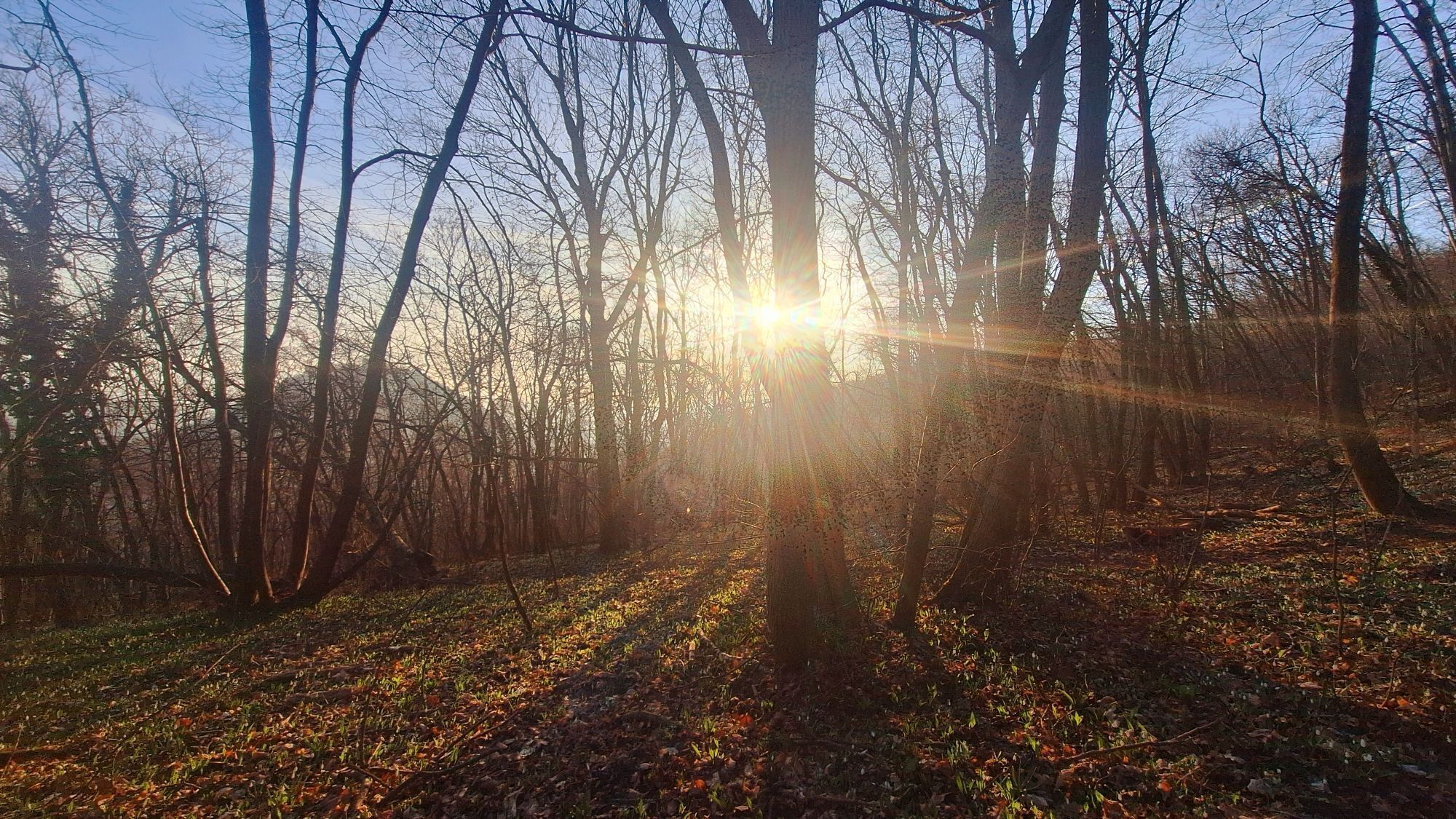
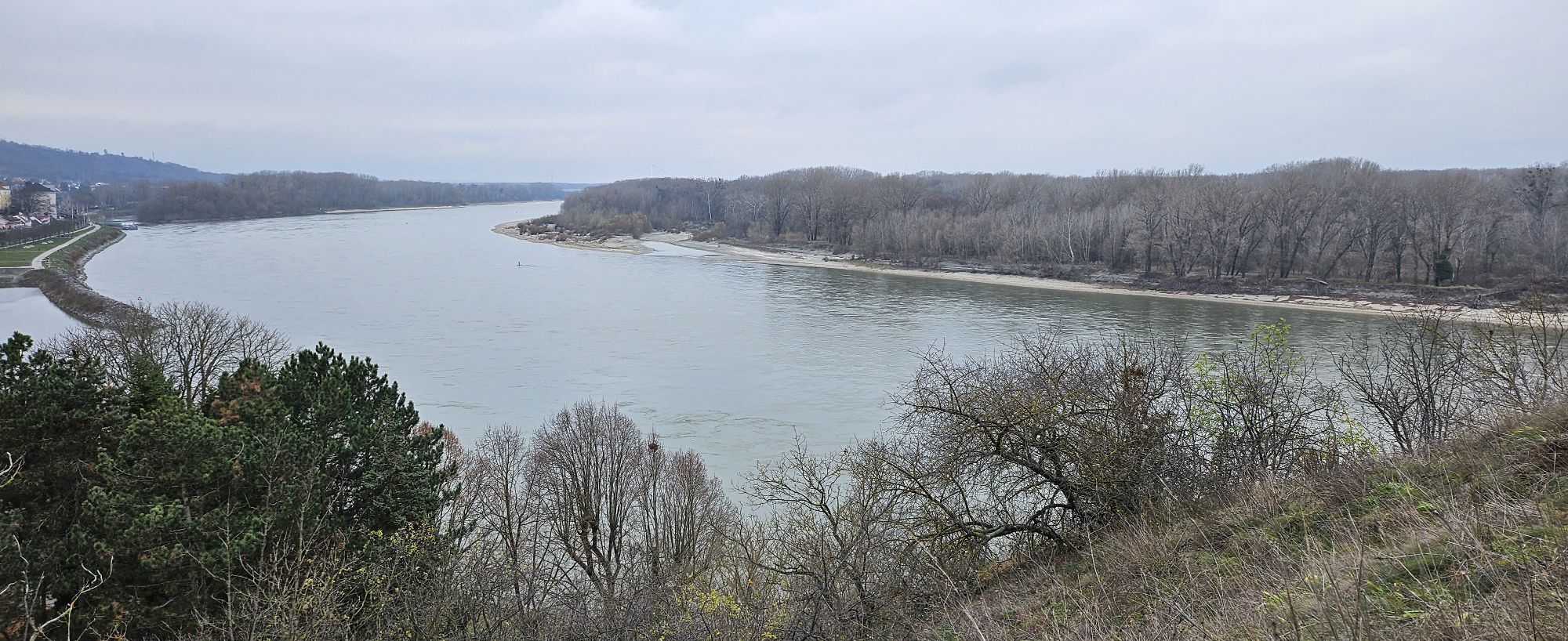

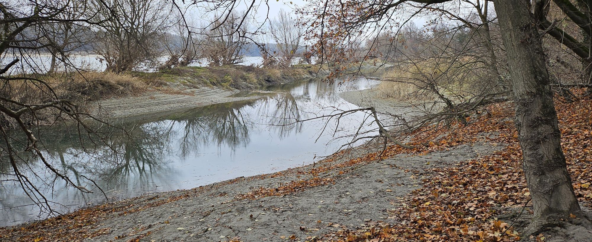

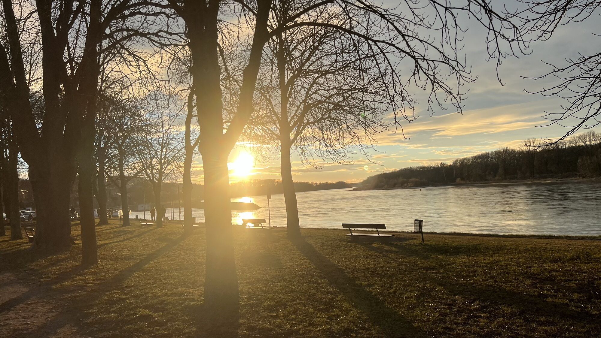
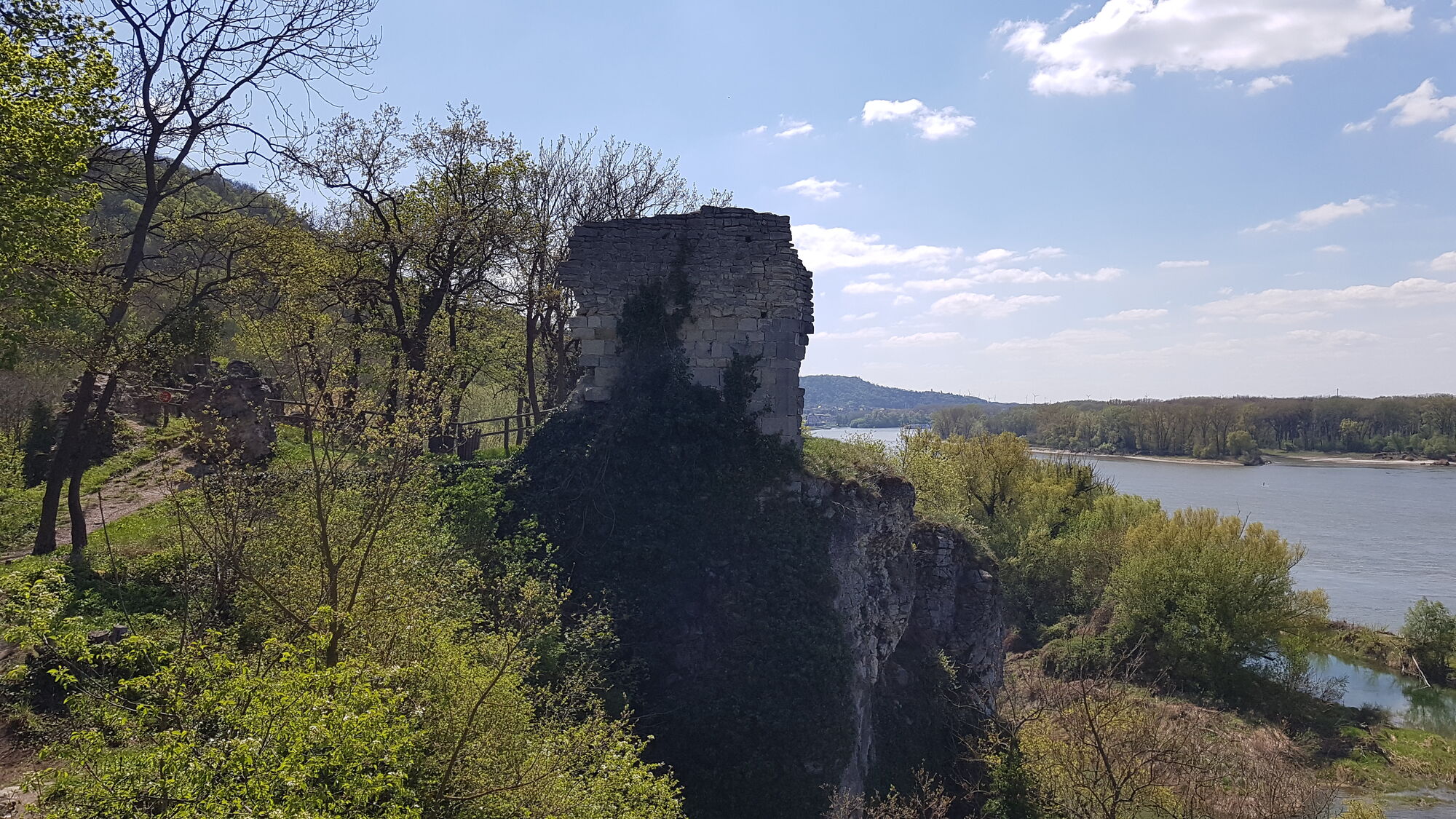
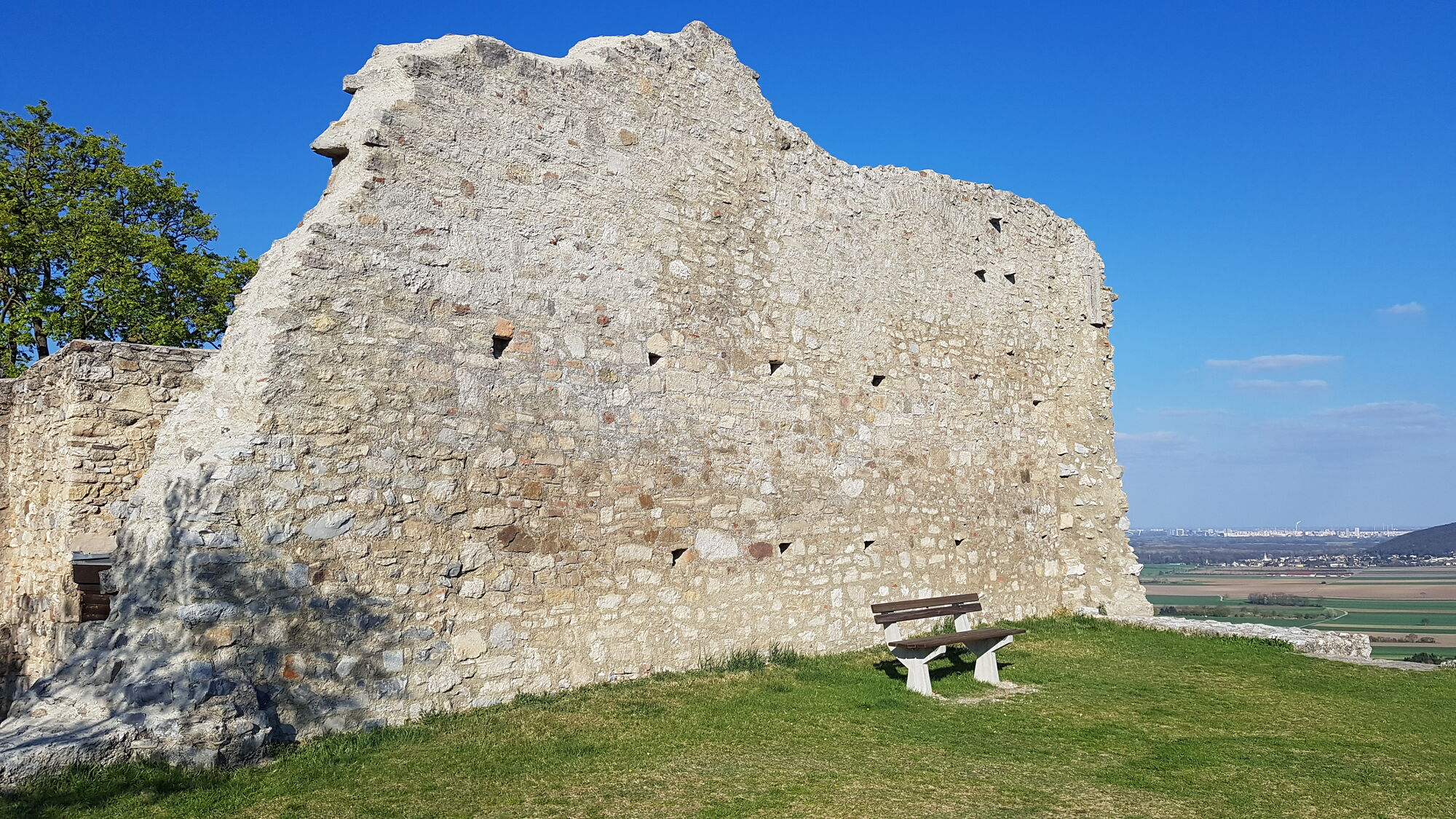
The trail starts either at the train station or at the Danube parking lot in Hainburg. It first leads closely along the Danube to an old castle with a good view of the Au (National Park), then continues...
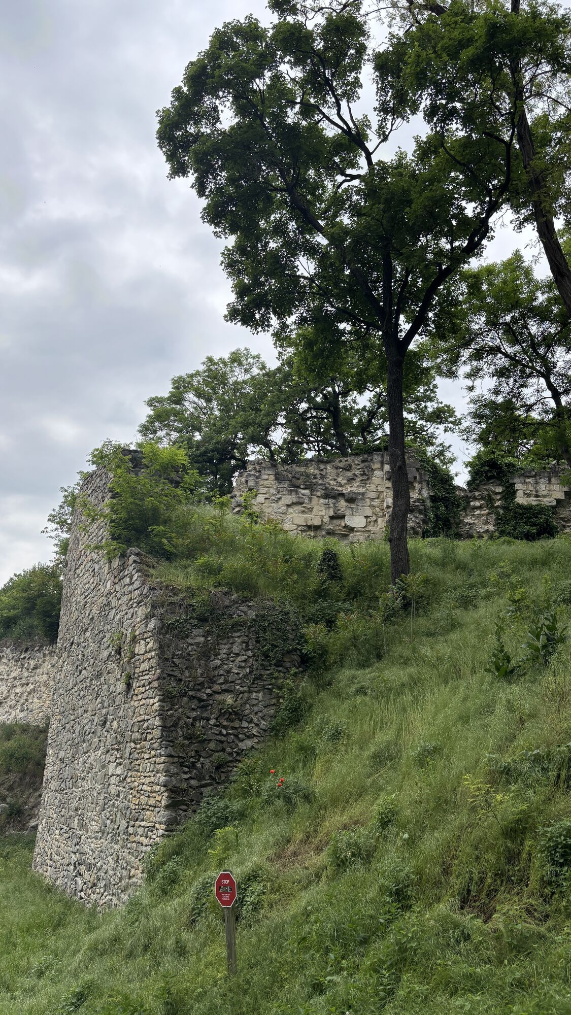
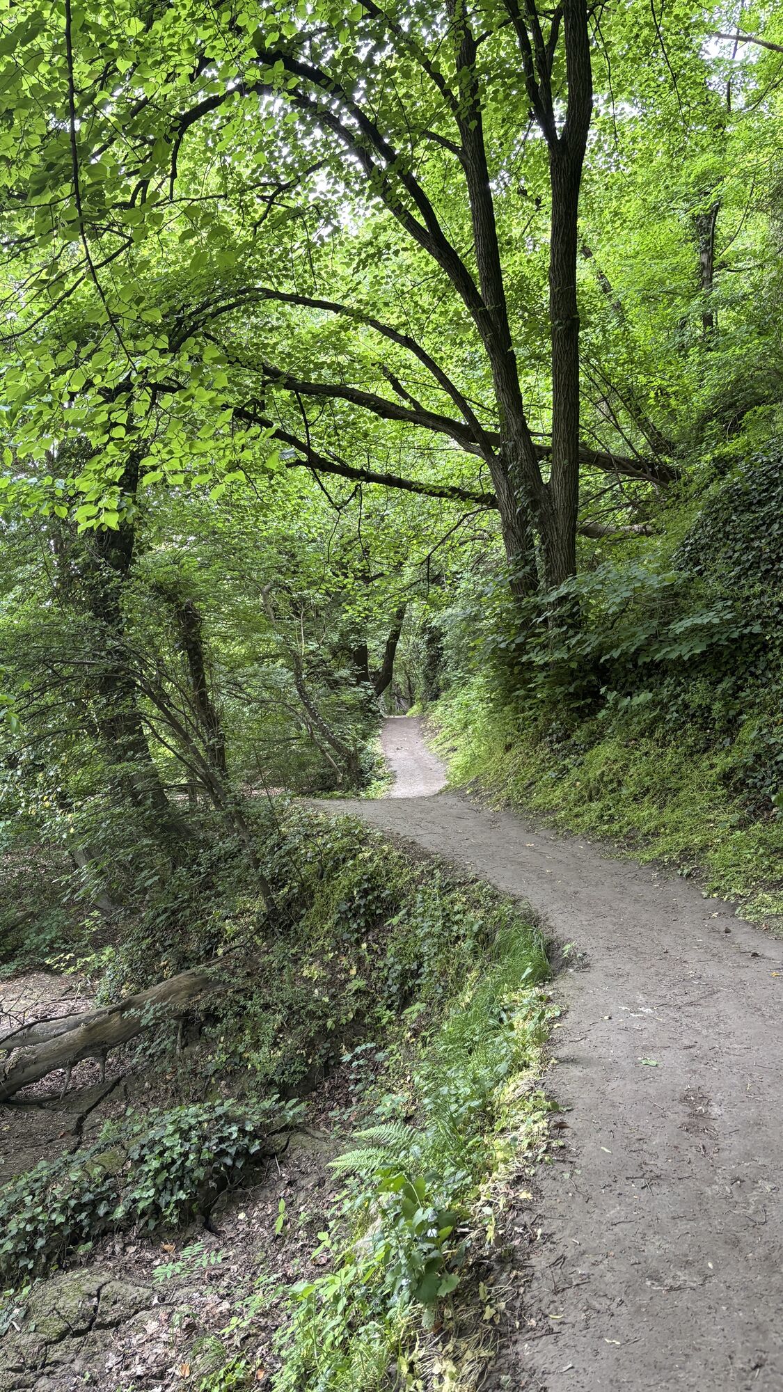
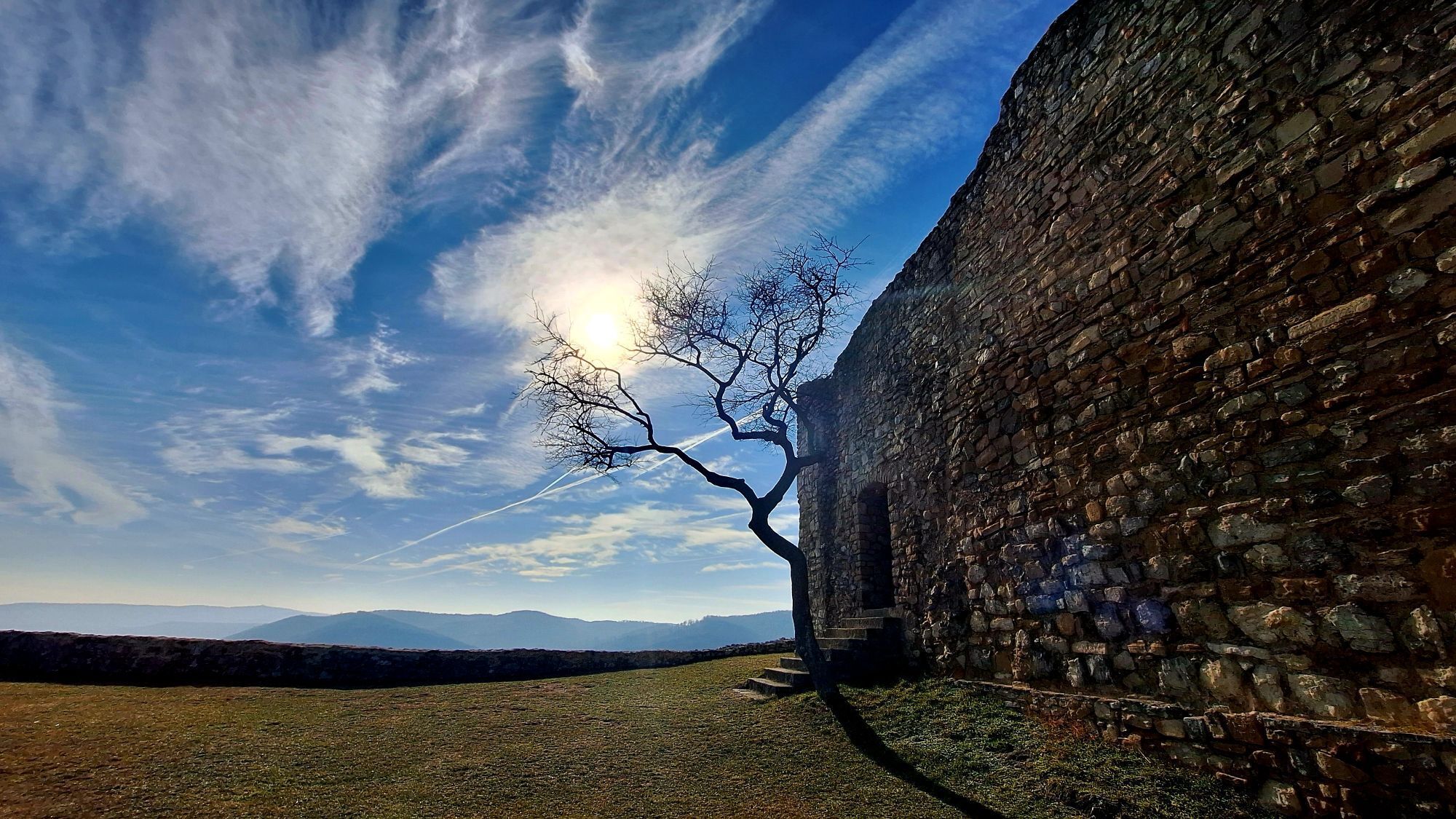
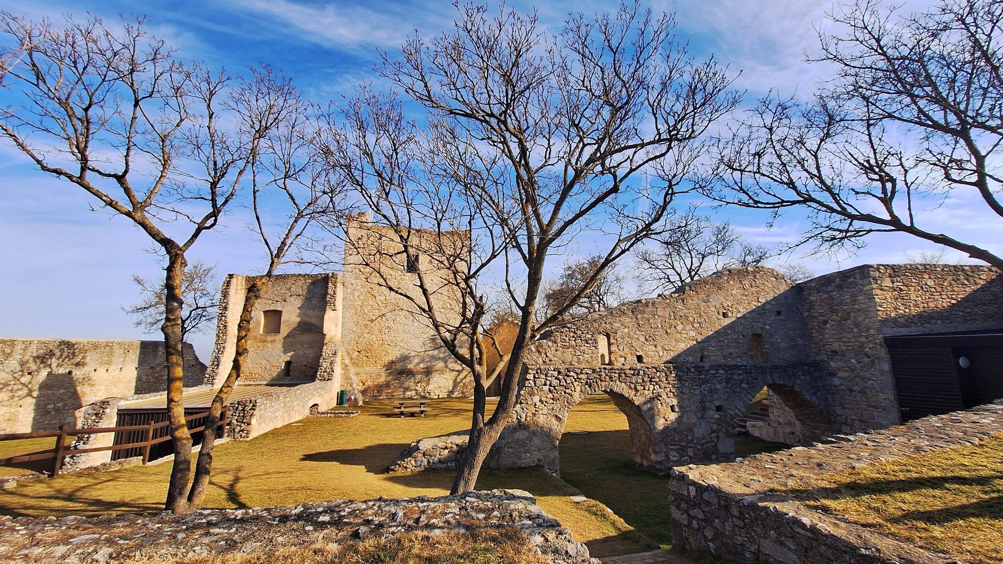
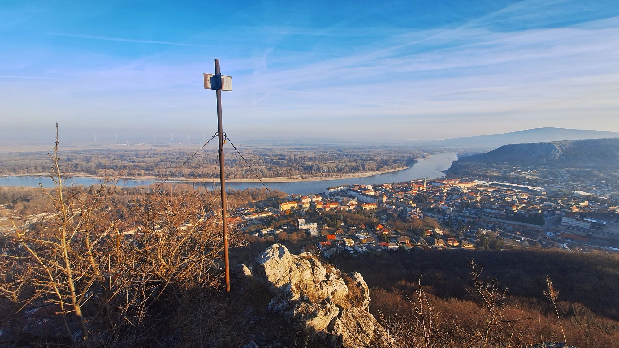
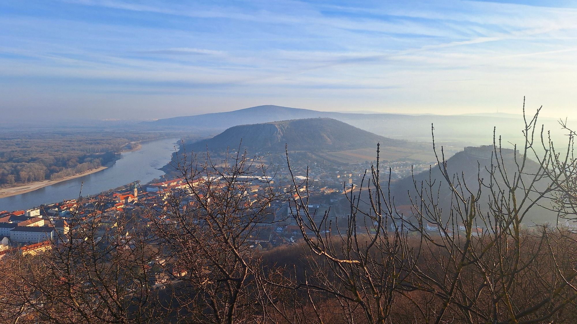
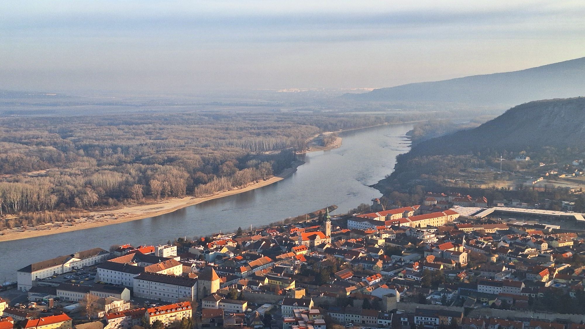
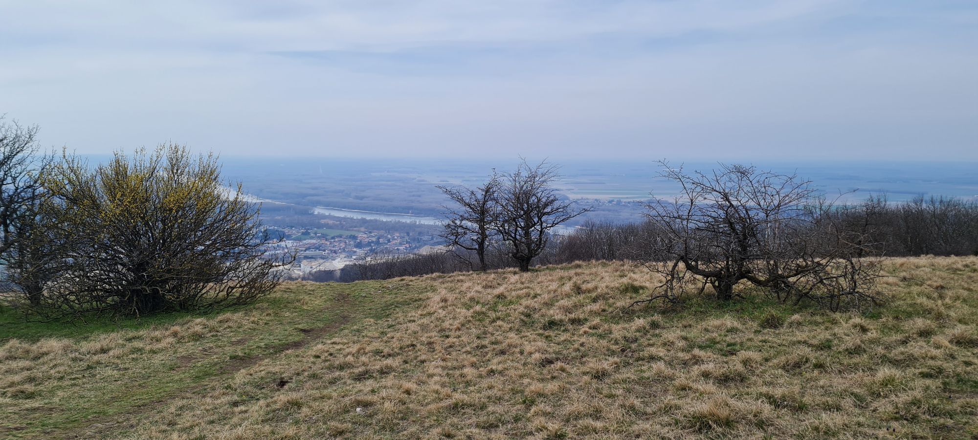
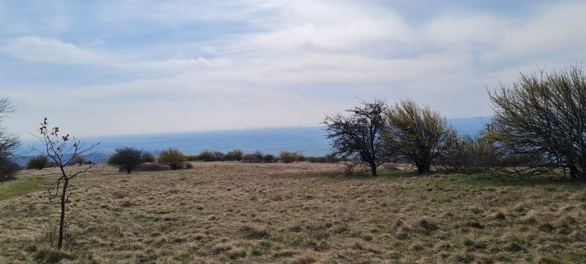
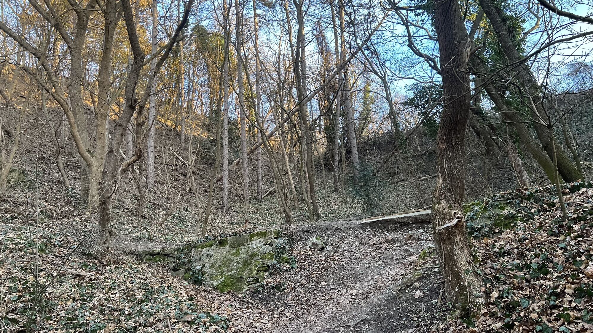
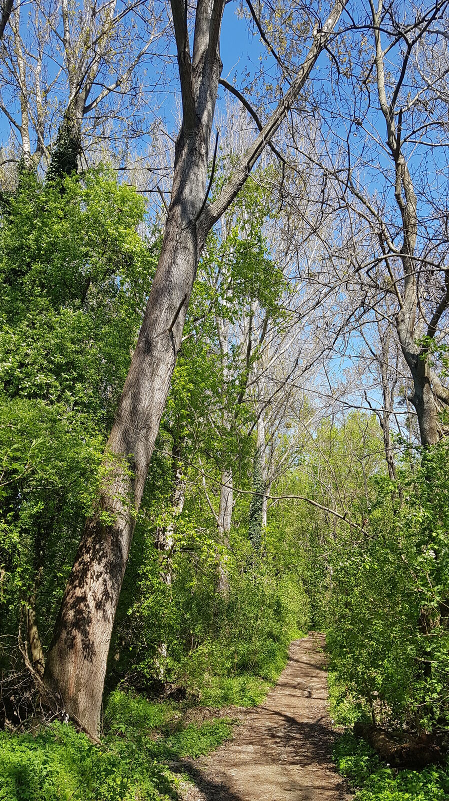
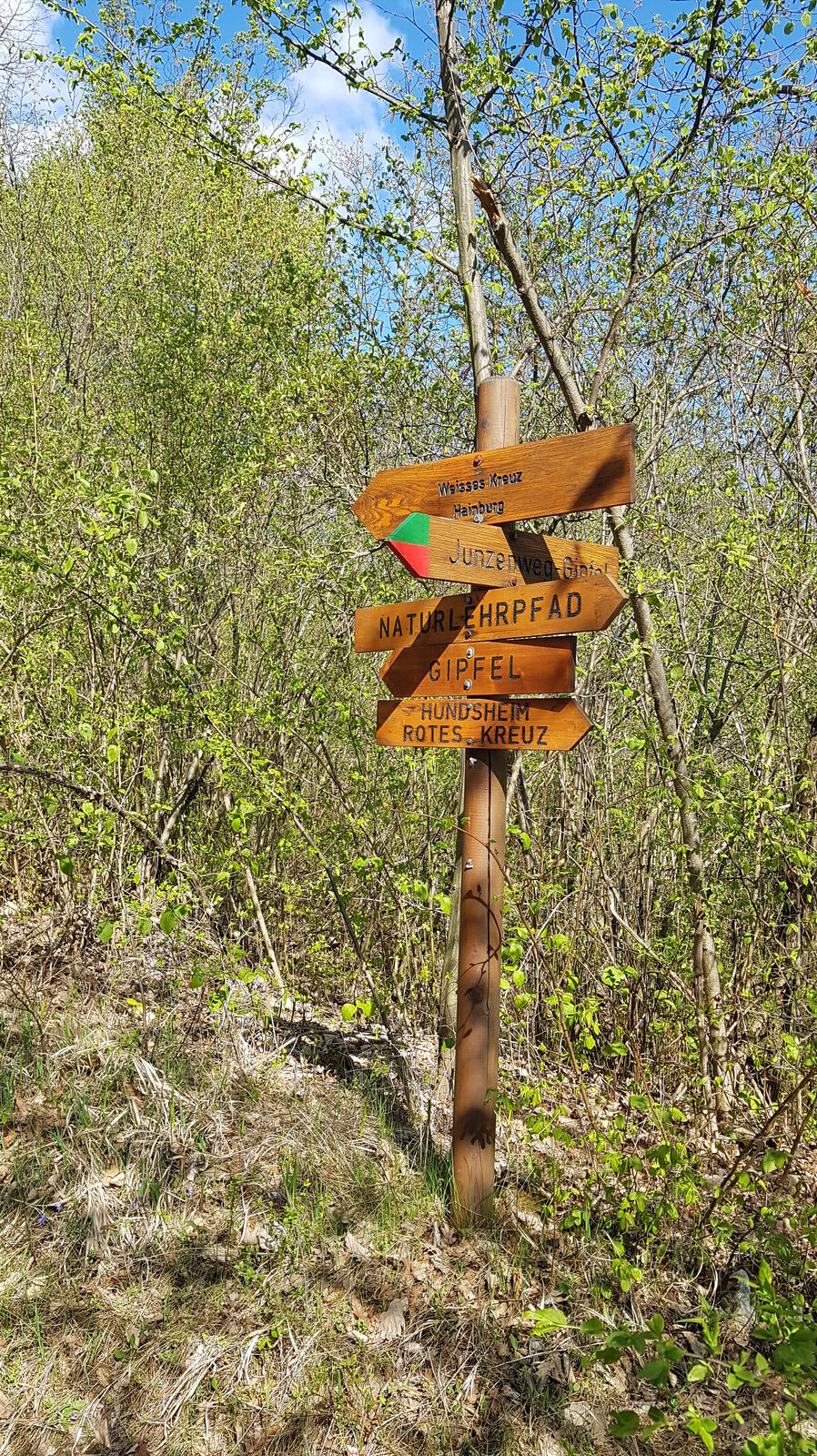
The trail starts either at the train station or at the Danube parking lot in Hainburg. It first leads closely along the Danube to an old castle with a good view of the Au (National Park), then continues along the Danube until you reach a parking lot and an asphalt road. Keeping to the left there, it goes unmarked for a long stretch to a golf course and a small slope up to the eastern edge of Hainburg. Then a little in the village and keeping exactly to the GPS track to the edge of the forest. From there slightly ascending to the white cross and again briefly descending, then steeply ascending to the "summit" of the Hundsheimer Berg. In the following unmarked back to Hainburg; but before that you can make a steep detour to a castle ruin. From there, descend again to the Ungartor (turnoff at a viewing platform) and in Hainburg back to the starting point.


Without climbing up to the castle; direct return.
This tour is inspired by a tour that Helmfried Knoll describes in his book "Wandern in Österreich".
Ja
Ja
Ja
Ja
Ja
Mit Auto oder Schnellbahn von Wien (S7)
Donauparkplatz
Populaire rondleidingen in de buurt
- 4,7
Hiking in the National Park: ECKARTSAUER DONAURUNDE
lichtWandelen8,31 km - 4,7
VIA.MONTE. - RUNDWANDERWEG BRAUNSBERG
mediumWandelen4,47 km - 4,7
Eckartsauer Donaurunde
lichtWandelen8,96 km - 3,8
Hainburg Hundsheimer Berg Schlossberg Braunsberg 20190427
lichtWandelen9,60 km - 3,7
VIA.VISTA. - Rundwanderweg Königswarte Berg
mediumWandelen5,97 km - 3,0
Braunsberg
mediumWandelen6,38 km - 4,5
Hainburg - Hundsheimer Berg - Schlossberg - Braunsberg
lichtWandelen13 km - 3,0
Schloßhof - Devin - Bratislava - Hainburg
lichtFietsen50 km - 3,7
Circular hiking route Hundsheimer Berg - start Hainburg/Donau
mediumWandelen12,2 km - 4,2
Circular hiking route Hundsheimer Berg - Start Hundsheim
lichtWandelen5,31 km
Wandelen en spoorzoeken


Mis geen aanbiedingen en inspiratie voor je volgende vakantie
Uw e-mailadres is toegevoegd aan de mailinglijst.