


Medebacher bergweg


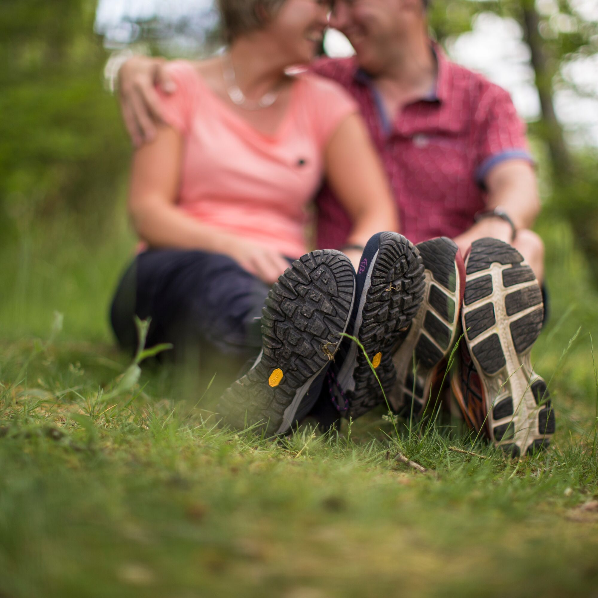
66 km of nature and hiking adventures through the climatic health resort of Medebach in the middle of the Hochsauerland region, leaving nothing to be desired!
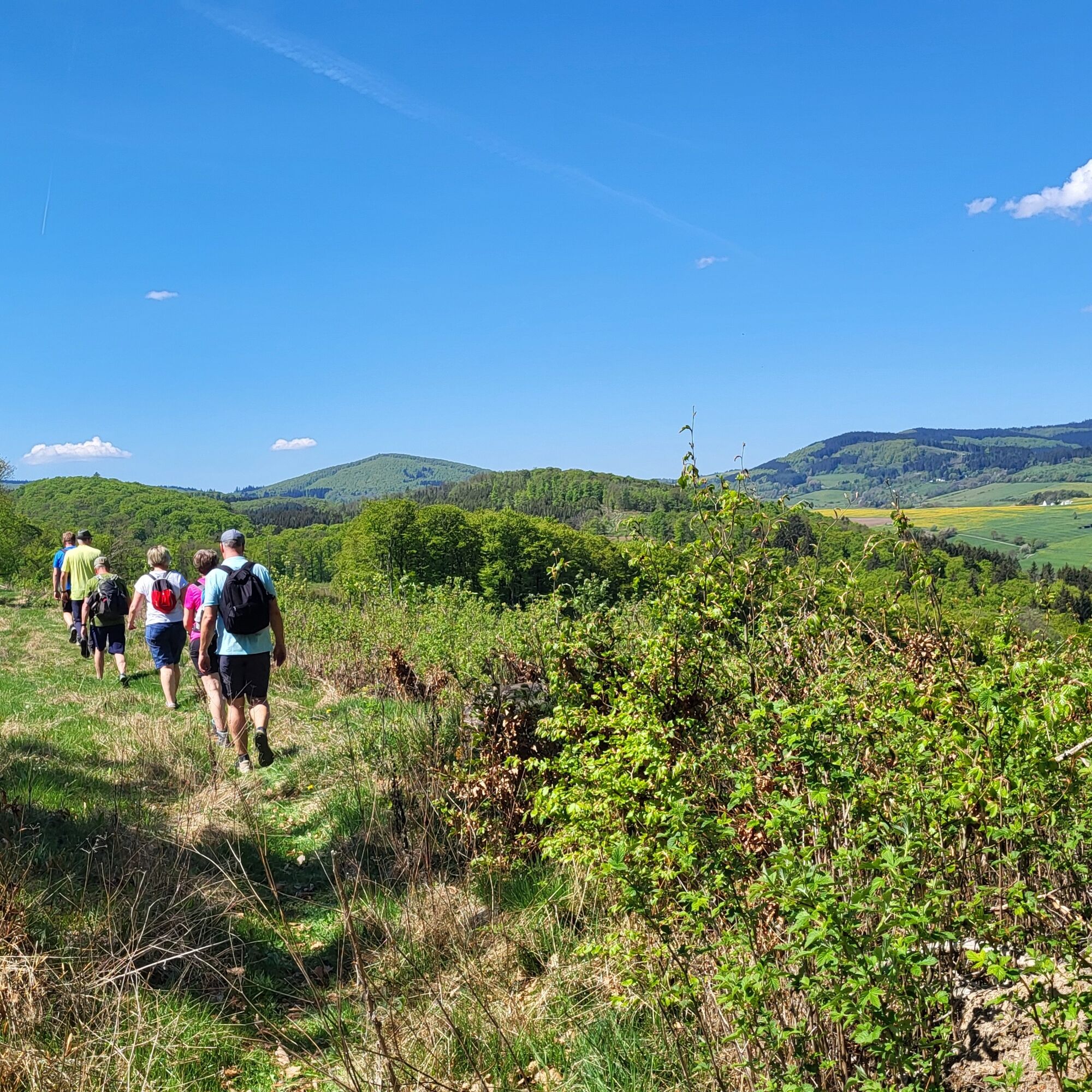
Narrow paths wind their way through dense forests,...
66 km of nature and hiking adventures through the climatic health resort of Medebach in the middle of the Hochsauerland region, leaving nothing to be desired!
Narrow paths wind their way through dense forests, climb the mountain heights, meander along babbling brooks, cross places steeped in history and end again and again in villages adorned with flowers.
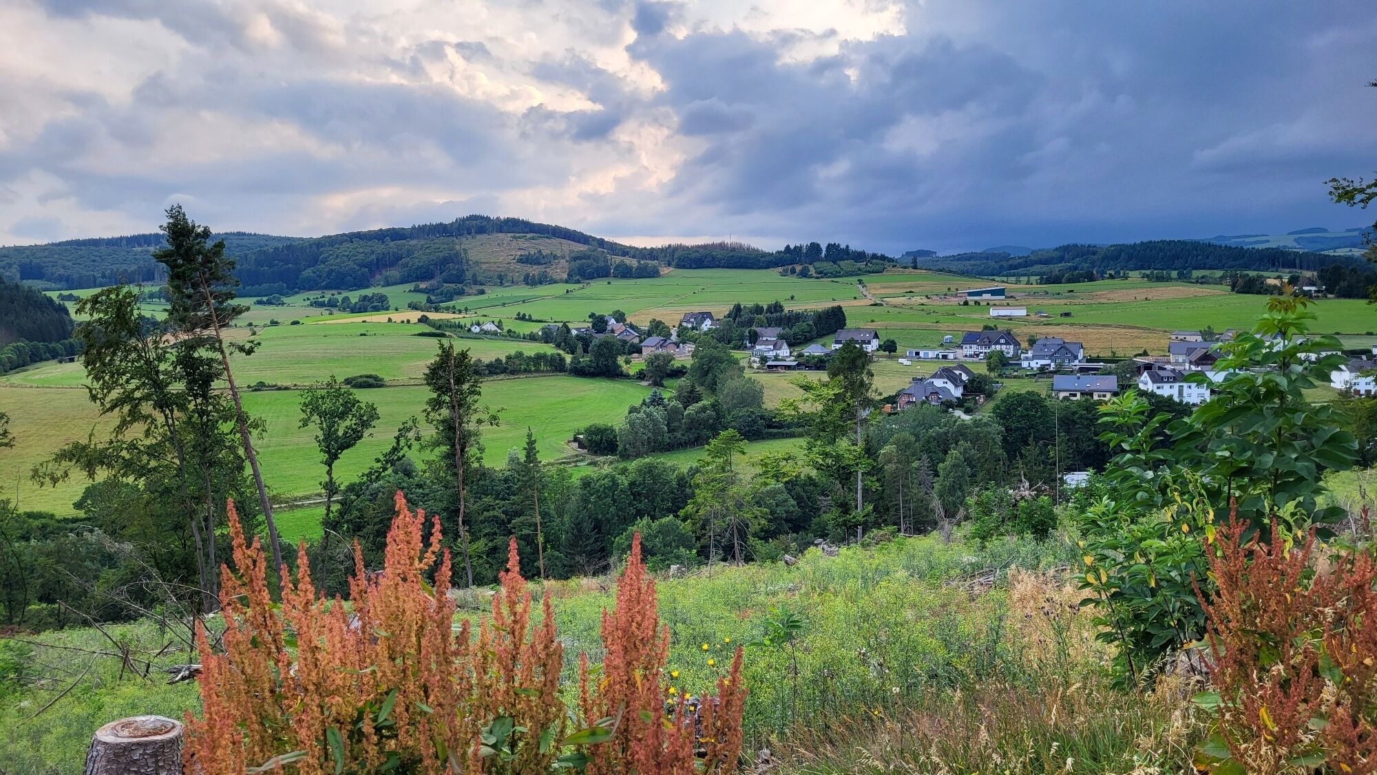
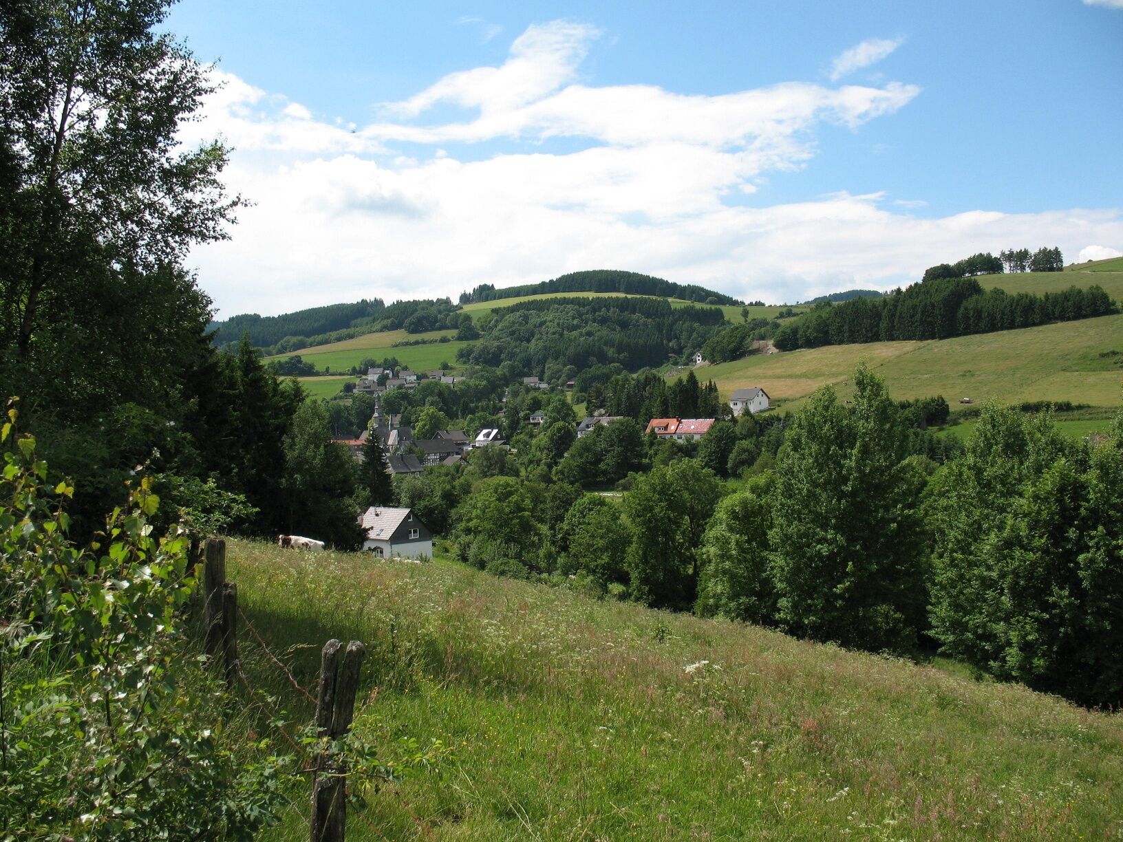
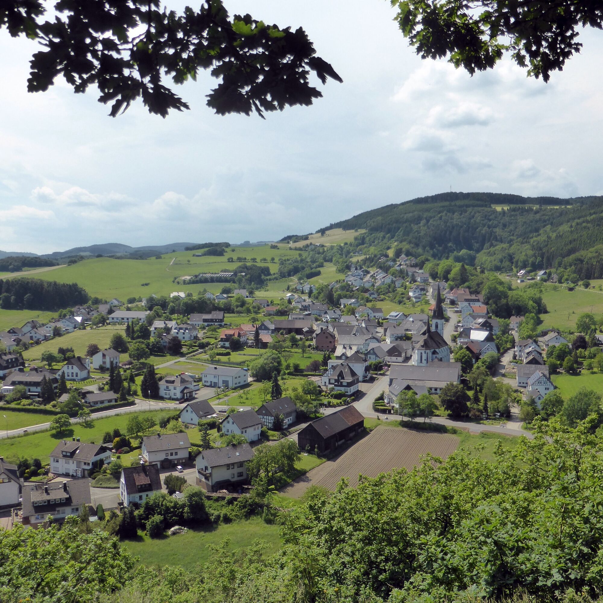
The Medebach Mountain Trail shows hikers the beauty of the sun-drenched Medebach Bay, which is also known as the "Tuscany of the Sauerland". The trail runs around Medebach, touching all the villages in the town: the hilltop village of Küstelberg, the county villages of Deifeld, Referinghausen, Titmaringhausen, Düdinghausen and Oberschledorn as well as the villages of Medelon, Dreislar and Berge.
Be impressed by the breathtaking views and the expansive valley landscapes at the foot of high mountains!
Further information on the individual stages can be found on the website of Touristik-Gesellschaft Medebach mbH.

The mountain trail is marked throughout with the "Maltese Cross", the sign of the crusaders.
Wherever possible, we have affixed red stickers with this cross; in the open countryside, we have sometimes preferred paint and brushes, where you will find white crosses on a black background.
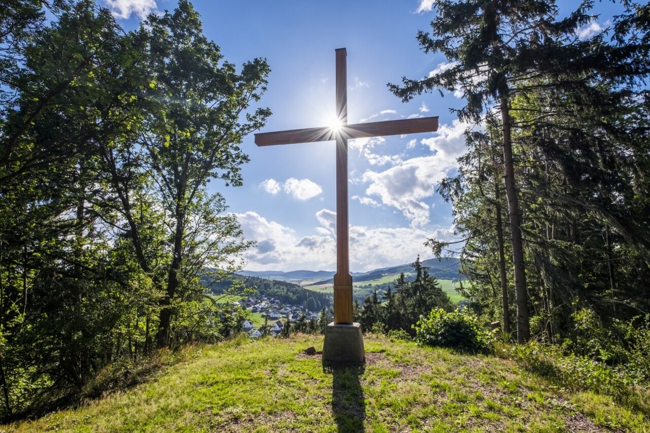
The Medebacher Bergweg starts and ends in the town center of Medebach. From there, we head south on an approx. 3 km long valley hike to the small district of Berge. On the way there, we already have a wonderful view of Medebach and the Medebach Bay for the first time. The mountain trail leads you dreamily between two rows of hedges over the Lückenkopf in the direction of Dreislar. Enjoy the magnificent panoramic view on all sides from the Lückenkopf at an altitude of 479m! The Medebacher Bergweg leads over the Opolt with its summit cross to Dreislar, where you can visit the barite museum.
It goes downhill to Medelon. A strenuous stage awaits you on to Küstelberg, with almost 400 meters of altitude to overcome. The steepest climb awaits you on the ascent of the Rösberg summit at 781 meters. However, you will be rewarded on arrival with a fantastic view of the Winterberg plateau. On the remaining 3 km to Küstelberg, this stage slowly draws to a close.
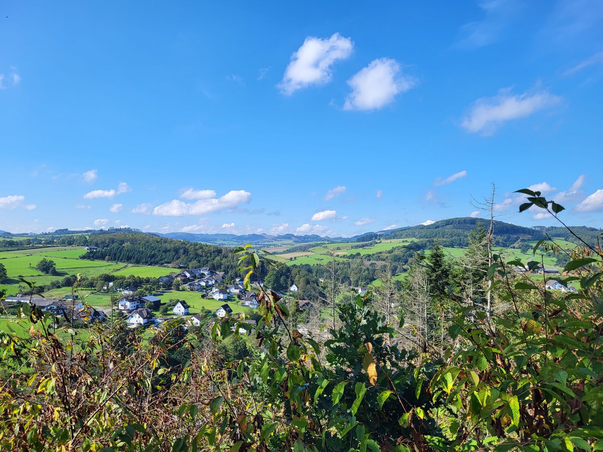
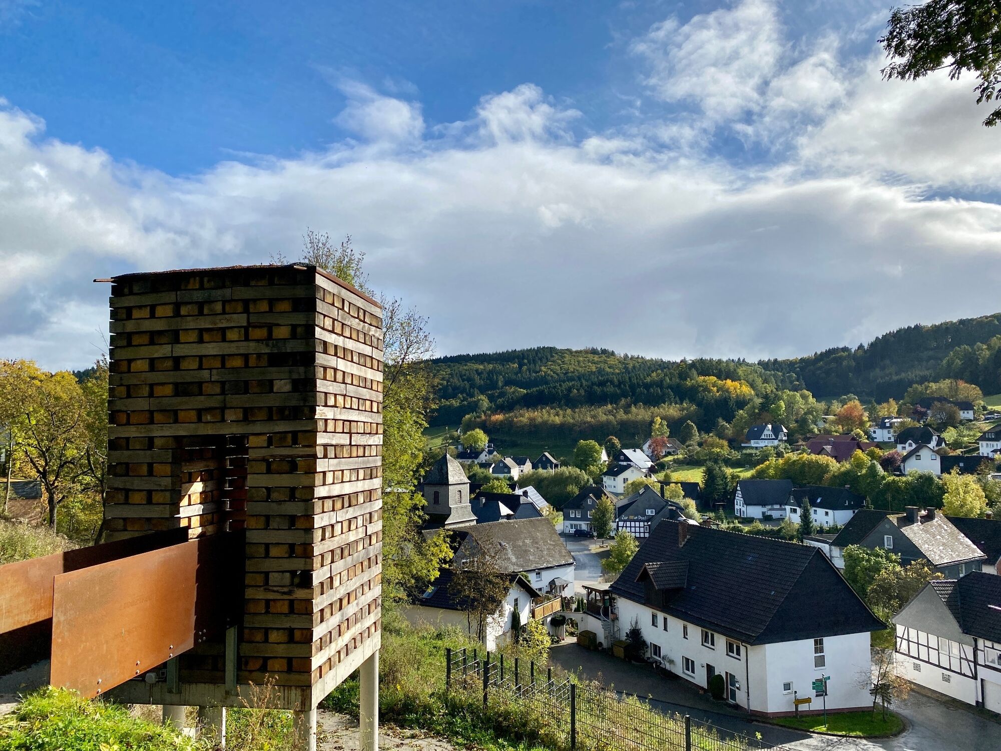
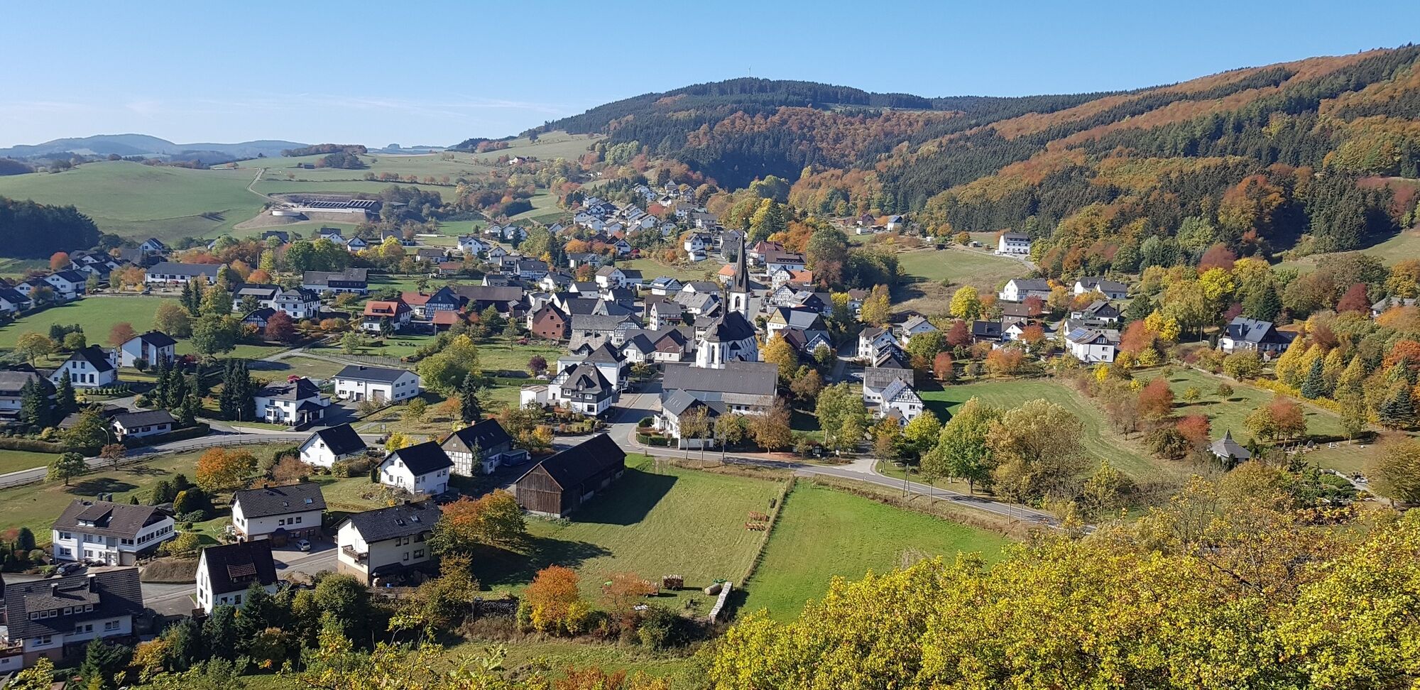
The Medebacher Bergweg now continues through the county villages of Deifeld, Referinghausen, Titmaringhausen, Düdinghausen and Oberschledorn. On this section, you can expect a variety of fantastic views from the highest elevations on the mountain trail: Kahler Pön and Ka-Lied are just a few examples. Read on an information board what the "Untere Spitzkehre" of the former Steinhelle-Medebach narrow-gauge railroad is all about, make a pilgrimage along the old Heidenstraße or marvel at the oldest half-timbered house in Medebach - the historic Fresenhof. On the way through the Usseler Heide, the view of the Hessian mountains opens up at the Usseler Kreuz.
On the last section of the mountain trail from Oberschledorn to Medebach, you leave another 10 km behind you before you reach the starting point of the hike - the Weddelsee lake in Medebach.
For the 66 km long quality trail of the "Wanderbares Deutschland" initiative of the German Hiking Association, strict attention was paid to ensuring a high level of quality in terms of markings, signposting and variety in the route.
Ja
Ja
Ja
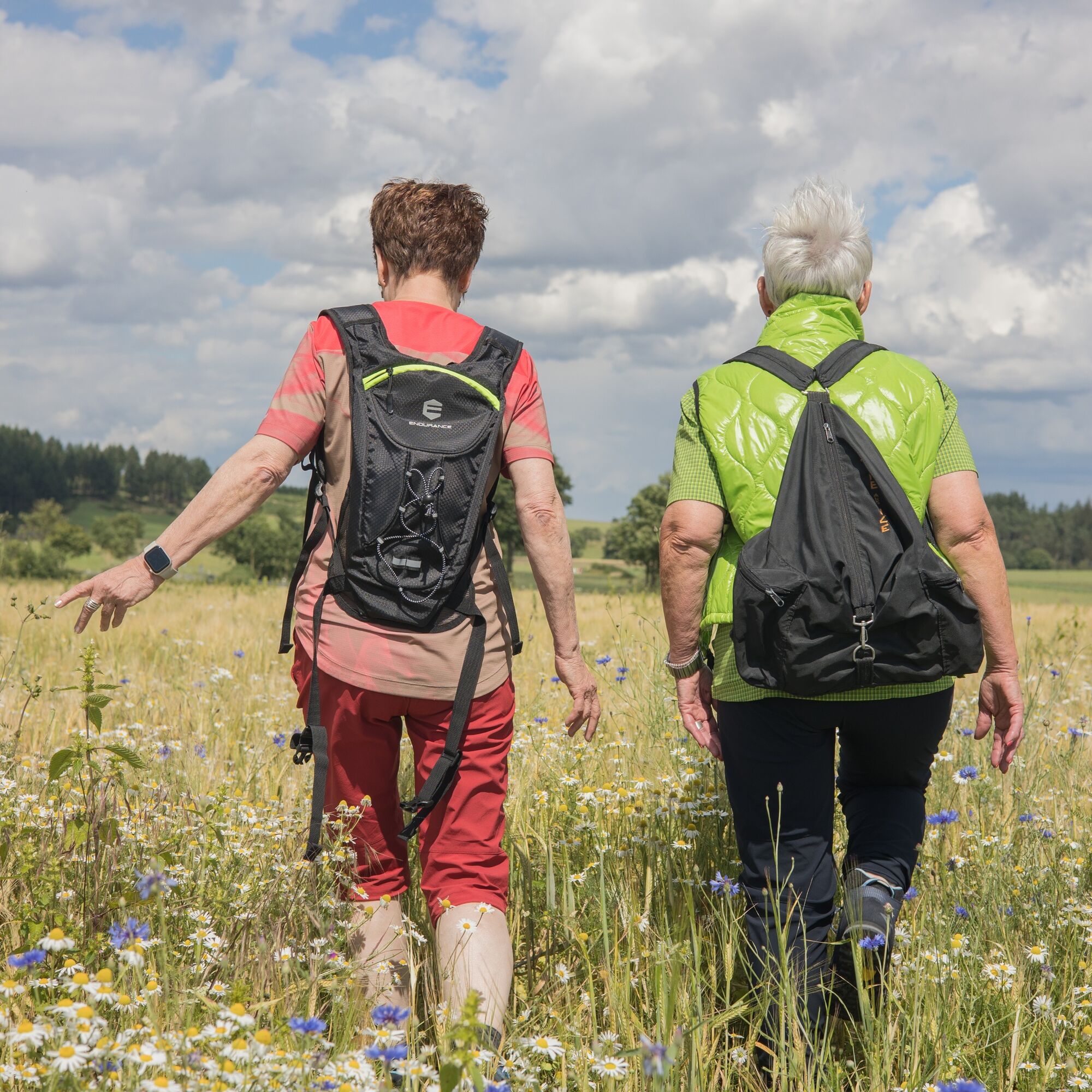
Sturdy shoes and clothing suitable for the weather.
Plan your stage according to your fitness level and ability. Take enough breaks and pace yourself.Dress appropriately for a hike. Wear hard-wearing clothing that is suitable for the weather and protects you from rain, cold, sun and heat.Suitable shoes are important for a hike on the Medebacher Bergweg. Sandals, bathing shoes or sneakers are unsuitable footwear. The tread of the shoes must be good and non-slip. It can be very slippery in the forest after rain showers. In the fall, leaves can cover loose stones, roots or uneven surfaces.Hikers like natural paths and trails. However, this also requires appropriate attention!Should a dangerous situation nevertheless arise, you will find green and white signs at the crossroads. They show the number of the emergency call and a specific code number; a combination of letters and numbers (UTM system). This combination is the location and helps the emergency services to locate you!
Current information about our forests - The bark beetle and its consequences
The forest owners are endeavoring to take the necessary measures in the forests and to remove the damaged wood. However, due to the extent of the damage, this work cannot be completed in a short space of time. The clearing and reforestation of the damaged forest stands will therefore take a long time and sometimes lead to disruptions such as closures and detour in the forests. This must always be taken into account when visiting the forest.
We therefore appeal to everyone who cares about the forest:
Understand that extensive forestry work is necessary in the current situation and that this is currently accompanying your forest experience.Be particularly attentive during your leisure activities and observe the prevailing instructions and any prohibitions
Please be considerate ...
Parking garage under the market square, access via Niederstraße.
Ja
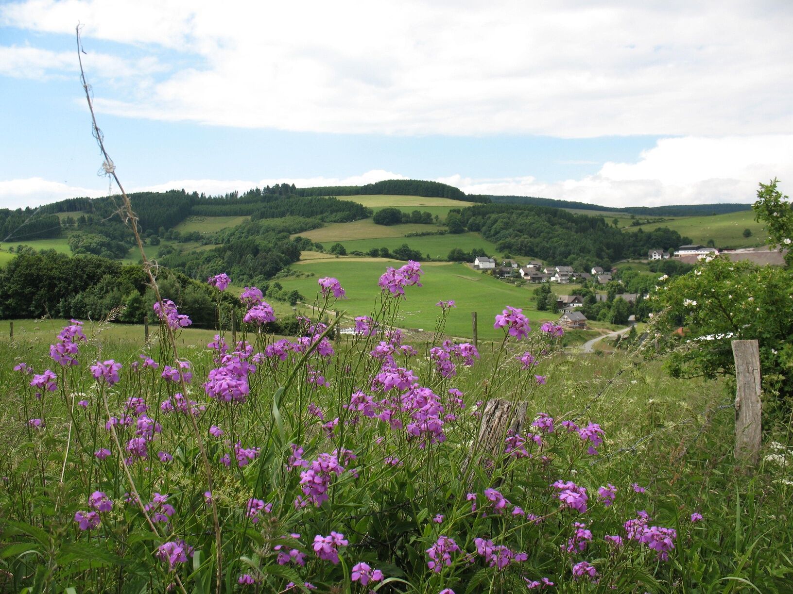
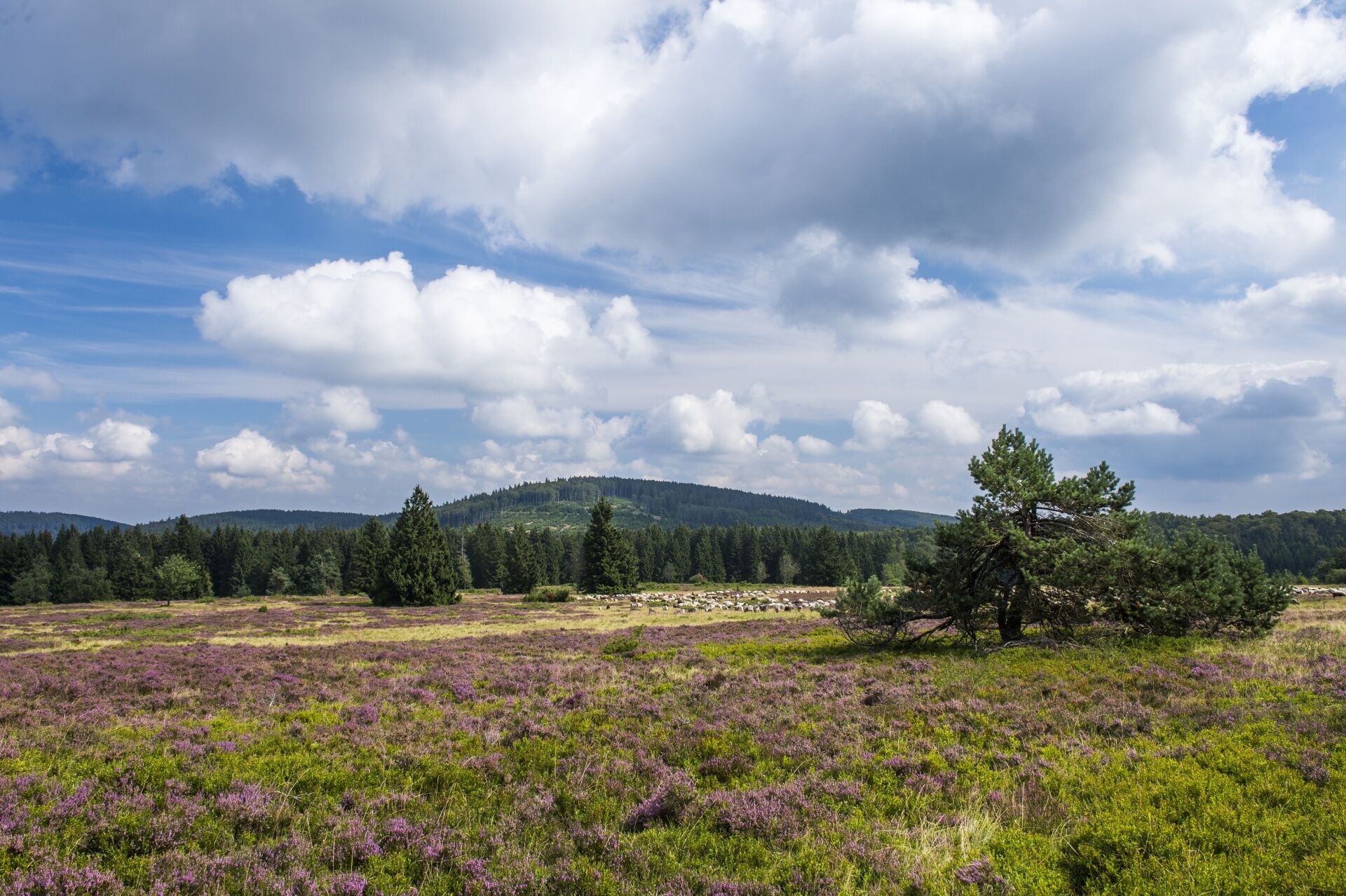
Experience the unique landscape of the Hochheide near Titmaringhausen and Düdinghausen with fantastic views of the Kalied and the Usselner Kreuz.
Webcams van de tour
-
Talstation Ettelsberg-Seilbahn
-
Talstation Ettelsberg-Seilbahn
-
Talstation Ettelsberg-Seilbahn
-
Talstation Ettelsberg-Seilbahn
-
Talstation Ettelsberg-Seilbahn
-
Kurhotel Hochsauerland 2010
-
Kurhotel Hochsauerland 2010
-
Kurhotel Hochsauerland 2010
-
Kurhotel Hochsauerland 2010
-
Kurhotel Hochsauerland 2010
-
AVENTURA SpielBerg
-
AVENTURA SpielBerg
-
AVENTURA SpielBerg
-
AVENTURA SpielBerg
-
AVENTURA SpielBerg
-
Hochheideturm - Ettelsberg
-
Skywalk
-
Skywalk
-
Skywalk
-
Skywalk
-
Skywalk
-
Stern Hotel Sauerland
-
Willinger Brauhaus
-
Ettelsberg
Populaire rondleidingen in de buurt
-
4,0
Rondlopende route Langenberg (kwaliteitsroute)
zwaarWandelen 14,6 km -
Schmalahtal-rondlopende route (Qualitätstour Wanderbares Deutschland)
mediumWandelen 8,49 km -
5,0
Rundweg Skywalk/Schanze - Ettelsberg
lichtWandelen 4,10 km -
4,0
Willingen (W8)
mediumWandelen 12,9 km -
4,7
Bruchhauser Steine B1
mediumWandelen 11,8 km -
Bruchhausener Steine
zwaarWandelen 5,15 km -
5,0
Willingen (W8)
mediumWandelen 12,9 km -
5,0
Winterberg - rund um den Kreuzberg
lichtWandelen 10,9 km -
5,0
Upländer Besinnungsweg
lichtWandelen 17,6 km -
Rundweg Skywalk
lichtWandelen 4 km
Wandelen en spoorzoeken


Mis geen aanbiedingen en inspiratie voor je volgende vakantie
Uw e-mailadres is toegevoegd aan de mailinglijst.