


Creuse Route / Northern Section: Boussac > Crozant
Moeilijkheidsgraad: 3


The northern section is signposted both ways, so you can depart from either Boussac or Crozant.
Along the way, you will have the opportunity to discover the Impressionists' valley of Crozant, the Monet-Rollinat...
The northern section is signposted both ways, so you can depart from either Boussac or Crozant.
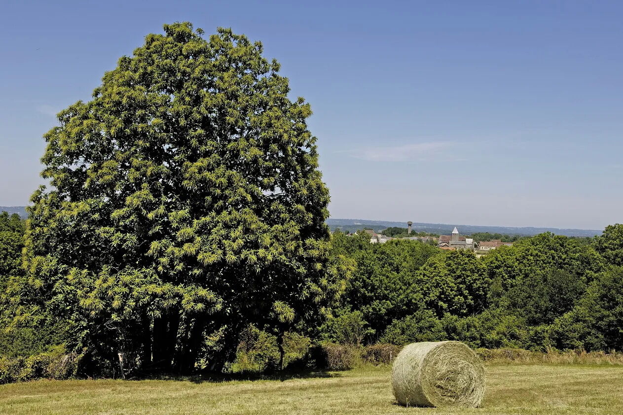
Along the way, you will have the opportunity to discover the Impressionists' valley of Crozant, the Monet-Rollinat art creation center in Fresselines, and you will pedal along the painters' road that follows the Creuse River to La Celle Dunoise, which you will cross.
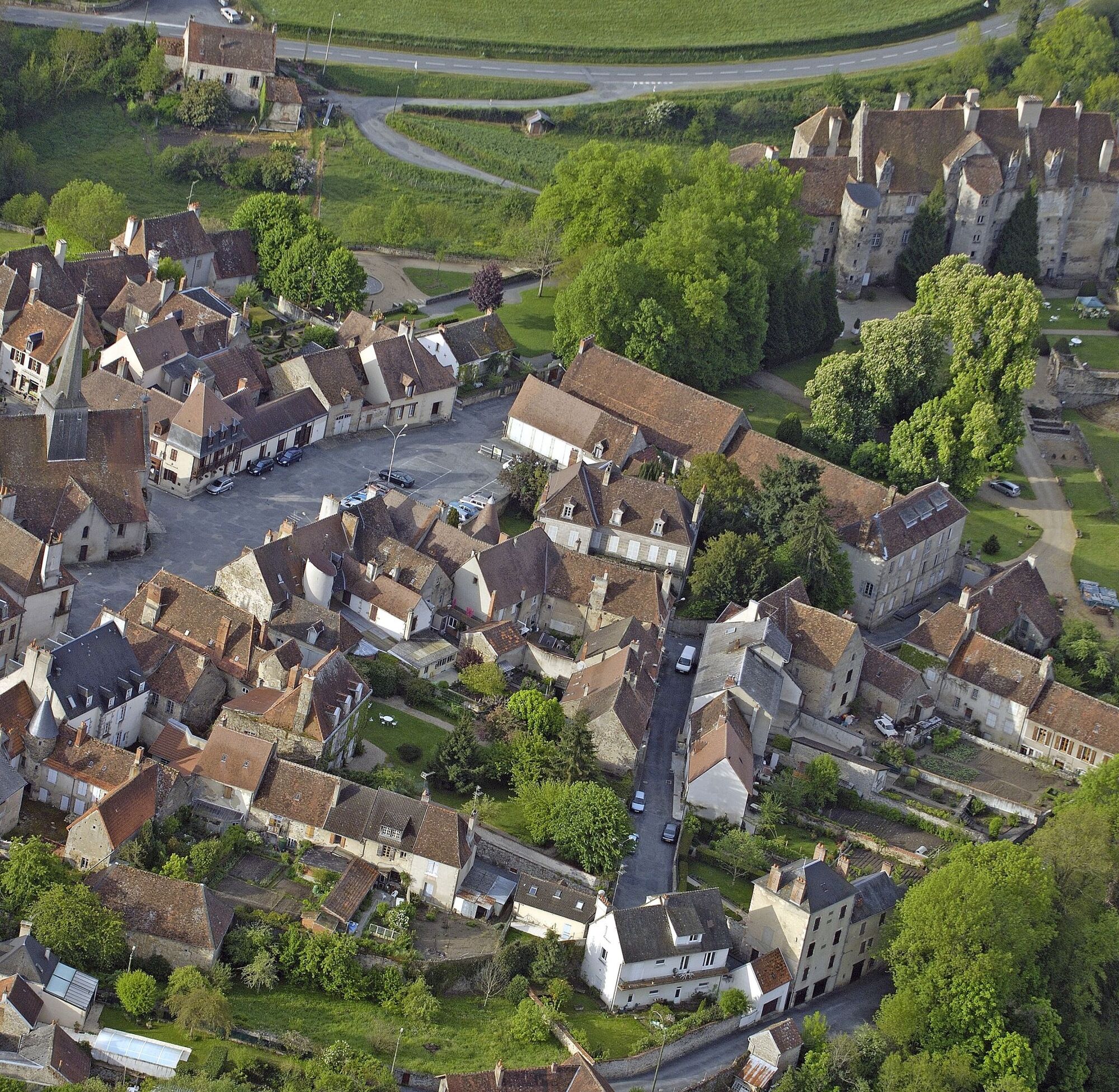
At Bourg d’Hem, you can admire the church and the panorama over Lake des Chezelles, stop at the Pouligny Tile Factory ecomuseum, and enjoy the heart of the village of Châtelus-Malvaleix.
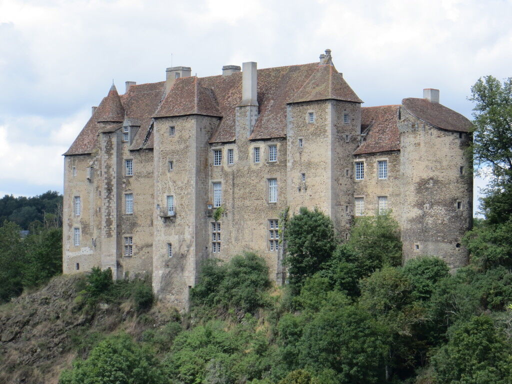
In Boussac, the end of your ride, you will have the chance to visit, depending on your arrival time, the castle classified as a Historical Monument that once housed the famous tapestry "The Lady and the Unicorn".

A bike in good condition and well equipped helps ensure your safety as well as that of other road users.
Before you set off:
Make sure the bike is in perfect mechanical condition, including tires and brakes Ensure the bike is properly adjusted to your body shape Wearing a helmet is strongly recommended Bring a repair kit Remember that the traffic code applies to cyclists at all times Never ride more than two abreast and move into single file when traffic conditions require it Respect other road users as you would like them to respect you Choose a route adapted to your physical abilities Inform those close to you about your itinerary Check the weather conditions A first aid kit is not essential but can be very useful Find out and keep emergency phone numbers. Respect the environment by not throwing your food wrappers on the roadside If you have to return at nightfall, make sure to see and be seen
Emergency number: 112
3
Find all information about our destination on our website
Populaire rondleidingen in de buurt
-
GRP des Monts de Guéret - Water loop
zwaarlangeafstandswandelpad 75,8 km -
Mountain bike tour n°35 - Fresselines
mediumMountainbike 20,4 km -
GPR Des Monts de Guéret - Boucle de l'eau
mediumWandelen 75,8 km -
Mountain bike tour n°36 - The Jouillat leisure base
zwaarMountainbike 19,3 km -
GR®Pays Les Monts de Guéret : la boucle de l’eau en écomobilité
zwaarWandelen 76,8 km -
De Pierre et de Bois SD1
mediumWandelen 11,1 km -
Circuit VTT n°33
lichtMountainbike 5,32 km -
Circuit VTT n°36
mediumMountainbike 7,14 km -
Glénic / Ajain Boucle Locale 6
lichtFietsen 16,2 km -
Circuit VTT n°31
zwaarMountainbike 24,5 km
Wandelen en spoorzoeken


Mis geen aanbiedingen en inspiratie voor je volgende vakantie
Uw e-mailadres is toegevoegd aan de mailinglijst.