


Madeloc Massif


From the Collioure Castle the path climbs up through the vineyard. After the little Chapel of Notre Dame de Consolation, the path climbs up to the ridges of the Madeloc Tower. From there, the scenery...
From the Collioure Castle the path climbs up through the vineyard. After the little Chapel of Notre Dame de Consolation, the path climbs up to the ridges of the Madeloc Tower. From there, the scenery is wonderful with the Vermeille Coast and the three beautiful villages of Collioure, Port-Vendres and Banyuls
Follow the exit of the Glacis carpark and go down to the roundabout. Cross the street and go in front of the church, Rue du Temple. Pass under the railway, continue on Galère street as it crosses Chemin de Consolation and take the left to leave the village.
Pass under the viaduct and go straight to the SaintThérése Oratory. Take the left path at the little bridge.
Take the big paved path that leads to Consolation. Continue on the path, then take the rocky steps on the left to reach ConsolationBeyond that, the path runs along a fenced vineyard, and becomes gradually steeper & steeper as it approaches RD 86 and Col de la Serre vineyard.
At the level of Col de la Serre, leave the road and climb the path on the left. Upon arriving at Mas de la Serre, continue on the left path and climb a steep slope towards the Taillefer Battery.
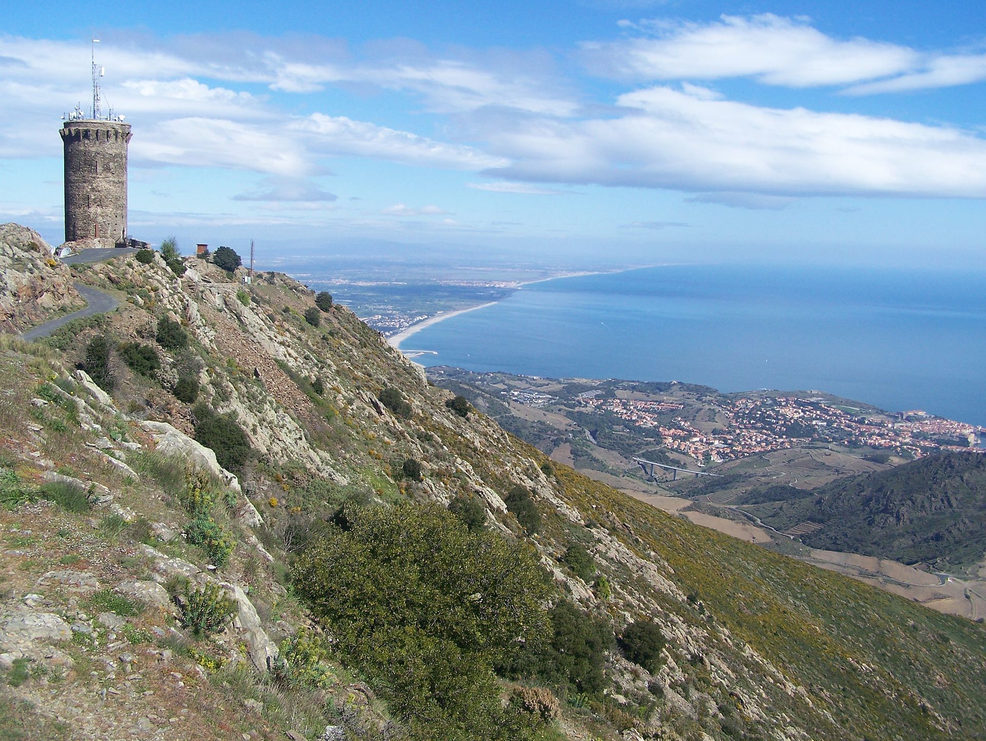
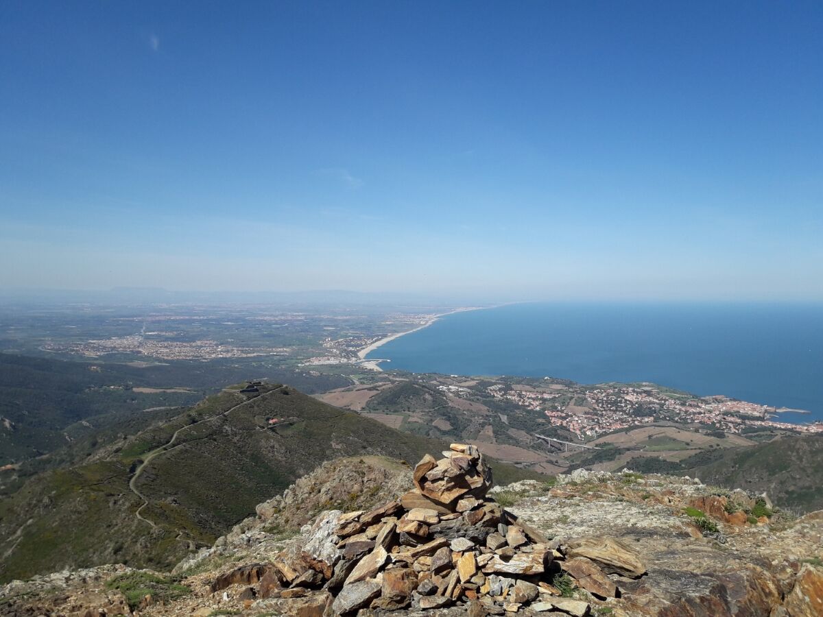
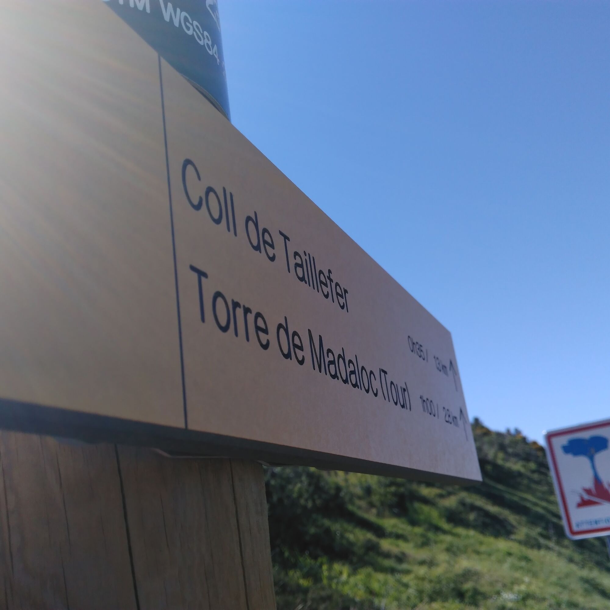
Go back down towards the Col of Taillefer and continue on to the path that is in front of you, and after several turns, you will come upon the Madeloc Tower . Enjoy the exceptional view on the Vermeille Coast, The Massane Tower and the Roussillon Plains.
Go down by a small road to the la Batterie des 500 and go straight on the stony path opposite that joins the GR 10 on right .Do not leave to the Col of Gascons.
Continue towards the Vallaury Col. Bypass the Madeloc Massif by the Formingo Col, then pass Vallaurria. You’ll see several ruins on this path.
At the crossroads, take the path on the right for 50 meters, and continue to the right after having seen the Madeloc Tower. Follow this path on the hillside to the Col de la Serre.
Come back to the hut of Mas de la Serra and continue left. Return to point 4 on this itinerary, and follow in reverse ,first on the road then by the path that goes down towards Notre-Dame-de-Consolation and Collioure.
Ja
By RD 114 in the direction of Port-Vendres.
You enjoy nature, You like it, take care of it...
Along the hiking trail, rubbish bins are at your disposal.
Every month over tens of thousands of hikers and walkers visit this exceptional site. Please do not litter and use the rubbish bins (glass, plastic, rubbish etc...). Also, please dispose of any litter you might find along the trail.
Help keep this site clean with simple yet essential gestures. Lets give back to nature what nature gave us
Populaire rondleidingen in de buurt
Hauts des Forts Trail (Long Version)
mediumTrailrunning21,8 km[Connection] Elne-Argelès-sur-Mer
mediumRacefiets12,3 kmRallye-enquête : Le linteau millénaire de Saint-Genis-des-Fontaines
mediumRacefiets28,6 kmMadeloc
mediumWandelen8,83 kmGR10 Pyrenäenweg Etappe 55
mediumlangeafstandswandelpad23,2 km[Stroll] "the balconies" of Cosprons
lichtMountainbike6,77 kmCatalan Getaway in the Pyrenees Mediterranean
mediumRacefiets62,4 kmFrom Lavail to Valmy via the Tour de la Massane
mediumWandelen10,3 km"La Retirada" and the paths of exile
mediumWandelen5,26 kmorienteering course of Laroque-des-Albères
lichtTrailrunning3,71 km
Wandelen en spoorzoeken


Mis geen aanbiedingen en inspiratie voor je volgende vakantie
Uw e-mailadres is toegevoegd aan de mailinglijst.