


Obersee Rundwanderung


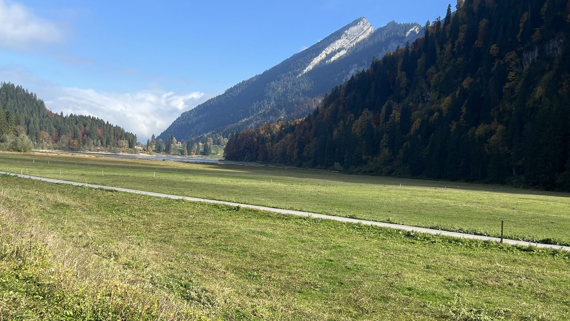
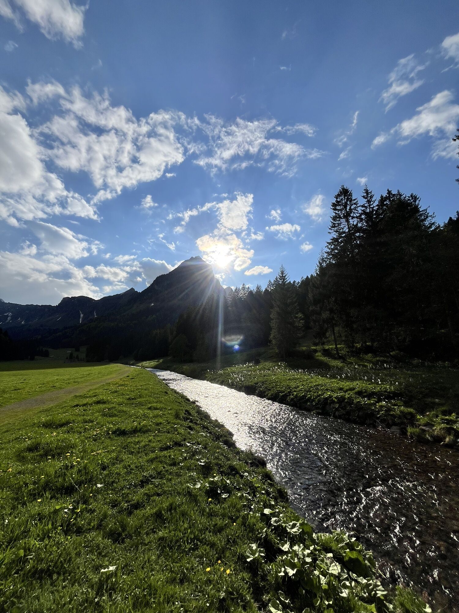
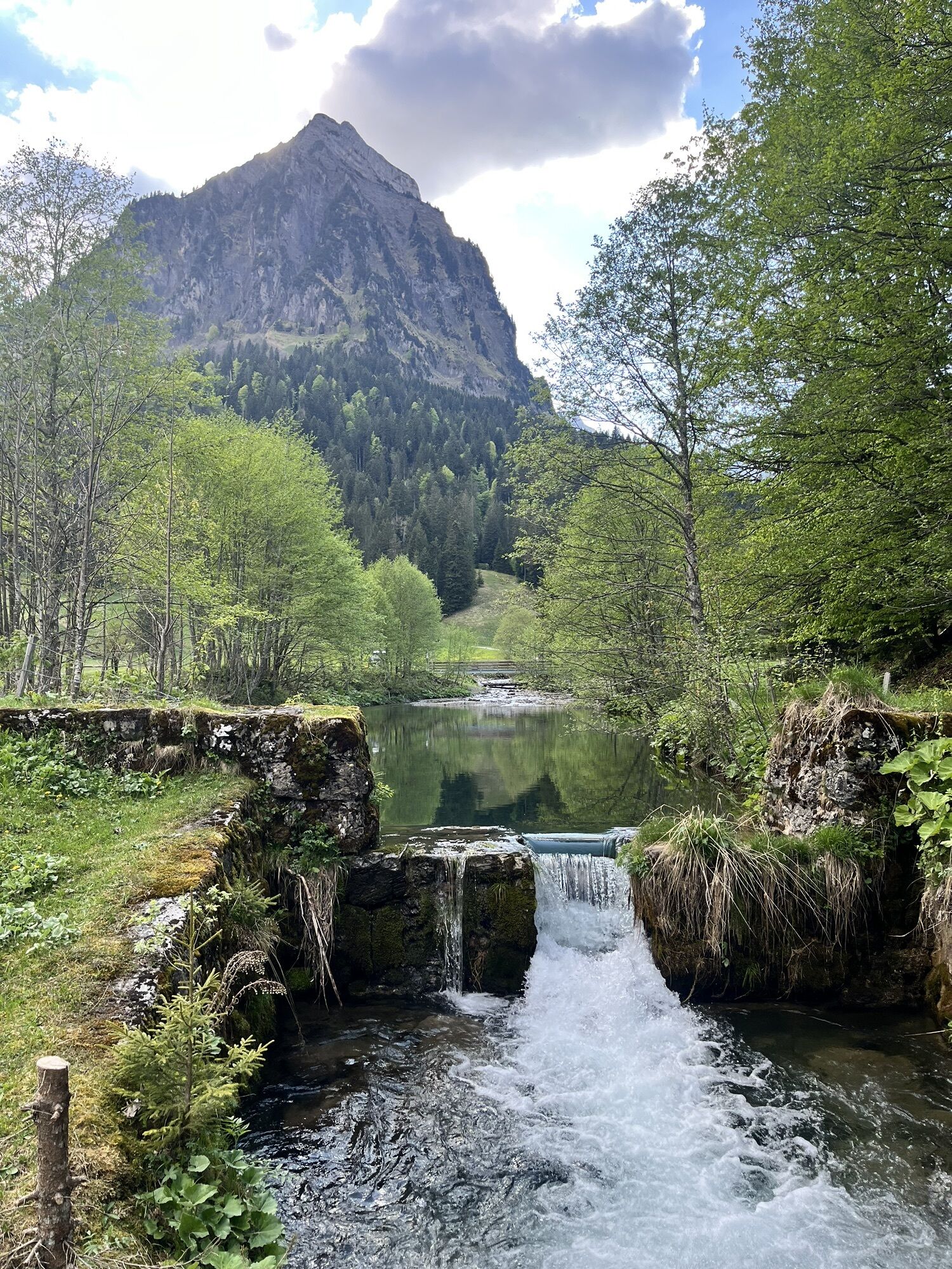
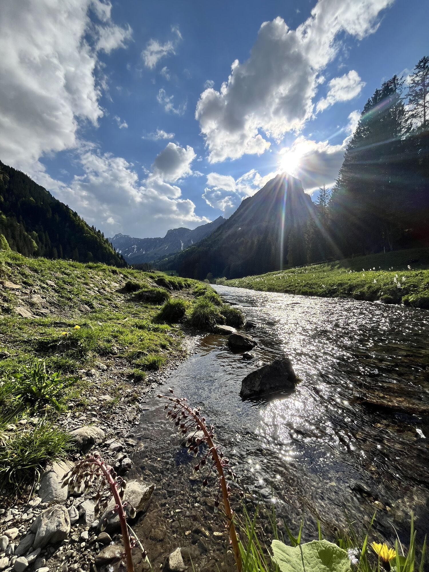
Access by car or cab from Näffels. From Obersee, the trail first leads up through the forest on paths. After crossing the open alpine landscape (asphalt), the path climbs steeply up to the Stäfeli Alm,...
Access by car or cab from Näffels.
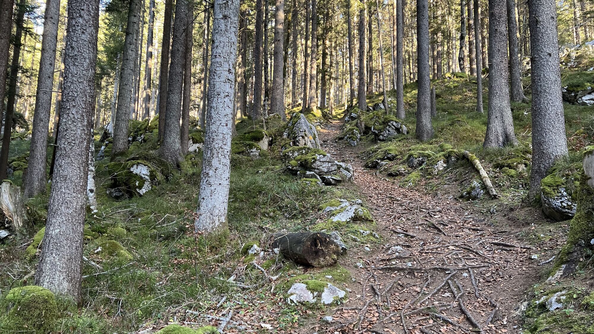
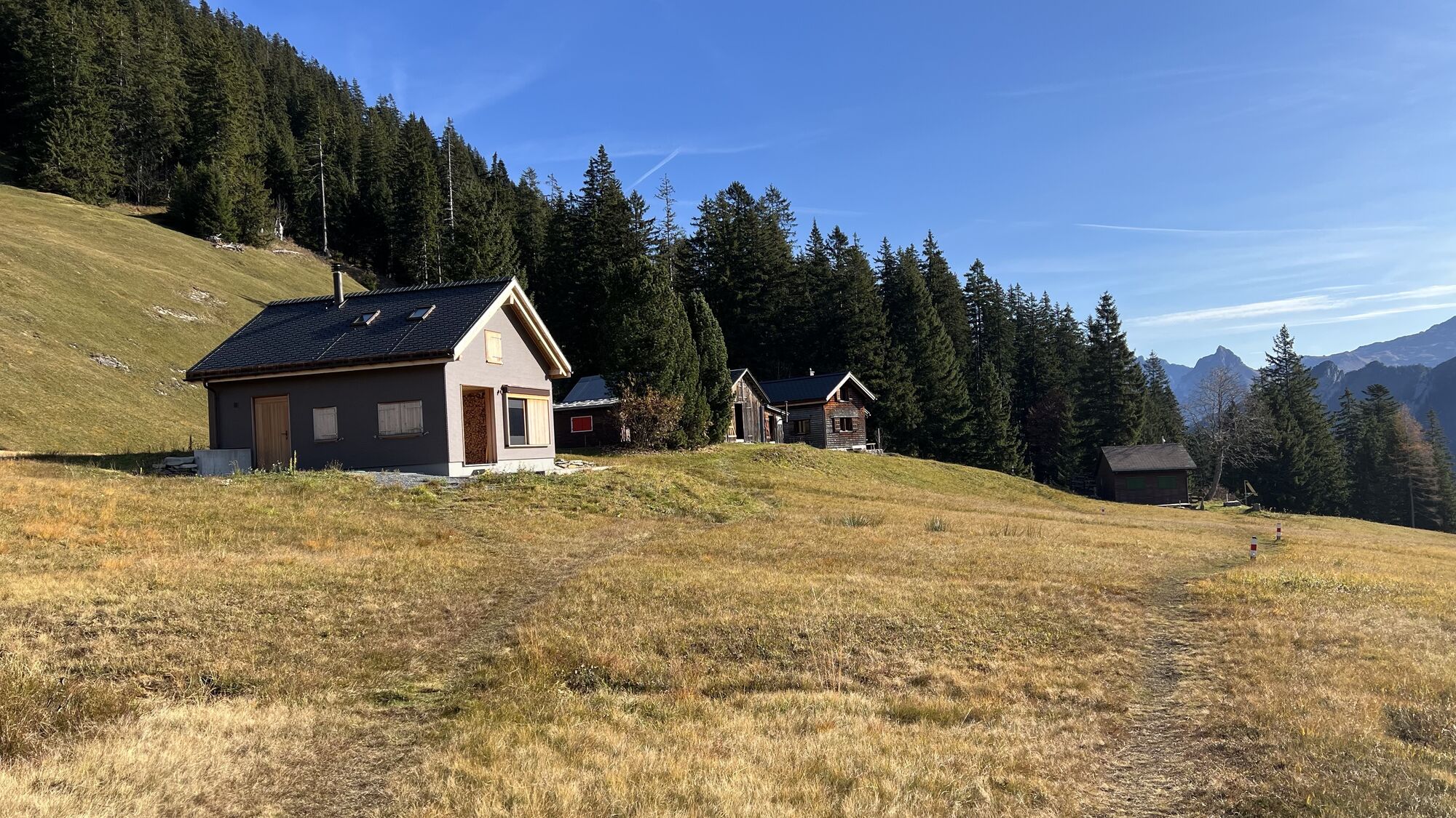
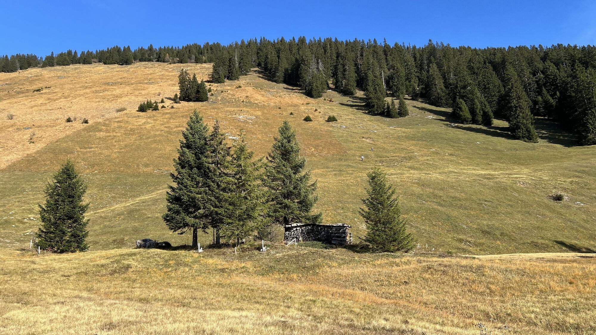
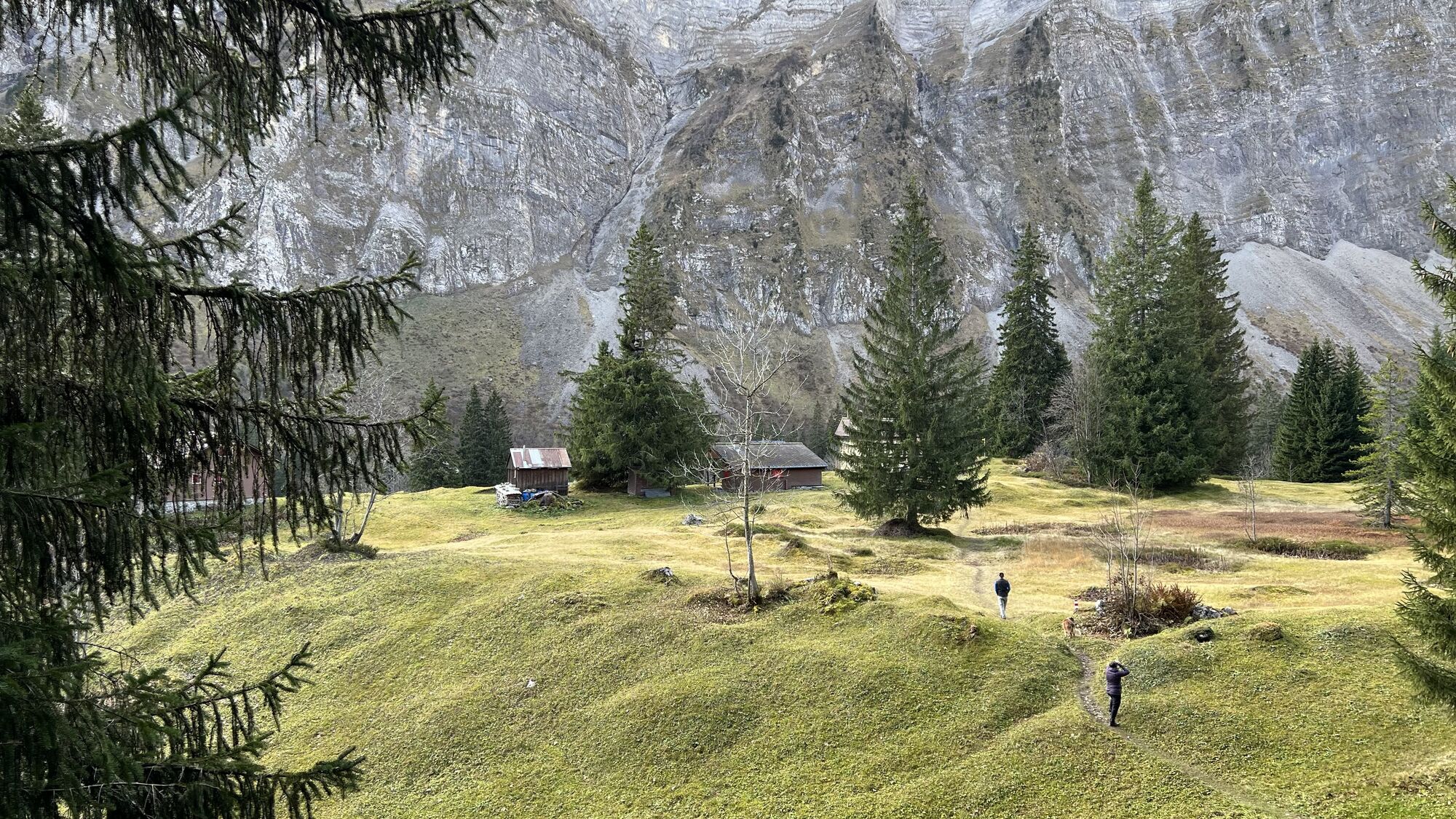
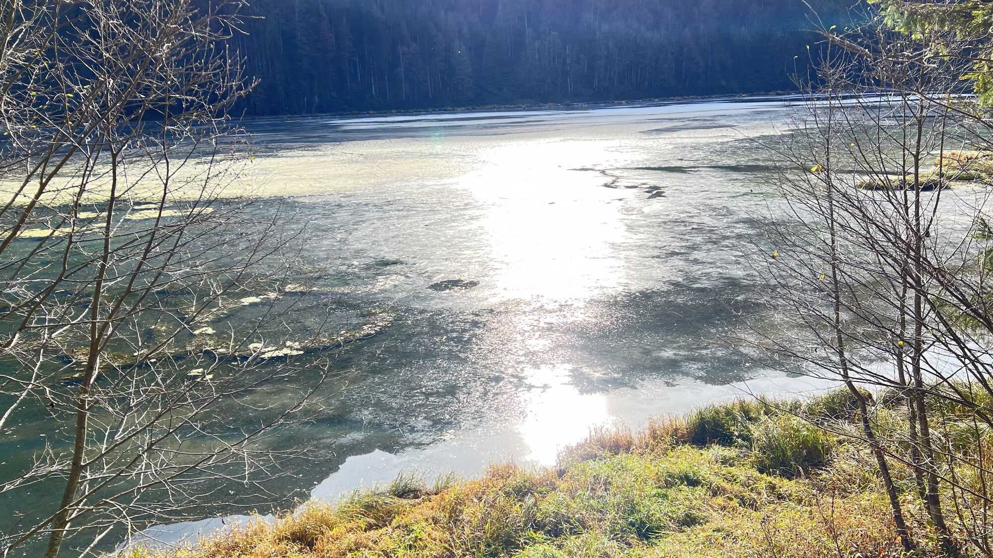
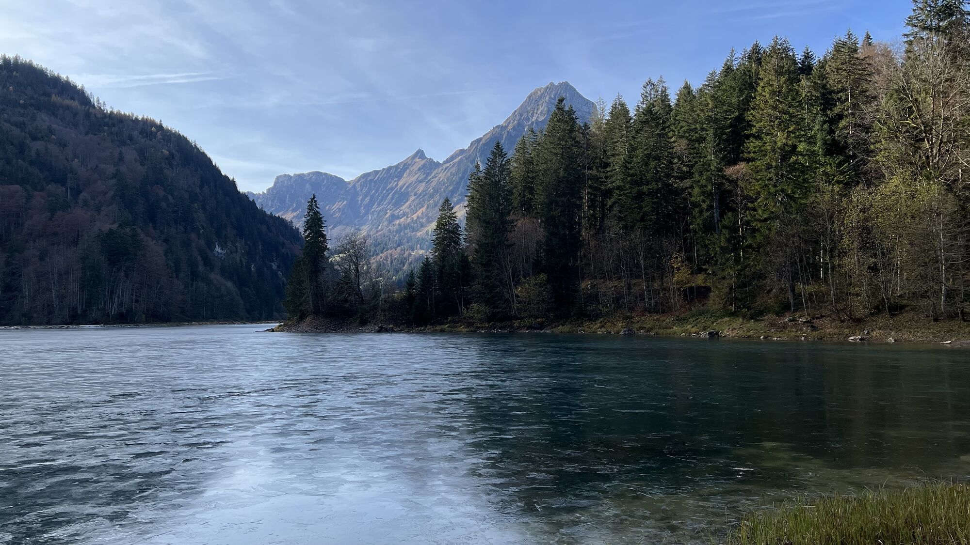
From Obersee, the trail first leads up through the forest on paths. After crossing the open alpine landscape (asphalt), the path climbs steeply up to the Stäfeli Alm, which is also the highest point of the circular hike. From there it goes down to Ahornen, a small mountain settlement.
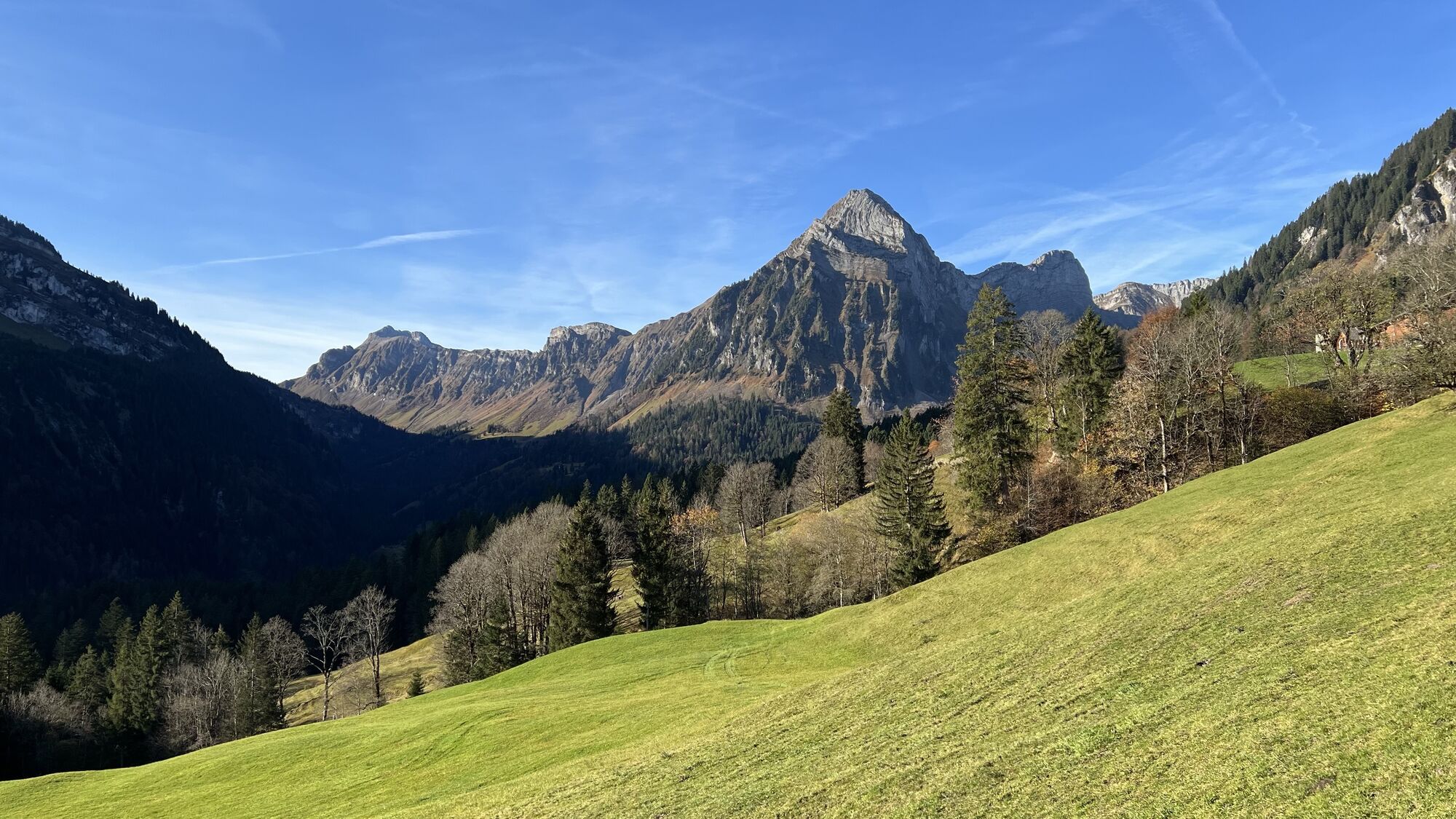
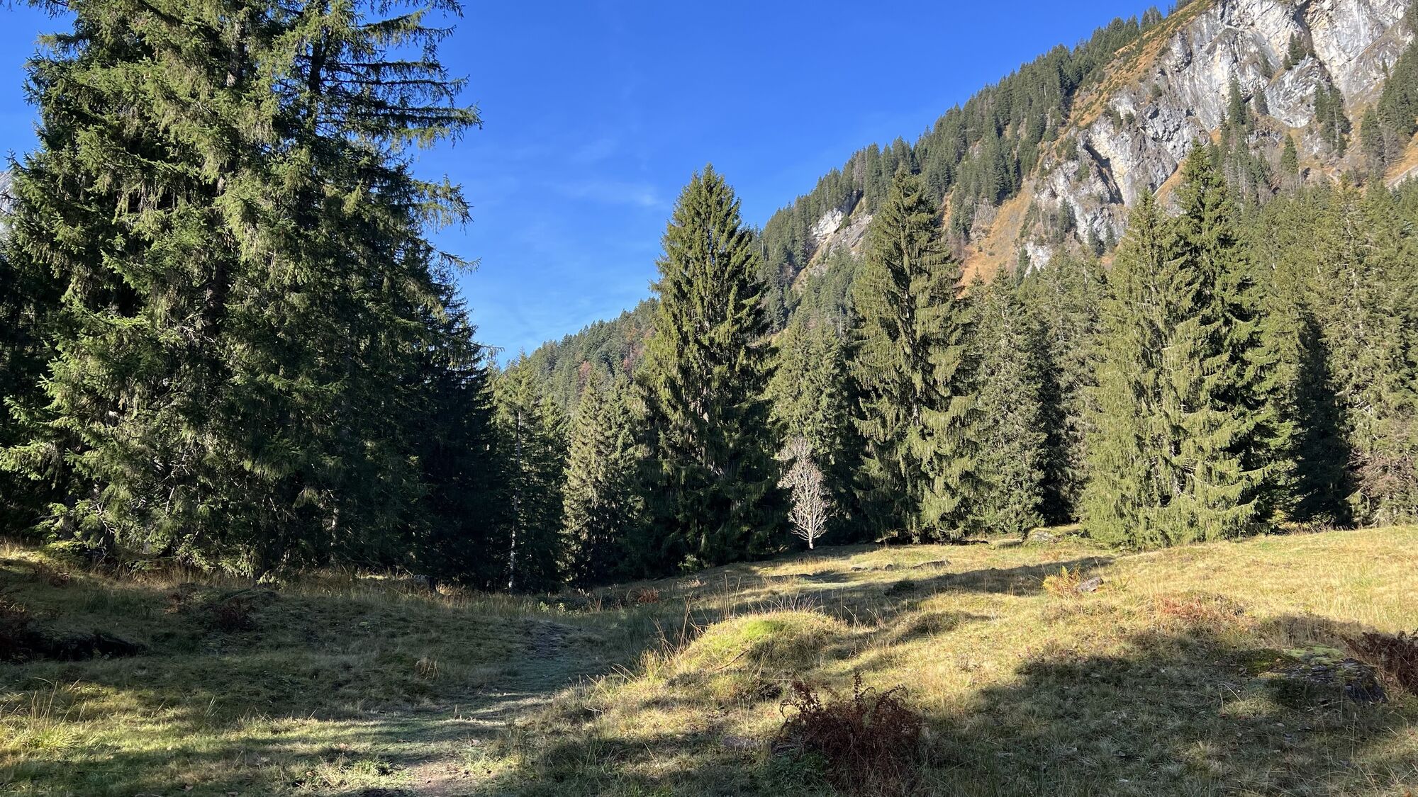
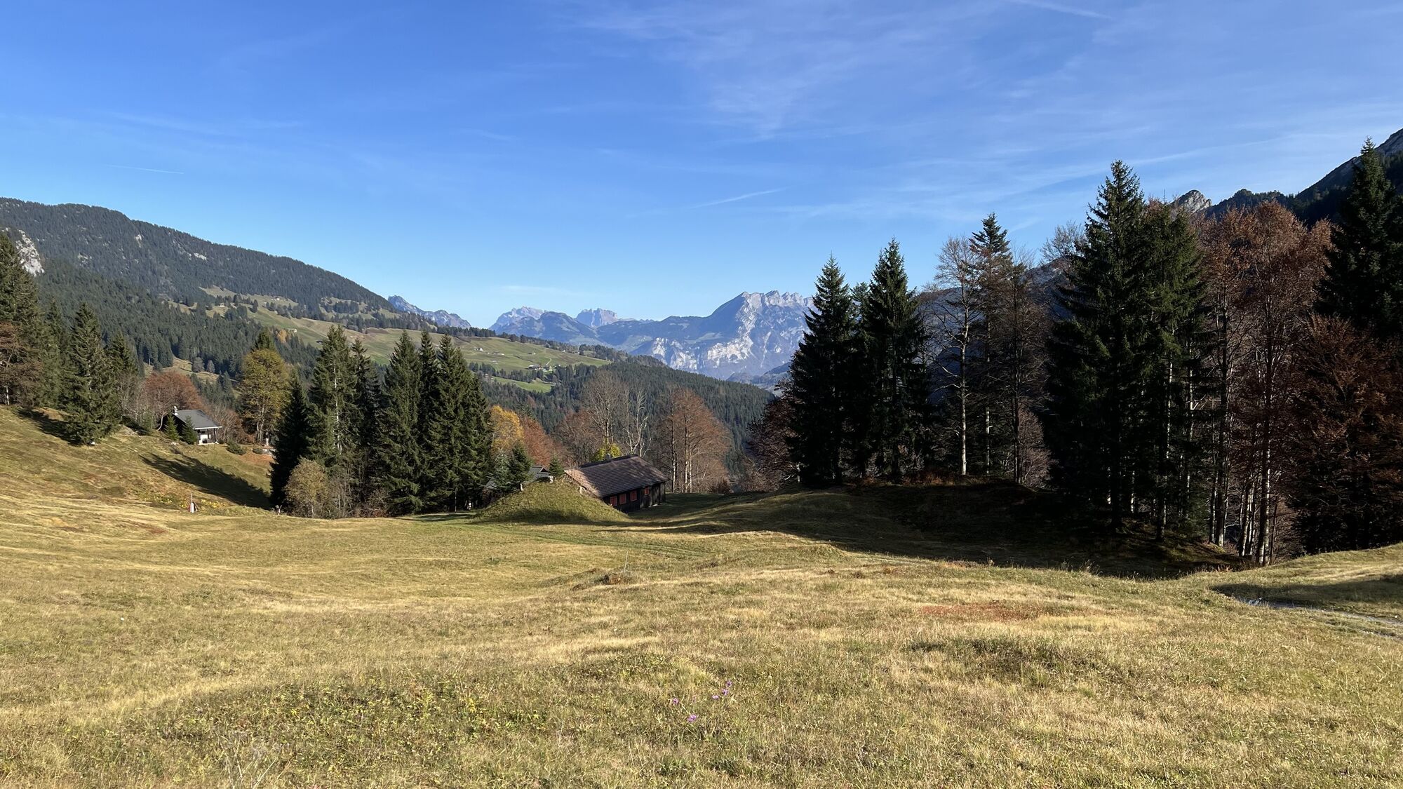
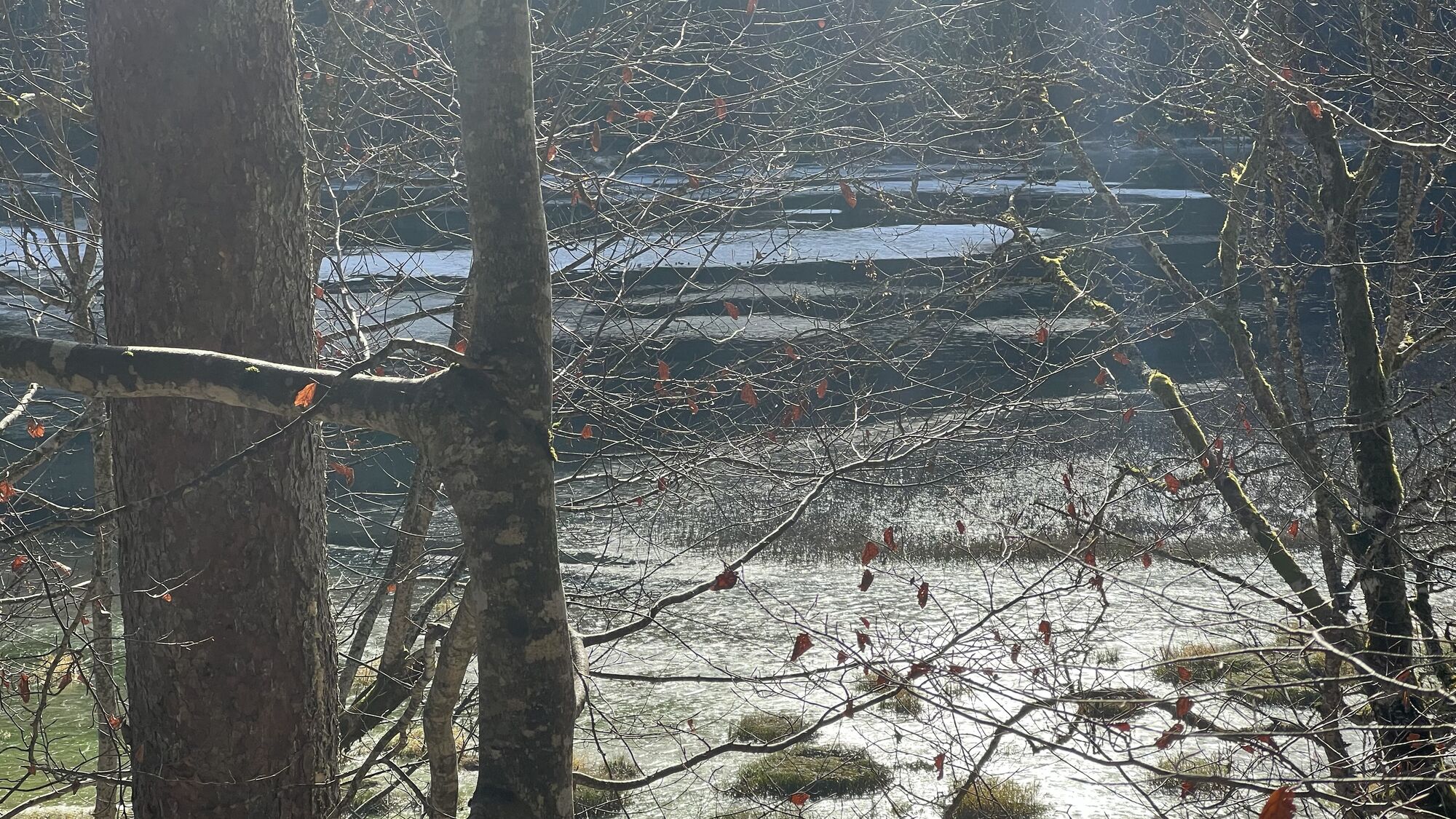
After crossing the Auenbach stream, the trail continues at the foot of the Brünnelistock through a rockfall area towards Sulzboden and down to Obersee.
Translated with DeepL.com (free version)

Populaire rondleidingen in de buurt
- 4,6
Riviera Lake Walen Weesen – Quinten
mediumWandelen10,2 km - 5,0
Chli Aubrig
lichtWandelen8,51 km - 4,5
Amden - Speer (Rundkurs)
lichtWandelen17,6 km - 3,3
Seerenbach waterfalls
lichtWandelen4,38 km - 5,0
Fronalpstock GL
mediumWandelen7,84 km - 4,2
Bockmattli
mediumWandelen12,4 km - 4,8
Vorder Glärnisch
mediumWandelen4,64 km Murgsee Runde
mediumWandelen16,2 km- 5,0
Klöntalersee
lichtWandelen14,5 km - 4,9
Quarten - Murgseehütte - Berggasthaus Murgsee - Glarus Nord
mediumWandelen14,7 km
Wandelen en spoorzoeken


Mis geen aanbiedingen en inspiratie voor je volgende vakantie
Uw e-mailadres is toegevoegd aan de mailinglijst.