


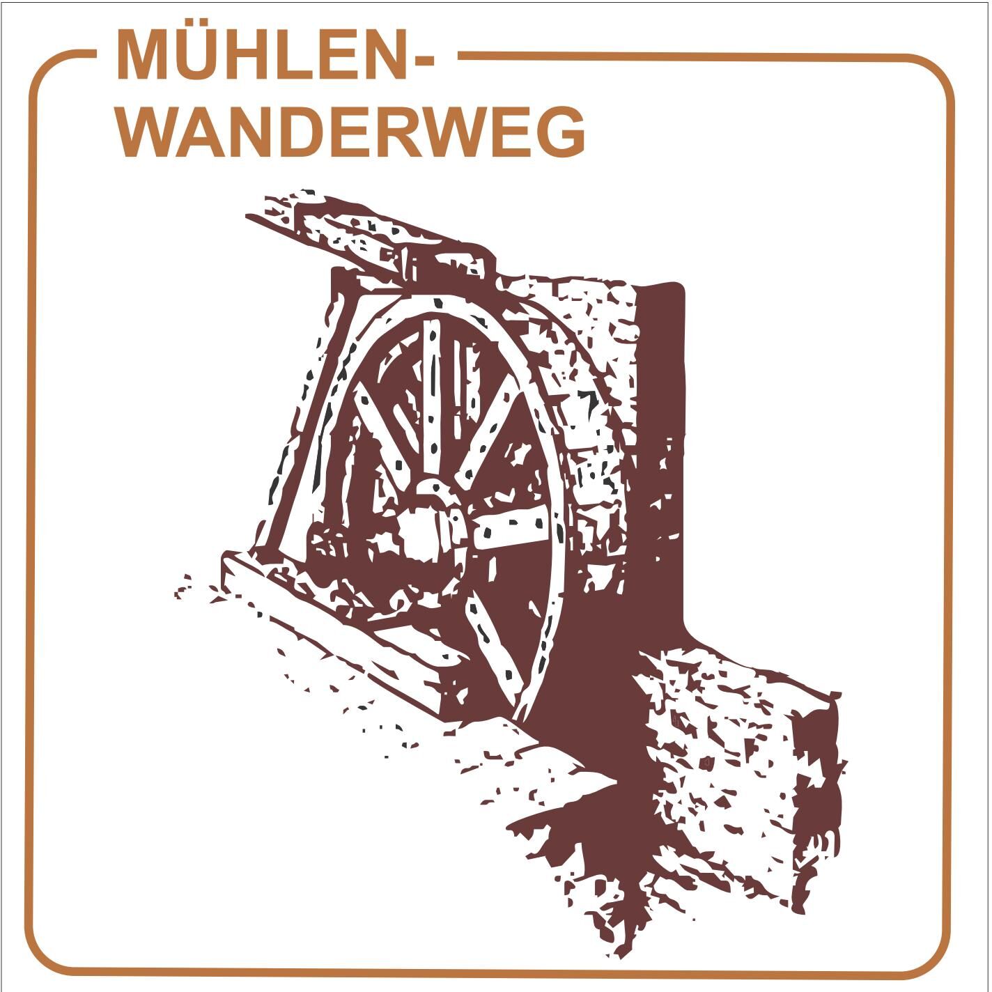
Mill hiking trail (Edesheim)


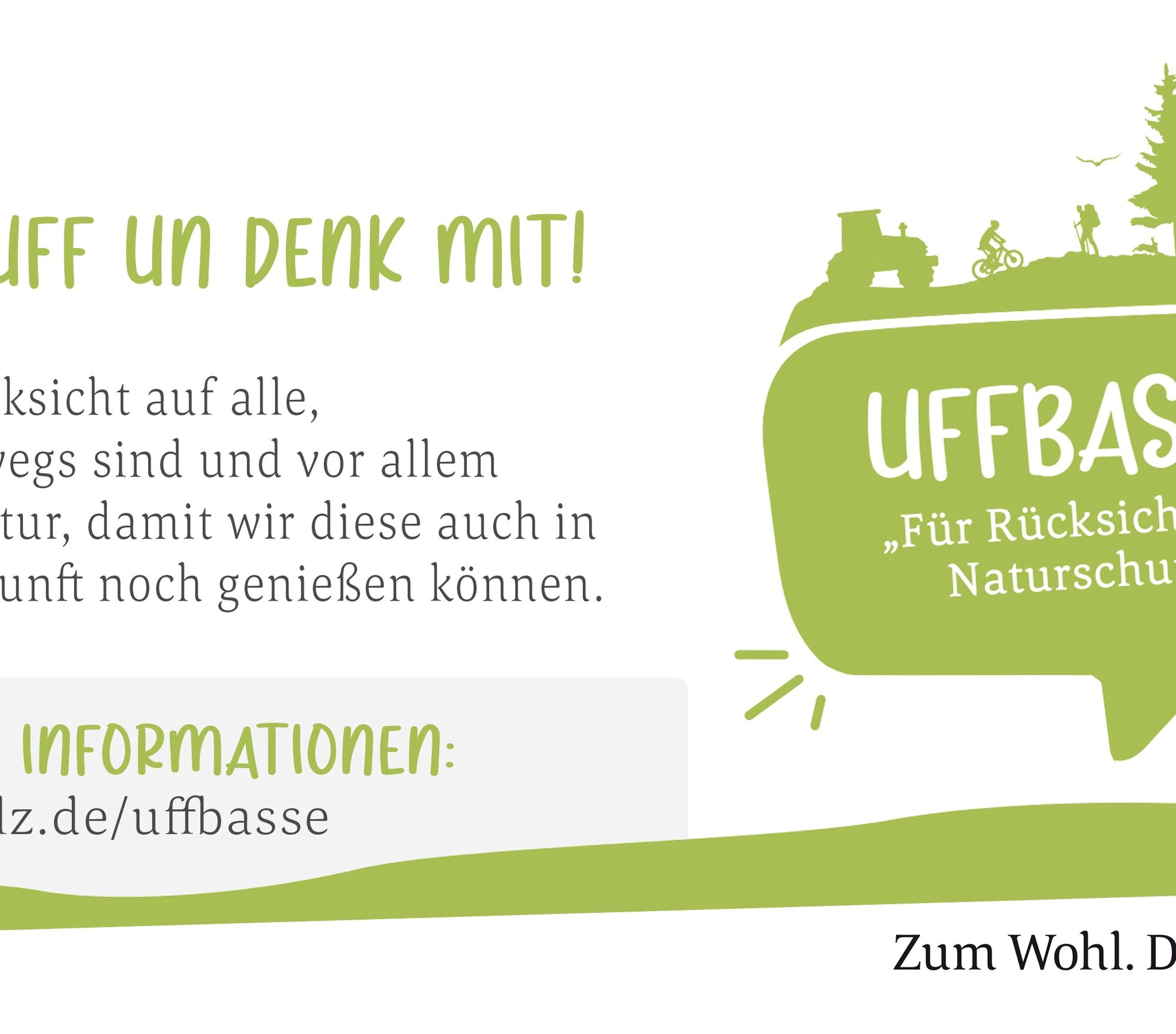
UFFBASSE! - Campaign for respectful coexistence in nature
Fire & smoking - Making fires, smoking, and grilling are strictly forbidden in the forest and must be avoided at all costs! Fires and thus severe...UFFBASSE! - Campaign for respectful coexistence in nature
Fire & smoking - Making fires, smoking, and grilling are strictly forbidden in the forest and must be avoided at all costs! Fires and thus severe damage to nature and wildlife can only be prevented this way. Be considerate while moving - Always behave considerately, friendly, and respectfully towards everyone you meet on your way. This is especially true on agricultural roads where vintners, farmers, and foresters work even on weekends. Nature conservation - Stay on the marked paths and avoid unnecessary noise when you are in nature. Leave the forest at the latest at dusk to not disturb the rhythm of nocturnal animals. Picnic & waste - Always carry a trash bag with you and take your rubbish back home. Use only the furnished rest areas for breaks and picnics. Leash dogs - Please always keep your dog on a leash. Other visitors and animals will thank you.
www.pfalz.de/uffbasse

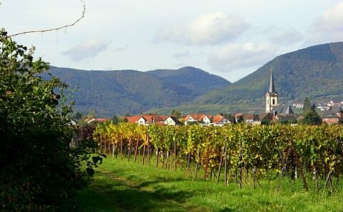
The starting point is in the village center, the parking lot by the church. The path leads to the village mill, whose grinding mechanism is still powered today by water power via a turbine. (The mill can only be visited by appointment). The small mill shop with a wide range of products is also recommended. Further along, the path leads to the former 'Upper Oil Mill', which was converted into the Wehr enamel factory around 1900. Passing the natural monument Erlenbrunnen, a sulfurous spring, you come to the Erlen Mill, an old coat of arms forge, converted into a grinding mill around 1500. Today, there is a winery there. Passing the Edesheim swimming pool, the hiking trail leads directly to Hainfeld, the baroque wine village. Hainfeld also once had a water castle, just like Edesheim. Around 1910, almost all mills in the Modenbach valley were shut down. Following the mill path further, you reach the Middle Mill in the middle of the sea of vineyards. Today there is a private artistic sculpture park. And you always keep your eyes on the fertile slopes of the Haardtrand mountains, the vineyards, and the places with castles and palaces. In the Burrweiler mill, a former grain mill, there is a winery and a restaurant, in summer with romantic seating areas by the pond. This is where the mill hiking trail ends. You can take the bus back from the village center of Burrweiler or enjoy the view into the Rhine Plain on the way back on foot.
For our hiking routes, we recommend the following standard equipment:
Sturdy footwear Weather-appropriate clothing Sun and rain protection A sufficient supply of food and drinks, as not everywhere has catering or shopping facilities available or open. Even though the paths are very well marked throughout, it is advisable for safety reasons to always carry a suitable hiking map so that you can quickly find a safe area, for example, during a thunderstorm or an emergency.
Hiking on natural paths and trails - Especially in autumn, be aware that fallen leaves on the ground can cover unevenness, roots, stones, or holes in the path. After thunderstorms or rainstorms, trees can still fall or branches fall afterwards. In adverse weather conditions, natural paths can have muddy and slippery sections. Not all rocks or precipices are secured with ropes or railings. Sure-footedness is required in places. You must expect such path impairments when you undertake a hike. If you think that certain sections of the path are not passable for you, you should bypass them. Despite the "unmissable" marking of the premium hiking trails, for safety reasons, we always recommend carrying an appropriate hiking map to quickly find a safe area in case of, for example, a thunderstorm or an emergency. Blockades and detours must be observed without fail.
Hazard situations - In an emergency, quick help is necessary. And even though mobile phones can send GPS signals, at the classic rescue points it is often fastest. These are located at places easily accessible for rescue vehicles. Remember the points with green signs and a white cross. In case of emergency, return there and provide the number on the sign when calling for help. This way, rescuers know where to find you.
A 65 exit Edenkoben, state road to Edesheim
By train directly to Edesheim station.
By train to Edenkoben station, Landau main station, or Neustadt main station and from there continue by bus line 501 to the Edesheim "School" stop.
At the church in the village center
Please park only in the designated parking spaces and always keep access routes for emergency vehicles as well as work paths in the forest and vineyards clear. There are explicitly designated motorhome pitches for overnight stays in campers & caravans.
Südliche Weinstraße Edenkoben Association e.V.
Poststraße 23, 67480 Edenkoben
Tel.: 06323-959222
www.garten-eden-pfalz.de
Populaire rondleidingen in de buurt
-
5,0
Annweiler Richard-Löwenherz-Weg
zwaarWandelen 13,1 km -
5,0
Pfälzer Hüttentour
zwaarWandelen 18,5 km -
4,0
Annweilerer Burgenweg
mediumWandelen 7,72 km -
4,8
Annweiler - Kaiser-Friedrich-Weg
mediumWandelen 9,53 km -
4,3
Van vooruitzien naar vooruitzien
mediumWandelen 9,72 km -
Ramberg - Drei Burgen Weg
mediumWandelen 17,2 km -
Pfälzer Weinsteig Etappe 5: Neustadt an der Weinstraße - St. Martin
zwaarlangeafstandswandelpad 19,8 km -
Pfälzer Weinsteig Etappe 4: Deidesheim - Neustadt a. d. Weinstraße
zwaarlangeafstandswandelpad 19,9 km -
4,0
Palatinate Hut Route - Short southern route with 3 huts
mediumWandelen 10,5 km -
Drei Burgenweg in Erfenstein
mediumWandelen 7,30 km
Wandelen en spoorzoeken


Mis geen aanbiedingen en inspiratie voor je volgende vakantie
Uw e-mailadres is toegevoegd aan de mailinglijst.