


PERL 100
Moeilijkheidsgraad: S3


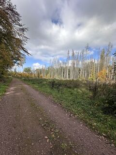
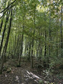
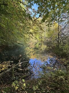
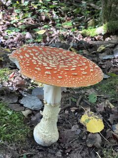
Foto's van onze gebruikers
-

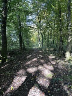
 © Jörg DetmerGemaakt op 12.10.2025
 -
 © Jörg DetmerGemaakt op 12.10.2025
 -
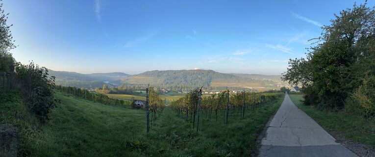
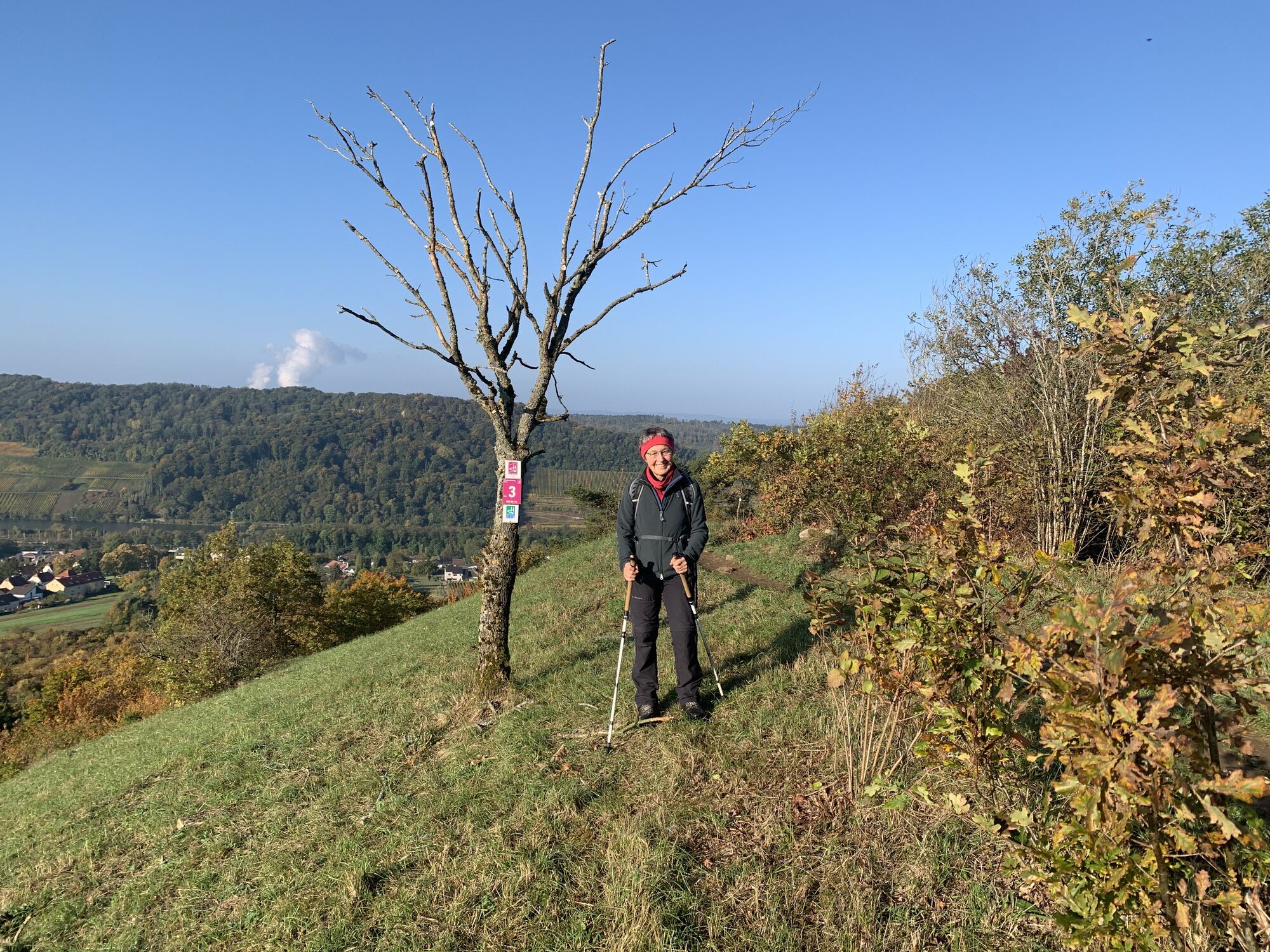
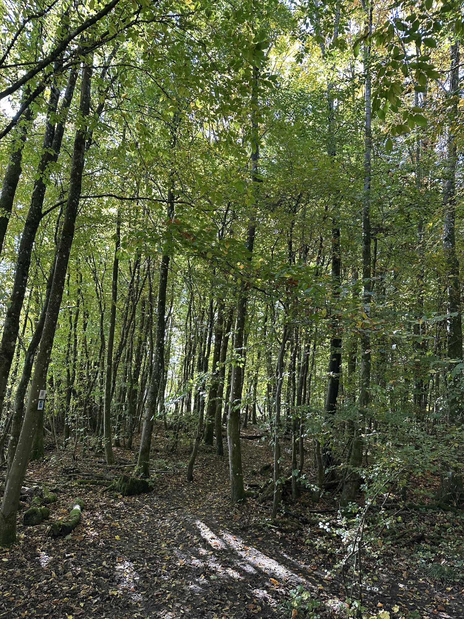
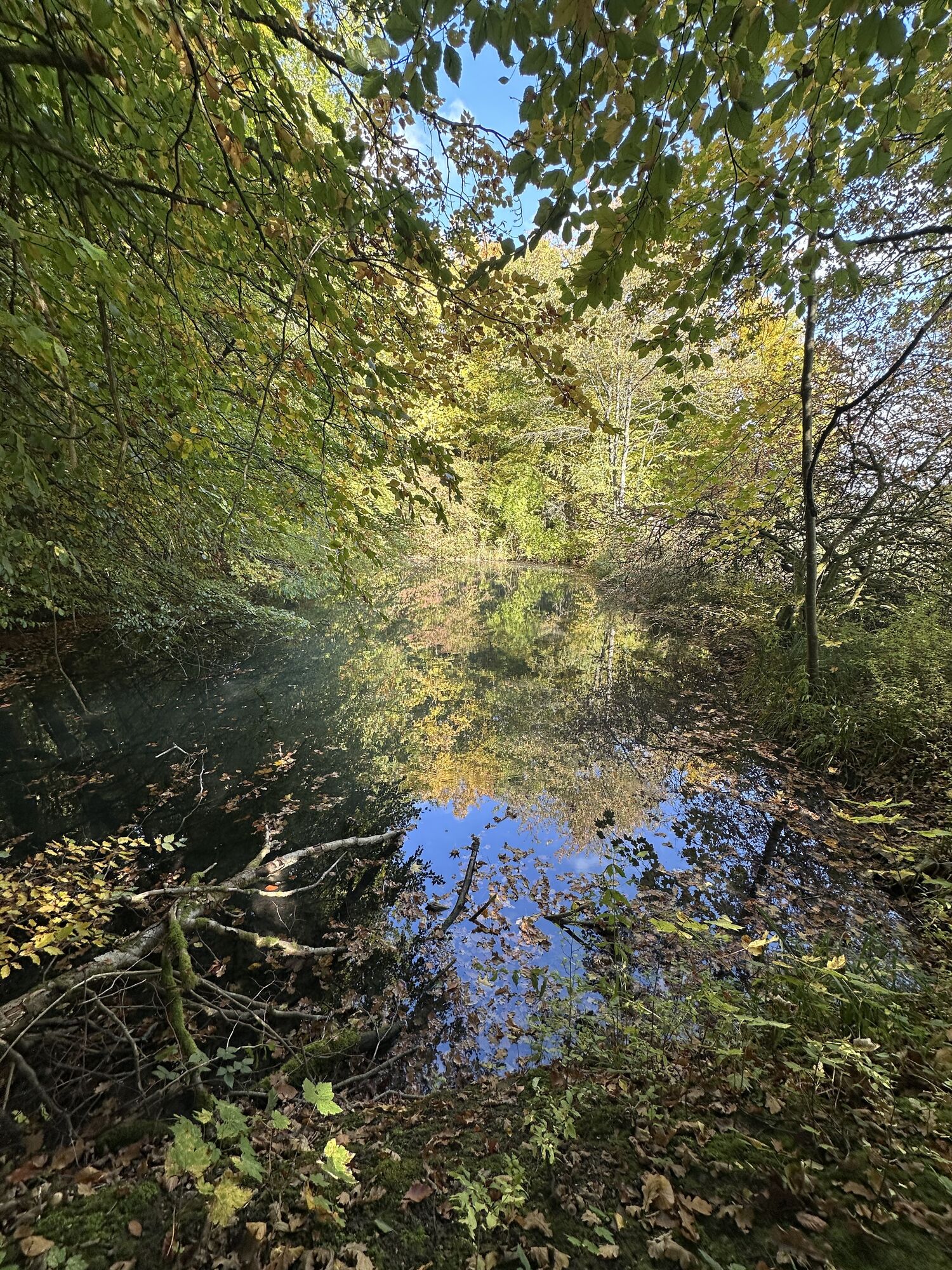
 © Gilles EngelGemaakt op 11.10.2025
 -
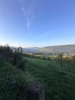
 © Gilles EngelGemaakt op 11.10.2025
 -
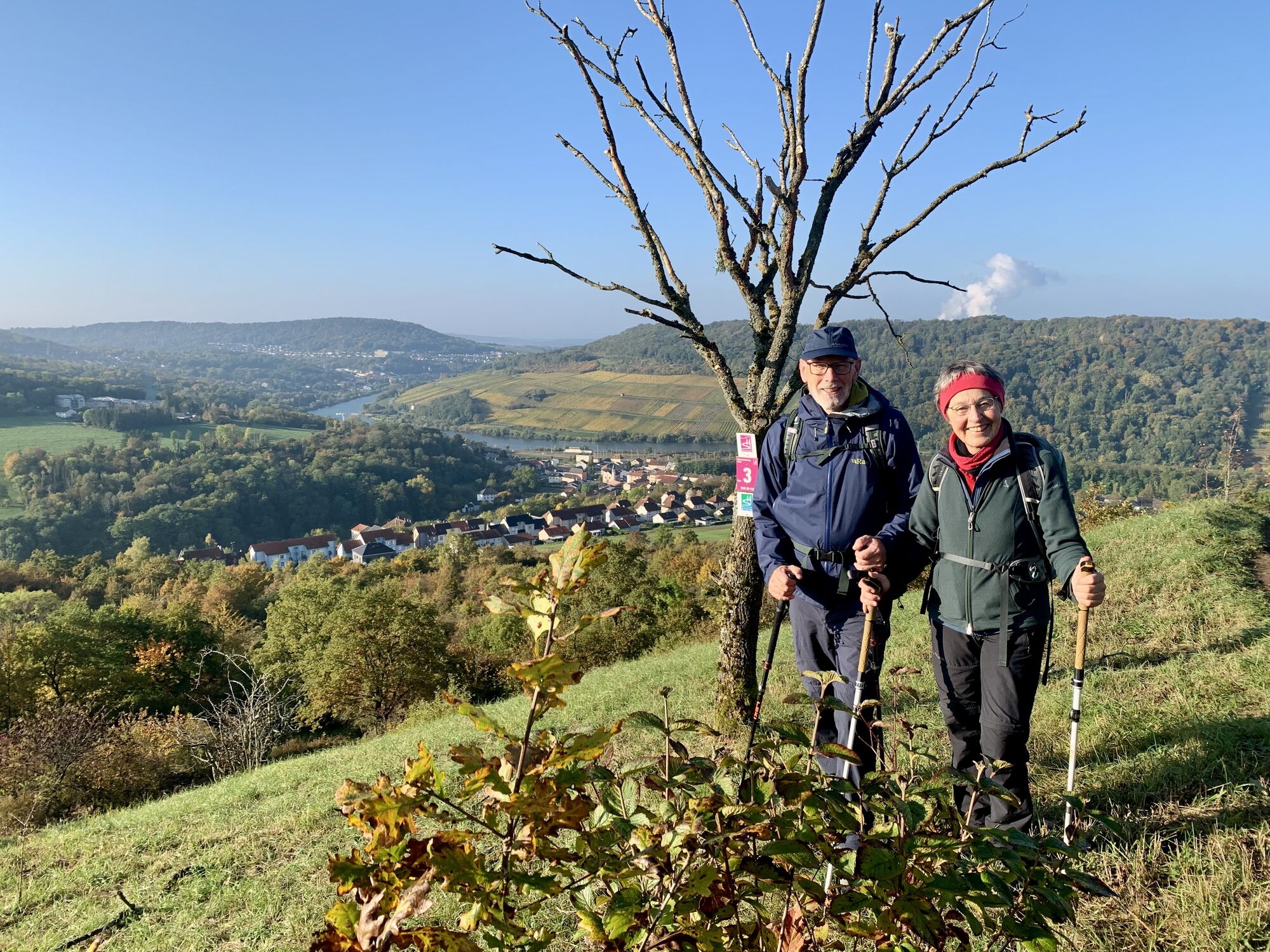
 © Gilles EngelGemaakt op 11.10.2025
 -
 © Gilles EngelGemaakt op 11.10.2025
 -
 © Gilles EngelGemaakt op 11.10.2025
 -
 © Gilles EngelGemaakt op 11.10.2025
 -
 © Gilles EngelGemaakt op 11.10.2025


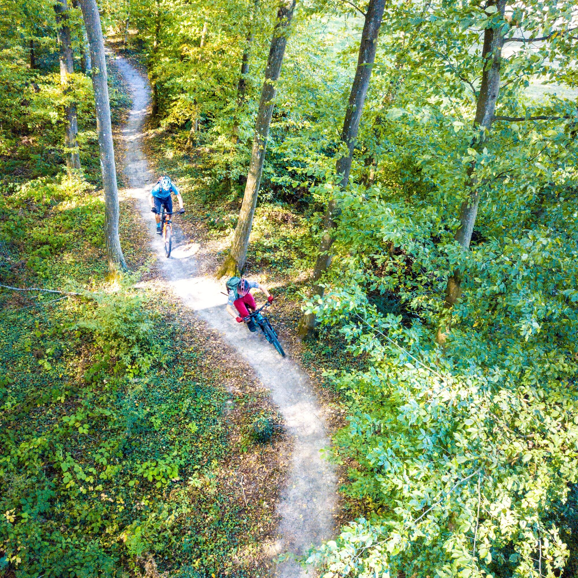
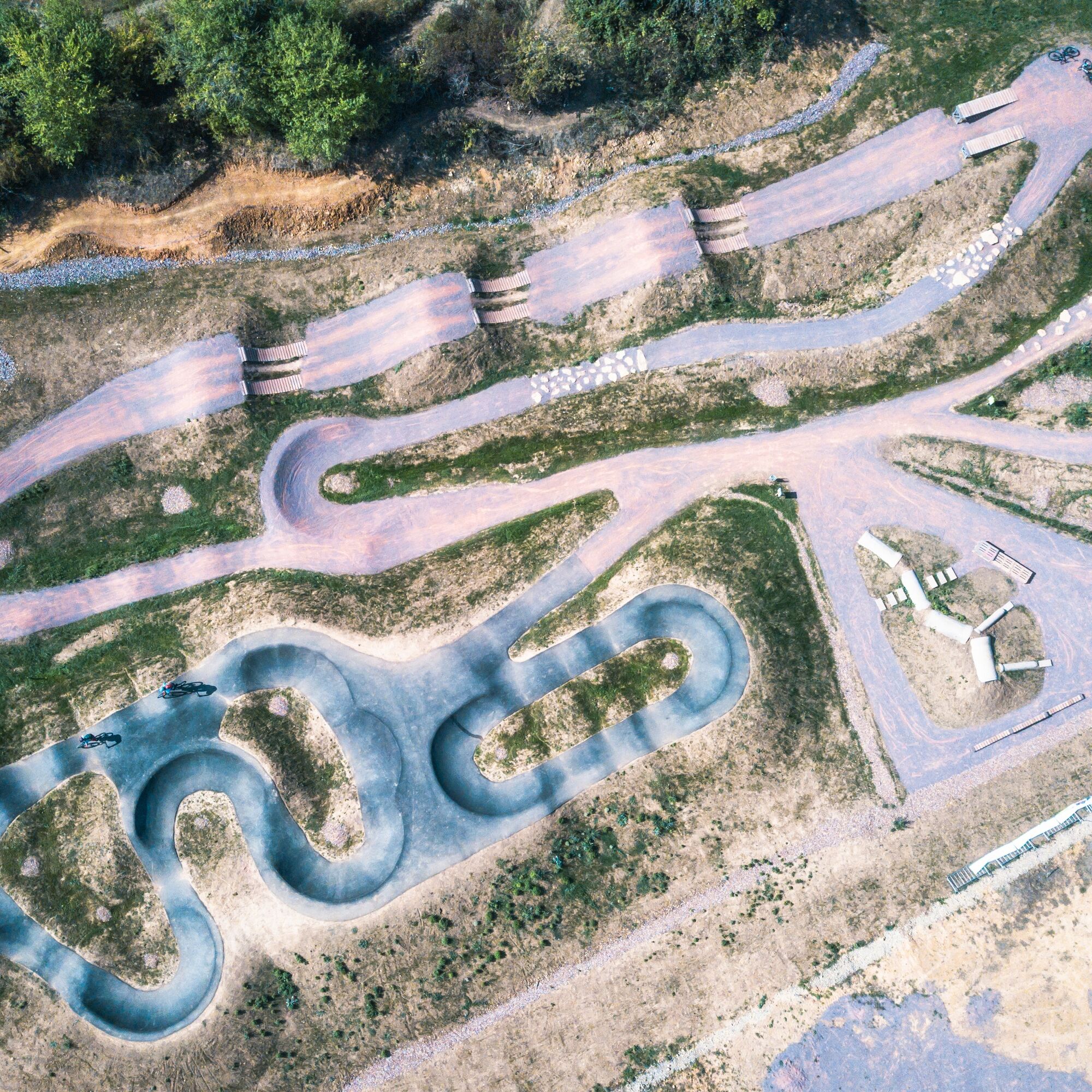
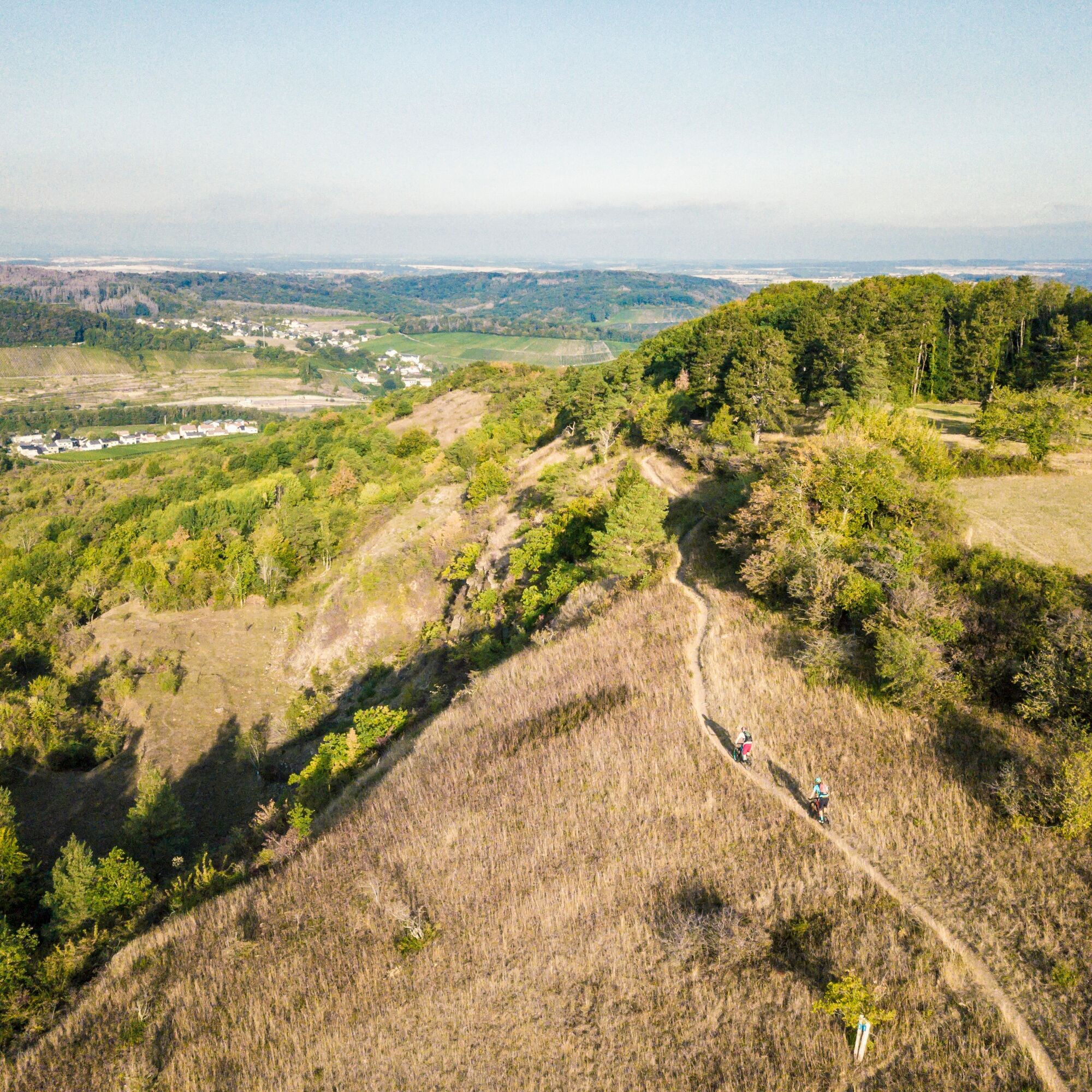
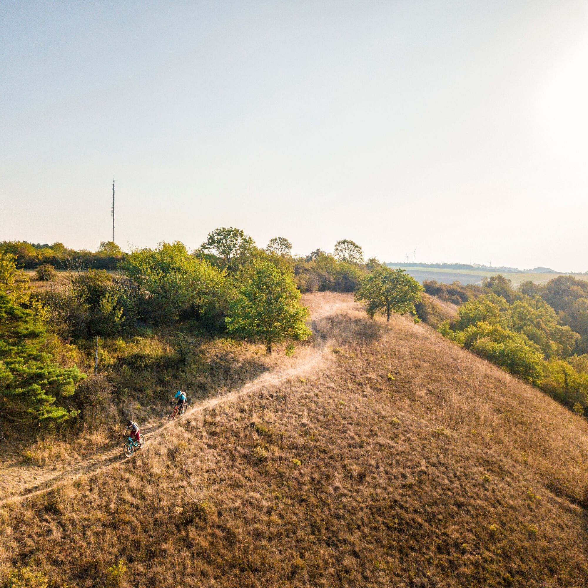
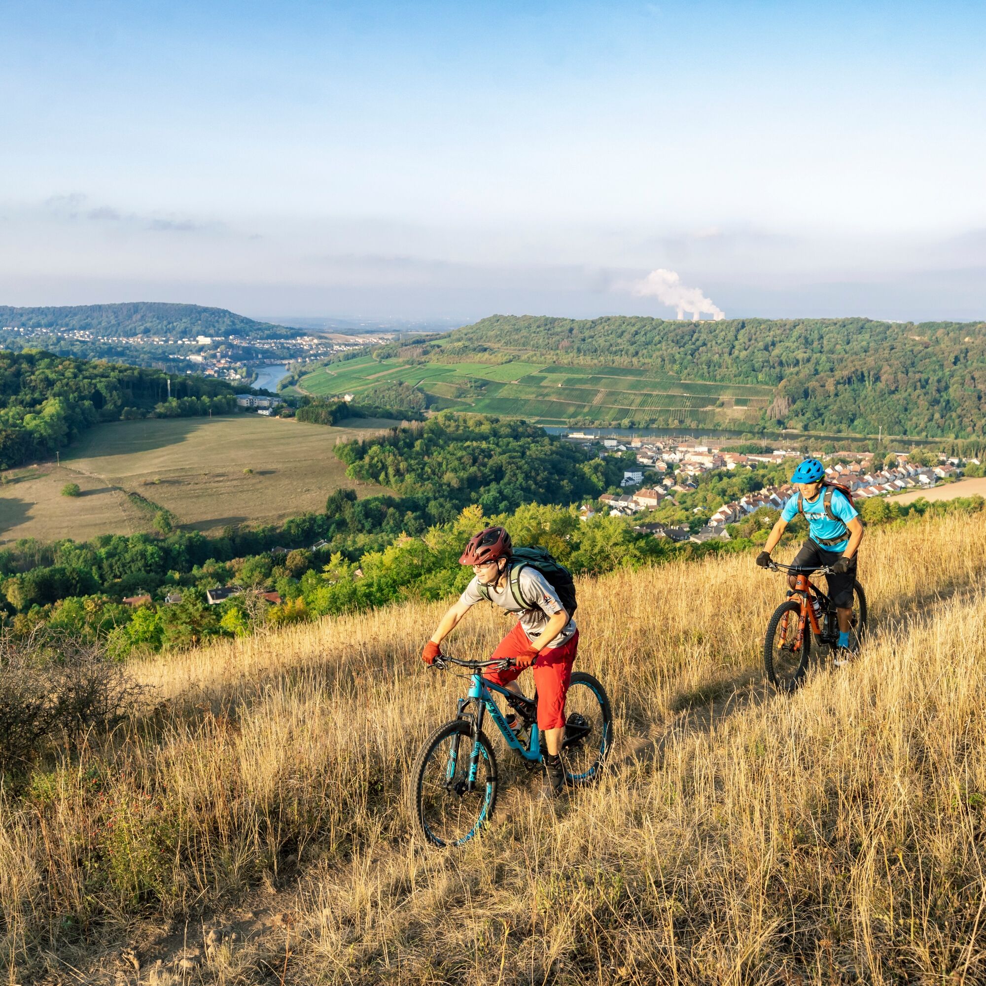
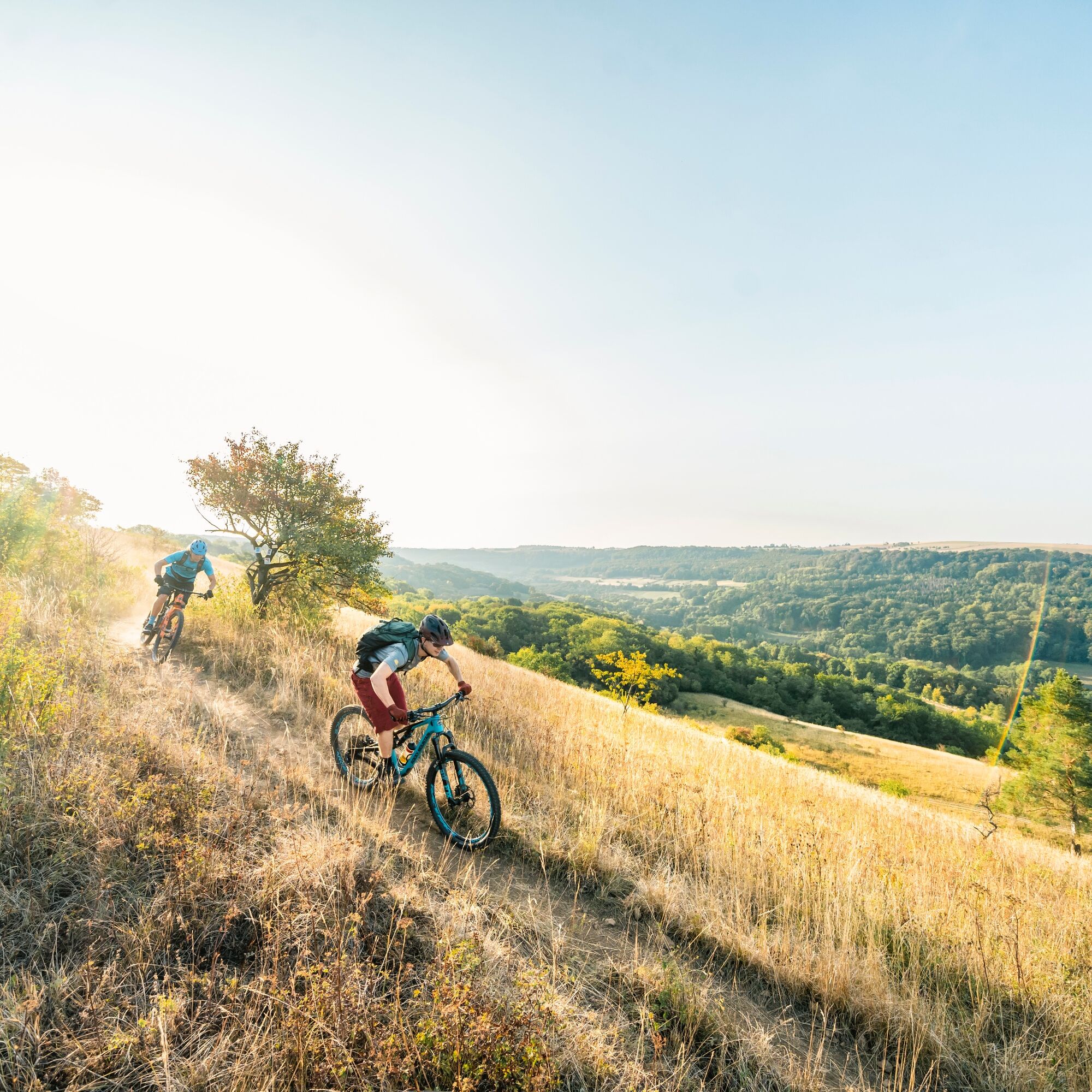
Unlimited trails, sharp turns, exciting jumps, and a very special bike facility. The municipality of Perl in the Dreiländereck Saarland, Luxembourg, France is developing into a genuine mountain bike hotspot.
7...
Unlimited trails, sharp turns, exciting jumps, and a very special bike facility. The municipality of Perl in the Dreiländereck Saarland, Luxembourg, France is developing into a genuine mountain bike hotspot.
7 plus 1
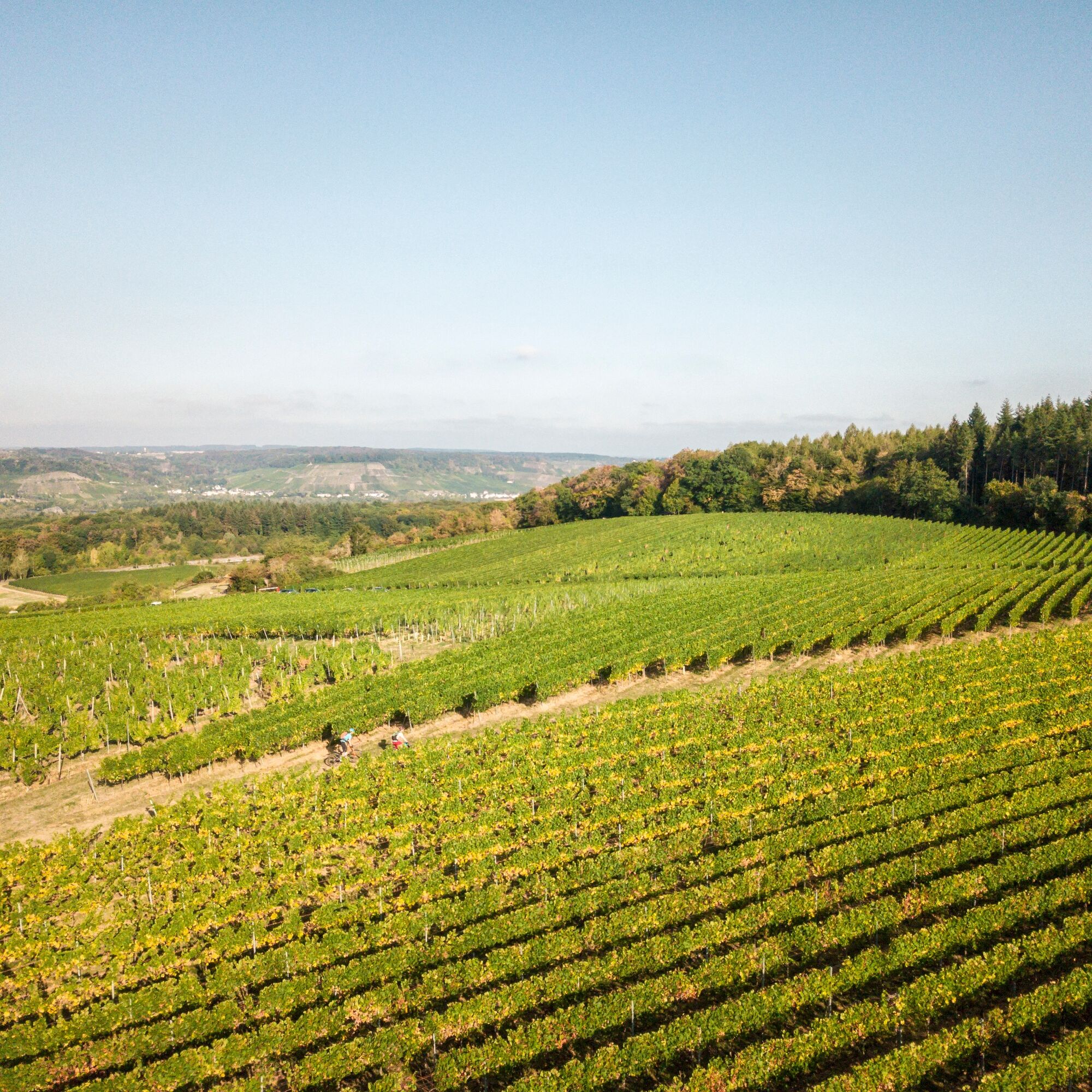
In 7 (MTB) plus 1 (Gravel) different variants, we would like to guide you on our signposted PERL BIKE routes through the Dreiländereck and its history. We present our natural and cultural landscape as well as our tourist highlights in a sporty summary. The roadbook features our local forests, orchards, and vineyards - and of course also historical sites such as the former Höcker line, the mosaic in Nennig, the Roman Villa Borg, or the Renaissance Castle Berg.
Start in Perl
The basis of our routes is the PERL 100 circuit with just over 100 kilometers. All other variants are sections and shortcuts of this route. The approximately 80 kilometer-long gravel variant avoids difficult, steeper, and blocked trails and can therefore generally also be used as an easy variant with a mountain bike.
Our 7 MTB routes and our gravel circuit start in Perl at the mountain bike facility. Another access point for all routes can be found in Borg directly at the parking lot at the Kuhampel. All routes are marked with the well-known marking sign (orange triangle + 2 circles). We still recommend using a GPS device with the respective track. Unfortunately, we are not immune to vandalism, manipulation, and theft of signs. If you notice any discrepancies, please report them to us as soon as possible.
The route number gives an indication of the approximate length of the route. The colors black-red-blue-green indicate the overall demand (fitness, riding technique, etc.) of the route. Since these assessments are always very individual and depend on personal training condition, skills, and also equipment, we refrain from more detailed specifications of the difficulty level.
Ja
S3
Populaire rondleidingen in de buurt
-
5,0
Saarschleife Tafeltour
zwaarWandelen 16,5 km -
4,0
Panoramaweg Perl
mediumWandelen 11,5 km -
5,0
Traumschleife Kastel-Staadt Felsenpfad
zwaarBergwandelen 10,2 km -
Moselsteig etappe 02: Palzem – Nittel
mediumlangeafstandswandelpad 16,4 km -
5,0
Wehinger Viezpfad
zwaarWandelen 14 km -
4,7
Cloefpad
mediumWandelen 8,03 km -
5,0
Saarschleifen Classic Round
mediumFietsen 31,6 km -
4,0
Montclair Tafeltour 01.08.2021
lichtWandelen 9,17 km -
4,0
Saar-Hunsrück-Steig - 01. Etappe: Perl - Hellendorf
mediumlangeafstandswandelpad 16,9 km -
Moselsteig etappe 01: Perl – Palzem
zwaarlangeafstandswandelpad 23,6 km
Wandelen en spoorzoeken


Mis geen aanbiedingen en inspiratie voor je volgende vakantie
Uw e-mailadres is toegevoegd aan de mailinglijst.