


PLAYFUL HIKING ON THE ‘Animal Carving Trail’


The playful hiking trail on the ‘Animal Carving Trail’ is the perfect family experience, especially on hot summer days. Eight new nature play stations await you. Here you will find ideas, including instructions...
The playful hiking trail on the ‘Animal Carving Trail’ is the perfect family experience, especially on hot summer days. Eight new nature play stations await you. Here you will find ideas, including instructions and tips on how to make your hike entertaining with simple nature games. Simply scan the QR code of the respective station and follow the instructions.

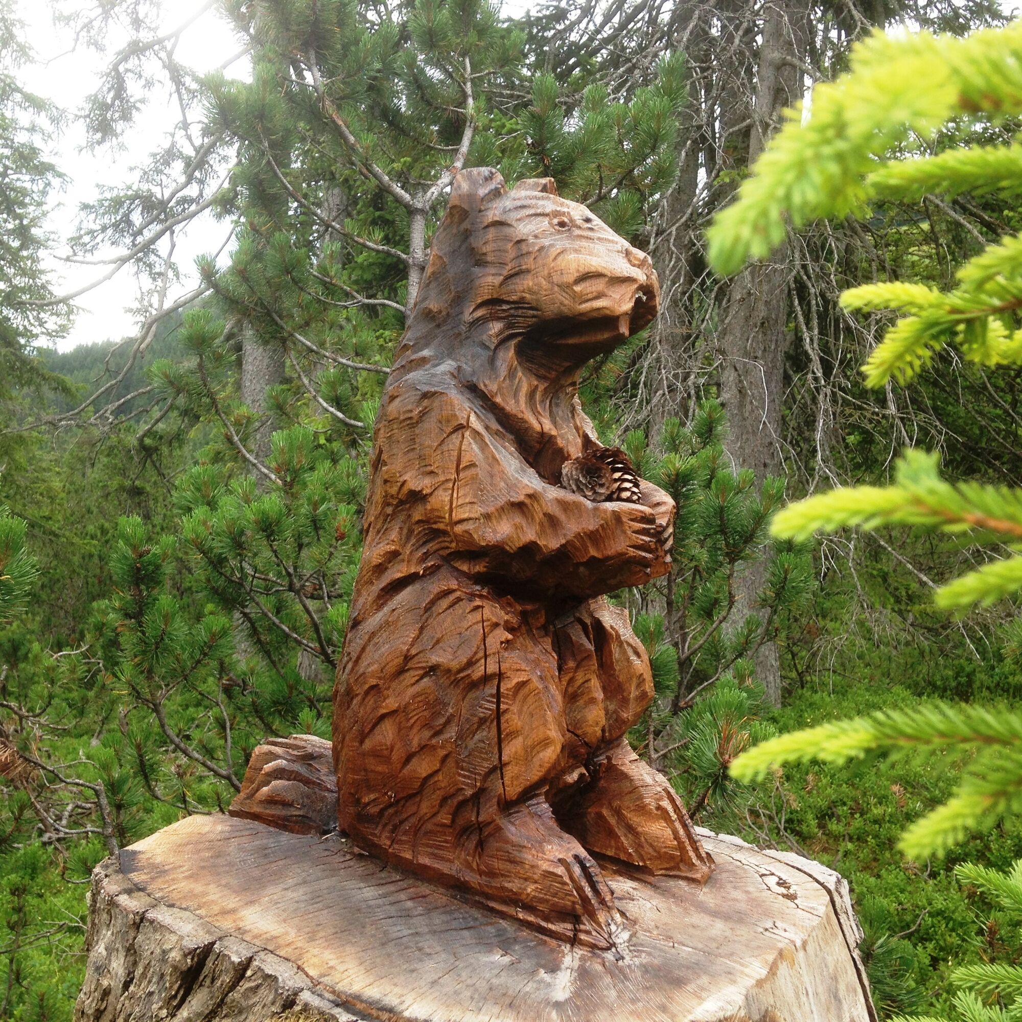
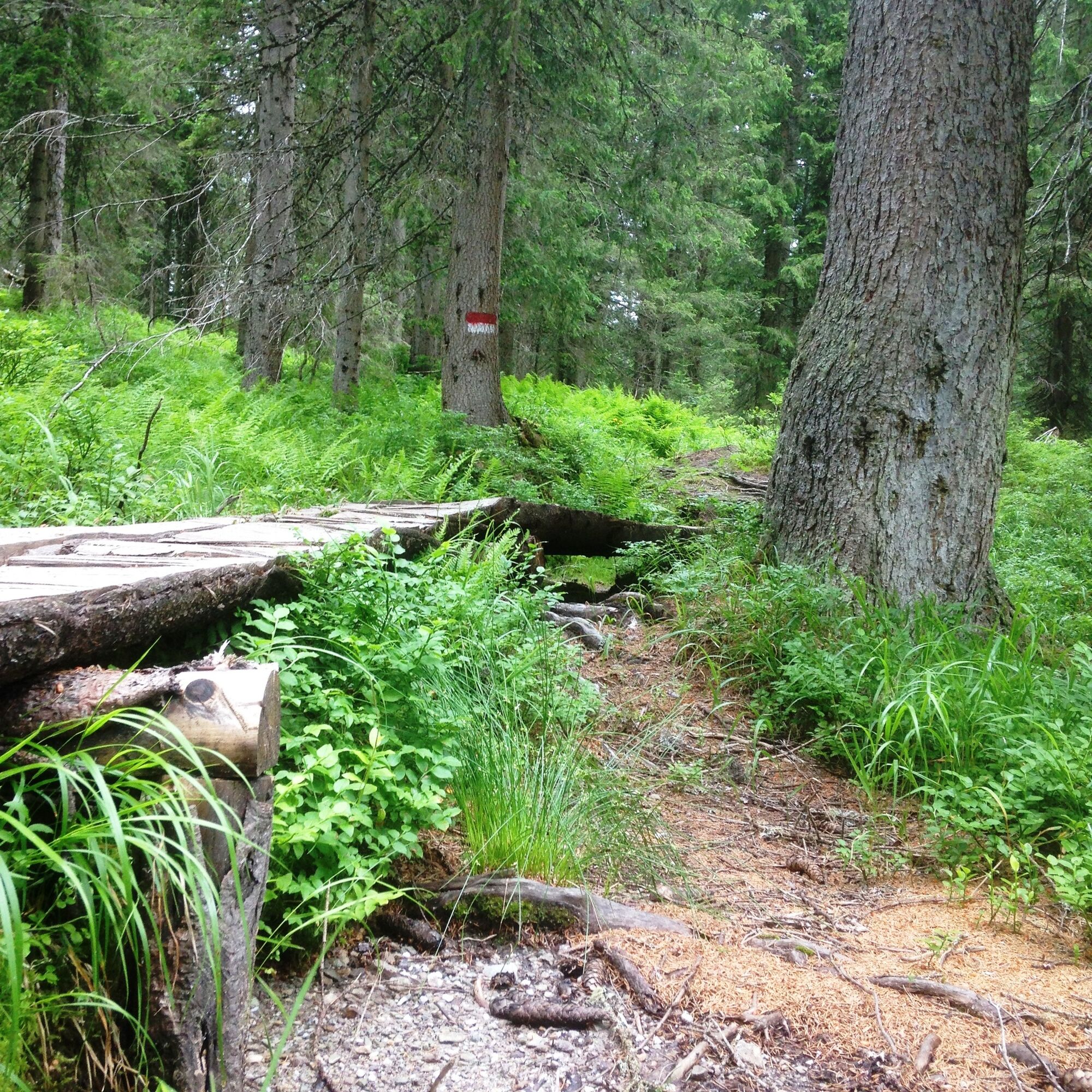
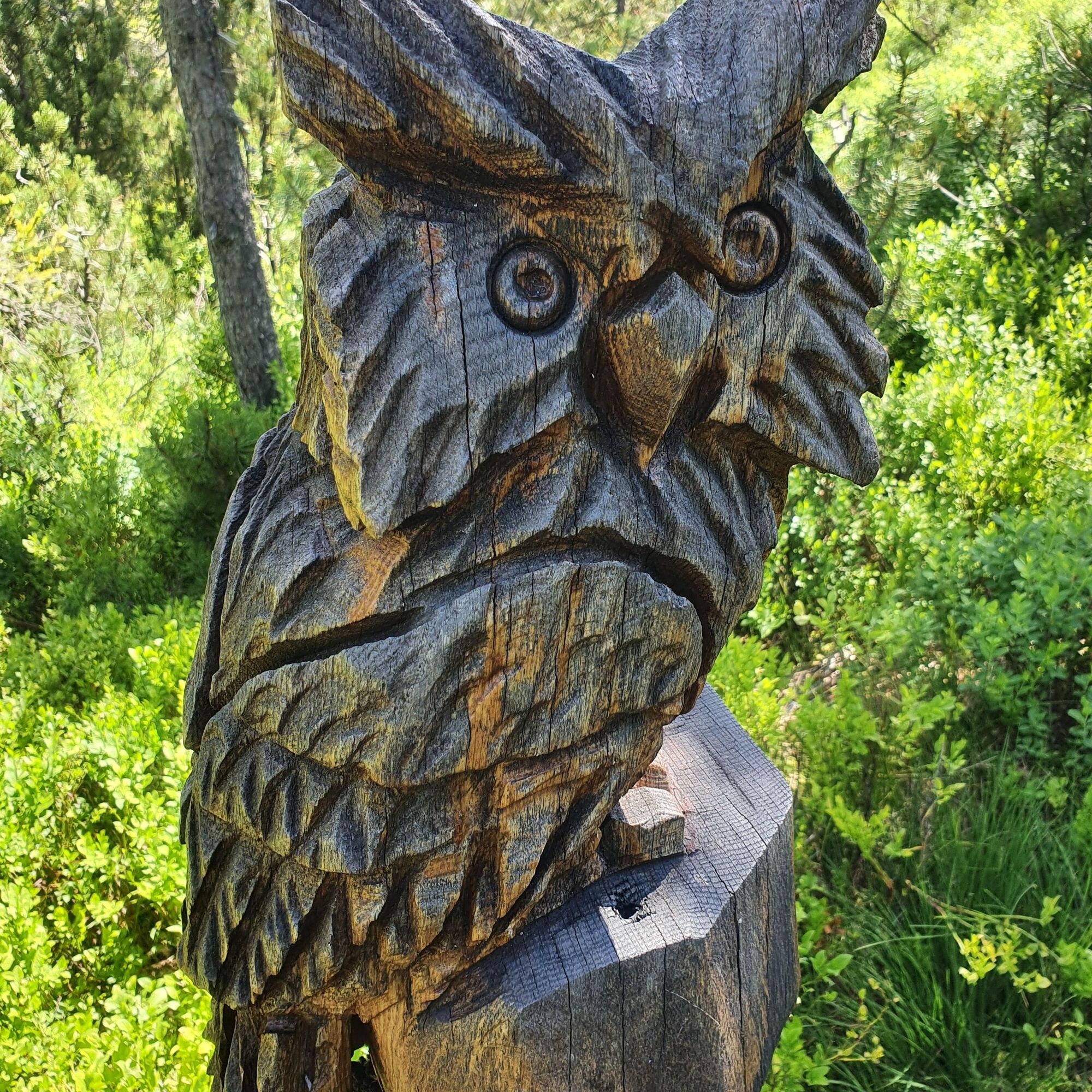
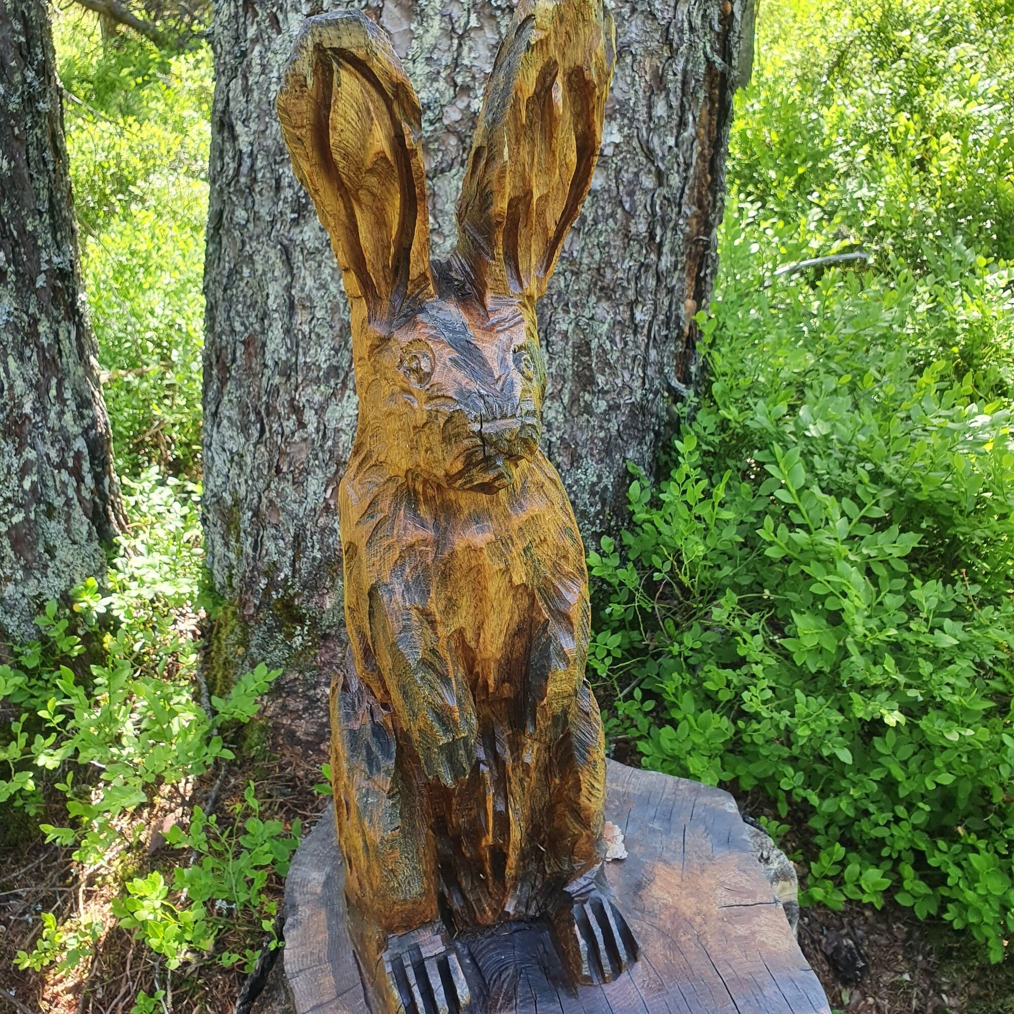
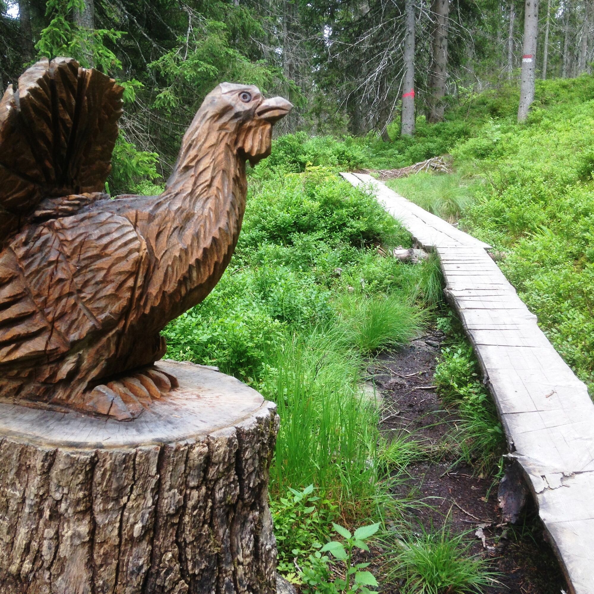
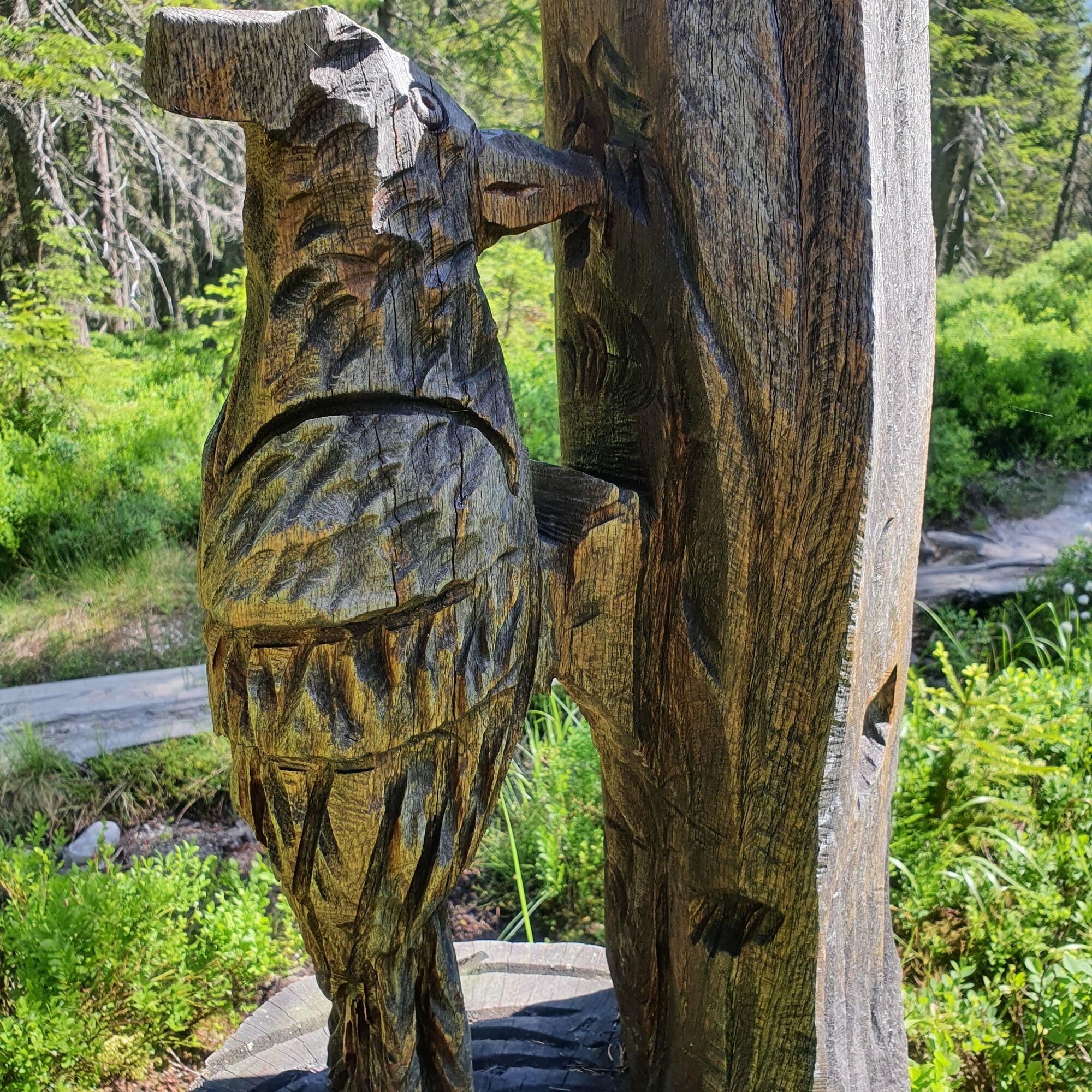
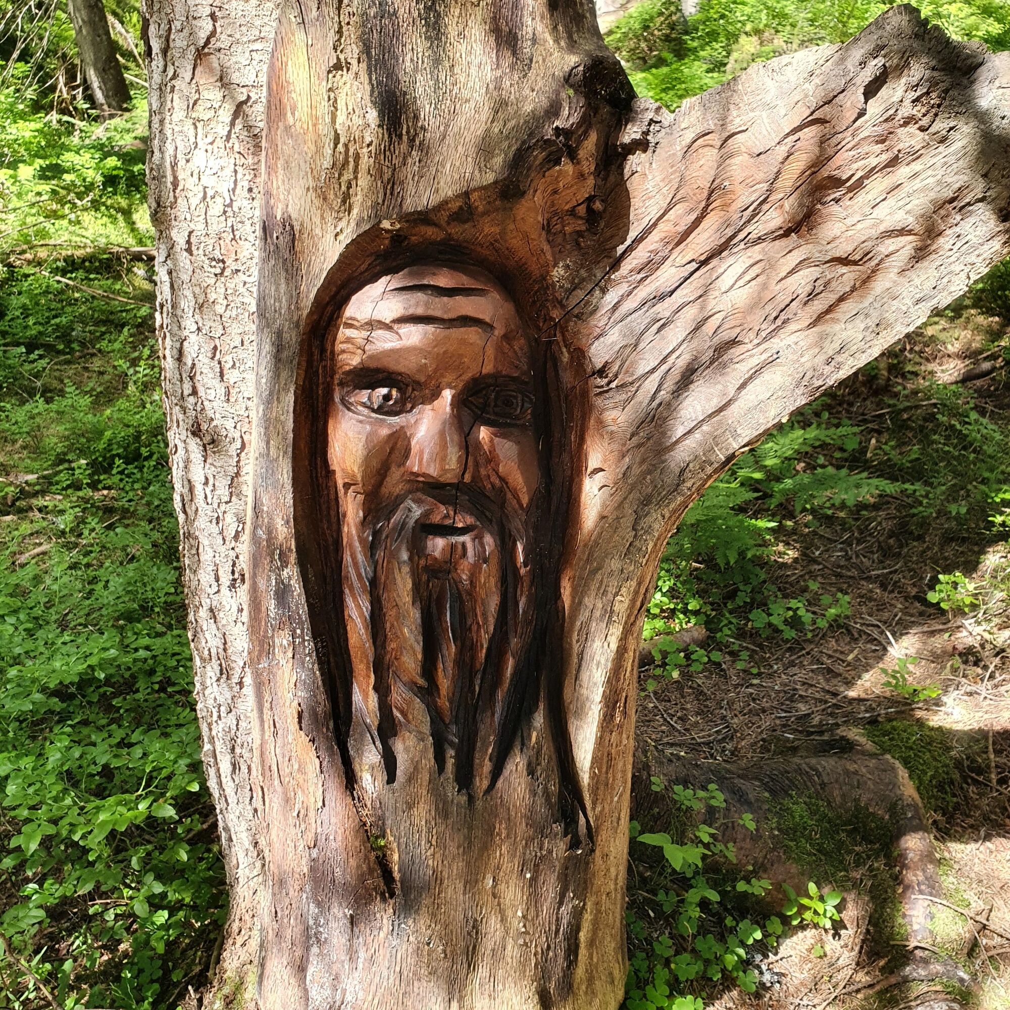
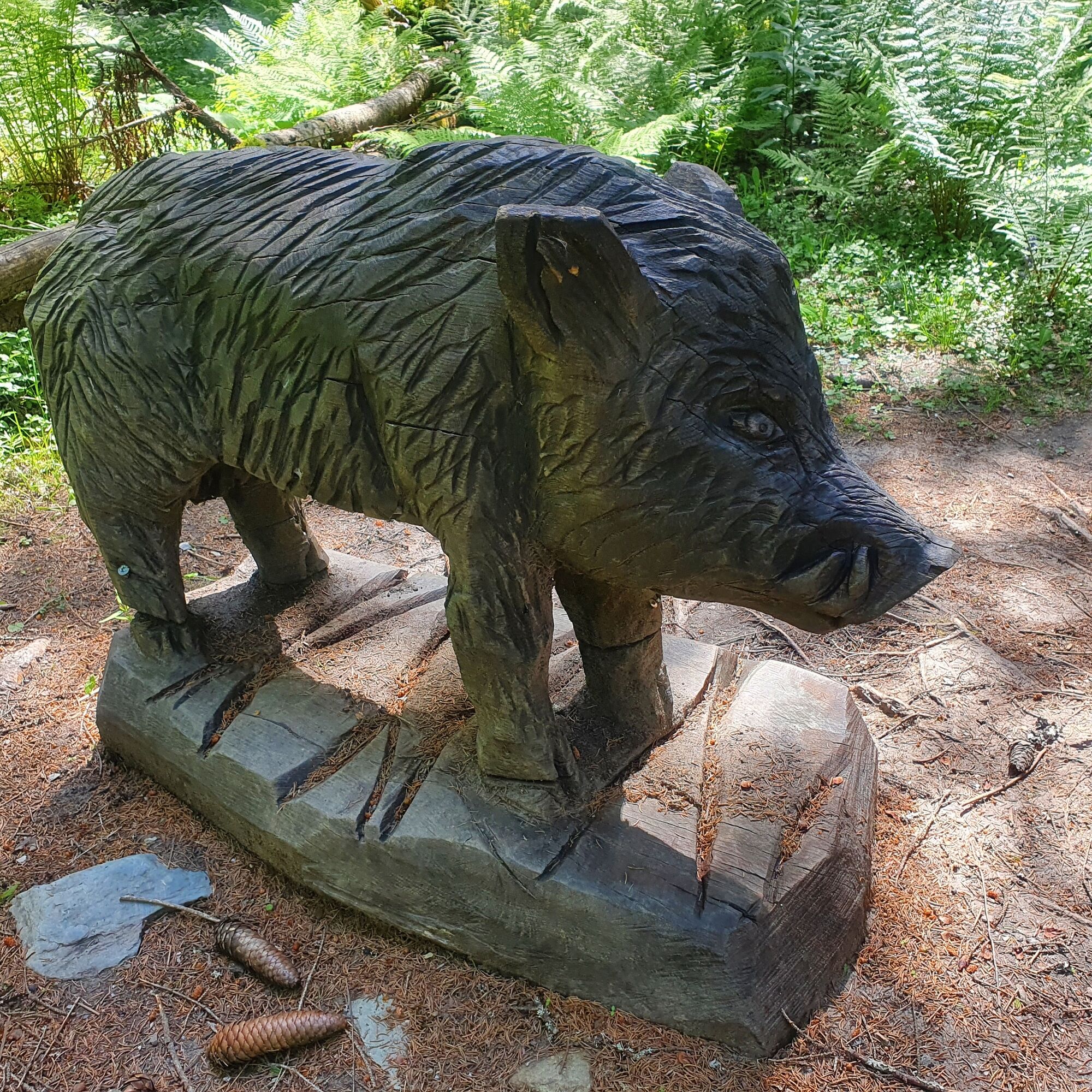
This playful hiking trail has a lot to offer: Water, a stream, cotton grass fields, forest, mosses, huckleberries, hidden wooden animals and, you'll be pleased to hear, it's also easy for smaller children to manage. The first section of the trail runs alongside a natural stream, where there is so much to discover. And the best thing is: playing by the stream bed is the order of the day here. The forest, which is also home to hand-carved animal figures, is very mystical, dense and very green until midsummer, as the ground here is very rich in water. At times you walk over wooden planks through mosses, grasses and knee-high blackberry bushes. On hot summer days, the forest is pleasantly cool, in autumn it glows in all its autumn colours - the animal carving trail is always the right choice.
Ja
Ja
Sturdy, ankle-high footwear
Hiking clothing
Hiking poles
Headgear
Sun protection and sunglasses with UV protection
Rain protection
Drinks and a small snack
Necessary medication
First aid kit
Hiking map
self-assessment: Check your physical fitness before every mountain tour and correctly assess your strength and that of your companions - especially your children! Surefootedness and a head for heights are often very important!
planning and preparation: Plan every intended mountain tour in advance. Hiking maps and guides as well as information from alpine clubs and local experts such as mountain guides and hut keepers can be helpful.
equipment: On the mountain, you need appropriate equipment and clothing, especially sturdy, high footwear with a non-slip sole. Weather and cold protection are essential, as the weather can often change unexpectedly.
weather forecasts: Check the current weather conditions at: www.zamg.at or www.uwz.at.
togetherness: Observe the 10 rules for the correct handling of grazing animals and do not leave any waste in nature!
do not kick stones: Do not step on stones, as this can seriously endanger other hikers. Marked places where there is a risk of falling rocks should be crossed as quickly as possible and with attention and caution.
turn back in good time: This is not a disgrace, but a sign of common sense. It becomes necessary when the weather changes, fog sets in, and also when the path is too difficult or not in good condition.
emergency numbers: Alpine emergency number: 140, International emergency number: 112, Rescue: 144
Anreise von Salzburg kommend: Auf der Autobahn A10 bis Ausfahrt Bischofshofen, dann auf der B311 in Richtung Bischofshofen. Der Hochkönig Bundesstraße/B164 nach Mühlbach folgen. Weiter auf der L246 Richtung Arthurhau (kurz unterhalb befindet sich der Parkplatz Kopphütte)
Anreise von Innsbruck/ Kufstein kommend: Auf der Loferer Straße/B178 Richtung St. Johann i.T., dann über die Hochkönig Bundesstraße/B164 über Saalfelden und Maria Alm nach Mühlbach. Weiter auf der L246 Richtung Arthurhaus.
Parkplätze direkt am Dientner Sattel.
Further information on hikes and activities in the Hochkönig region:
For detailed information about hiking maps, the opening hours of the cable cars and the huts and mountain pastures in summer, we recommend you visit the local service centre. There you will not only receive the hiking map, but also valuable tips on the best hiking routes and current conditions.
Opening hours of the mountain lifts in summer: The mountain lifts offer different opening hours during the summer months, which can vary depending on the weather and season. Please check the current operating times in advance.
Opening hours of huts & mountain huts in summer: The huts and mountain huts in the region are ideal rest stops for hikers. Here, too, opening hours may vary depending on the season and day of the week. Ask the friendly hosts for advice about the offers and specialities on site.
For more information, please visit our website: www.hochkoenig.at.
If you have any questions or require specific information, please do not hesitate to contact us:
- E-mail: region@hochkoenig.at
- Telephone: +43 (0)6584 20388
We look forward to helping you and hope you enjoy exploring the beautiful Hochkönig hiking region!
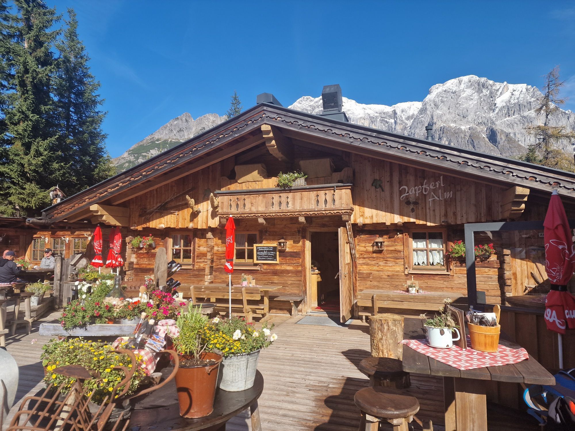
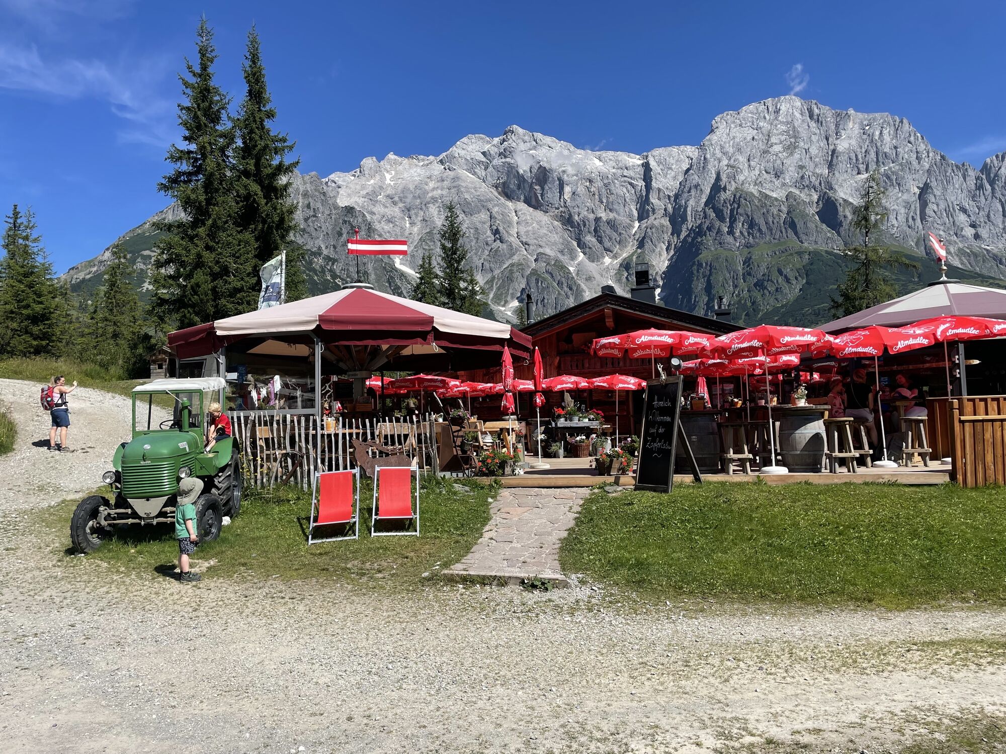
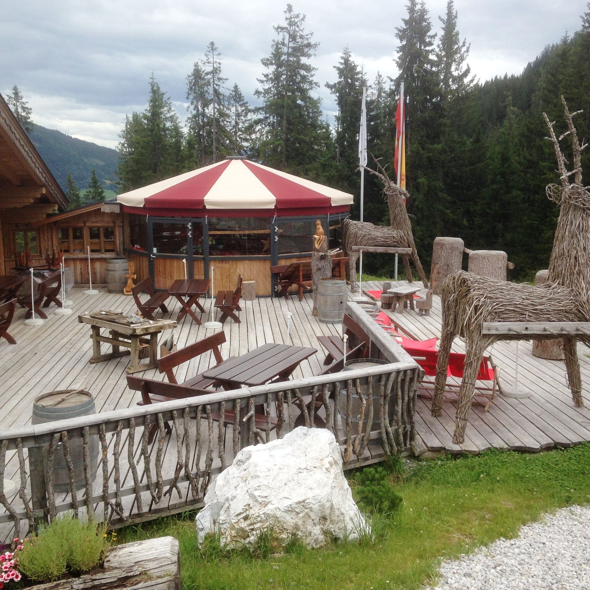
Wonderful panoramic view of the Hochkönig massif. Zapferlalm with many culinary delicacies. Carved wooden figures.
Populaire rondleidingen in de buurt
-
4,8
Summit storming route Taghaube
zwaarWandelen 6,25 km -
4,9
Hochkönig - Gipfel der Gefühle - Matrashaus
zwaarWandelen 20,9 km -
3,8
Hochkönig summit route - main ascent
zwaarWandelen 18,1 km -
4,7
Panorama hike to the Hochkeil
mediumWandelen 6,07 km -
4,8
Summit stormer route Lauskopf
zwaarWandelen 8,16 km -
3,6
Wanderung zur Ostpreußenhütte in Werfen (1.630 m)
mediumWandelen 11,2 km -
4,7
About the "Four Huts circular route" to Windraucheggalm
mediumWandelen 10,1 km -
3,7
Auf die Ostpreussenhütte
mediumWandelen 16,6 km -
4,4
Riemannhaus
zwaarWandelen 3,69 km -
3,9
Mühlbacher Höhenweg
mediumWandelen 11,2 km
Wandelen en spoorzoeken


Mis geen aanbiedingen en inspiratie voor je volgende vakantie
Uw e-mailadres is toegevoegd aan de mailinglijst.