


Three summits tour on the Plose above Brixen


Foto's van onze gebruikers
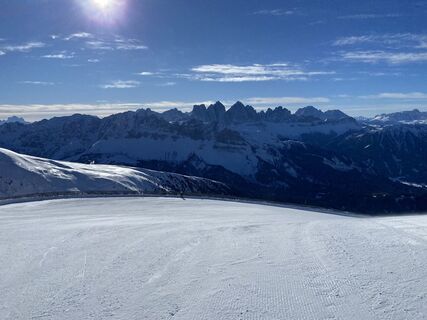
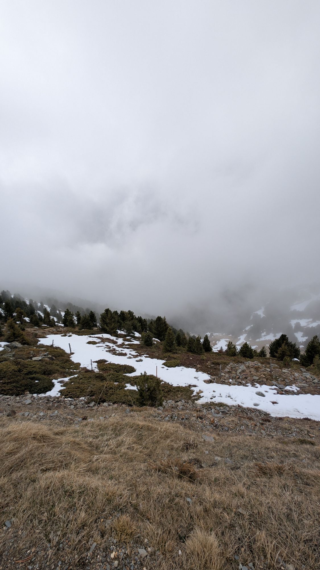
 © Michael Endres 1Gemaakt op 26.01.2023
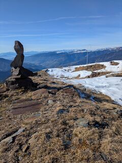
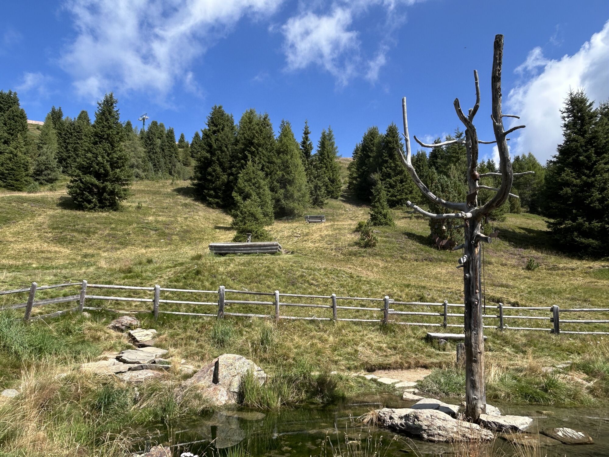
 © HeidirenateGemaakt op 12.11.2025
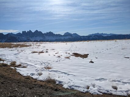 © HeidirenateGemaakt op 12.11.2025
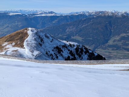 © HeidirenateGemaakt op 12.11.2025
 © HeidirenateGemaakt op 12.11.2025
 © HeidirenateGemaakt op 12.11.2025
 © HeidirenateGemaakt op 12.11.2025
 © HeidirenateGemaakt op 12.11.2025
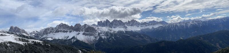
 © Sven Pausch 24Gemaakt op 05.10.2025
 © Sven Pausch 24Gemaakt op 05.10.2025
 © Grieshofer GerlindeGemaakt op 01.10.2025
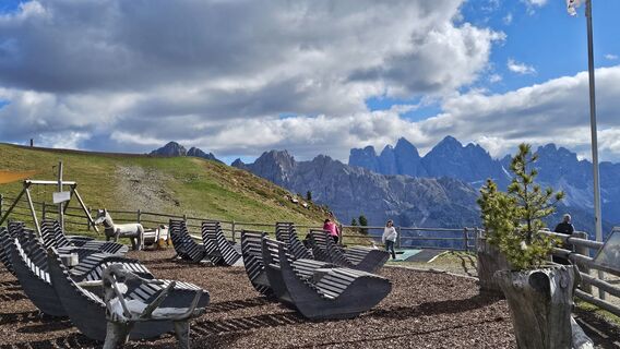 © Grieshofer GerlindeGemaakt op 01.10.2025
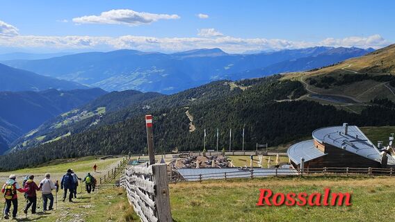 © Grieshofer GerlindeGemaakt op 01.10.2025
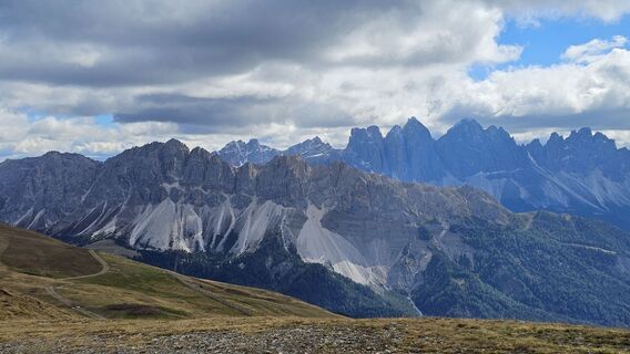 © Grieshofer GerlindeGemaakt op 01.10.2025
 © Helmut ErtzGemaakt op 27.08.2025
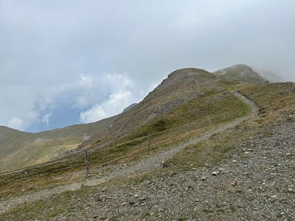 © Helmut ErtzGemaakt op 27.08.2025
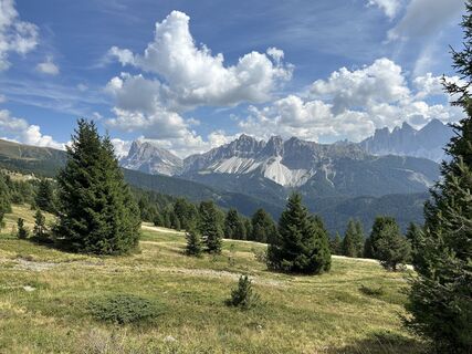 © Helmut ErtzGemaakt op 19.08.2025
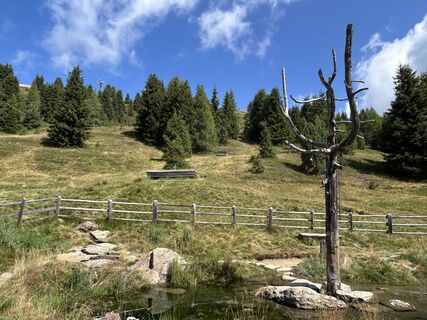 © Helmut ErtzGemaakt op 19.08.2025
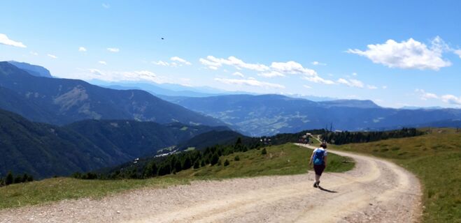 © Lutz KaiserGemaakt op 17.07.2025
 © Adam AkwenGemaakt op 16.07.2025
 © Adam AkwenGemaakt op 16.07.2025
 © Adam AkwenGemaakt op 16.07.2025
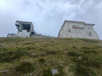 © Adam AkwenGemaakt op 16.07.2025
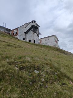 © Adam AkwenGemaakt op 16.07.2025
 © Adam AkwenGemaakt op 14.07.2025
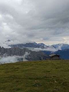 © Adam AkwenGemaakt op 14.07.2025
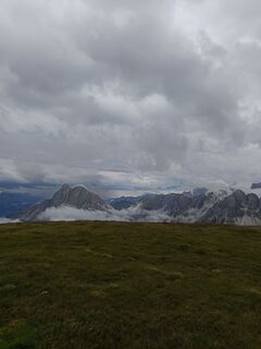 © Adam AkwenGemaakt op 14.07.2025
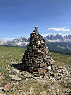 © Christian SchindlbeckGemaakt op 18.06.2025
 © Christian SchindlbeckGemaakt op 18.06.2025
 © Christian SchindlbeckGemaakt op 18.06.2025
 © Matthias WielandGemaakt op 14.04.2025
 © Christian SchindlbeckGemaakt op 18.06.2025
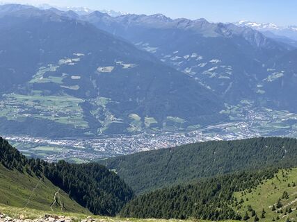 © Christian SchindlbeckGemaakt op 18.06.2025
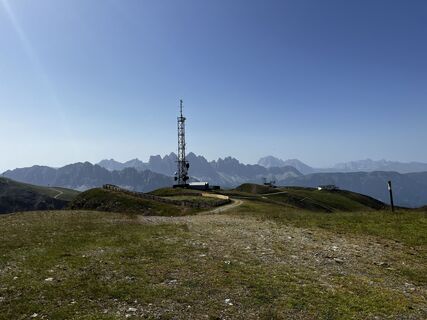
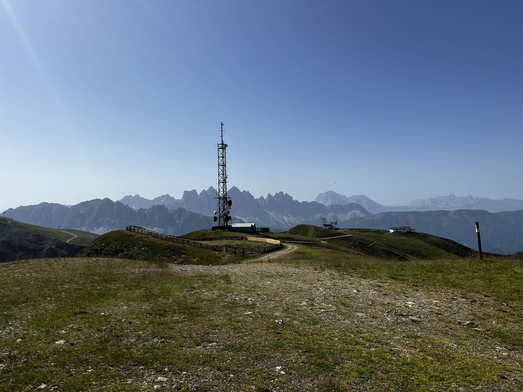
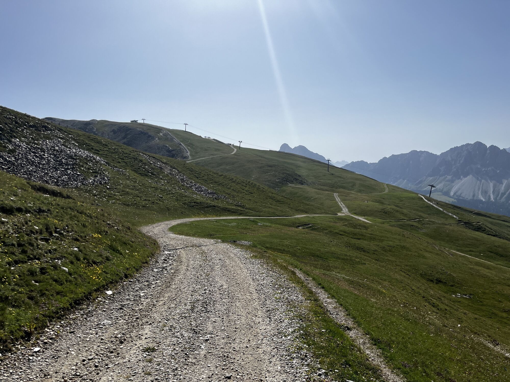
 © Stefano “Iddo”Gemaakt op 31.07.2024
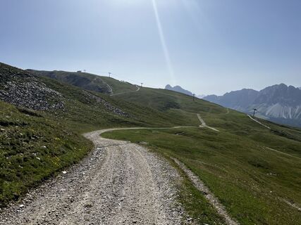 © Stefano “Iddo”Gemaakt op 31.07.2024
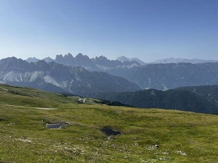 © Stefano “Iddo”Gemaakt op 31.07.2024
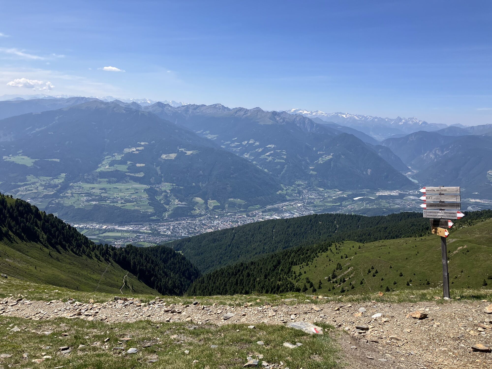
 © Markus Hornung 72Gemaakt op 31.05.2023
 © Markus Hornung 72Gemaakt op 31.05.2023
 © Markus Hornung 72Gemaakt op 31.05.2023
 © Markus Hornung 72Gemaakt op 31.05.2023
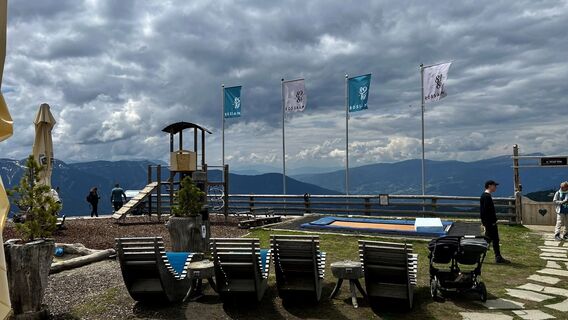 © Markus Hornung 72Gemaakt op 31.05.2023
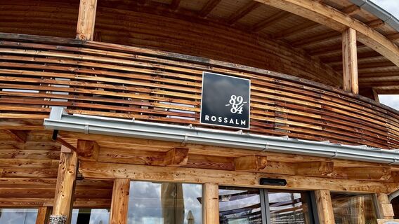 © Markus Hornung 72Gemaakt op 31.05.2023
 © Markus Hornung 72Gemaakt op 31.05.2023
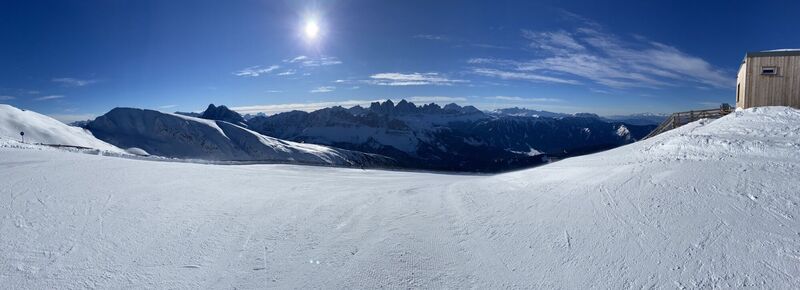 © Michael Endres 1Gemaakt op 26.01.2023
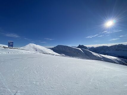 © Michael Endres 1Gemaakt op 26.01.2023
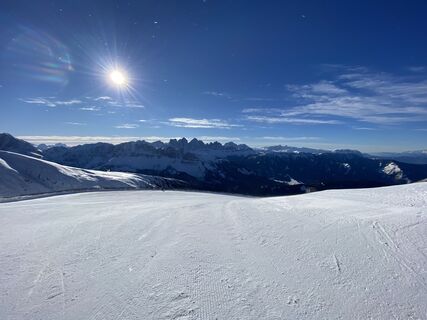 © Michael Endres 1Gemaakt op 26.01.2023
 © Stefano “Iddo”Gemaakt op 23.06.2025
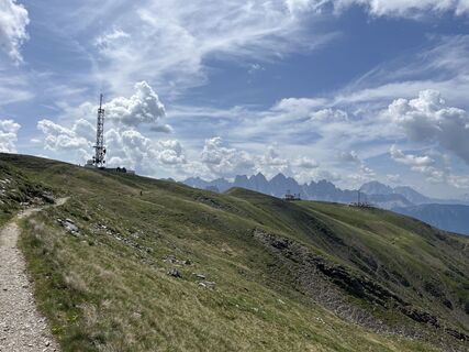 © Stefano “Iddo”Gemaakt op 23.06.2025


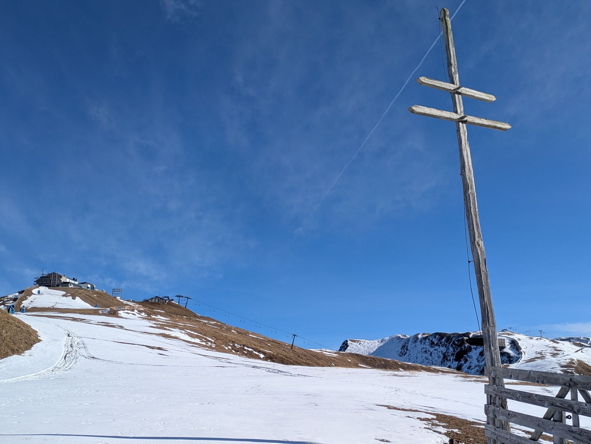


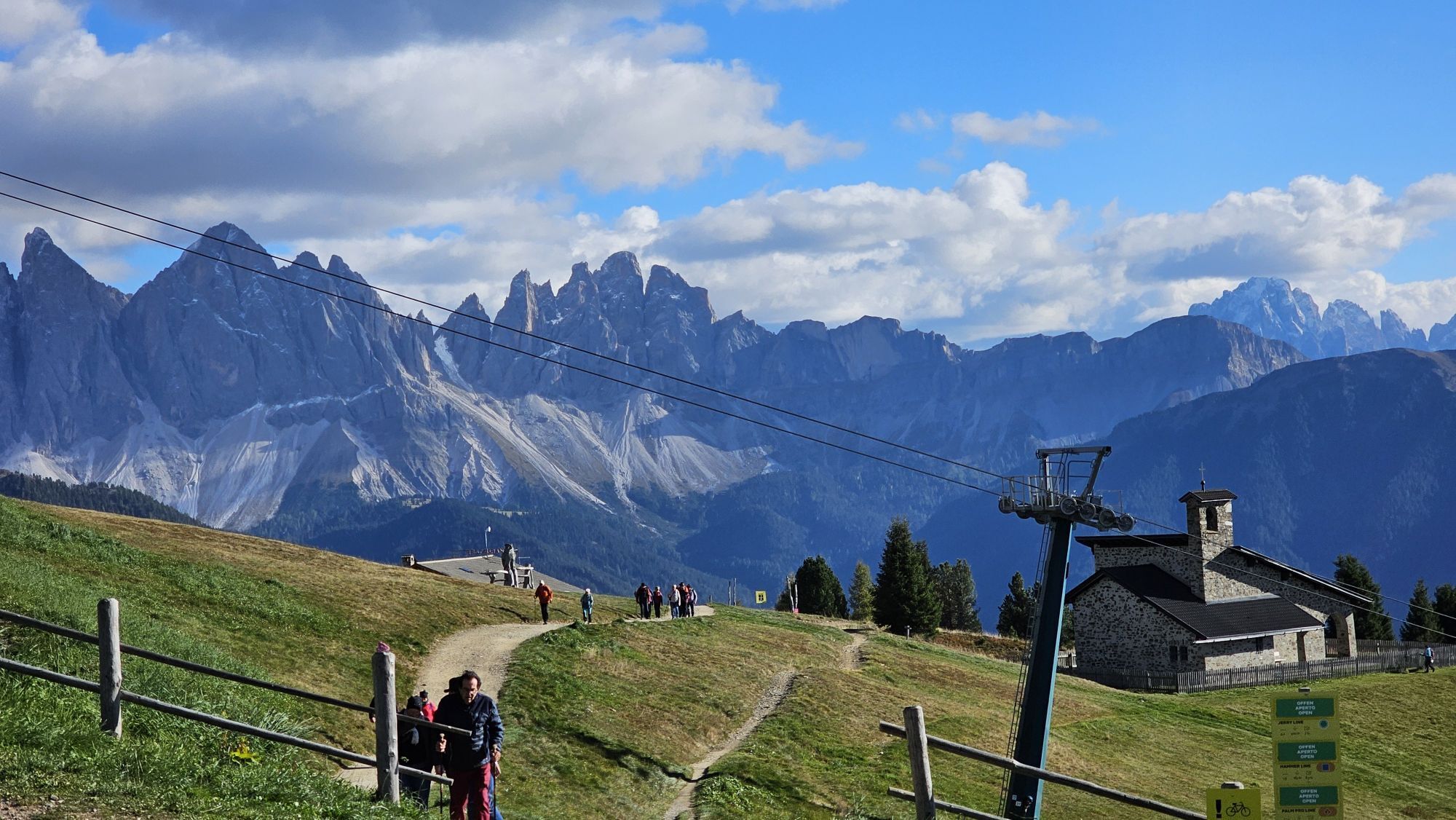


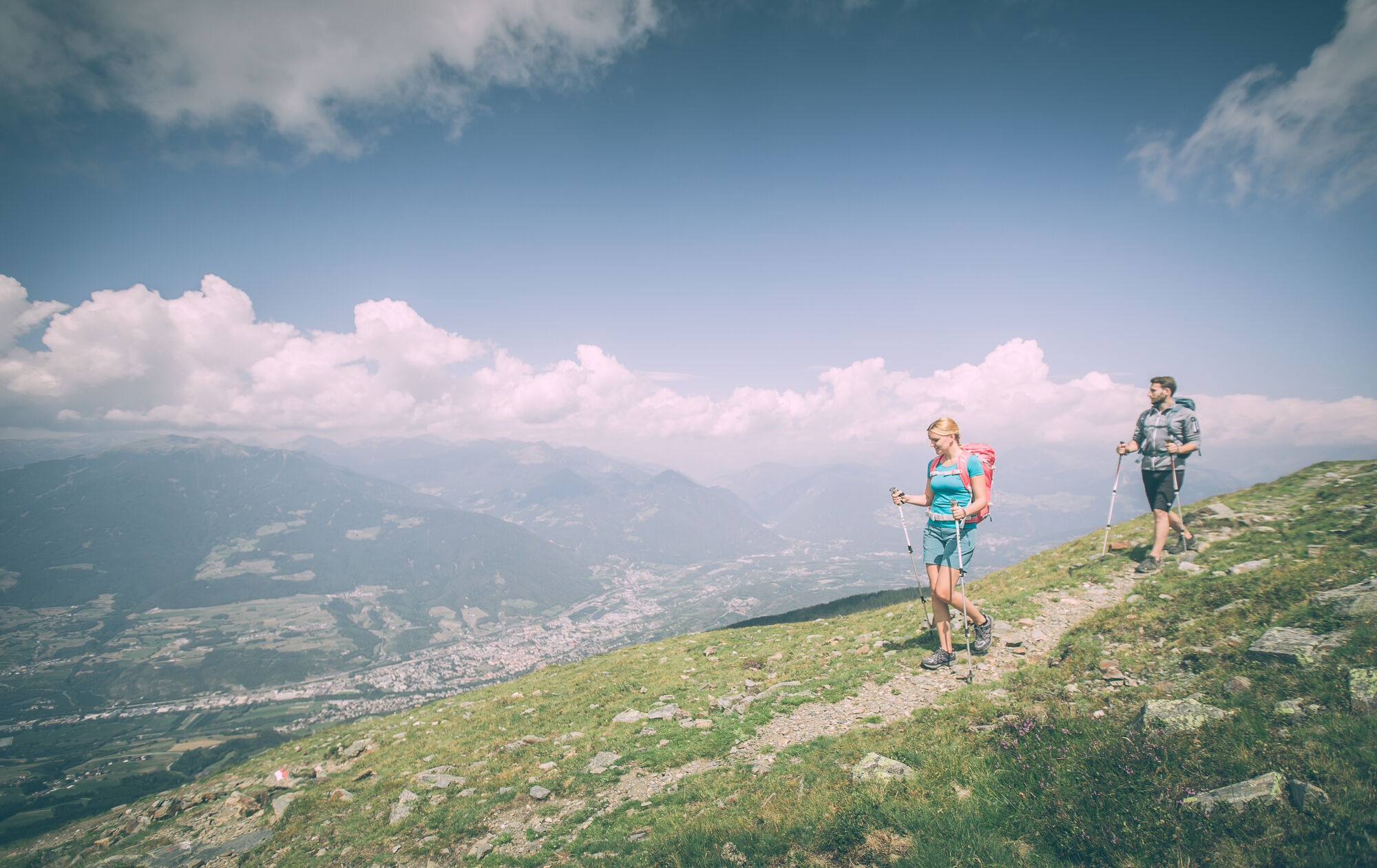
The start of this challenging hike is at the mountain station of the Plose gondola lift in Kreuztal/Valcroce (2,050 m). The gondola lift brings hikers from St. Andrä/S. Andrea to the Plose above Brixen...
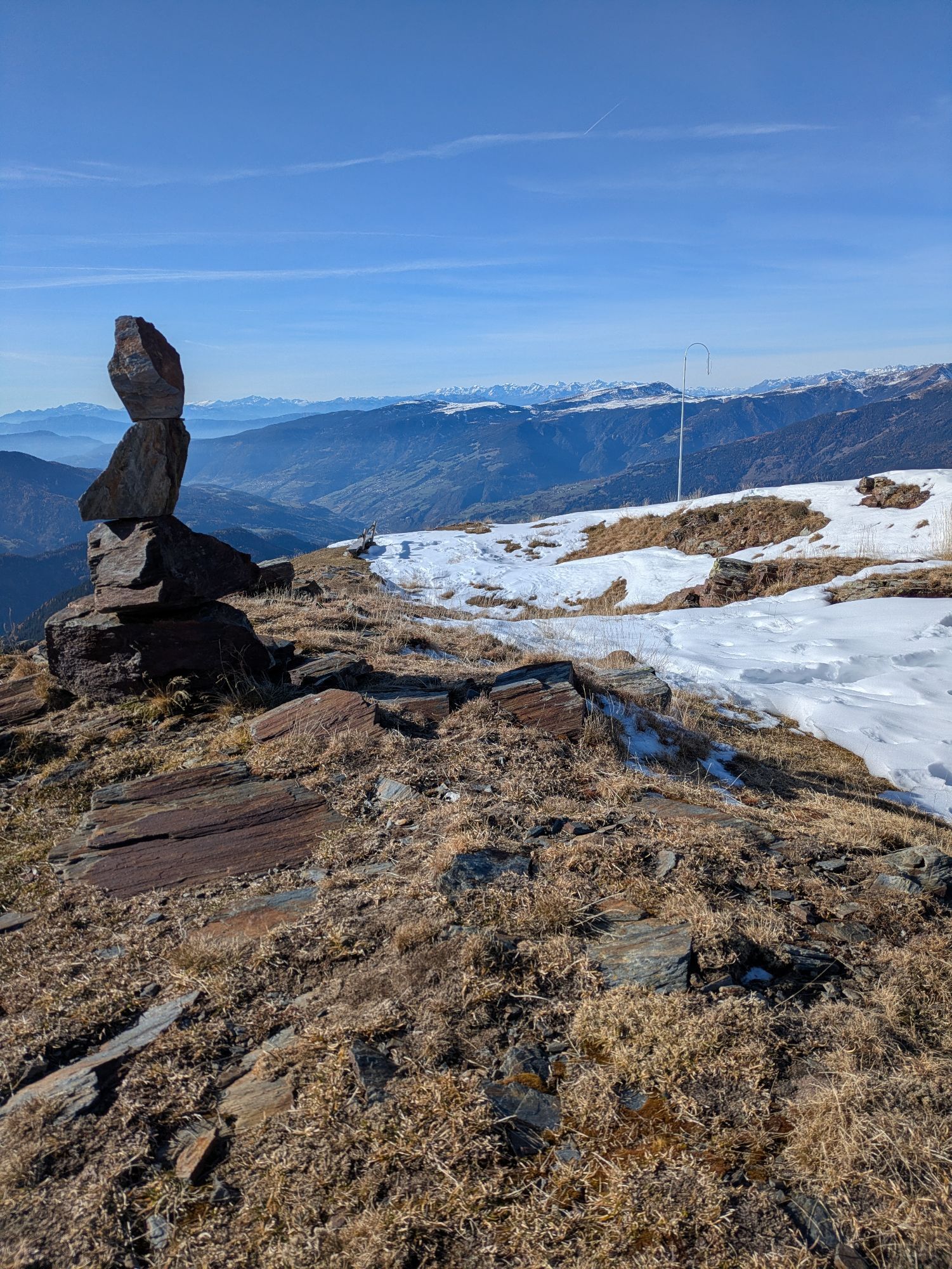
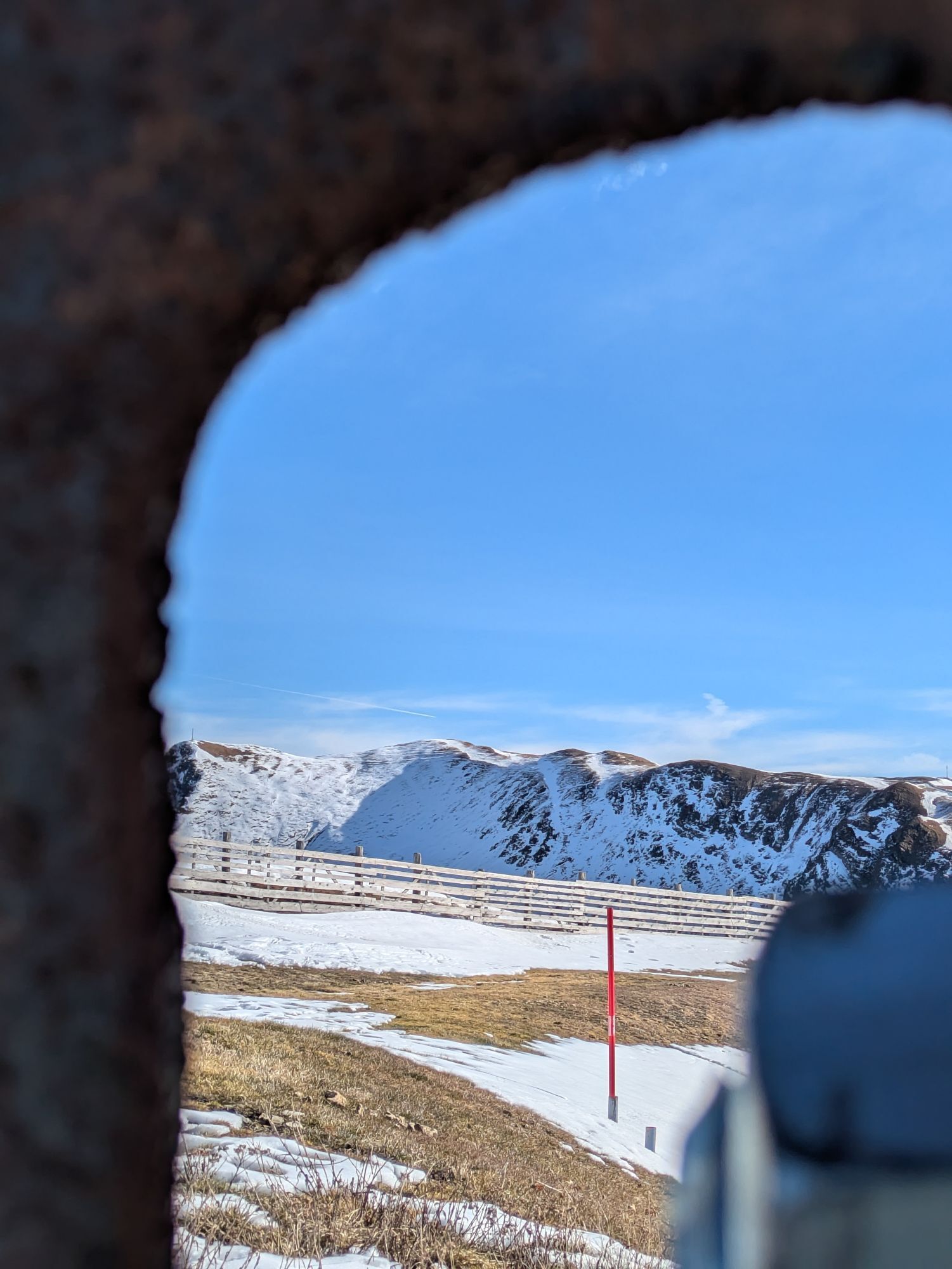
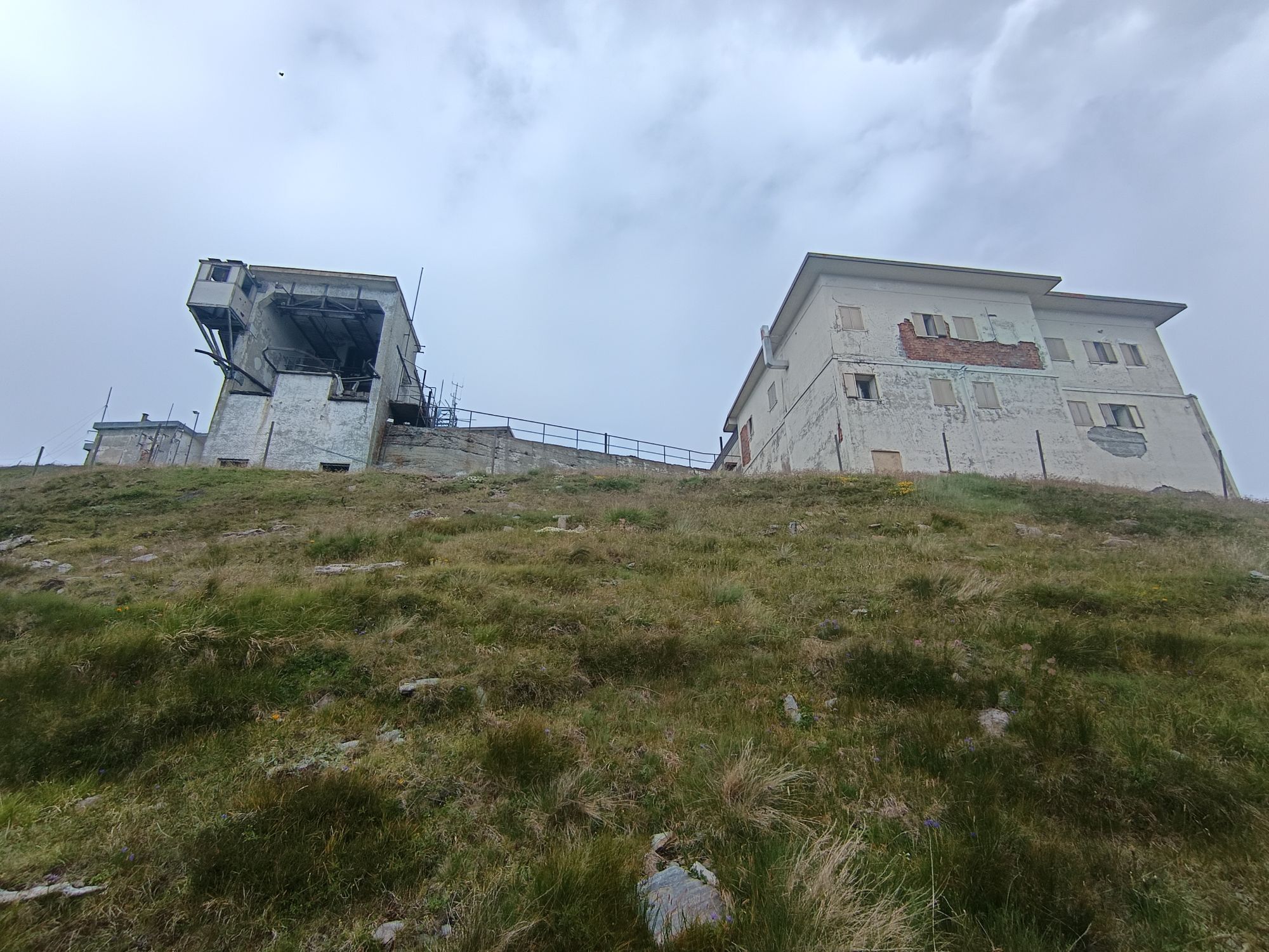
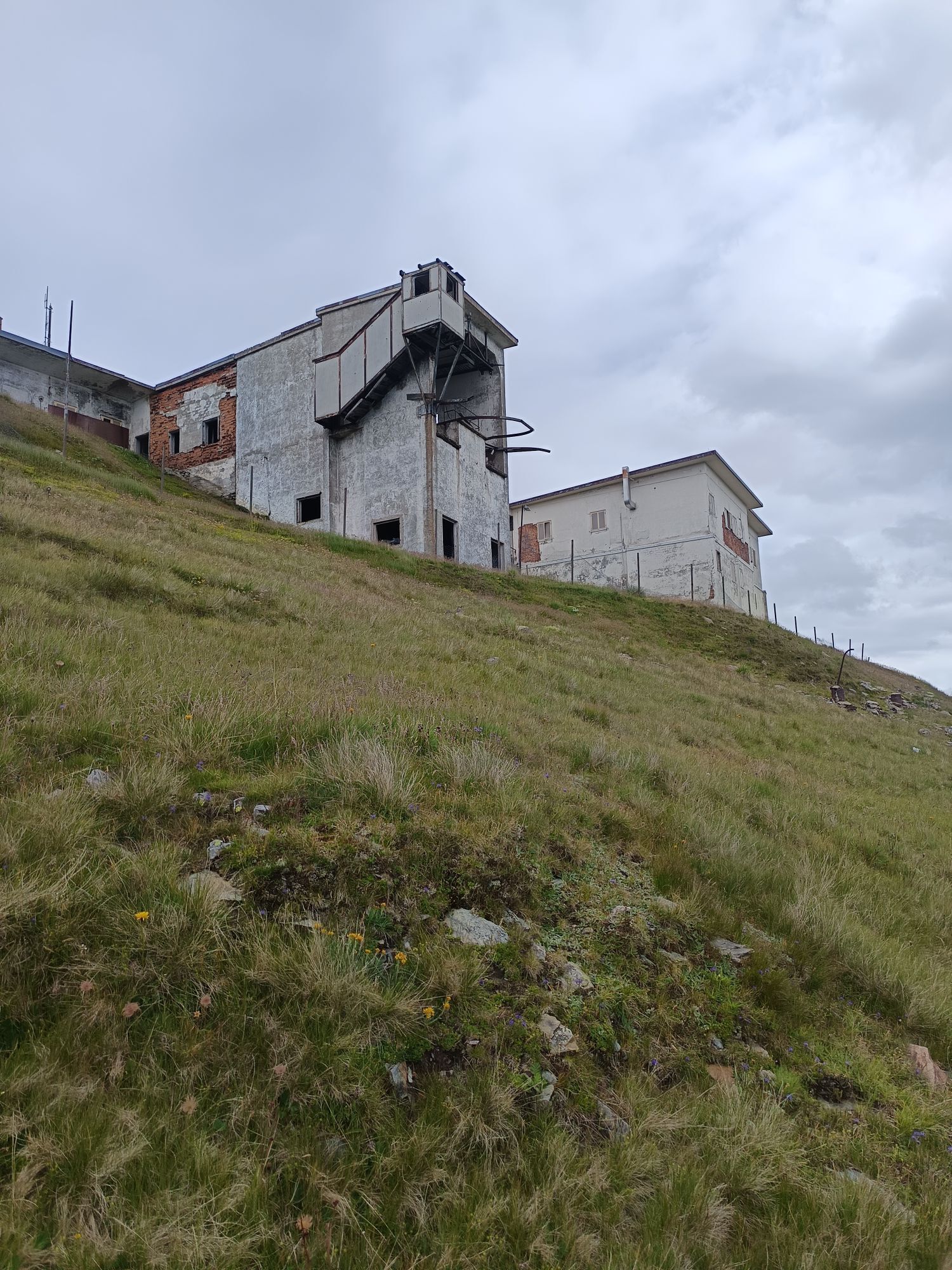
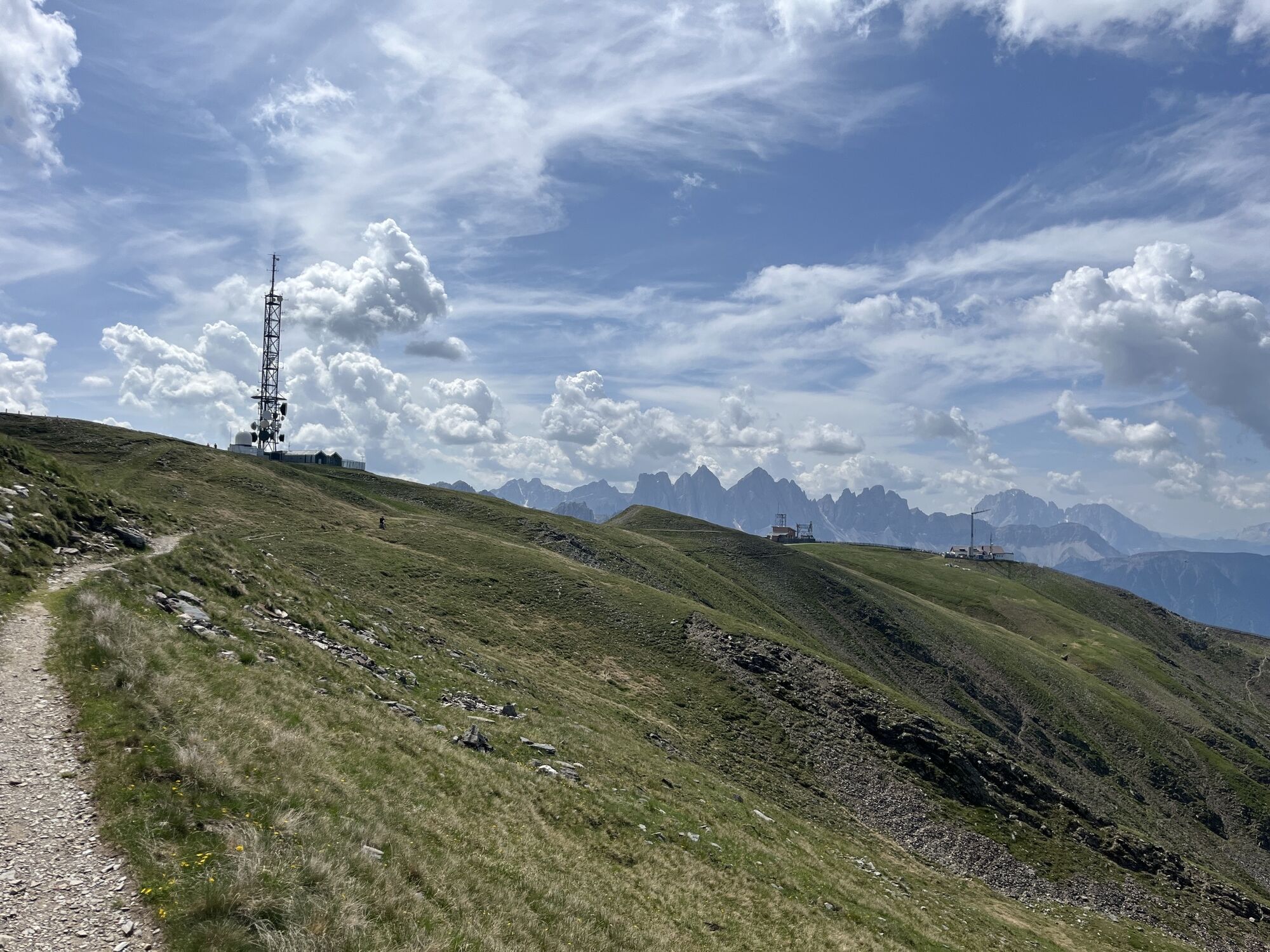
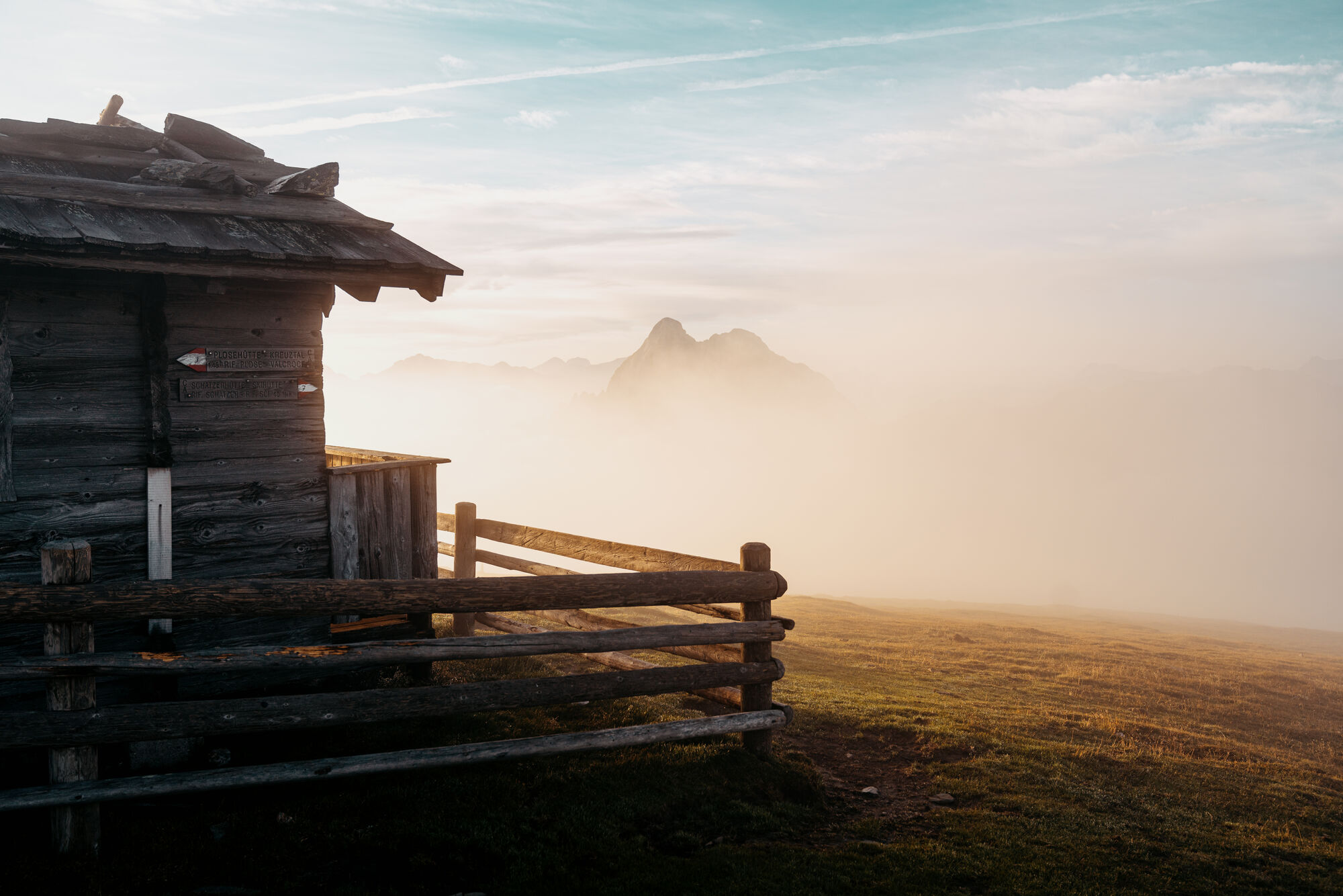
The start of this challenging hike is at the mountain station of the Plose gondola lift in Kreuztal/Valcroce (2,050 m). The gondola lift brings hikers from St. Andrä/S. Andrea to the Plose above Brixen and is open from mid-May to the end of October. Follow trail no. 7/30 from the mountain station of the gondola lift to the top of the forest line and turn right onto trail no. 7. Continue along a clearly defined trail and across the slopes to the Schönjöchl ridge (2,250 m) before arriving at the Plosehütte mountain shelter (2,446 m). From there, follow trail no. 6 north past some buildings, to the first summit of the tour. The Telegraph (2,486 m) has a broad, flat summit and panoramic views.
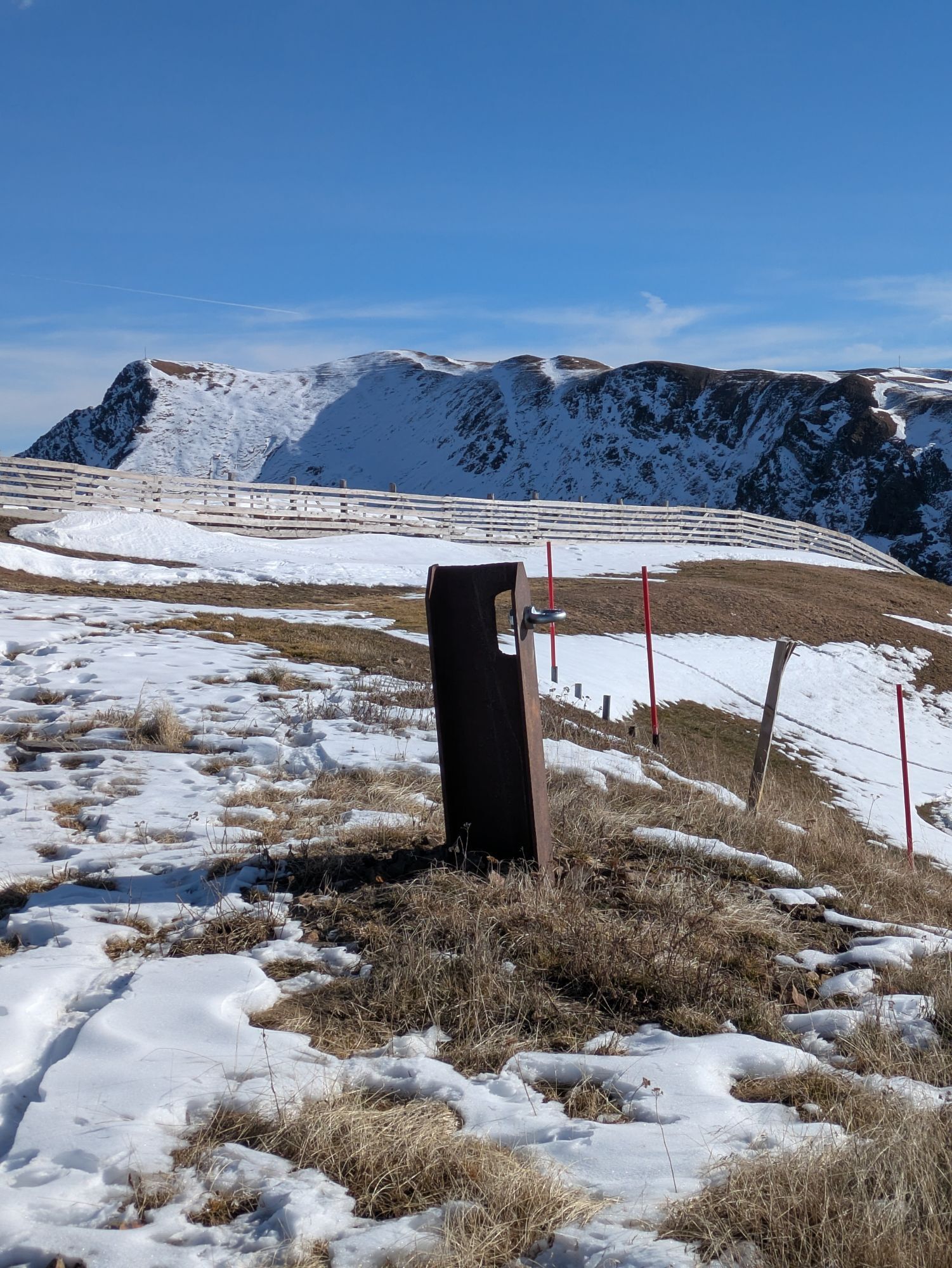
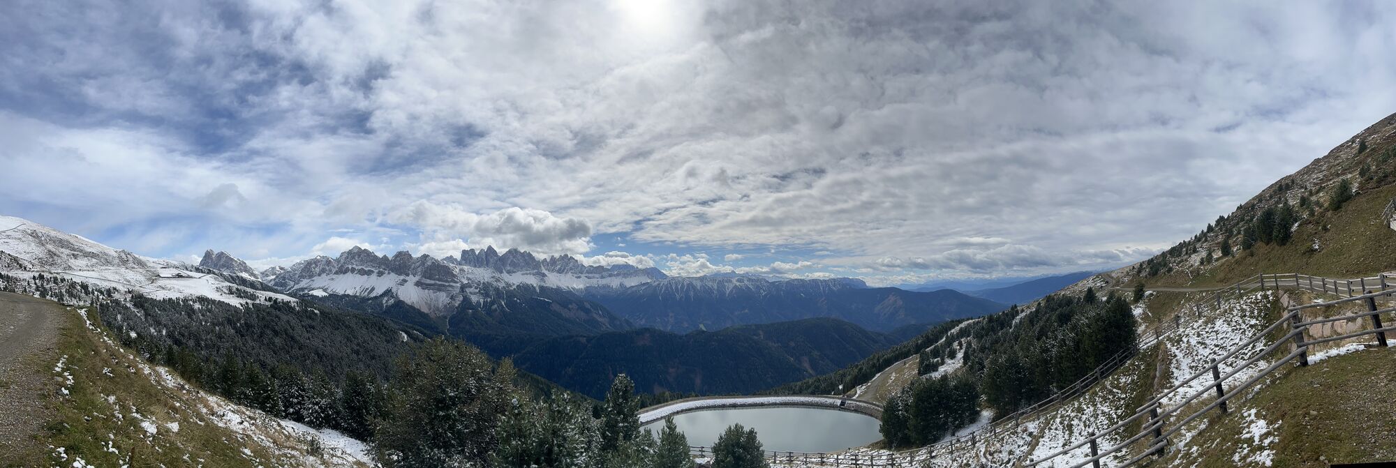
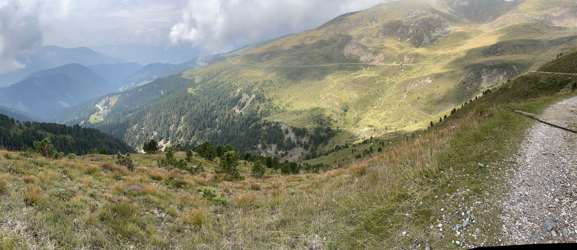
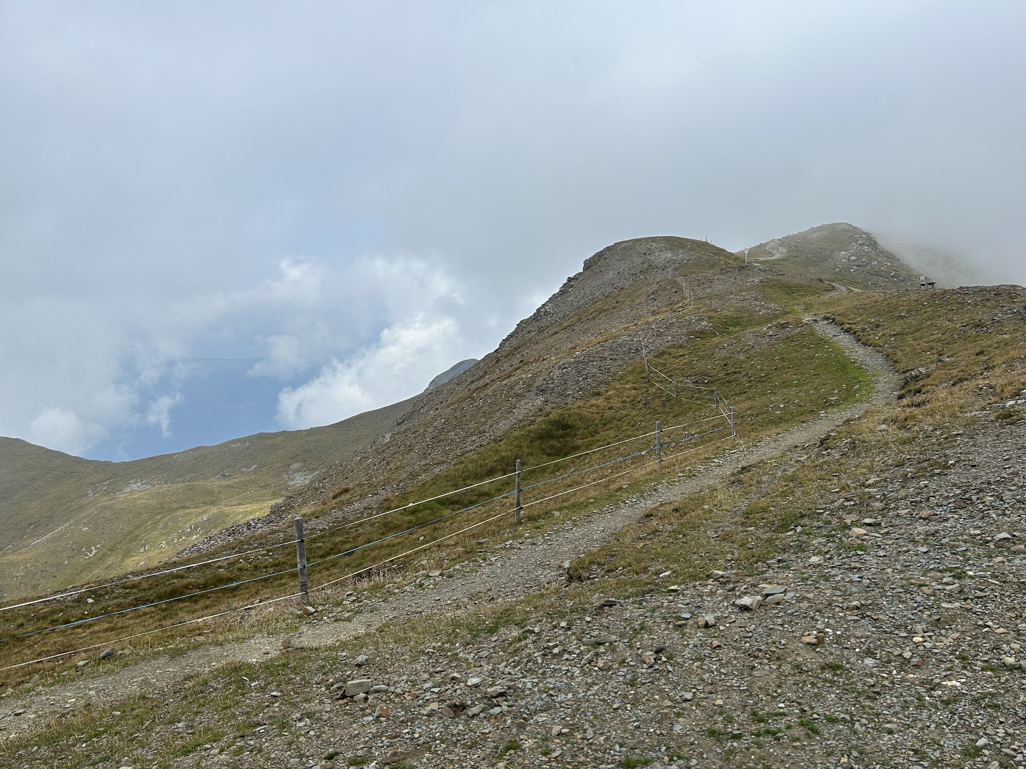
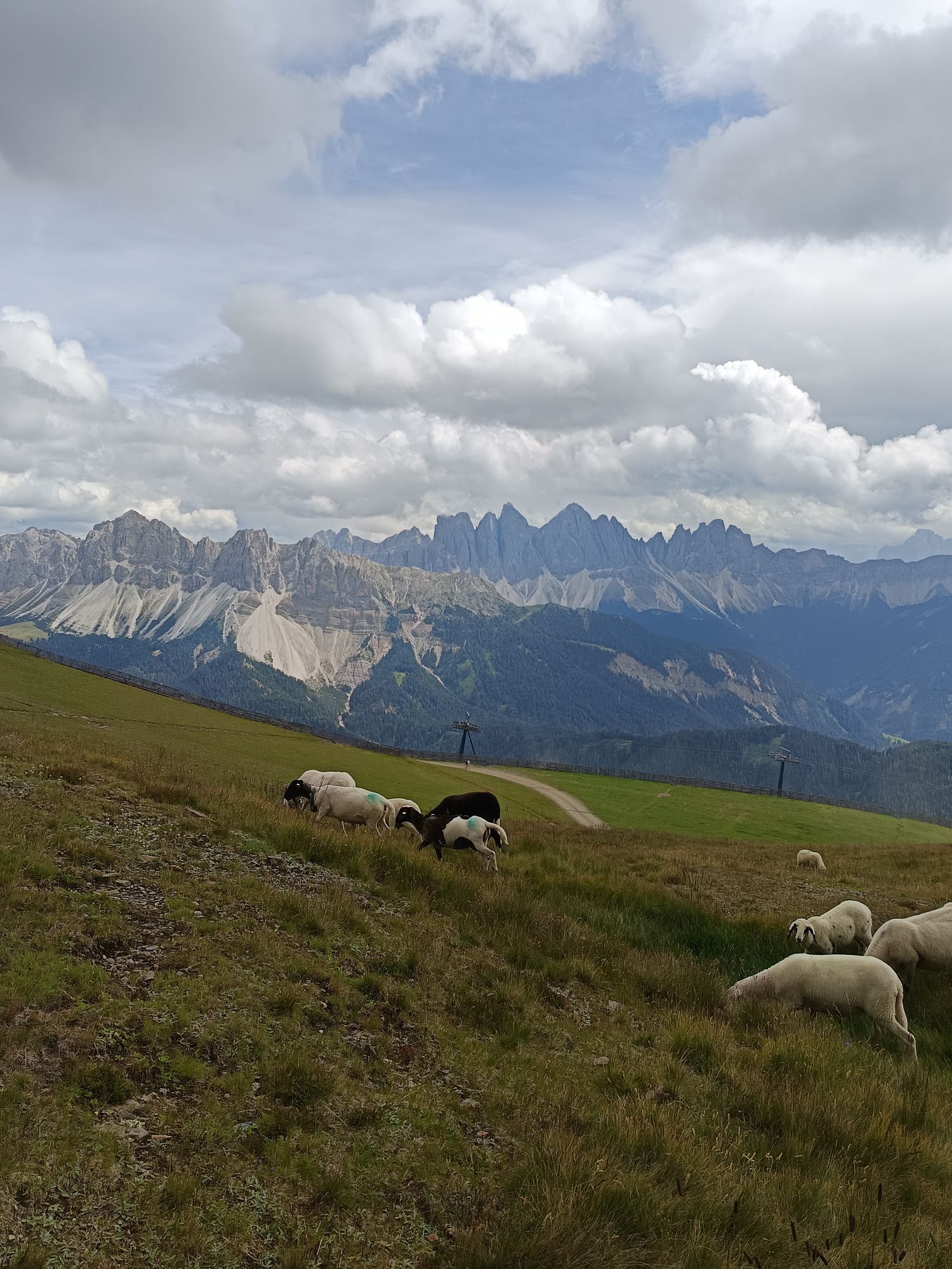
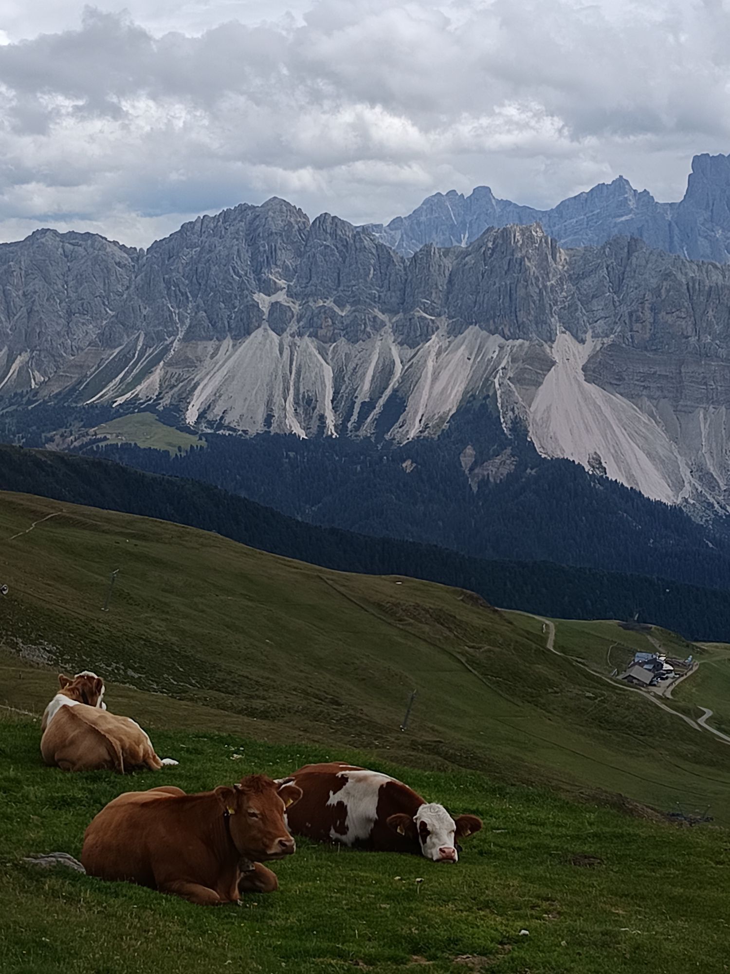
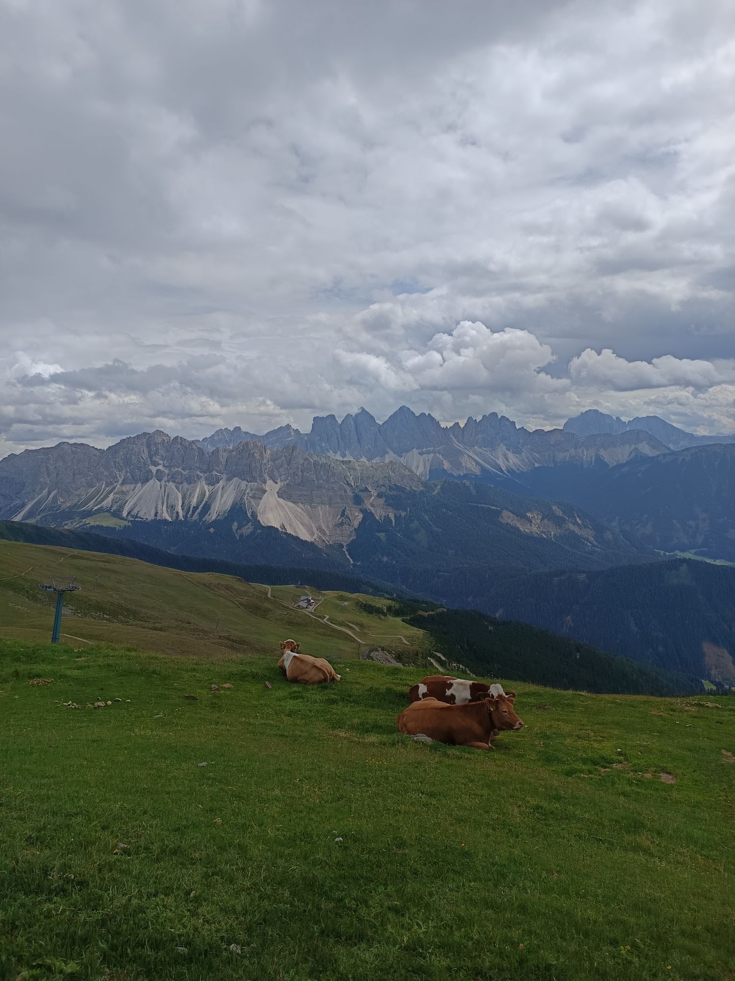
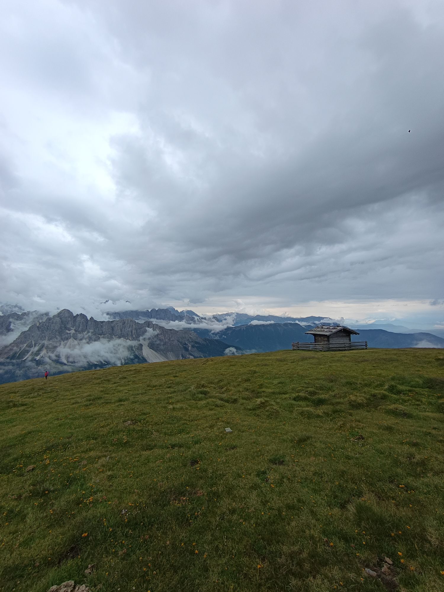
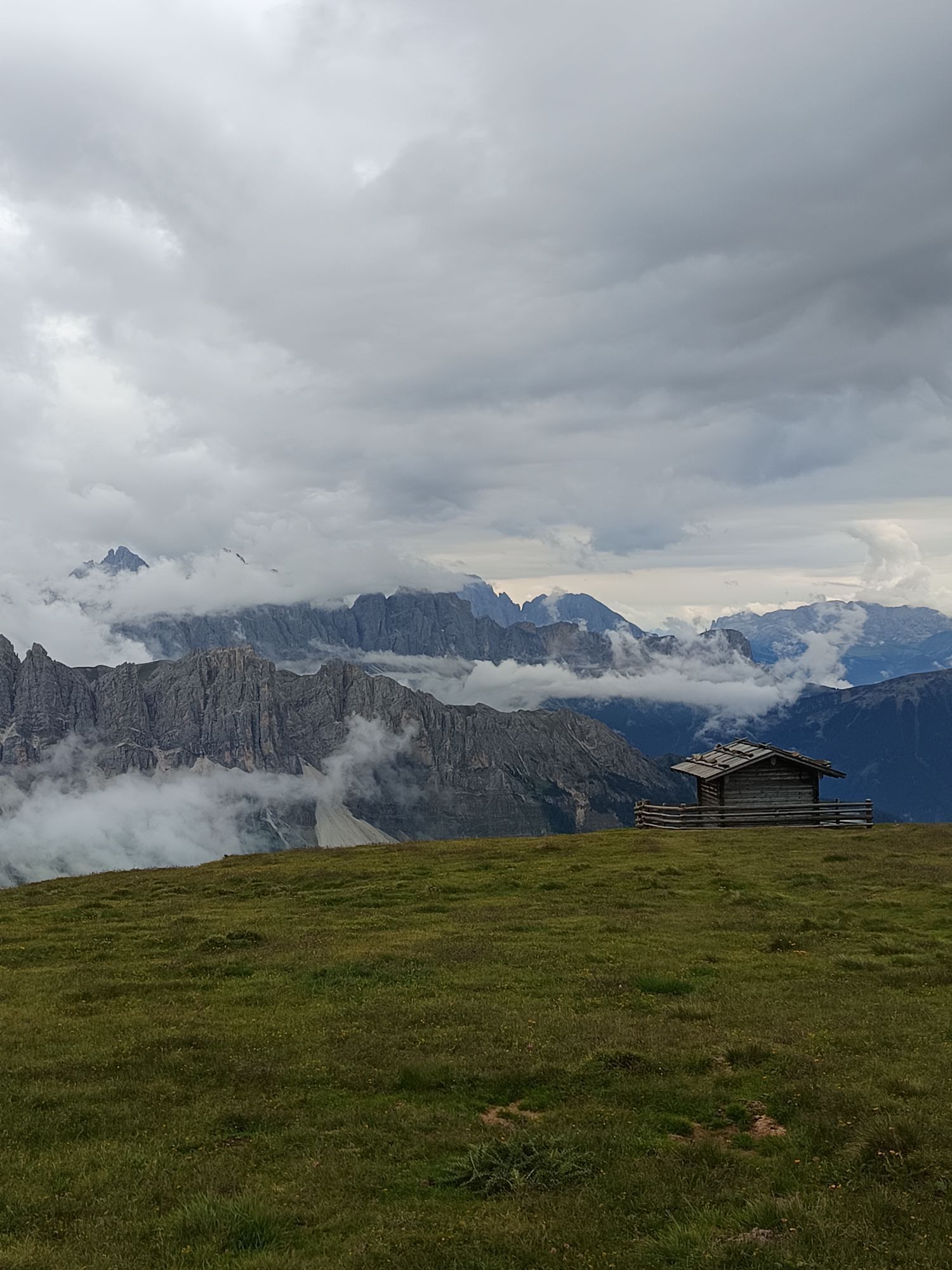
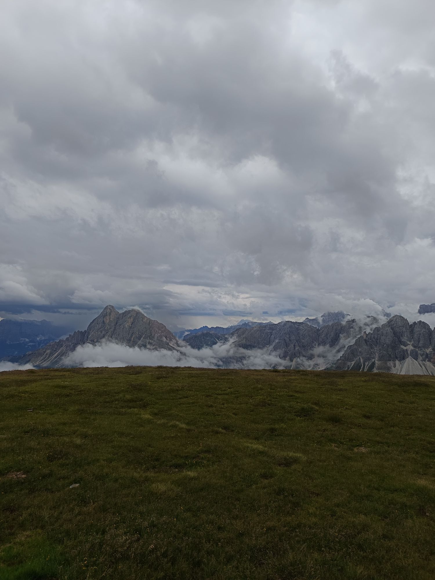
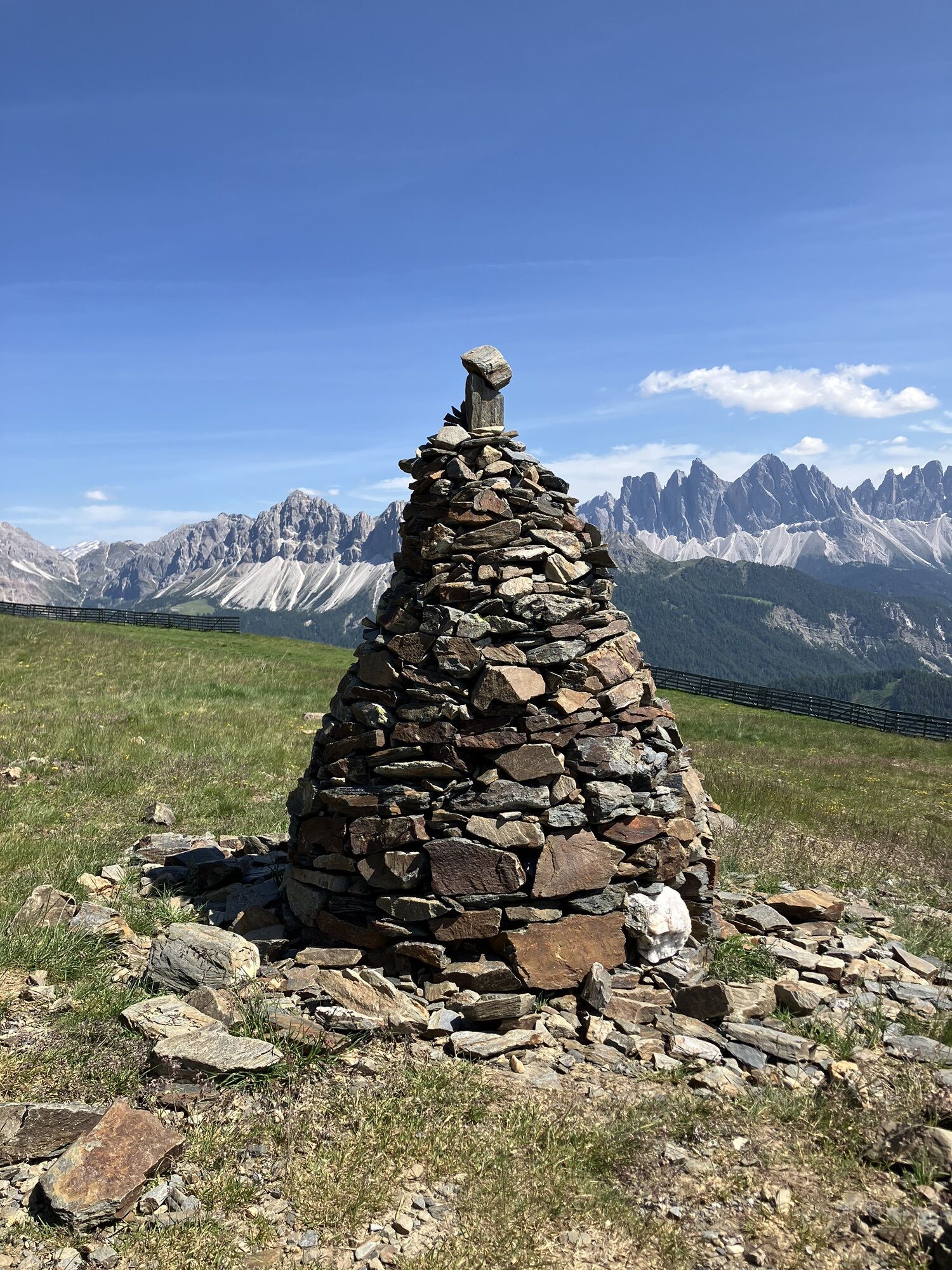
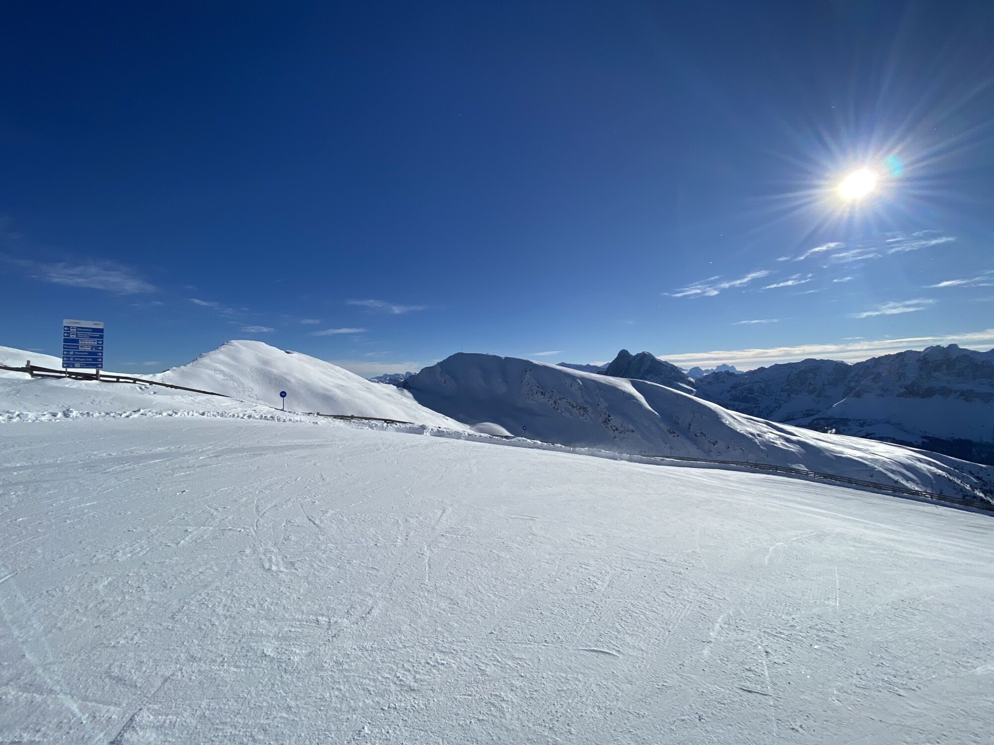
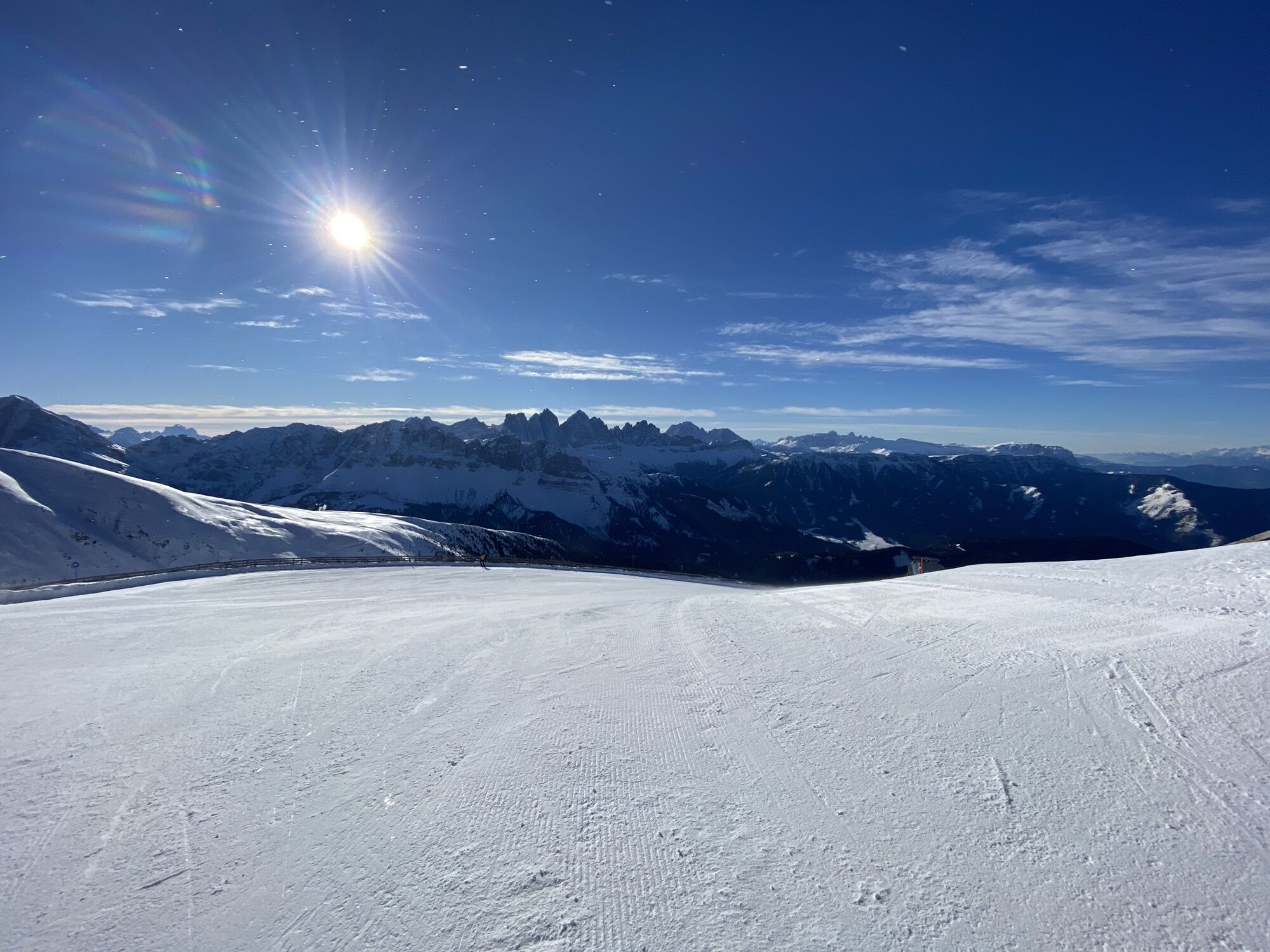
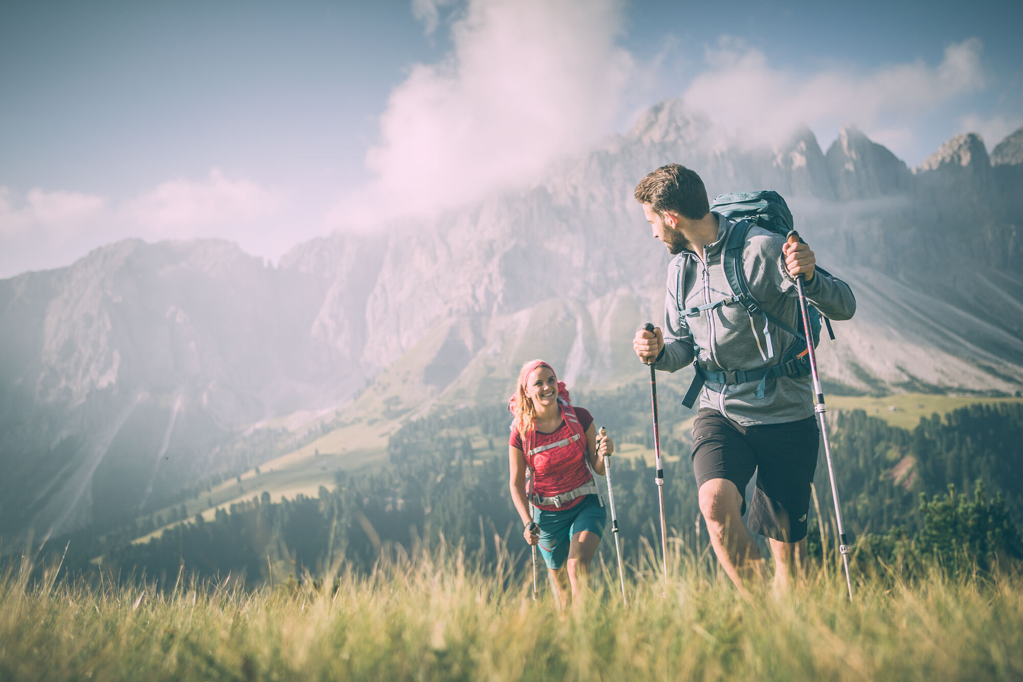
Return to Plosehütte and follow trail no. 7 down a slight incline along the ridge in an easterly direction to the Lüsner Scharte ridge (2,371 m). Follow the safety fence on the via ferrata along trail no. 7 to the Große Pfannspitze peak (2,545 m), which is the second summit of the tour. Continue eastwards along the top of the ridge up to the Kleine Gabler, the trail either crosses over the peak or turns right onto the ridge for the short ascent to the Grosse Gabler. Continue across the rocky terrain along the flat ridge to the third summit: the Grosse Gabler (2,575 m). From this main summit of the Plose, one is treated to a veritable Alpine wonderland: a 360° panoramic view.
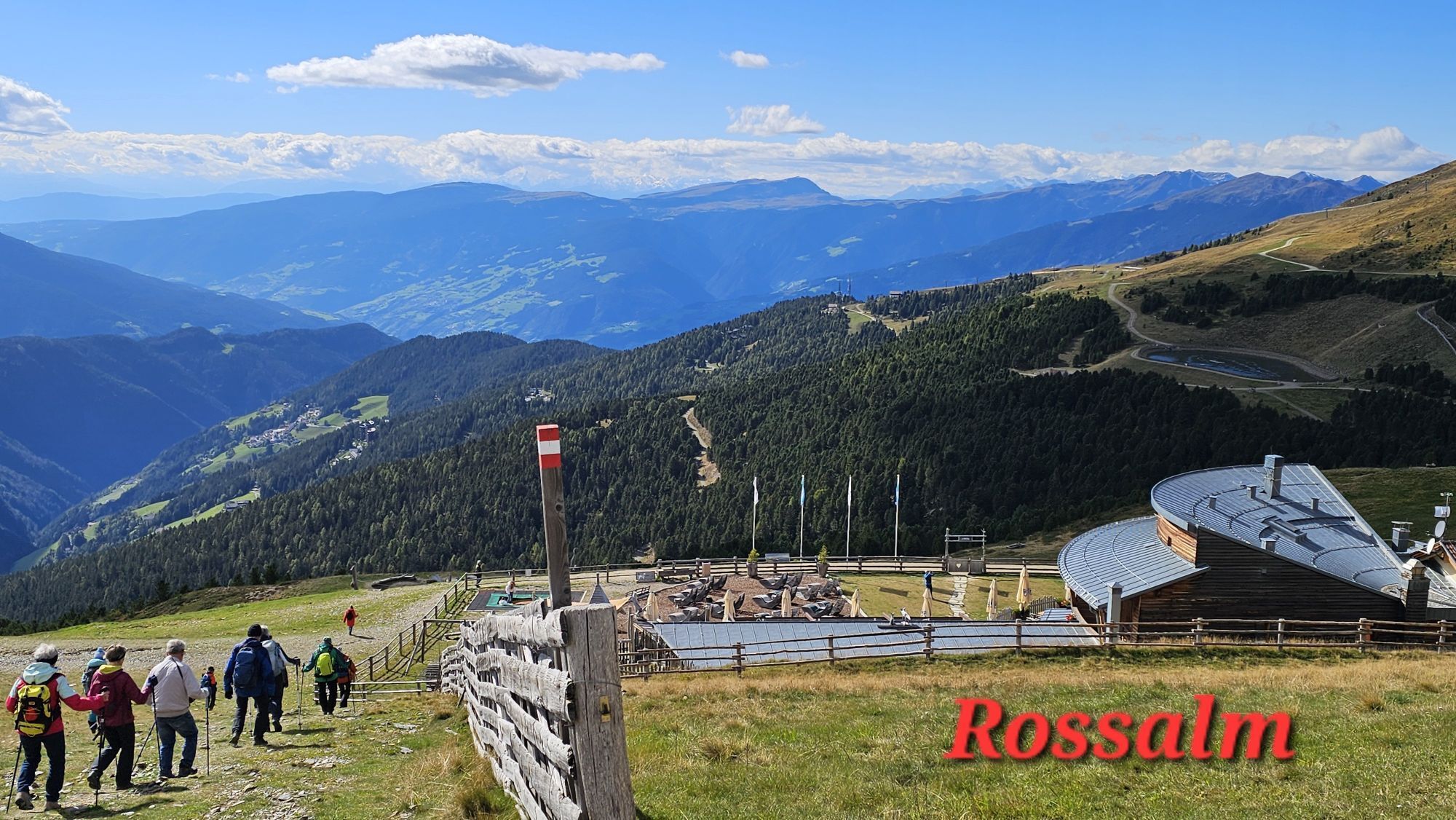
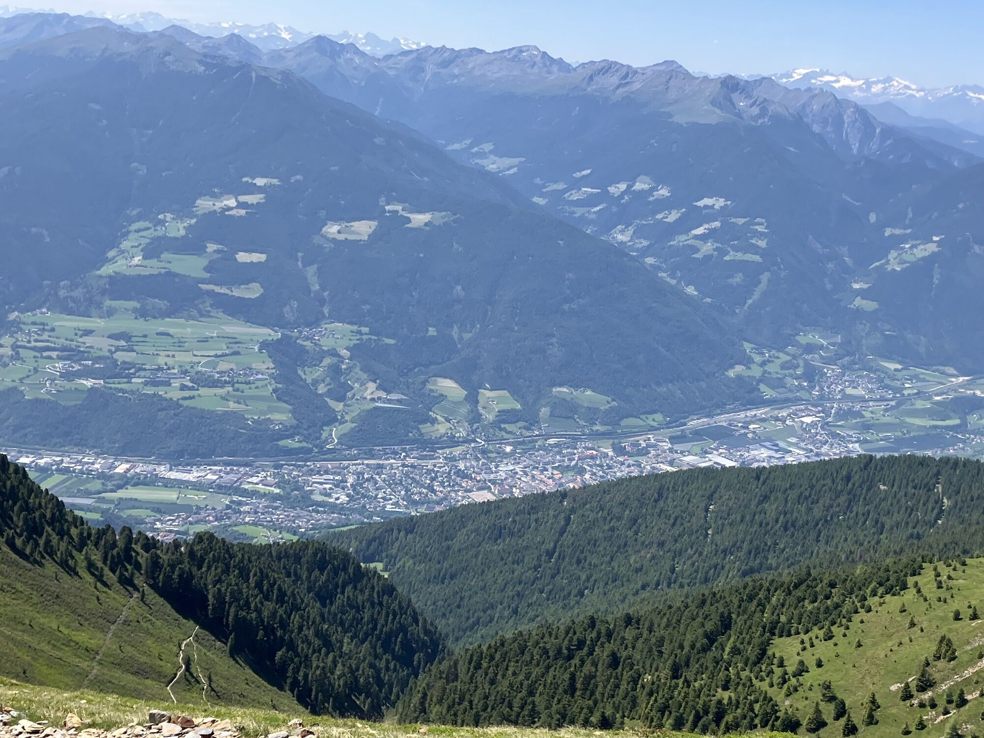
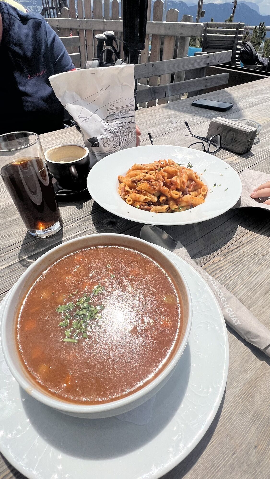
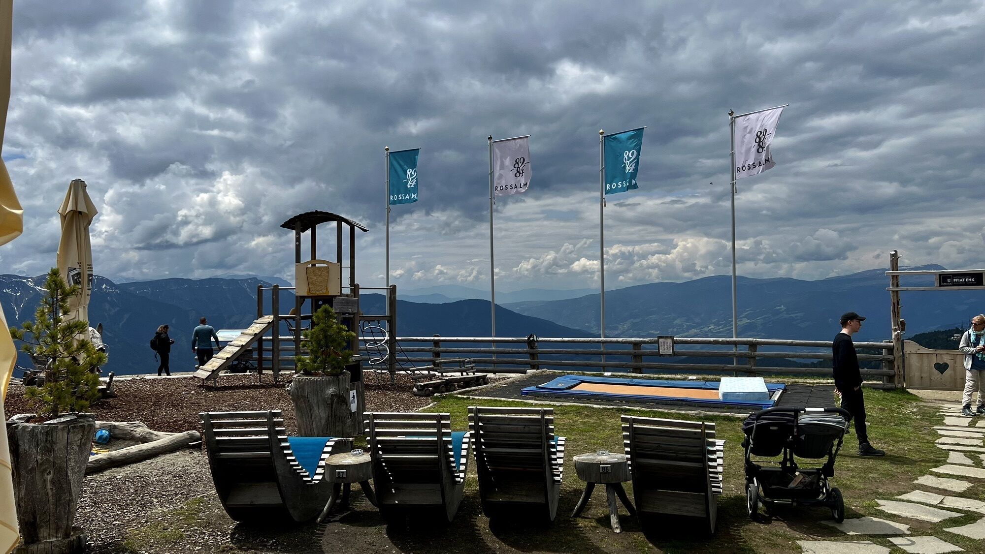
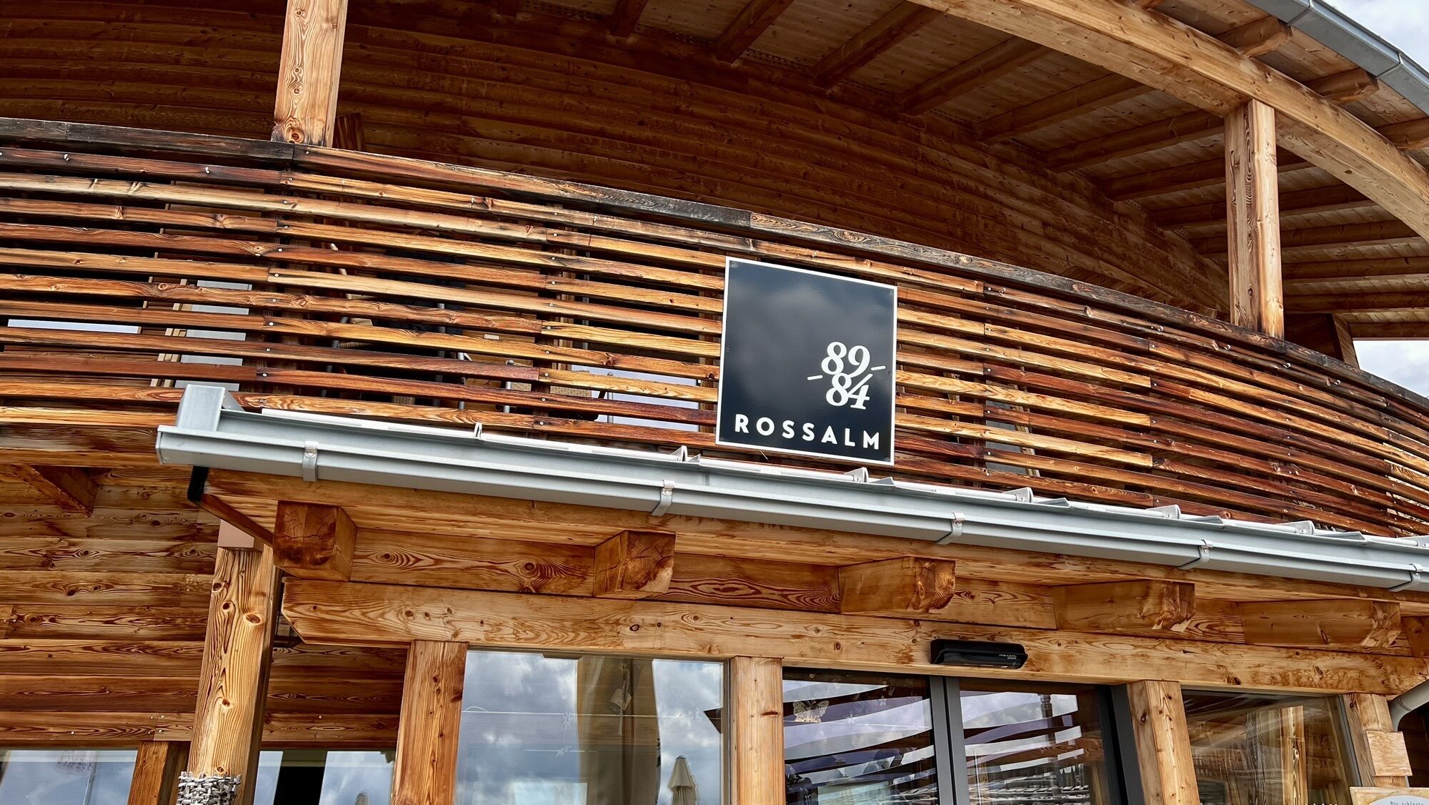
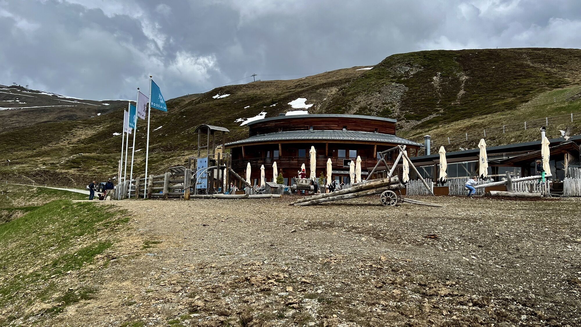
To return, head south along the mountain track on trail no. 7 to the mountain pasture trail (2,320 m) and then west following trail no. 14 to the Rossalm mountain hut (2,180 m), for a rest stop. From there, it is an easy hike to the mountain station of the gondola lift at Kreuztal.
Ja
Ja
Travel to Brixen by train or bus, then by public transport from Brixen to the Plose cable car. From there, take the cable car to the mountain station at 2,050 m.
Parking directly at the Plose cable car or at the Plose mountain station.
Populaire rondleidingen in de buurt
- 4,7
The Munkelweg trail beneath the Geisler peaks
mediumWandelen9,11 km - 4,5
Steviahütte - Nadelscharte, Regensburger Hütte
mediumWandelen10 km - 4,0
The Brixen High Mountain Trail on the Plose Mountain
mediumWandelen10,9 km - 4,8
Peitlerkofel hiking circuit
mediumWandelen12,9 km - 4,9
Raschötz Umrundung
lichtWandelen14,2 km - 4,6
Panoramawanderung zum Königsanger und Schutzhaus Radlsee
Wandelen12,0 km - 4,5
Vom Col Raiser über die Seceda und Pieralongia zur Regensburger Hütte
mediumWandelen10,4 km - 3,7
Gröden St. Christina Talstation Col Raiser Regensburger Hütte Bergstation Col Raiser retour 19.06.2016
lichtWandelen8,90 km - 4,0
St.Christina - St.Jakob - St.Ulrich
mediumWandelen5,42 km - 4,0
Gröden St. Christina, Silvester Scharte, Steviola, Mont de Stevia, Pizascharte, retour 21.06.2016
mediumWandelen13,2 km
Wandelen en spoorzoeken


Mis geen aanbiedingen en inspiratie voor je volgende vakantie
Uw e-mailadres is toegevoegd aan de mailinglijst.