


Brenta Dolomites Tour
Moeilijkheidsgraad: 4


Foto's van onze gebruikers
-
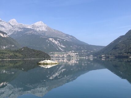
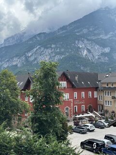
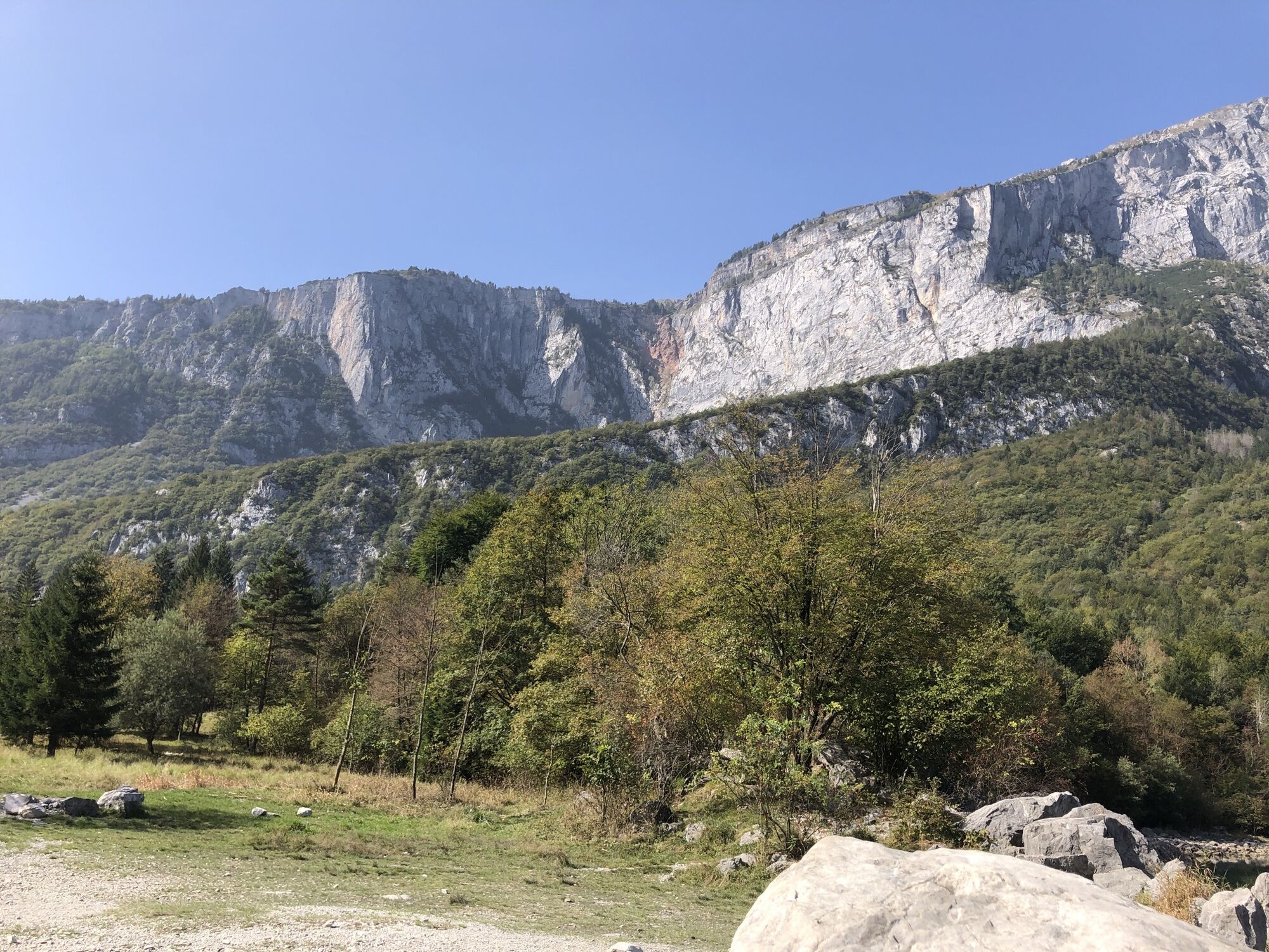
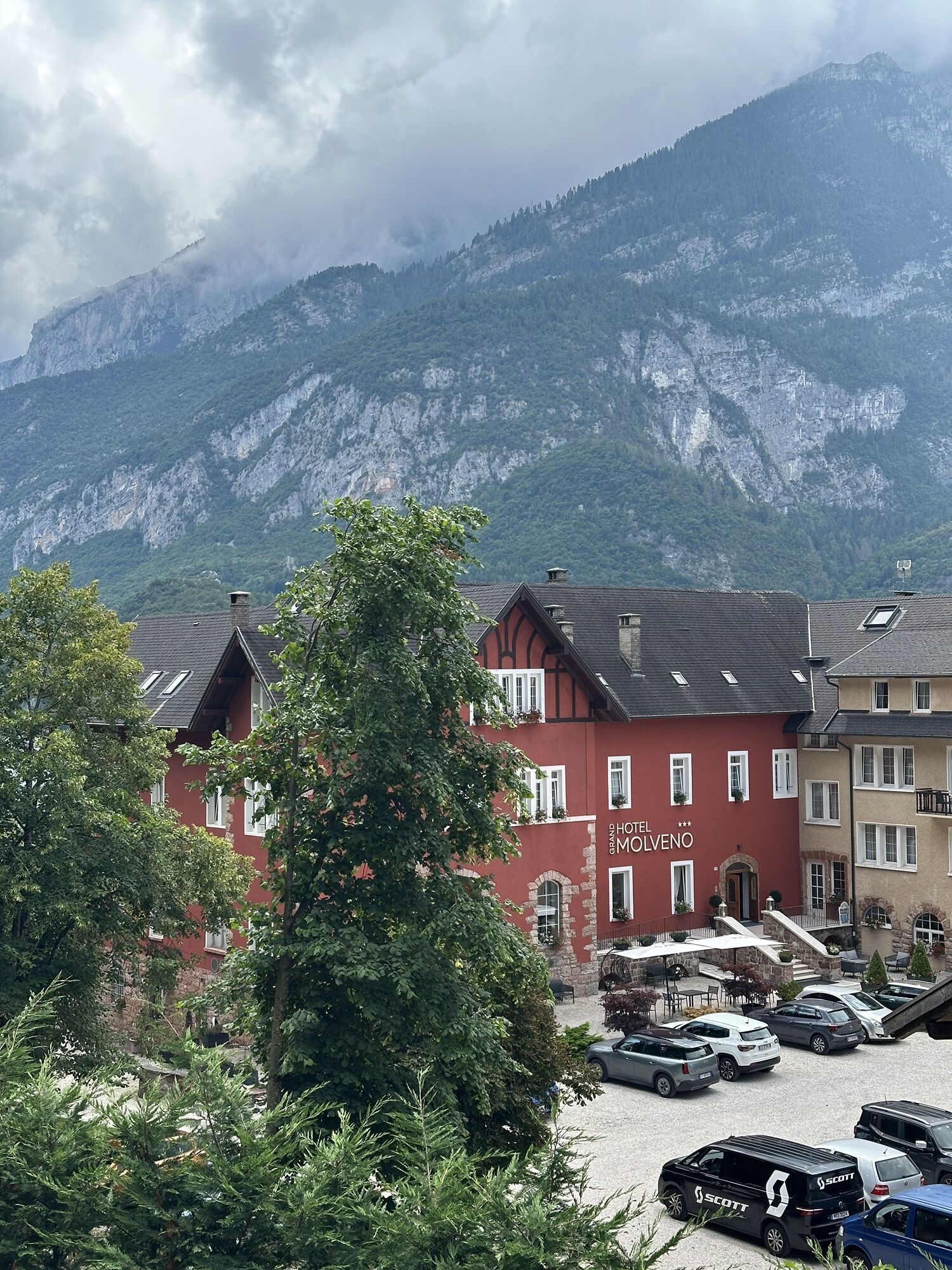
 © Astrid IlligGemaakt op 02.10.2023
 -
 © Astrid IlligGemaakt op 02.10.2023
 -
 © Astrid IlligGemaakt op 02.10.2023
 -
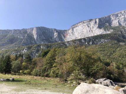
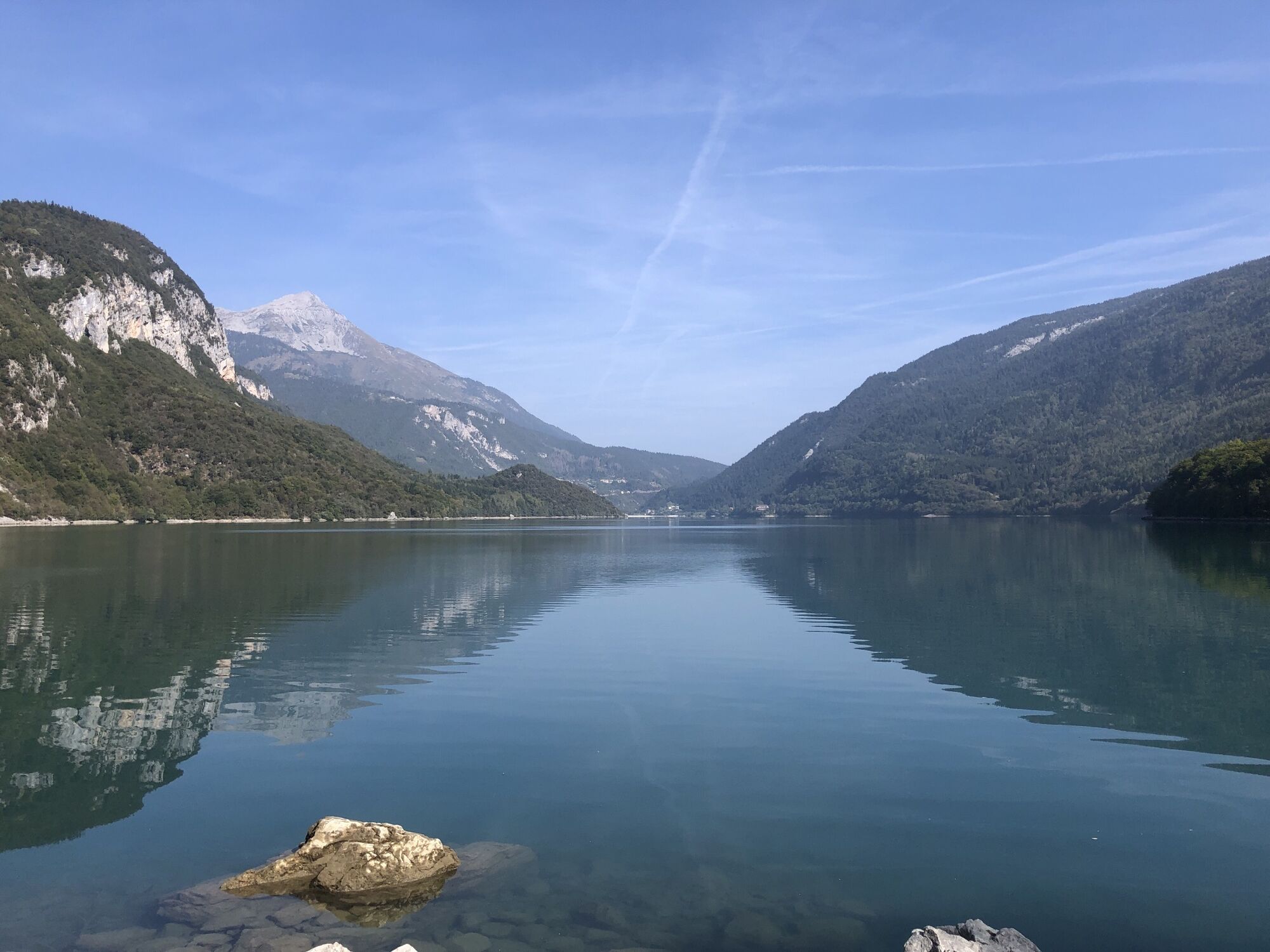
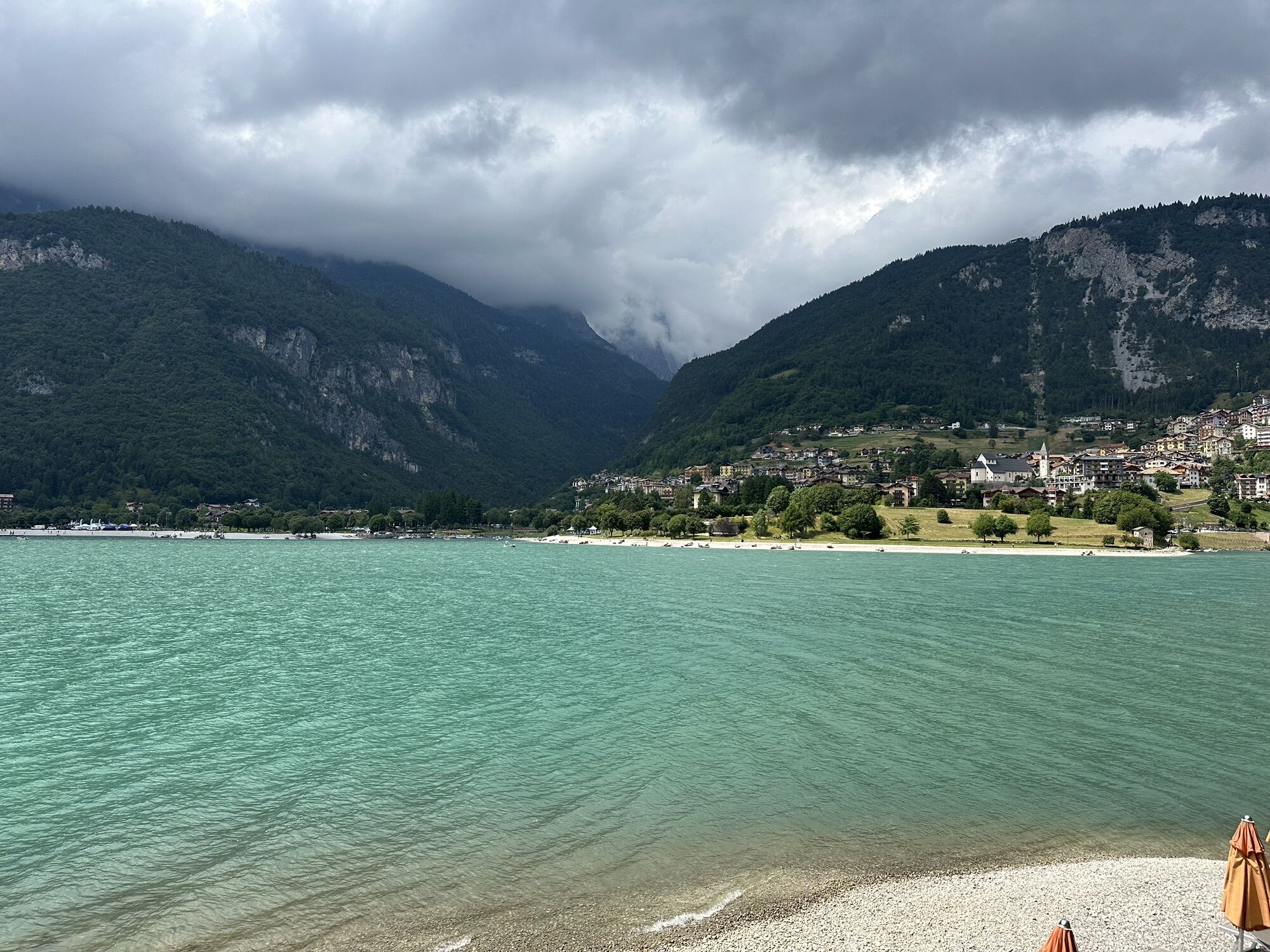
 © Elisabeth SiebererGemaakt op 21.08.2025
 -
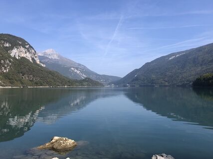
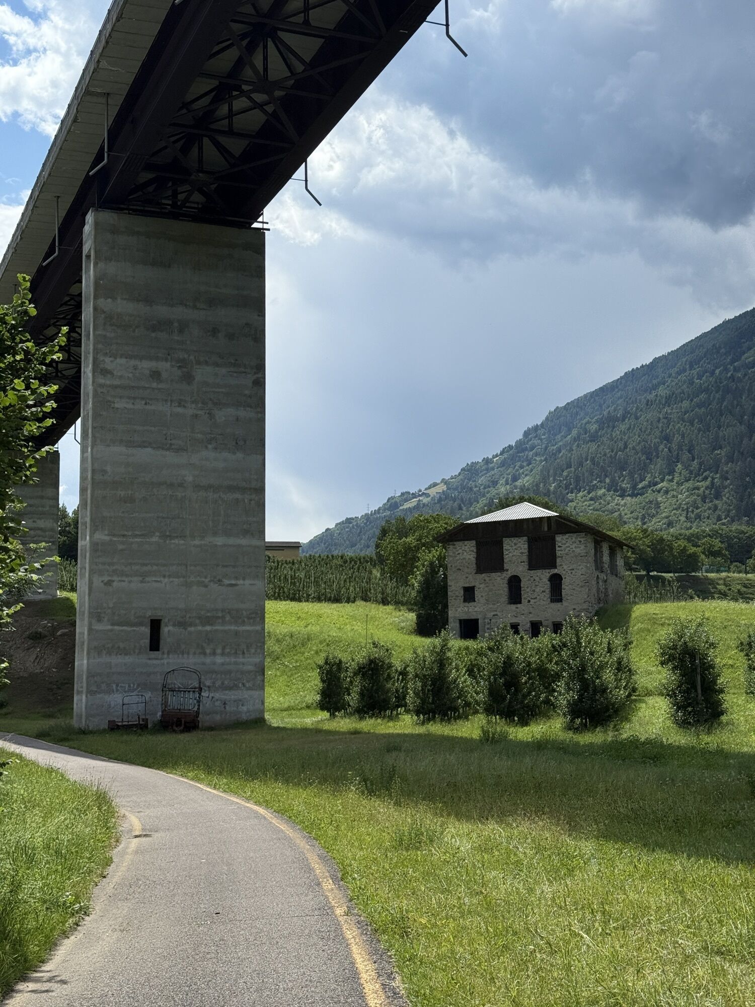
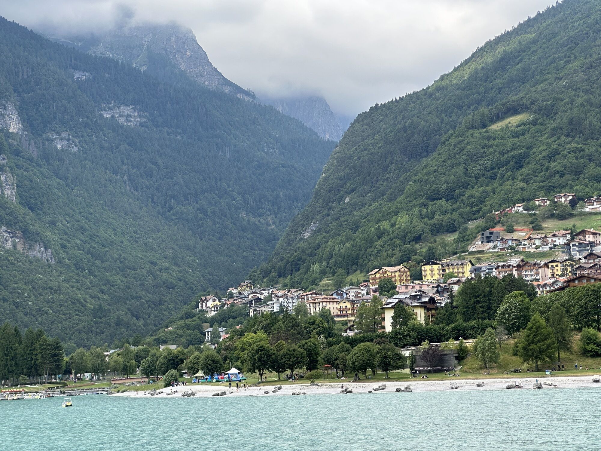
 © Nadir De NaleGemaakt op 01.07.2025
 -
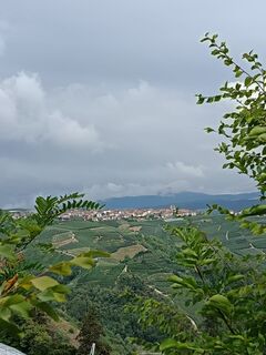
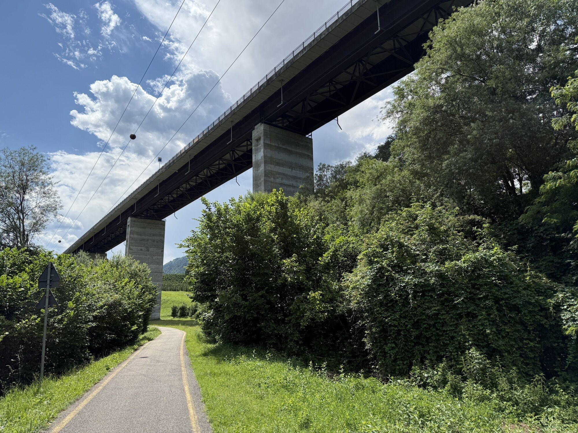
 © Nadir De NaleGemaakt op 01.07.2025
 -
 © lotharkoernerGemaakt op 20.07.2023
 -

 © Gerardo BrunettiGemaakt op 23.07.2021
 -
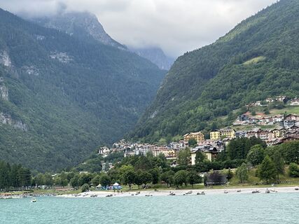
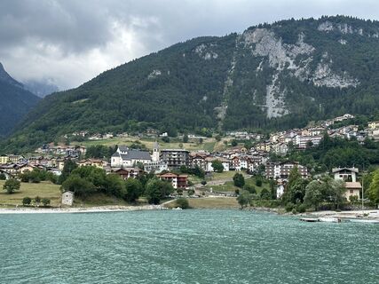
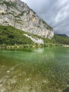
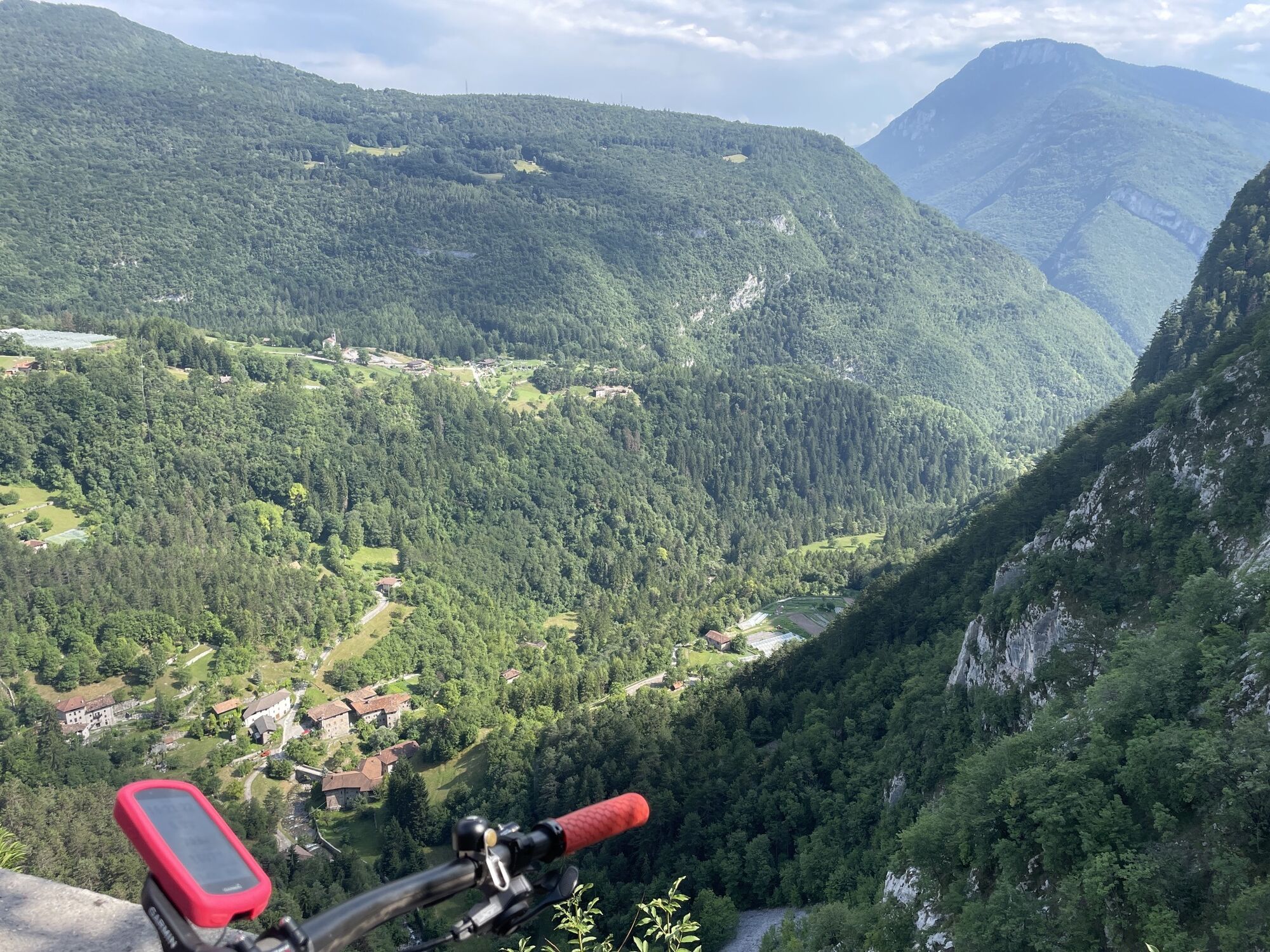
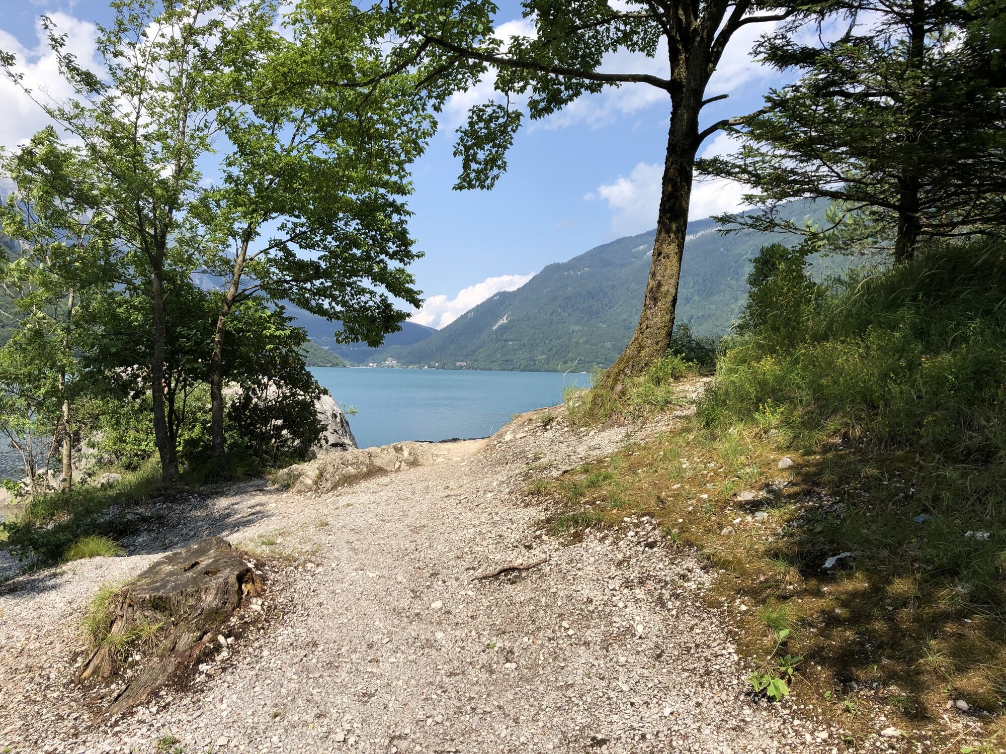
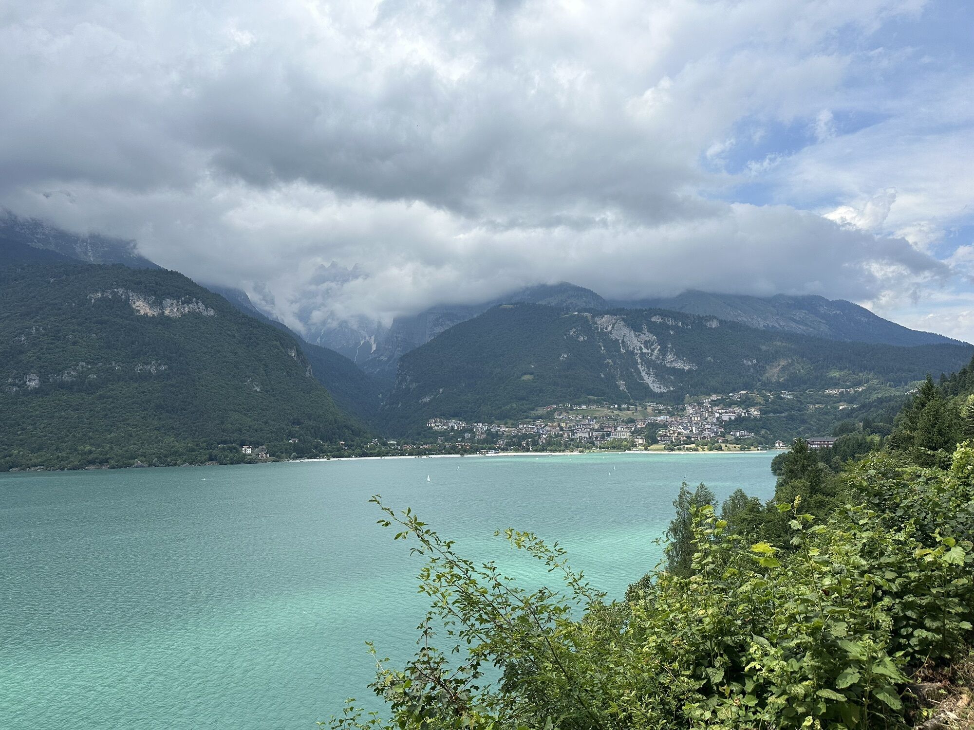
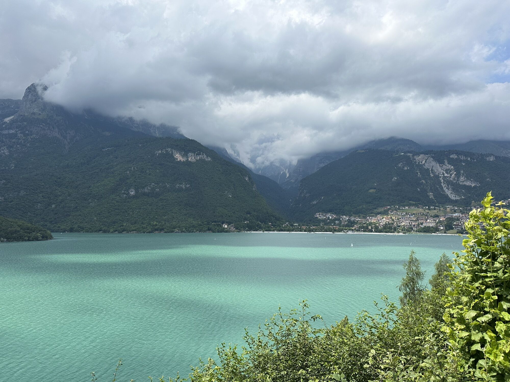
 © Ilya KulikovGemaakt op 12.07.2025
 -
 © Ilya KulikovGemaakt op 12.07.2025
 -
 © Ilya KulikovGemaakt op 12.07.2025
 -
 © Ilya KulikovGemaakt op 12.07.2025
 -
 © Ilya KulikovGemaakt op 12.07.2025
 -
 © Ilya KulikovGemaakt op 12.07.2025
 -
 © Ilya KulikovGemaakt op 12.07.2025
 -
 © Ilya KulikovGemaakt op 12.07.2025
 -

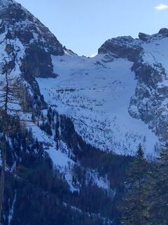
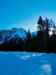
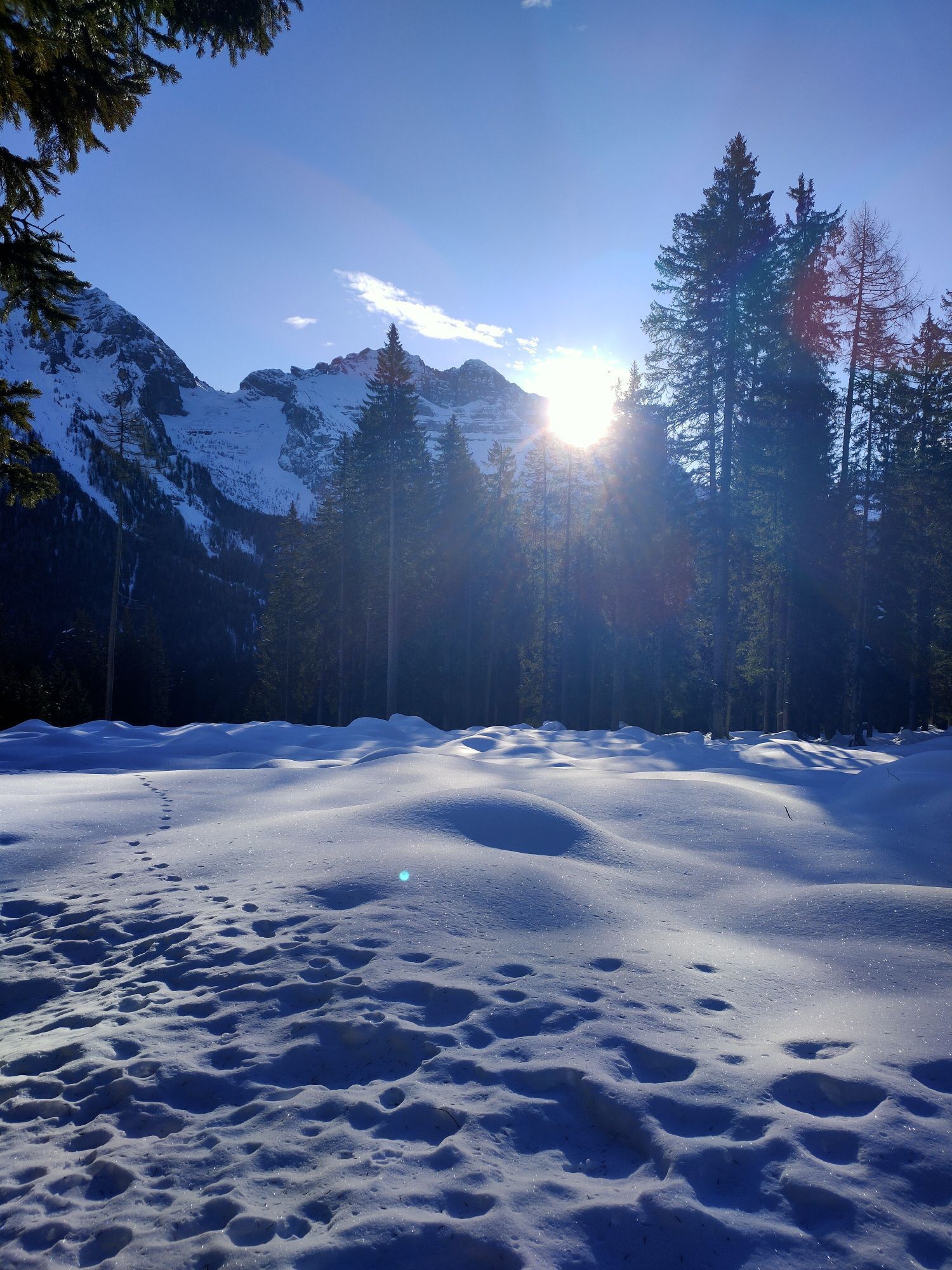
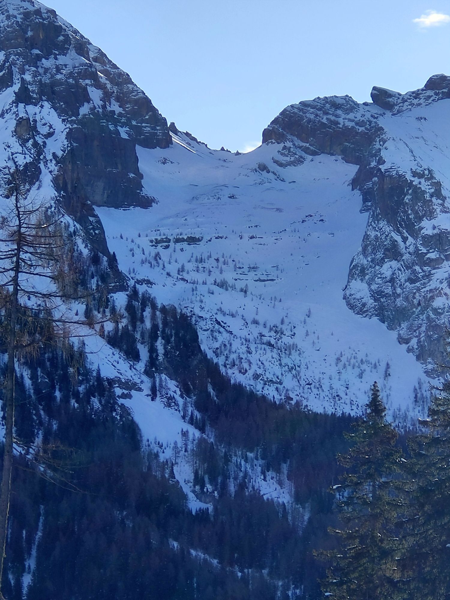
 © Sherpa 960Gemaakt op 16.02.2025
 -
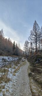
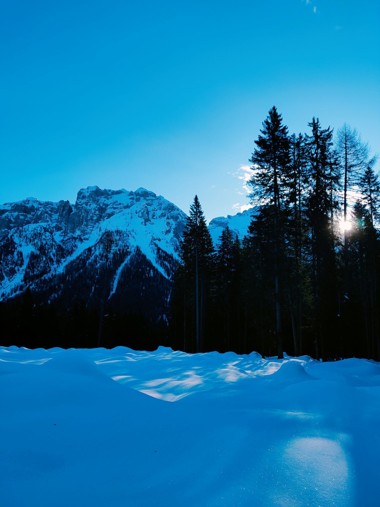
 © Sherpa 960Gemaakt op 16.02.2025
 -
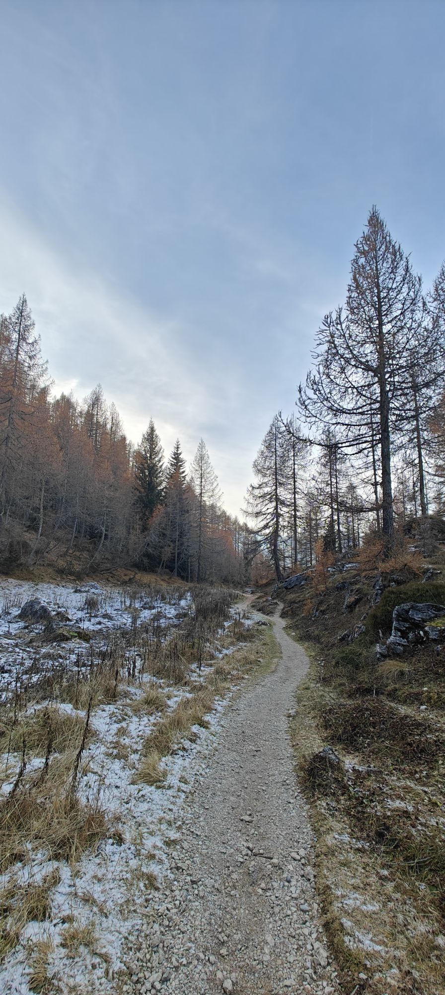
 © Sherpa 960Gemaakt op 16.02.2025
 -
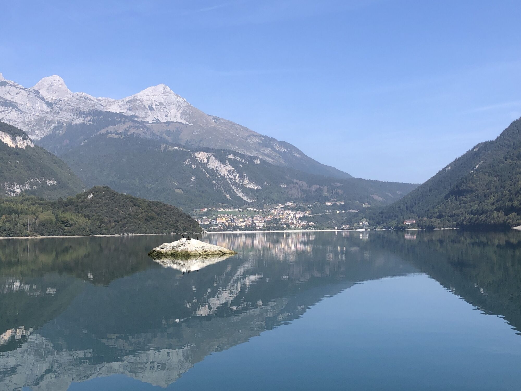
 © Daniele SpeziaGemaakt op 09.11.2024


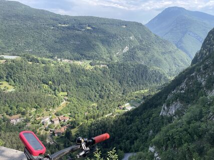
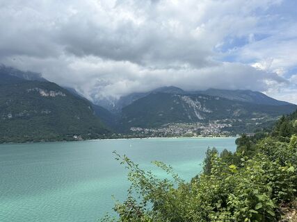
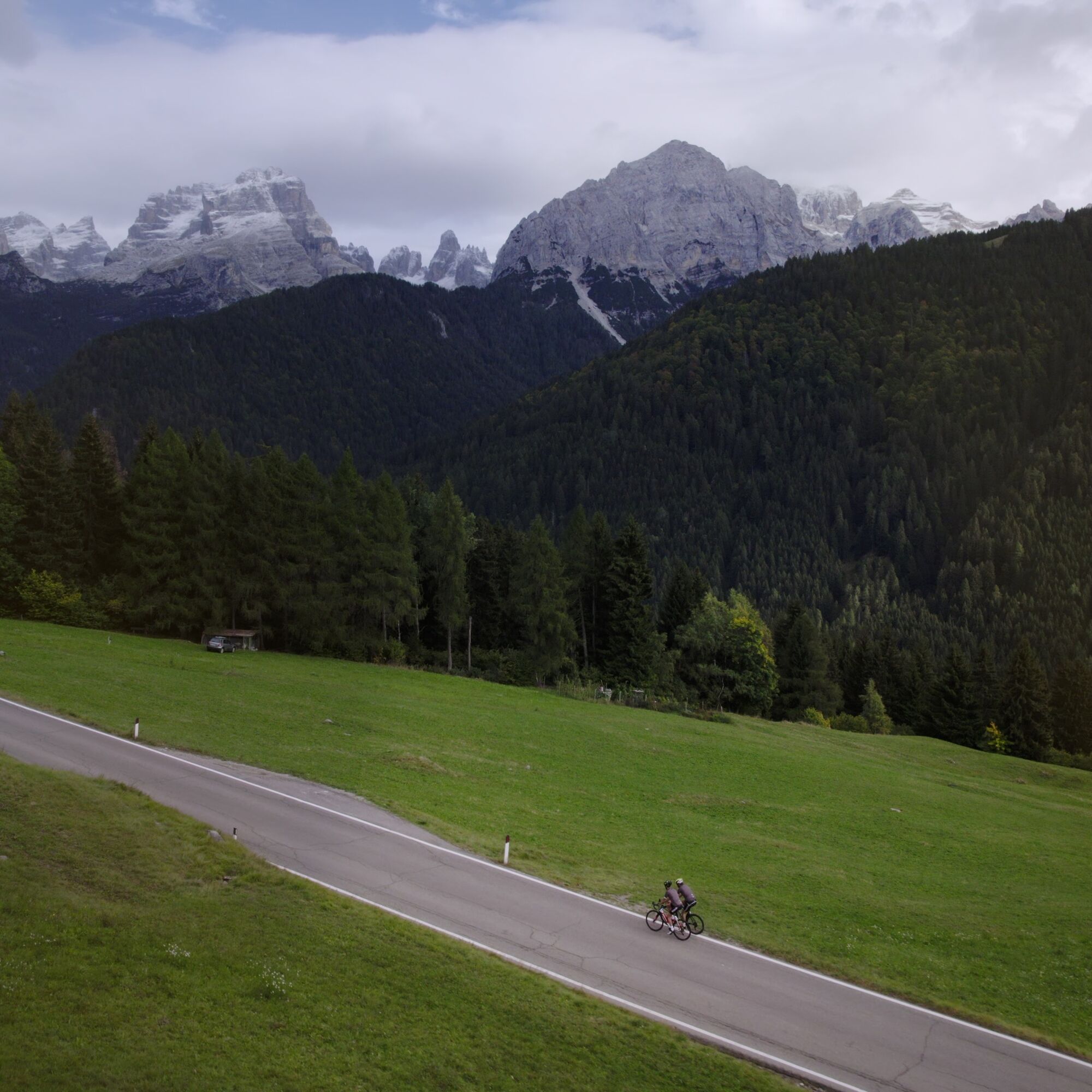
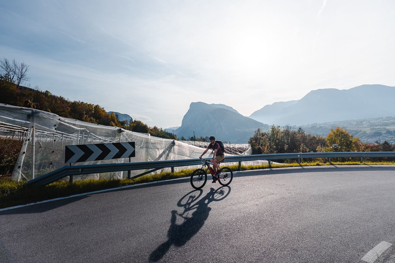
A breathtaking itinerary around the Brenta Dolomites, a UNESCO World Heritage Site. Departure from Ponte Arche, passing Madonna di Campiglio, at an altitude of 1700 metres at Passo Campo Carlo Magno, then...
A breathtaking itinerary around the Brenta Dolomites, a UNESCO World Heritage Site. Departure from Ponte Arche, passing Madonna di Campiglio, at an altitude of 1700 metres at Passo Campo Carlo Magno, then descending towards Val di Sole and Val di Non. An uphill sprint to Andalo and then downhill again to San Lorenzo in Banale, one of the Most Beautiful Villages in Italy, arriving in Ponte Arche.
Comano Terme / Ponte Arche – Stenico – Coltura - Ragoli - Preore - Javrè - Darè - Vigo Rendena - Pelugo - Spiazzo - Mortaso - Strembo - Caderzone Terme - Pinzolo - Carisolo - Sant'Antonio di Mavignola - Madonna di Campiglio - Campo Carlo Magno - Dimaro - Cles - Tuenno - Cunevo - Campodenno - Sporminore - Spormaggiore - Cavedago - Andalo - Molveno - San Lorenzo in Banale - Dorsino - Andogno - Tavodo - Villa Banale - Comano Terme/Ponte Arche
Riding your bike requires specific clothing and equipment, even for relatively short and easy trips. It is always better to be prepared… e.g. for bad weather or a drop your energy levels. The unexpected things also make up a part of the fun!
Remember to throughly evaluate the type of route you plan to do, the locations you plan to cross and the current season. Has it been raining? Attention: The paths may be slippery and require more caution.
What do I need to bring on my bike tour?
An adequate water supply according to your needs (considering temperature, possibility of refuelling and duration of the route) Plenty of snacks (for example, dried fruit or energy bars) Waterproof / Windproof jacket. A spare top / spare socks. (Descending in a sweaty garment, will make you cold) Suncream Sunglasses Bike gloves/mitts Map or GPS device Bike lights: best placed on your helmet or handlebars. (It is always best to be prepared) Bike repair kit for punctures and mechanical breakdowns First aid kit Emergency whistle
It is always advised to let someone know where you plan to go and how long you expect to be.
Emergency telephone number 112.
Give your bike a regular checkup, especially if you've had it for years.
Be seen: you must wear a high vis jacket (or sash) in tunnels and on country roads after sunset.
Always wear your helmet.
Make sure your front and rear lights are working.
Put out your arm to give advance warning of your intention to change position and before you do anything, check there are no vehicles coming up behind you.
Don't use headphones or your mobile phone handsfree kit: you need all your concentration on the road!
Obey the road signs: stop at traffic lights and don't ride on the wrong side of the road.
If you are cycling in a group, always go in single file.
You've got a bell: use it to let pedestrians know you're there. Don't ride on footpaths. If you have to then get off and push your bike.
If there are cycle paths use them. It's your safety that's at stake and the rules of the road say you must.
Bus station in Ponte Arche:
Linea B201 Trento - Ponte Arche
Linea B211 Riva del Garda - Ponte Arche
Parking lot in Ponte Arche at shop Poli.
4
From epic climbs to fast descents, every detail matters. Ride worry-free with help from our road cycling specialists: rentals, mechanics and guides who speak your language – the language of smooth tarmac and two wheels.
Webcams van de tour
-
Express Groste 1 / Nube d´Argento
-
Passo Grostè da Funivia 5 Laghi
-
Madonna di Campiglio - Grostè seggiovia
-
Madonna di Campiglio da Pradalago
-
Folgarida Malghet Aut / Family Park
-
Piste Delle Rocce - Val Mastellina
-
Cima Paganella
-
Cima Paganella
-
Cima Paganella
-
Cima Paganella
-
Cima Paganella
-
Cima Paganella
-
Cima Paganella
-
Cima Paganella
-
Pradalago - Madonna di Campiglio
-
Folgarida - Monte Spolverino
-
Marilleva - Copai Panciana
-
Madonna di Campiglio - Spinale
-
Madonna di Campiglio - Spinale
-
Piazza Brenta Alta
-
Madonna di Campiglio - Patascoss
-
Folgarida Marilleva
-
Folgarida Marilleva
-
Folgarida Marilleva
-
Folgarida Marilleva
-
Folgarida Marilleva
-
Folgarida Marilleva
-
Monte Vigo
-
Canalone Miramonti - 3tre Ski World Cup
-
Madonna di Campiglio - Patascoss
-
Madonna di Campiglio - Patascoss
-
Madonna di Campiglio - Patascoss
-
Madonna di Campiglio - Patascoss
-
Monte Vigo
-
Monte Vigo
-
Monte Vigo
-
Monte Vigo
-
Cima Paganella
-
Folgarida Dorf - Gondelbahn Belvedere Platz
-
Folgarida Marilleva
Populaire rondleidingen in de buurt
-
4,2
Malga Movlina and Rifugio XII Apostoli
mediumWandelen 11,5 km -
5,0
Val Ambiéz: walking in the Brenta Dolomites
zwaarWandelen 18,1 km -
3,5
Rifugio Selvata
mediumWandelen 12,1 km -
5,0
Andalo-Molveno-rifugio croz dell' altissimo e rit.
lichtWandelen 18,5 km -
On Monte Valandro
mediumWandelen 10,3 km -
XII Apostoli
zwaarWandelen 11,7 km -
5,0
Pedrottihütte
mediumWandelen 9,82 km -
The S. Vili’s path: through Deggia, Moline & Ranzo
mediumWandelen 14,0 km -
5,0
Monte Gazza - Tour
zwaarMountainbike 47,4 km -
Val Algone: discovery trail in Parco Naturale Adamello Brenta
mediumWandelen 7,17 km

Wandelen en spoorzoeken


Mis geen aanbiedingen en inspiratie voor je volgende vakantie
Uw e-mailadres is toegevoegd aan de mailinglijst.