


Discovering the porphyry quarries


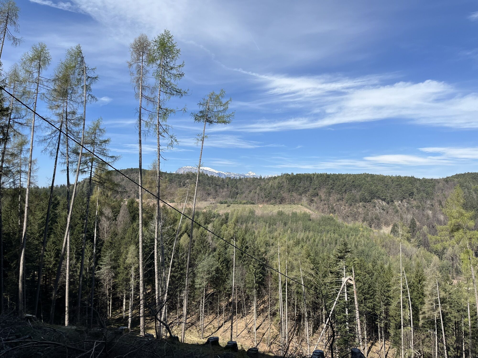
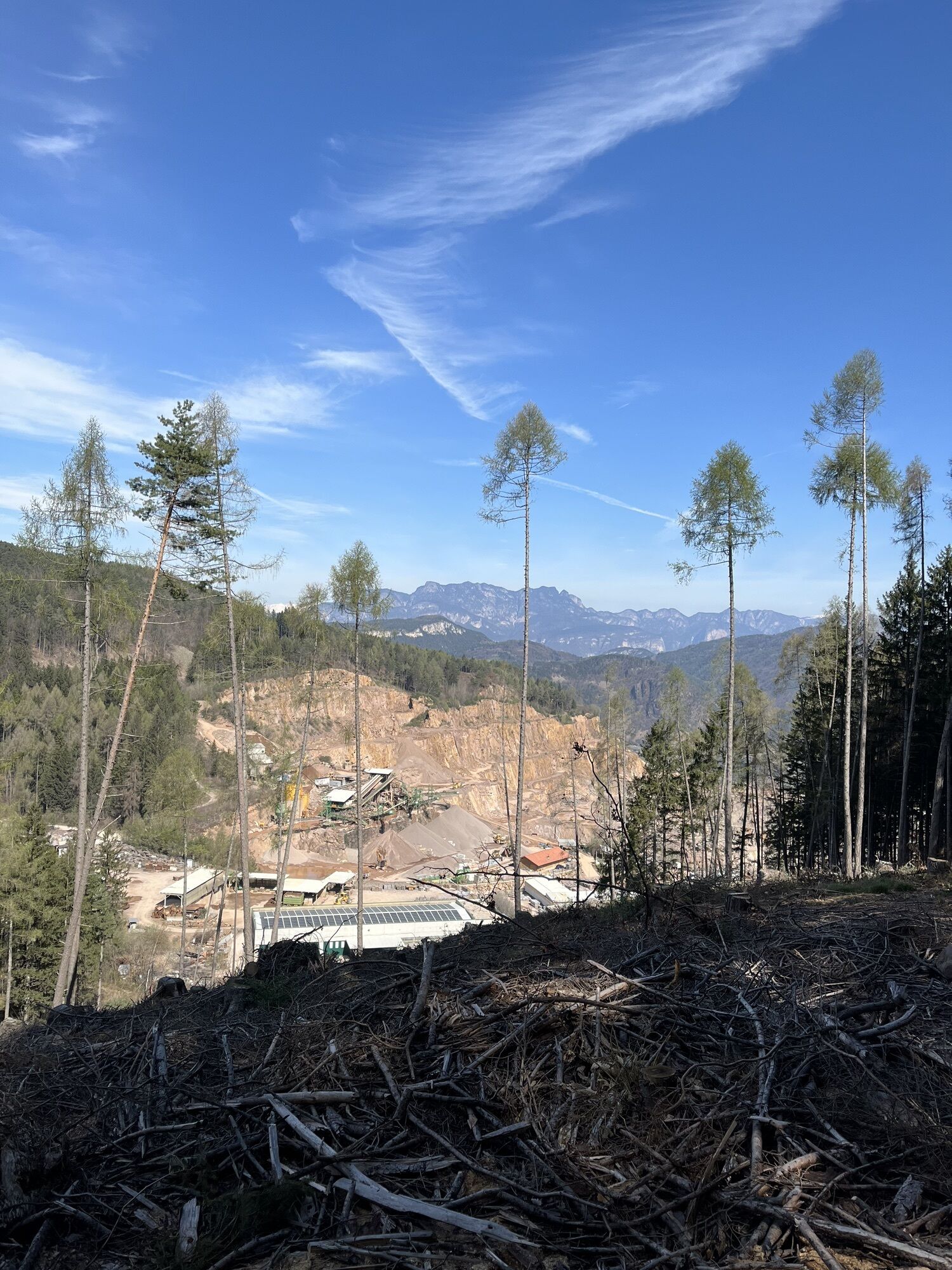
Alongside the natural beauties, the notable presence of man stands out with numerous porphyry quarries.
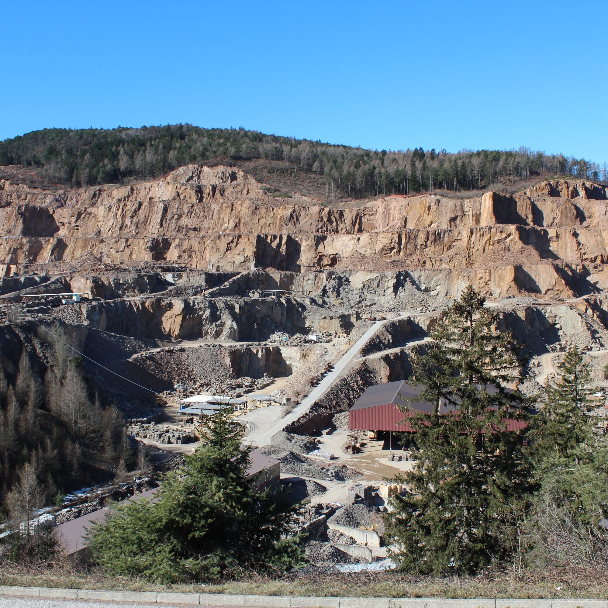
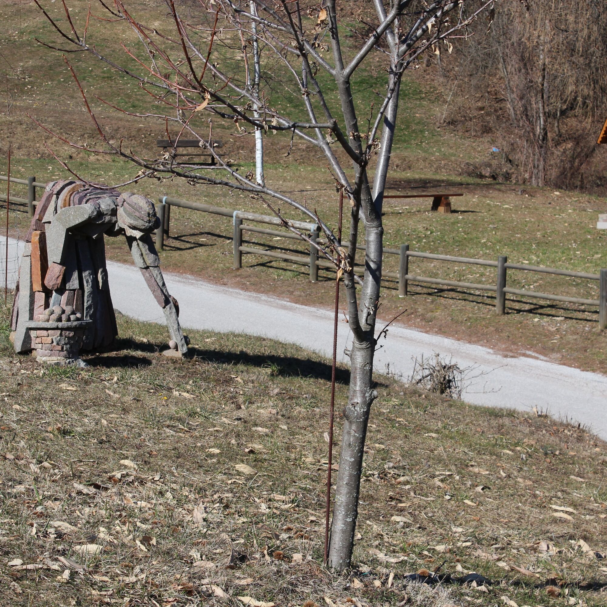
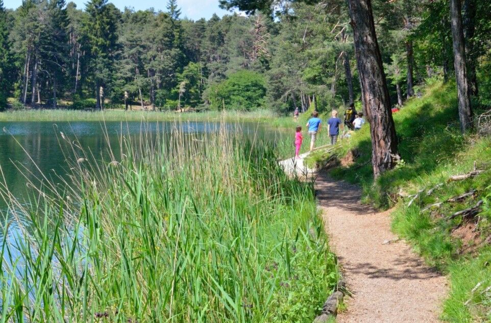
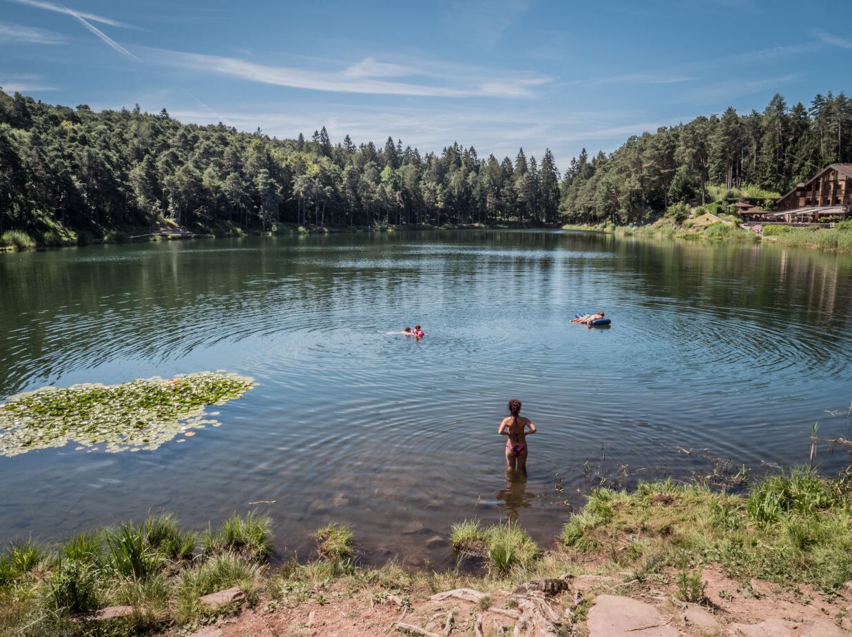
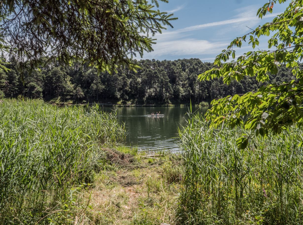
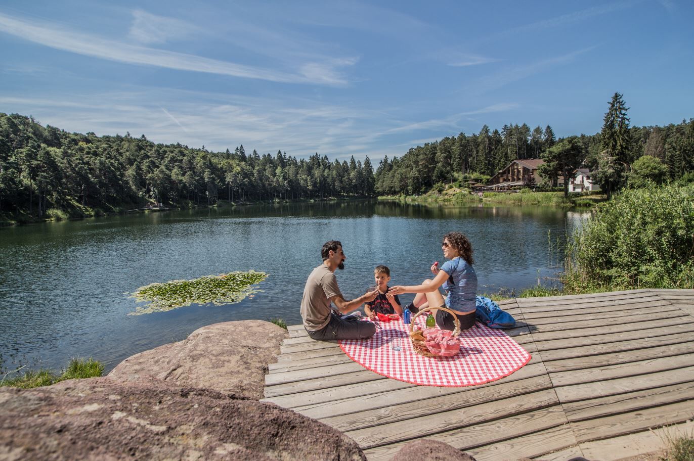
From the Albiano sports hall, you immediately start uphill on an asphalt road with little traffic towards Lake Santa Colomba; you pass the locality Spiazzi and reach a small playground and a fountain. Continuing along the now flat road, you cross a short stretch of an area designated for porphyry extraction until you reach the road that goes up to Lake Santa Colomba in the locality Pra Nardot. Following the signs for Mongalina, you enter the forest on a comfortable forest road, passing the pleasant meadows of Mongalina until a crossroads; here you follow the signs for Lake Santa Colomba (trail no. 421) on a path, first on flat terrain and then definitely uphill, and reach the lake with the possibility of refreshments at the homonymous hotel. You continue along trail 421 which, passing near Doss dei Brusadi (reachable shortly by following the existing signs), leads towards the locality Pian del Gacc. Upon arriving at the locality La Malga, instead of taking the asphalt road that leads to Pian del Gacc, you continue on a dirt road slightly uphill towards Montepiano where, following “the Gnome Path,” it is possible to observe wooden sculptures that tell, to those who know how to listen, the stories of the forest; shortly you arrive at the locality Pra della Casara. Now following the signs for Pian del Gacc/MontePiano and Gnomes Path (no. 16), you proceed through the forest with some ups and downs until you meet a fork that shortly leads onto the asphalt road heading to the locality Pian del Gacc where refreshments are available. From Pian del Gacc, following the signs for Albiano, on a beautiful path mostly downhill, you reach once again the town of Albiano and from there shortly the starting point.
Ja
Trekking shoes, waterproof jacket, trekking poles, water, sunscreen.
THE 10 RULES FOR HIKERS
Study and prepare your itinerary well Choose a route suitable for your physical condition Bring suitable clothing and equipment Check the weather forecast Starting alone is risky, bring your mobile phone Leave information about your itinerary and approximate return time If unsure, do not hesitate to rely on a professional Pay attention to the signs and markers you find on the route In case of tiredness or problems, do not hesitate to turn back In case of accident call the number 112
As you can imagine, the passability of routes in a mountain environment is closely linked to the contingent conditions and therefore depends on natural phenomena, environmental changes, and weather conditions. For this reason, the information contained in this sheet may have changed. Before setting out, check the condition of the route by contacting the managers of the refuges on your route, the alpine guides, the visitor centers of natural parks, and tourism offices.
Coming from the A22 Brenner motorway, both from the south and north, exit at the Trento north tollbooth (distance from the exit 22.5 km), drive along the S.S. 12 del Brennero heading north until the Lavis junction, then take the S.S. 612 Lavis - Castello di Fiemme which leads to the Cembra Valley.
Albiano is reachable by the B103 line of the suburban public transport.
Free parking at the Sports Hall.
Tourist Office Altopiano di Piné - Tel. +39 0461 557028 - info@visitpinecembra.it – www.visitpinecembra.it
We recommend visiting the Casa Porfido Museum, located in the historic center of Albiano.
Populaire rondleidingen in de buurt
- 3,8
Rio Secco (D)
Klettersteig2,42 km - 4,7
Burrone Klettersteig (B)
Klettersteig4,30 km - 4,2
Klettersteig Rio Secco
mediumKlettersteig2,84 km - 5,0
Frotten-lago di Erdemolo-rif.Sette Selle
mediumWandelen11,4 km Ijsmeertje. Lago Erdemolo. Palù del Fersina, Trentino-Alto Adige/Italia
mediumWandelen8,81 kmForte Busa Granada
lichtWandelen3,01 kmThe panoramic viewpoint on Monte Corona
lichtWinterwandelen4,93 kmValle dei Laghi Trail-Tour
zwaarMountainbike43,8 kmCaldonazzosee, Italien
lichtWandelen7,95 km- 4,5
Caldonazzo - Levico
mediumFietsen18,9 km
Wandelen en spoorzoeken


Mis geen aanbiedingen en inspiratie voor je volgende vakantie
Uw e-mailadres is toegevoegd aan de mailinglijst.