


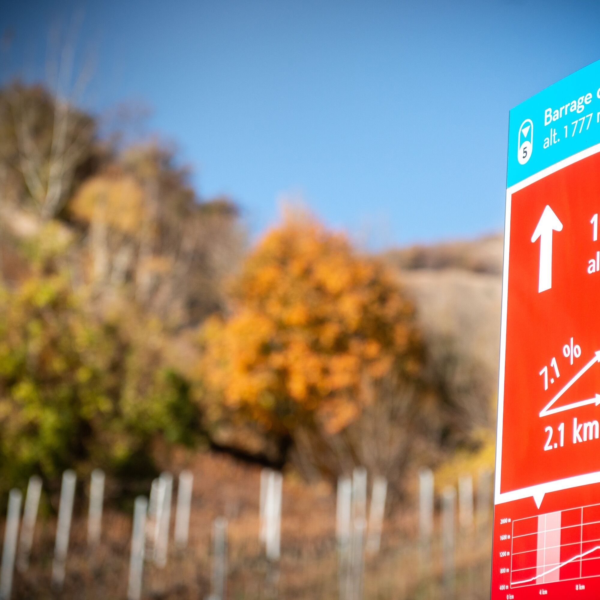
Tseuzier – Dam Trophy
Moeilijkheidsgraad: 4


In the municipality of St-Léonard VS, where the ascent to the Tseuzier dam begins, lies the largest underground lake in Europe. The route winds through the vineyards of Combe de Voos and takes you step...
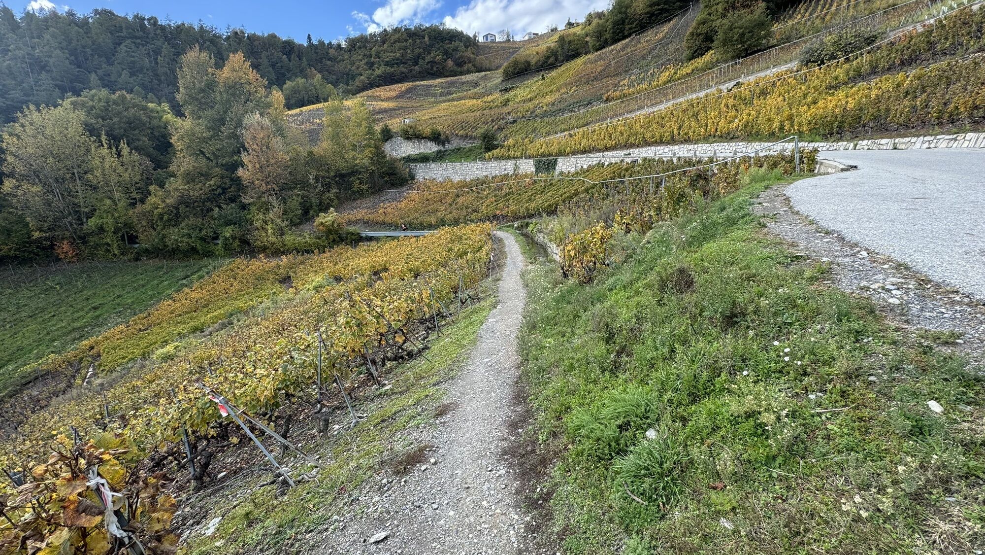
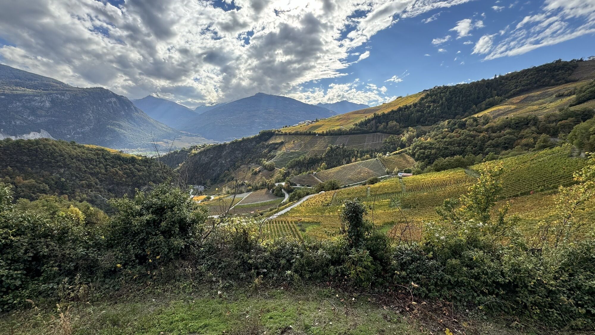
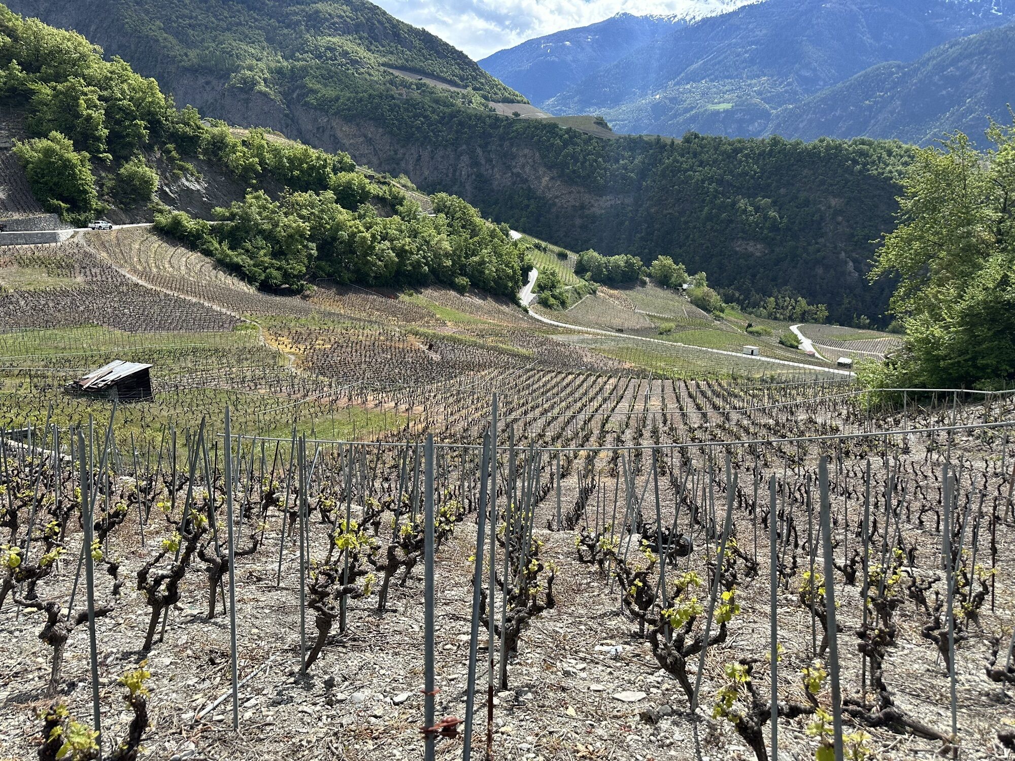
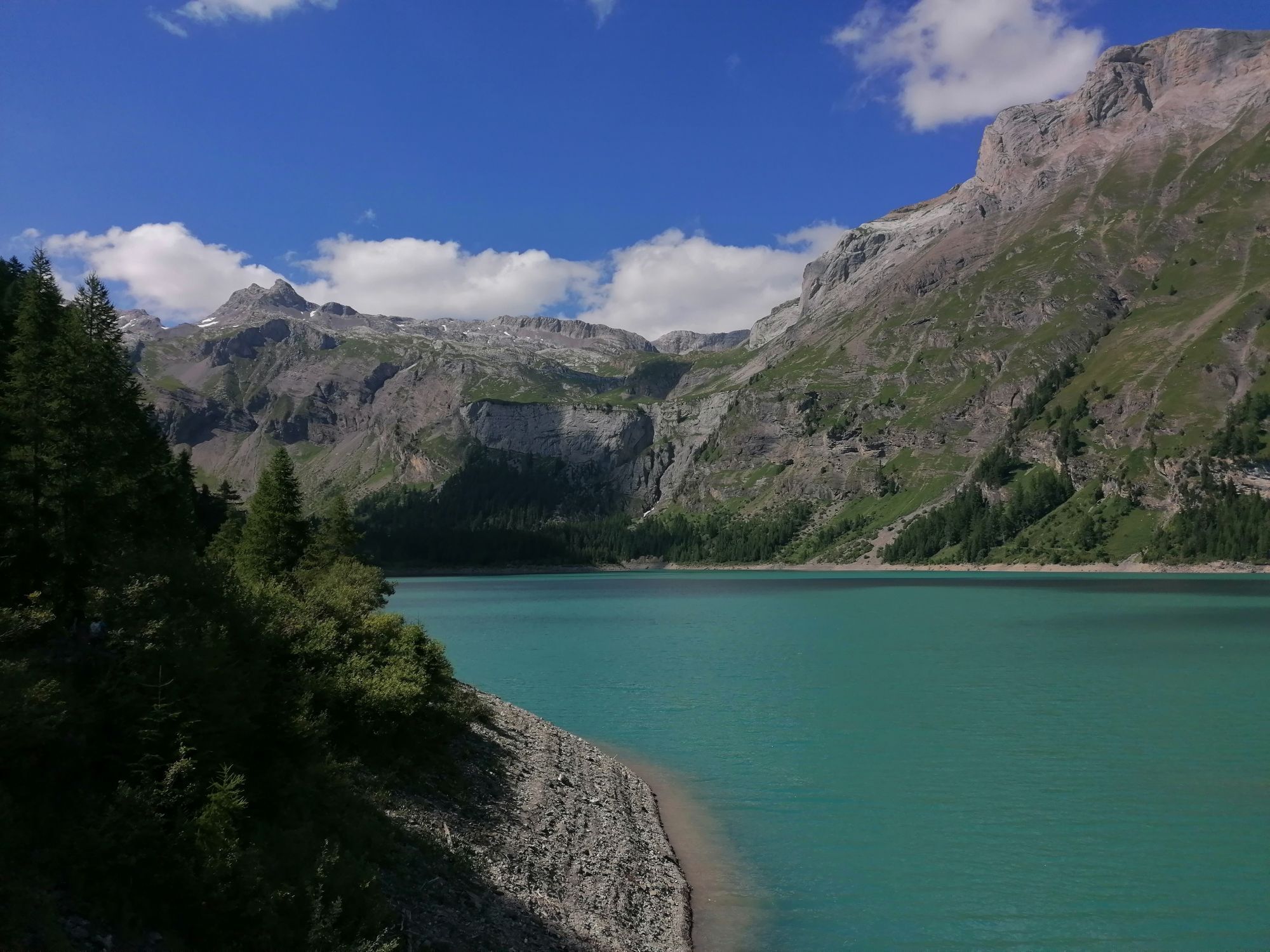
In the municipality of St-Léonard VS, where the ascent to the Tseuzier dam begins, lies the largest underground lake in Europe. The route winds through the vineyards of Combe de Voos and takes you step by step higher up to the village of Botyre. Afterwards, the road climbs steeply along the Liène and through the forest. In some bends, you can really enjoy the view of the highest mountain peaks on the other side of the valley. After a few more hairpin bends, you finally reach Lac de Tseuzier, whose crystal-clear water reflects the surrounding peaks.

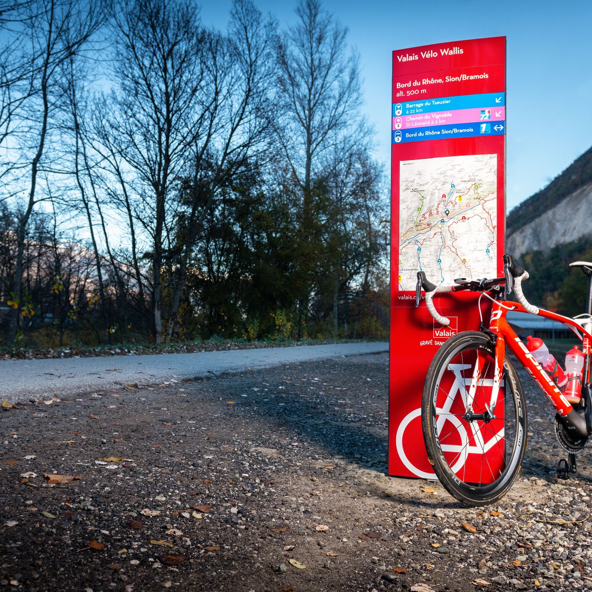
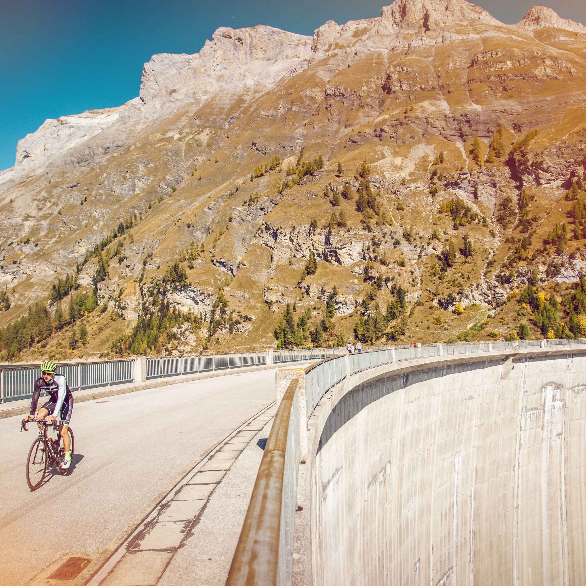
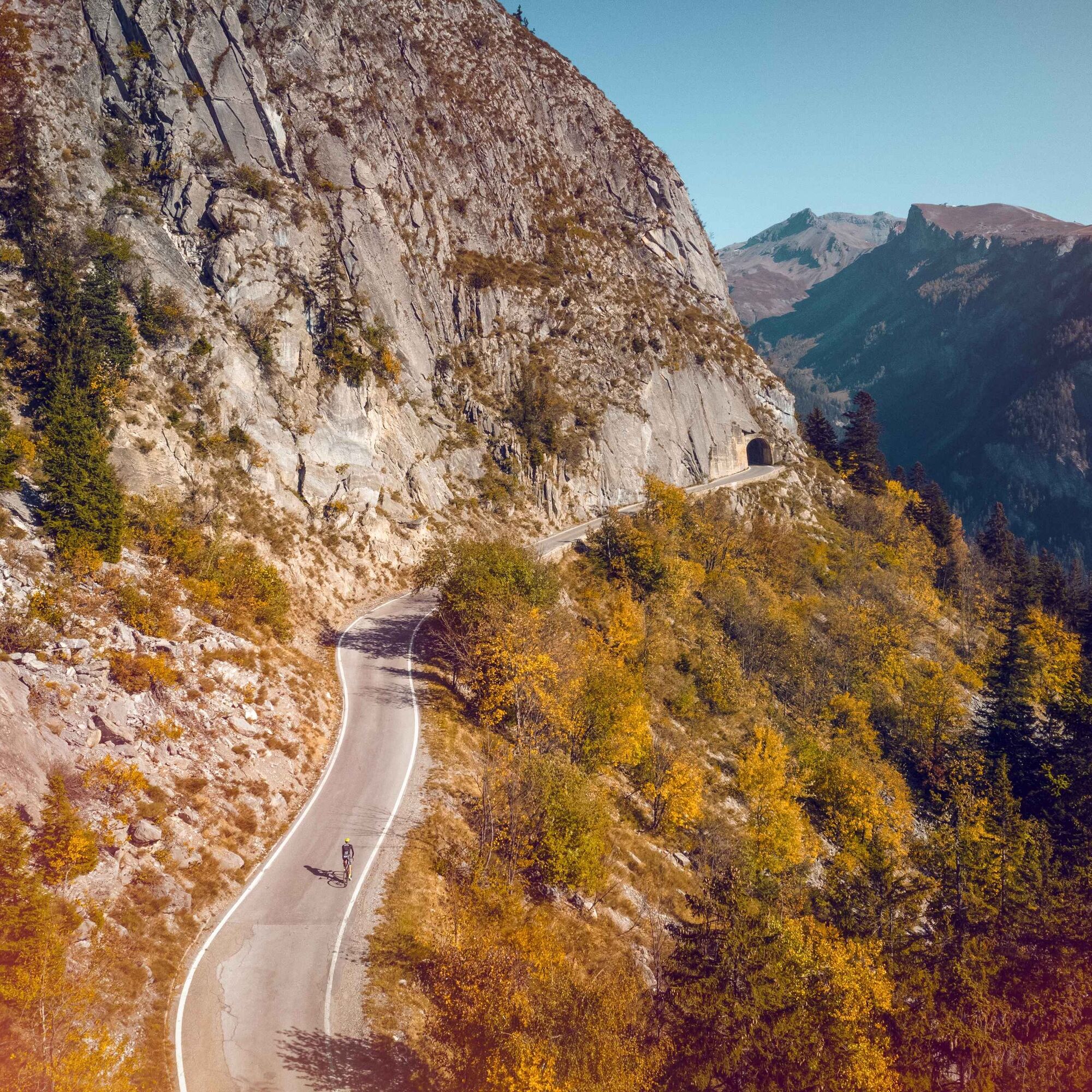
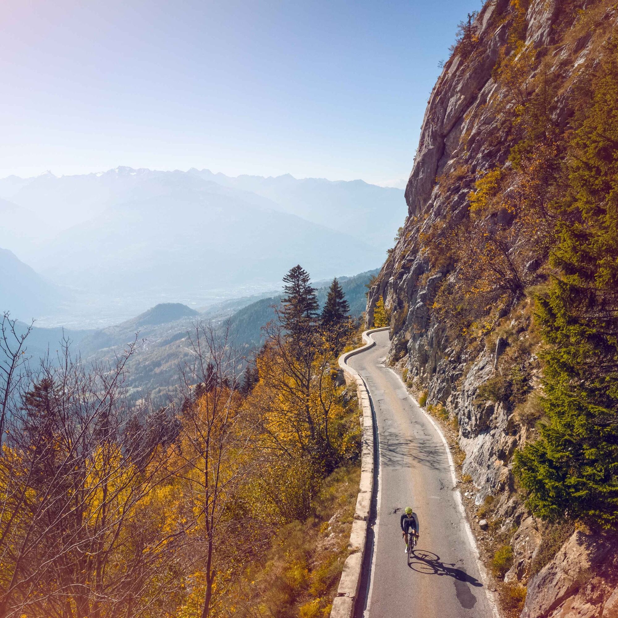
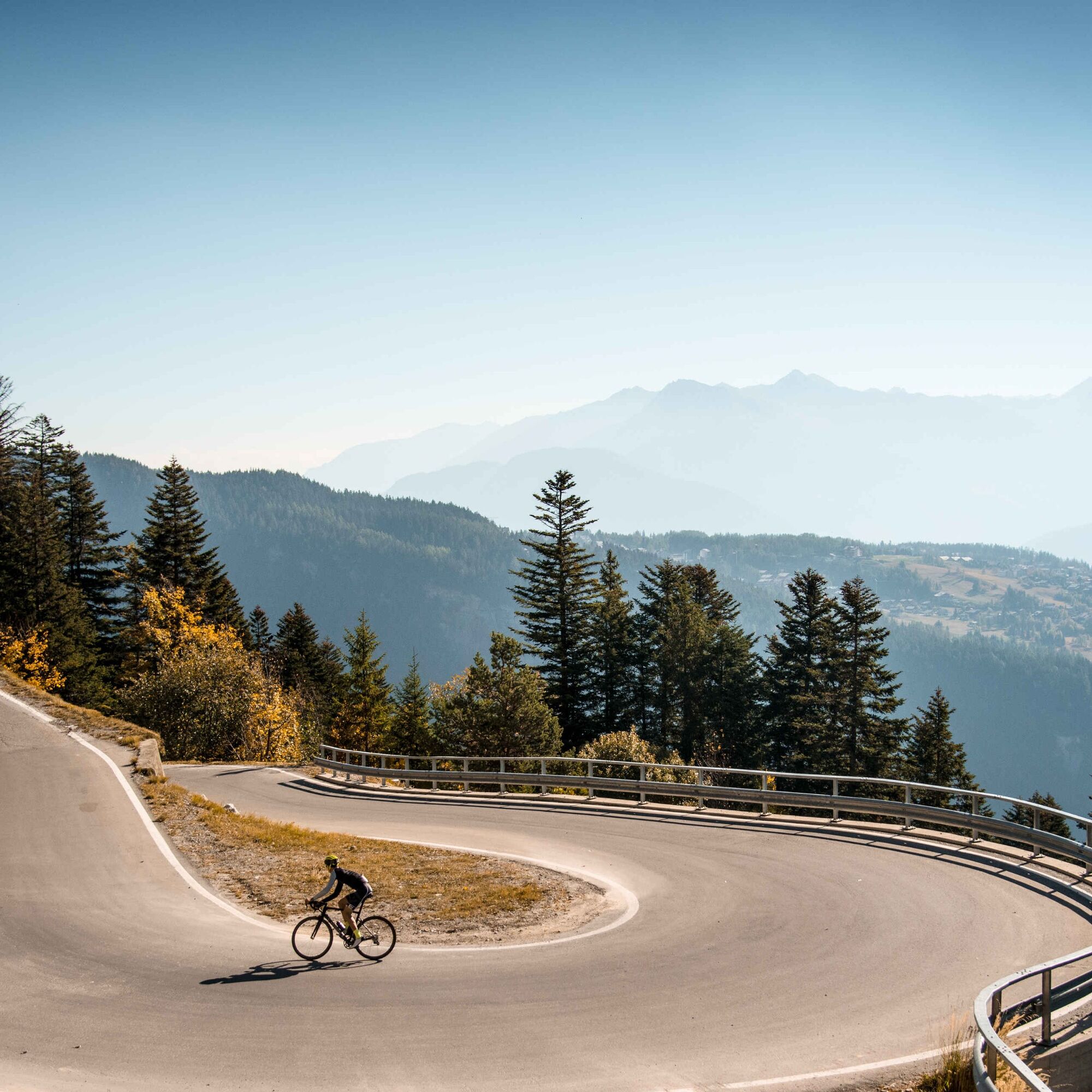
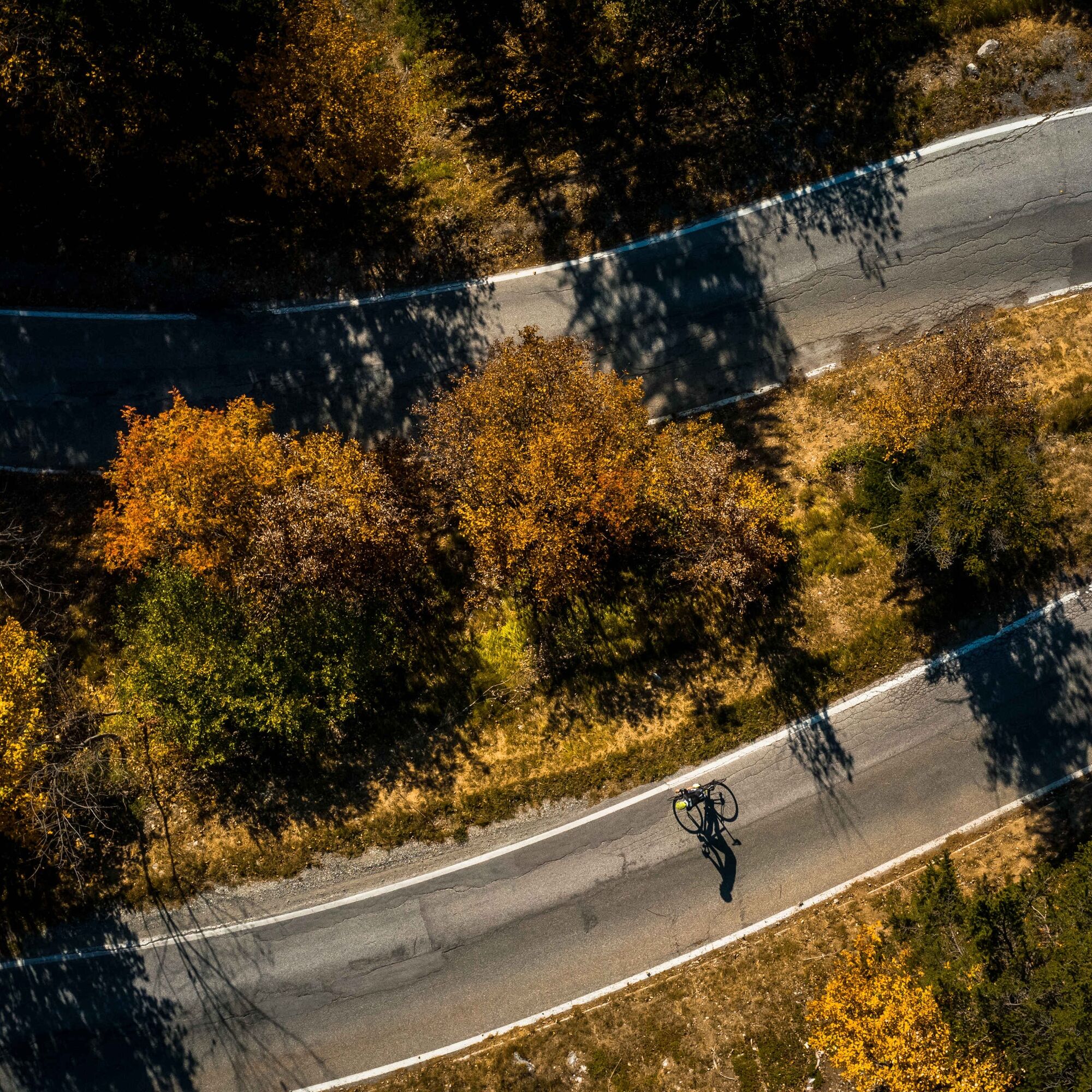
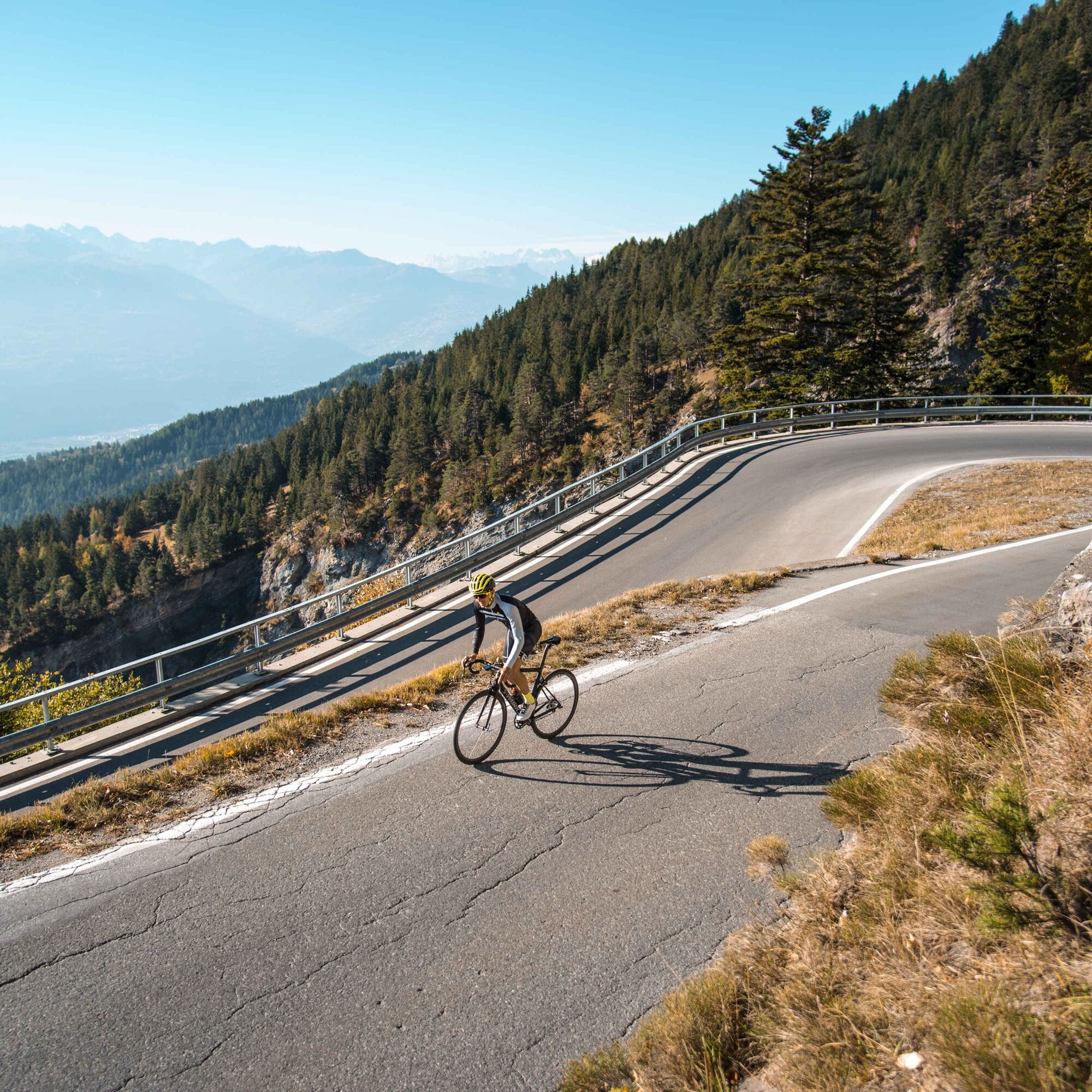
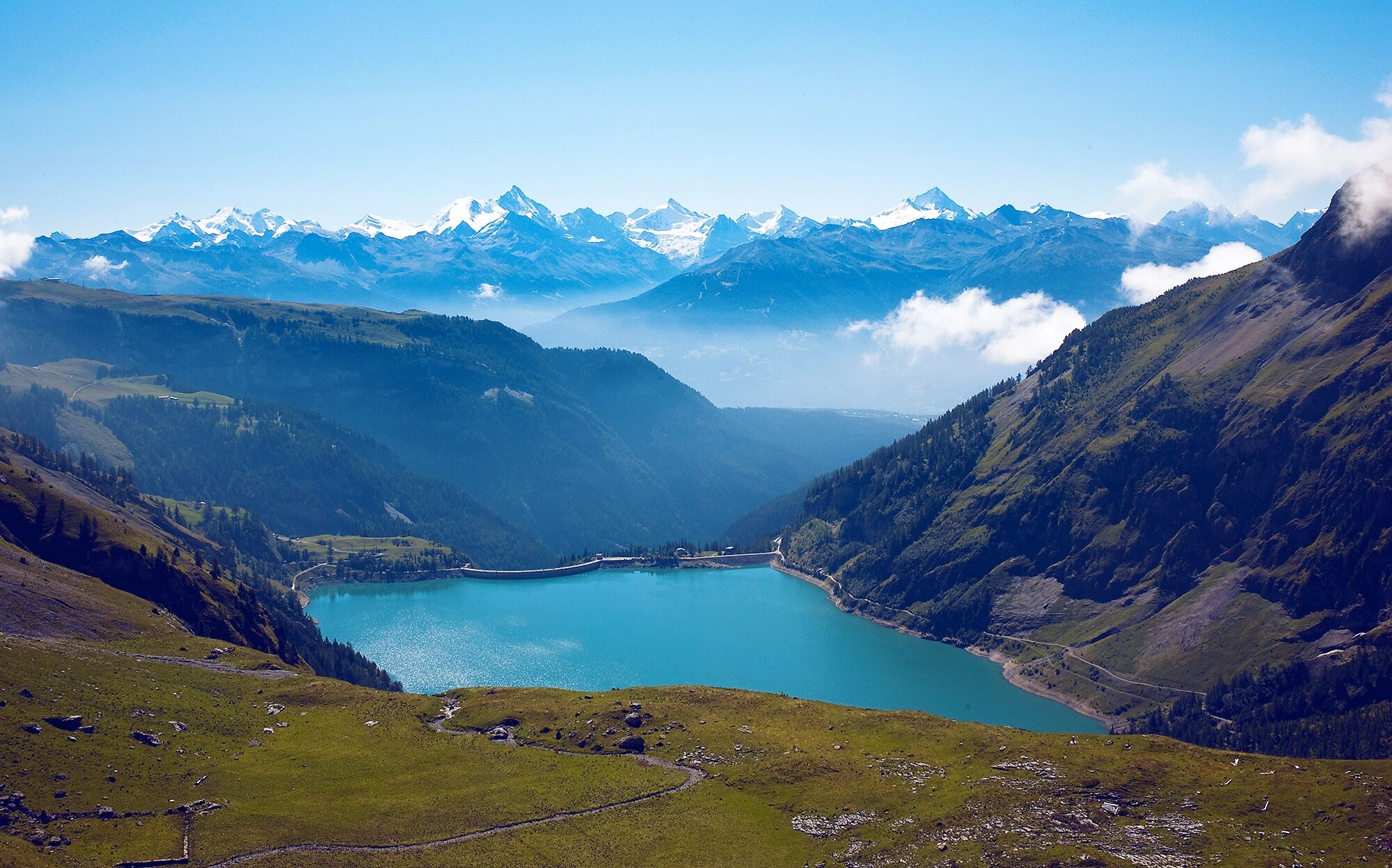
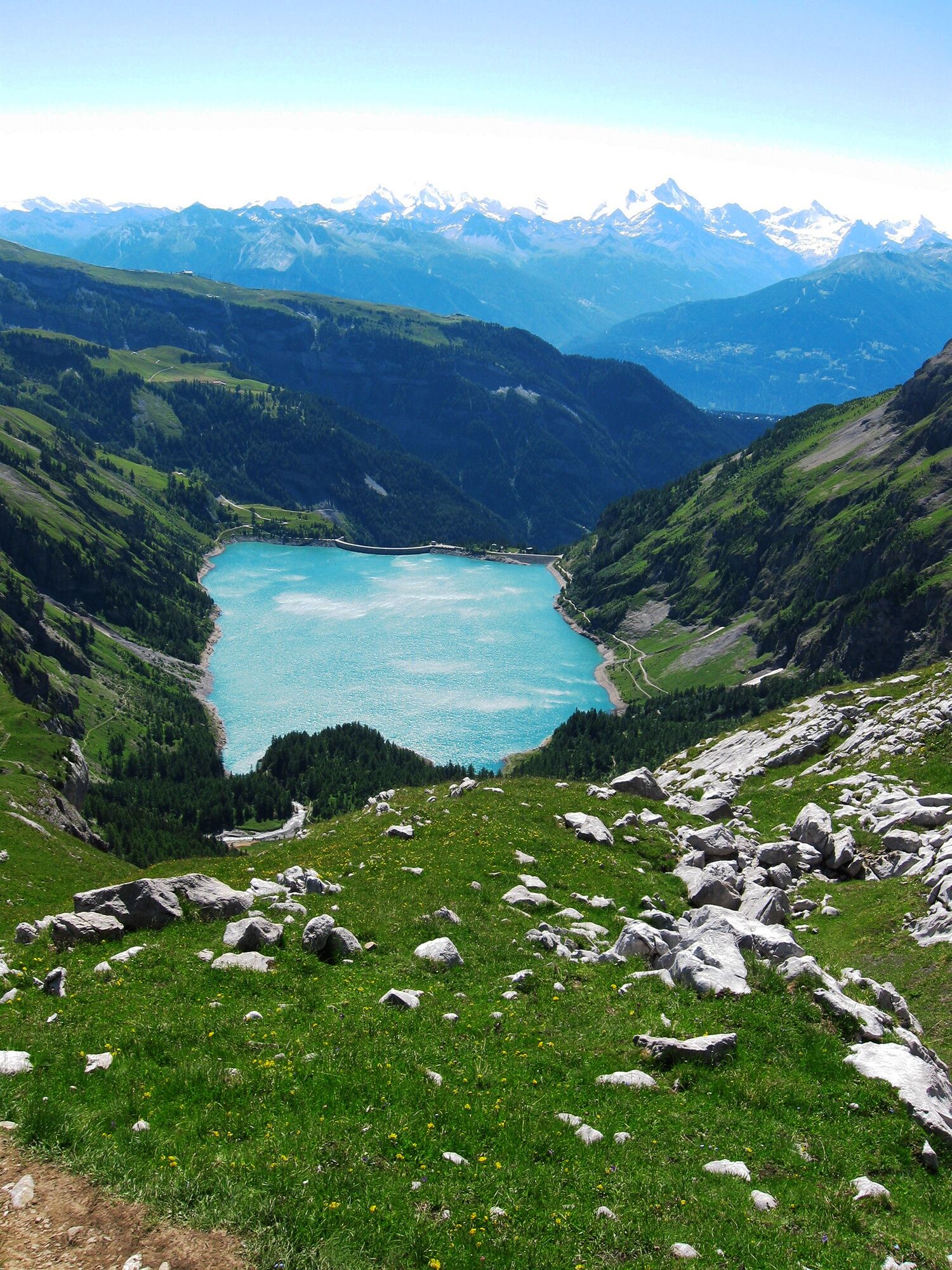
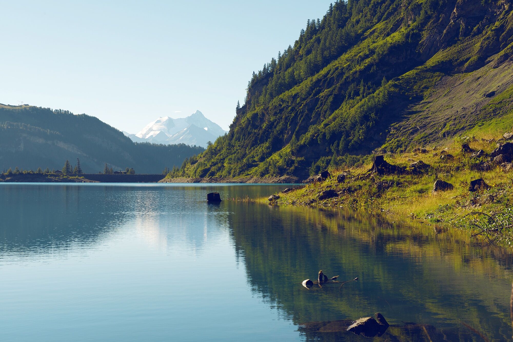
The route starts in Bramois and takes you to St-Léonard, on the other side of the Rhone valley. At this village, you first pass through an exceptional vineyard: watch out for the rose bushes and fig trees! In summer, you can often hear the song of cicadas here, making you feel almost like you are in Provence during the first kilometers of the ascent. From Botyre, the landscape becomes increasingly alpine and the road narrower and narrower. With every meter on the way to one of the few Valais reservoirs north of the Rhone, the panorama gradually reveals the highest peaks of the Valais Alps. Once at the pass height, the crystal-clear water of Lac du Tseuzier will revive even the most exhausted cyclist, and the view of the Rawil Pass at the end of the valley will make you forget all the hardships suffered since the start in St-Léonard.
Ja
Our recommendation: technically flawless bike, helmet, gloves and bell, clothing appropriate to the weather (always bring rain protection), drink and food.
Respect the rules of Swiss road traffic. Use of this route is at your own risk, any liability is excluded. Respect the flora and fauna in your surroundings. For your safety, we recommend wearing a bike helmet. Emergency numbers: 144 ambulance / 117 police / 1414 Rega
Coming from Lausanne: motorway A9 to exit 27 (Sion East), then turn right. Follow the route to "Bramois".
Coming from Brig/Visp: motorway A9 to exit 28 (Sierre West), then turn left. Follow the route to "Bramois".
Regular train connections to Sion or Sierre, then bus connection to Bramois (or Uvrier).
The start of the route is located at "Terrain des Peupliers" on the banks of the Rhone.
Parking spaces available in the village of Bramois. Follow the local parking guidance system.
The start of the route is located at "Terrain des Peupliers" on the banks of the Rhone.
4
More information: Anzère
Visit the largest underground lake in Europe in St-Léonard.
Populaire rondleidingen in de buurt
- 4,0
Belvédère via ferrata
mediumKlettersteig1,81 km - 4,0
Tripon - Brac – Ancien Bisse du Torrent Neuf – St. Marguerite – Torrent Neuf – Prafirmin - St. Germain
lichtWandelen12,9 km - 5,0
Wildstrubel Umrundung 4-Tage
mediumWandelen79,1 km - 4,0
Grand Bisse de Lens
lichtWandelen8,73 km Wine trail
langeafstandswandelpad65,2 kmColombire-Tieche-Petit Bonvin-retour
mediumWandelen13,0 kmPromenade of the Lakes (125th)
lichtWandelen14,1 kmLake Walk
lichtWandelen13,1 kmBisse Neuf and Bisse de Varen
lichtWandelen10,6 kmCry d’Er
mediumToerskitocht5,27 km
Wandelen en spoorzoeken


Mis geen aanbiedingen en inspiratie voor je volgende vakantie
Uw e-mailadres is toegevoegd aan de mailinglijst.