


SUSPENSION BRIDGE RIEDERALP - BELALP
Moeilijkheidsgraad: T2


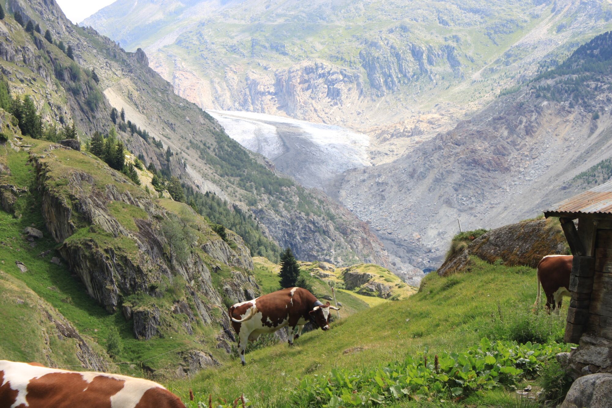
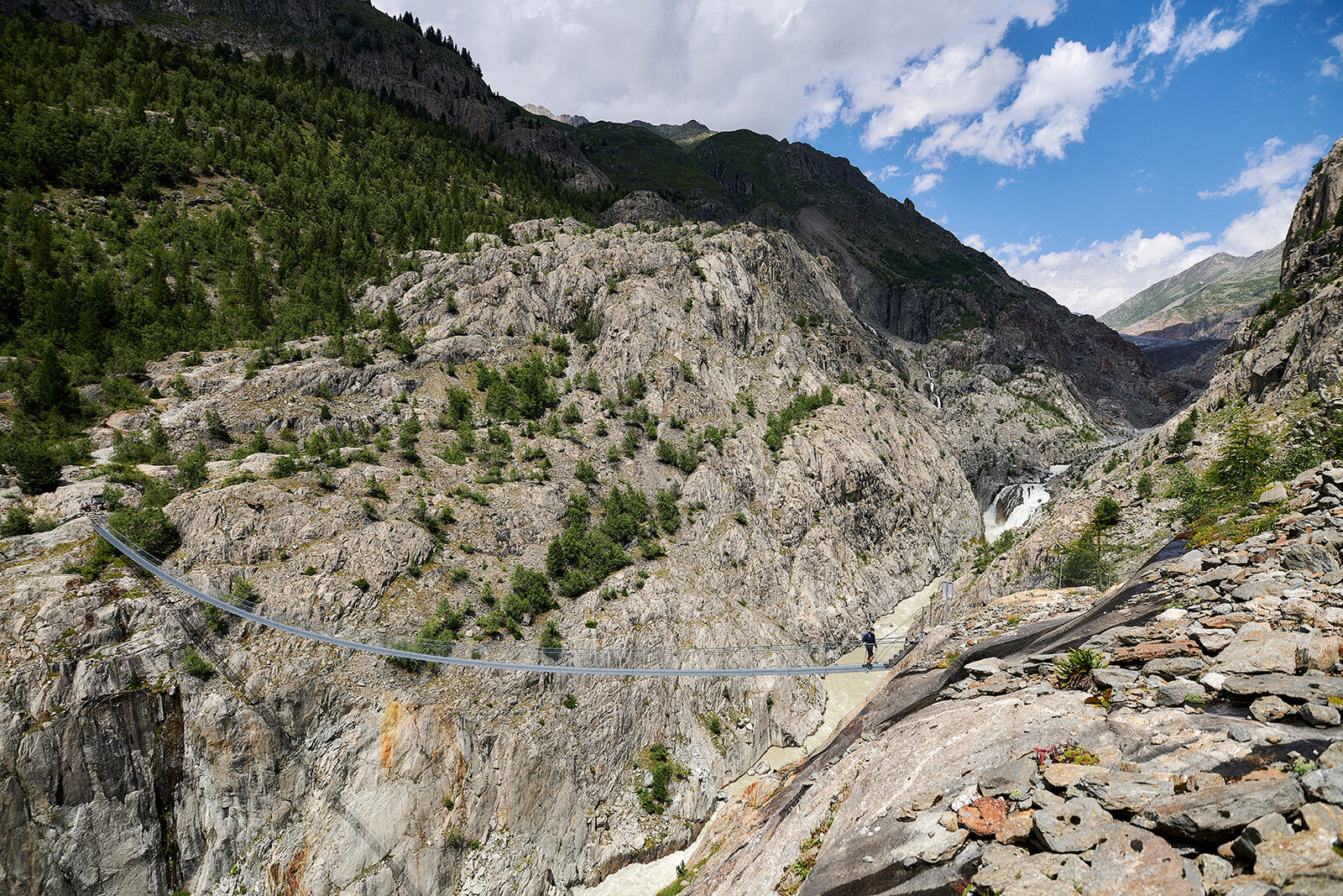
The 124-meter-long suspension bridge is one of the hiking highlights in the Aletsch region. Suspended 80 meters above the ground, it takes you directly in front of the glacier gate of the Great Aletsch...
The 124-meter-long suspension bridge is one of the hiking highlights in the Aletsch region. Suspended 80 meters above the ground, it takes you directly in front of the glacier gate of the Great Aletsch Glacier, crossing the Massa Gorge and connecting Belalp with Riederalp. The breathtaking view into the depths of the Massa Gorge promises a real thrill and is a truly impressive experience.
In the past, it was possible to cross the Aletsch Glacier from Belalp to Riederalp, but due to the glacier’s retreat, this is no longer possible. Built in 2008, the suspension bridge re-establishes this historic connection — a project carried out in cooperation with Pro Natura, WWF, and the UNESCO World Heritage Site Swiss Alps Jungfrau-Aletsch.

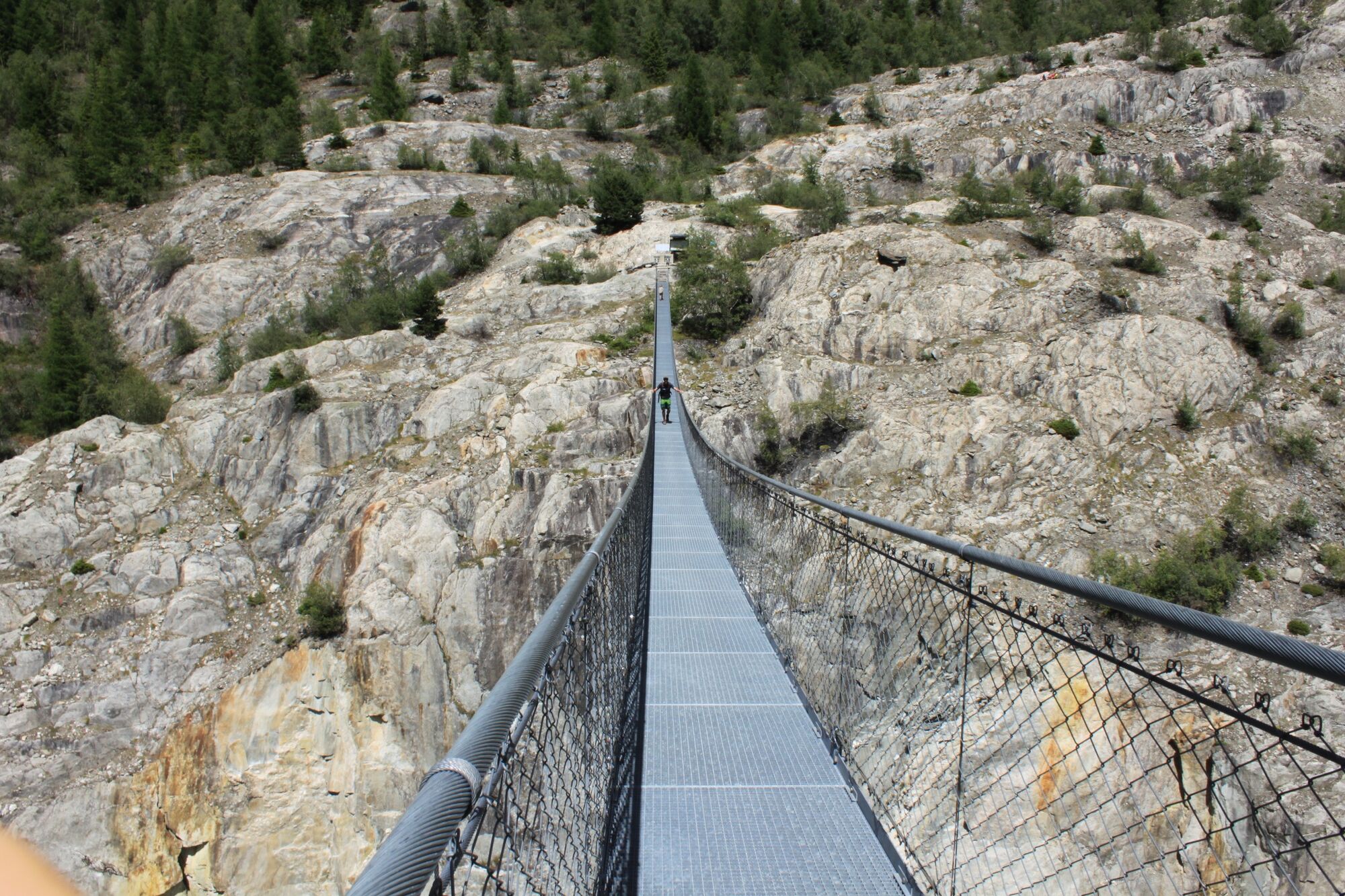
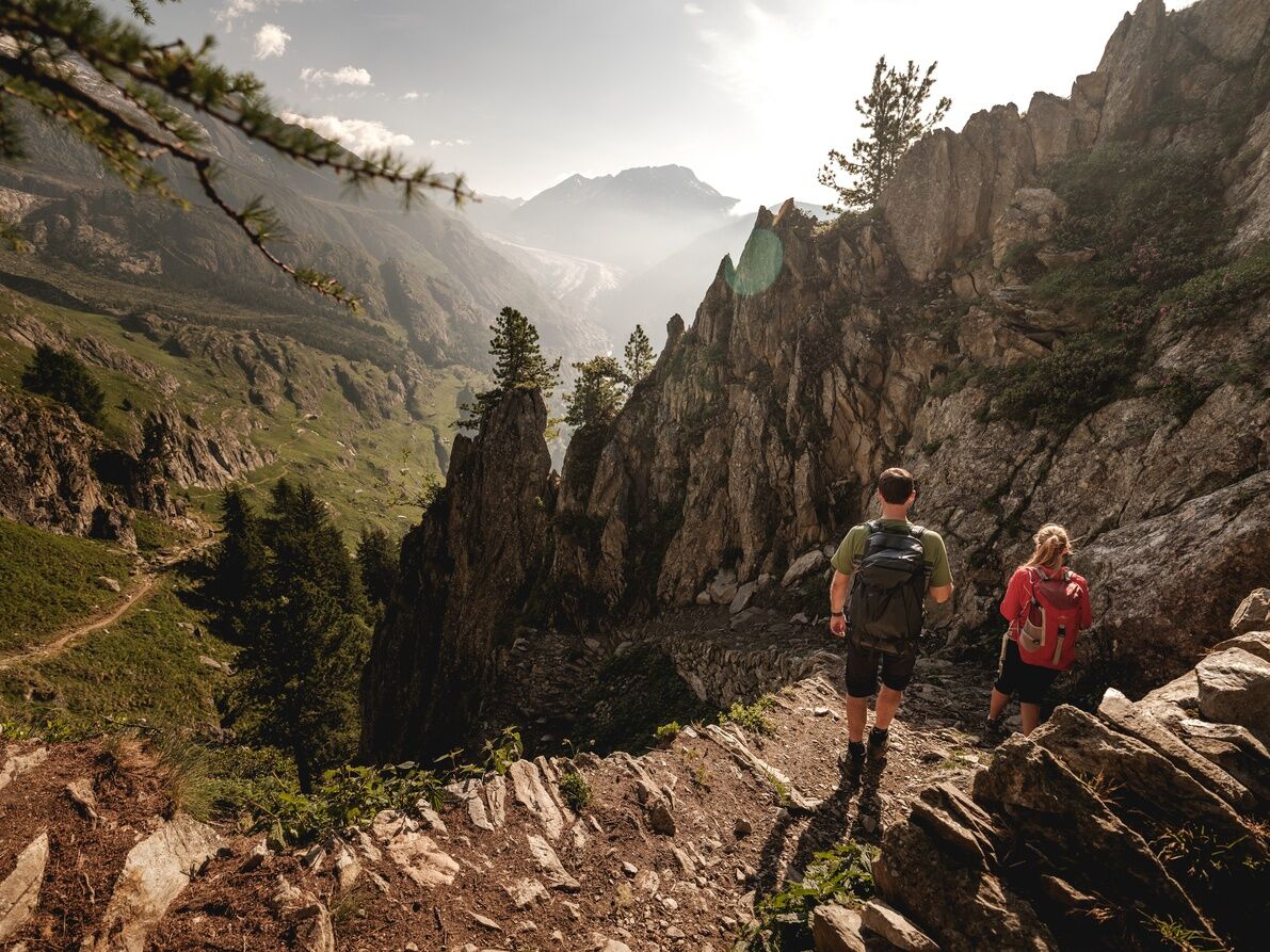
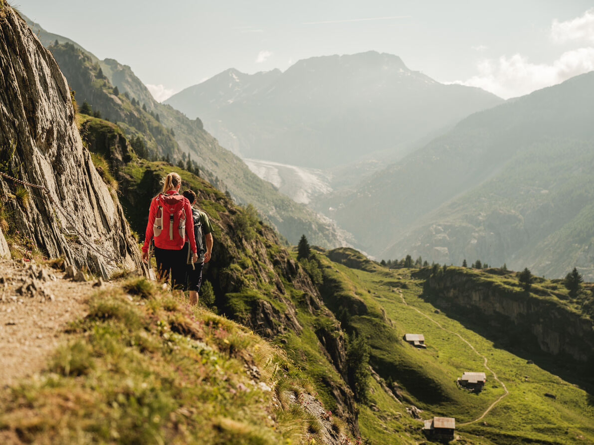
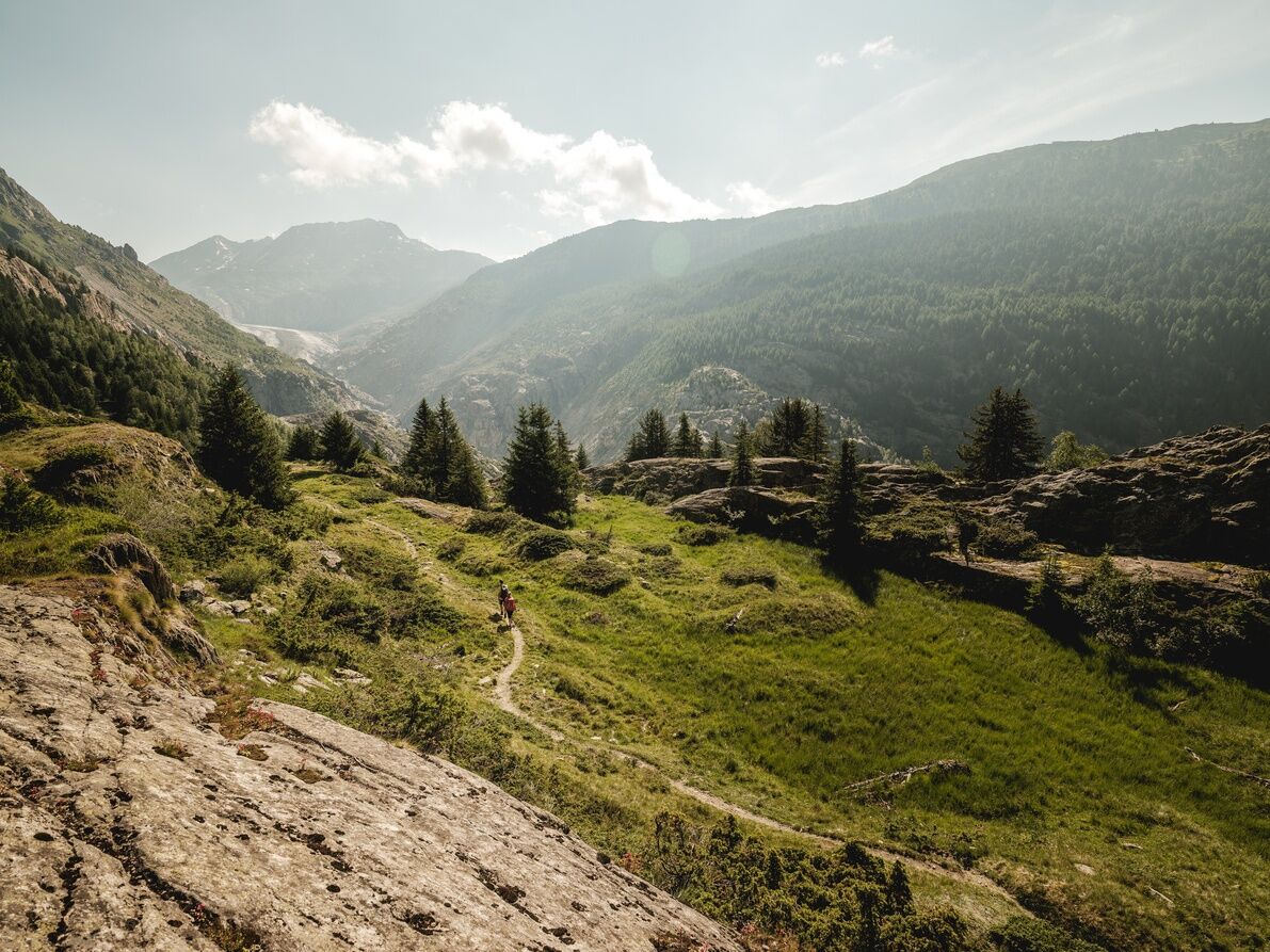
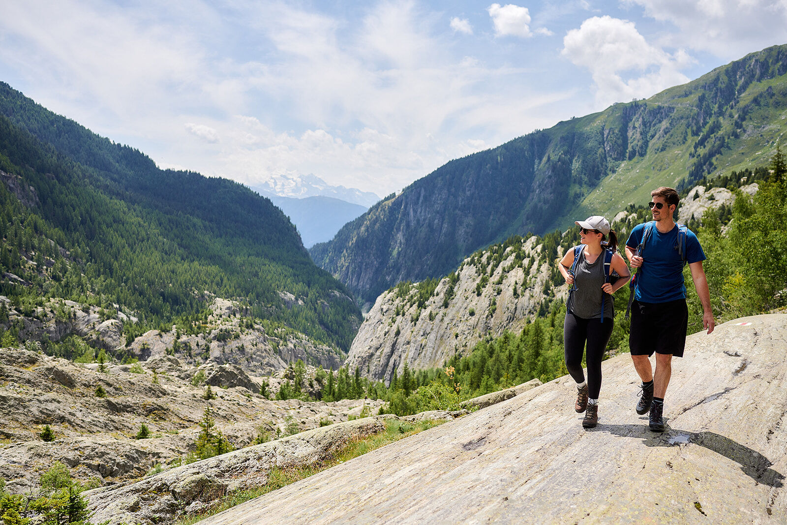
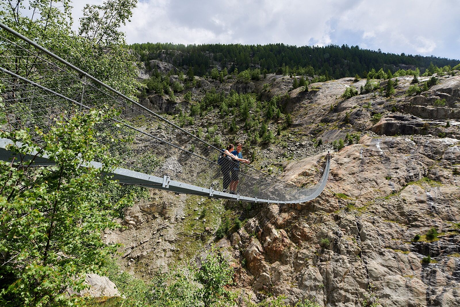
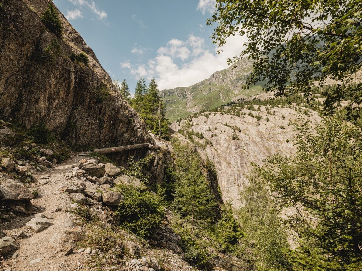
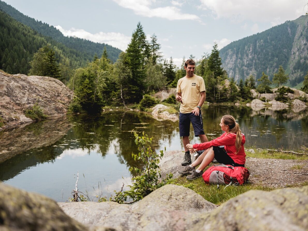
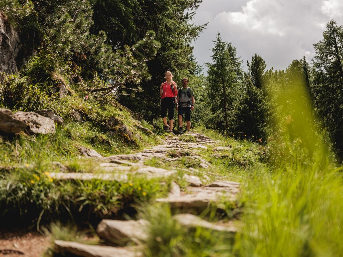
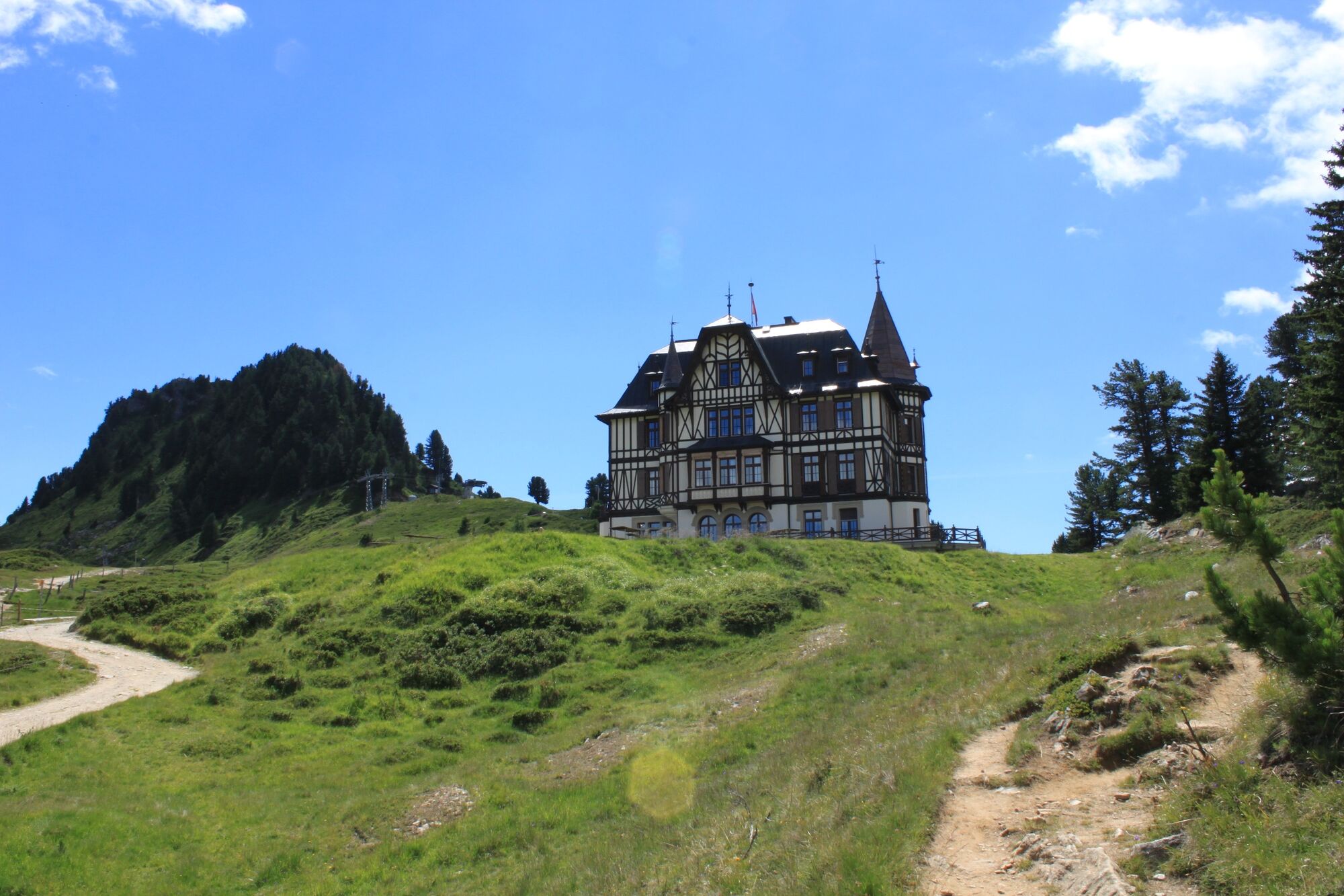
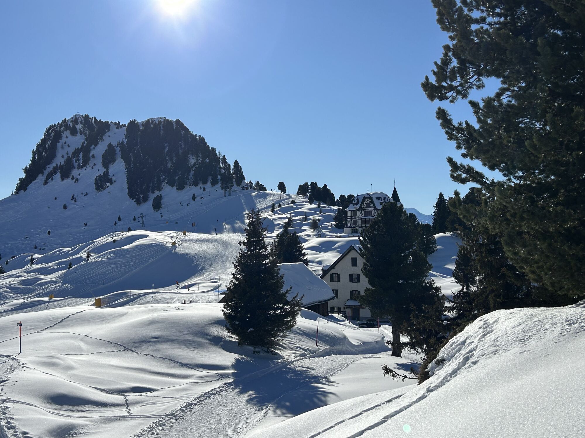
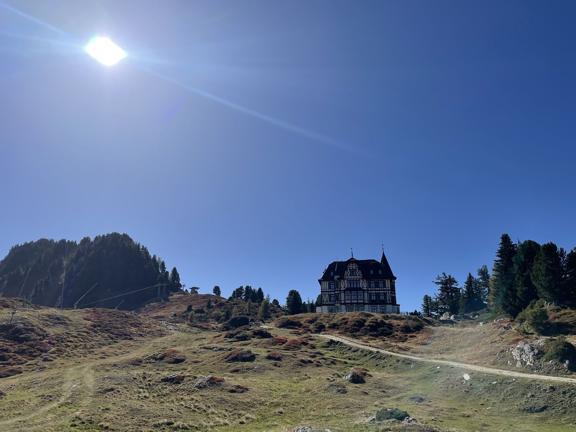
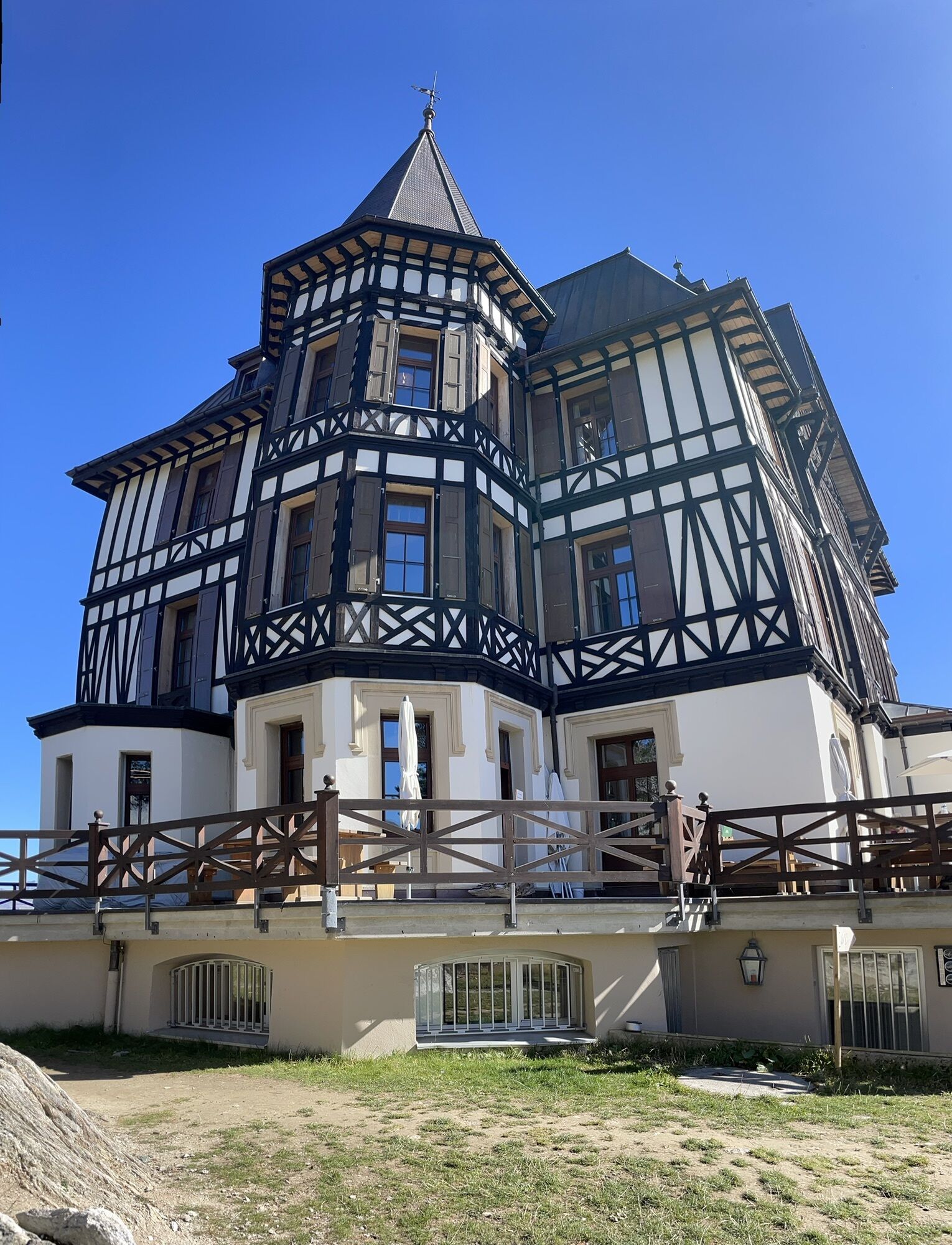
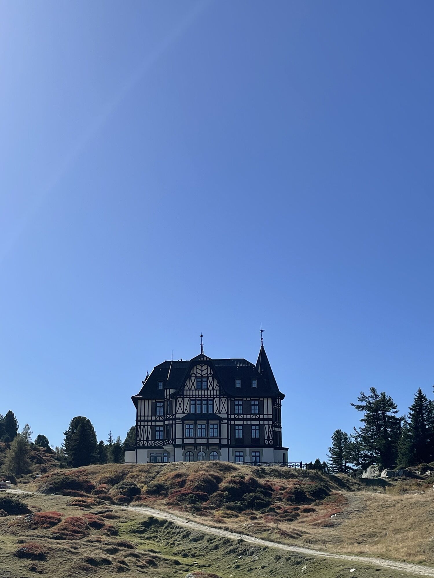
The journey starts with the Matterhorn Gotthard Bahn from Brig to Mörel. Here you change to the feeder train and travel up to Riederalp. The hike takes you up to Riederfurka. There you will see the historic Villa Cassel, which today houses the Pro Natura Center Aletsch. You hike down to the right in the direction of "Teiffe Wald" or "Silbersand" and on to "Grünsee". Along the way, you will cross the Aletschwald nature reserve (please observe the rules) with its ancient larches and Swiss stone pines. At "Grünsee" you will reach a vantage point from which you can see directly down to the suspension bridge. The path continues over rock slabs to the suspension bridge, which hovers 80 meters above the wild Massa. After about half an hour you reach the viewpoint "Glacier Gate". From here you have a fascinating view of the Great Aletsch Glacier, the Glacier Gate and into the Aletschji. Via "Leng Acher" you reach the Maiensäss "Aletschji", where the ascent to the Aletschbord begins. On the Aletschbord you will once again enjoy the fantastic view of the Great Aletsch Glacier. With renewed vigor you take the last 25 minutes hike over the Belalp to the top station of the Belalp cable cars and ride the cable car down to Blatten.
Riederalp - Riederfurka - Kalkofen - Grünsee - suspension bridge - Aletschji - Aletschbord - Belalp
Or: Belalp - Aletschbord - Aletschji- suspension bridge - Grünsee - Kalkofen - Riederfurka - Riederalp
Ja
Ja
Sturdy shoes, clothing suitable for the weather, sun and rain protection, as well as sufficient supplies of food and drinks, should there be no refreshment stops or shopping facilities available or open. Although the trail is very well marked throughout, you should always have a suitable hiking map with you for safety reasons. Take sticks or other aids with you.
Despite the " impossible to miss " markings of the hiking trails, we recommend for safety reasons to always have an appropriate hiking map with you, so that you can quickly find your way to a safe area in case of a thunderstorm or an emergency, for example.
Especially in autumn, you should also be aware that leaves lying on the ground can hide bumps, roots, stones or holes in the path. After storms, trees can still fall over or branches can fall down. Especially after bad weather conditions, muddy and slippery passages can occur on natural paths. You have to expect this kind of path impairment when you go on a hike.
Not all rocks or precipices are secured with ropes or railings. In some cases surefootedness is required. If you are of the opinion that certain sections of the trail are not passable for you, you should avoid them.
From western Switzerland: A9 Lausanne - Vevey, or north-western Switzerland: A12 Bern - Vevey: A9 - Sierre: main road Sierre - Brig
From north-western Switzerland: A6 Berne - Thun - Spiez: main road Spiez - Kandersteg (Lötschberg tunnel car transport) - Goppenstein - Gampel - Brig
From eastern and central Switzerland: Andermatt - Realp (year-round Furka car transport; in summer via Furka Pass) - Oberwald - Brig
From Ticino (in summer): Airolo - Nufenenpass - Ulrichen - Brig
Or via Centovalli - Domodossola - Simplonpass - Brig
From Italy (Aosta, Mt. Blanc Tunnel): Aosta - Grand Saint Bernard tunnel (over the pass in summer) - Martigny: A9 motorway - Sierre: Sierre - Brig main road.
Or via Domodossola - Simplon Pass - Brig
Blatten bei Naters
From Brig you can reach Blatten bei Naters via Naters, then take the cable car to the car-free Belalp.
Travel from Brig by post bus to Blatten bei Naters. From there, take the cable car to Belalp and then start your tour in the direction of Belalp Aletschbord.
Start at Riederalp:
Take the train towards Fiesch and get off in Mörel. From there take the cable car or gondola to Riederalp. Here you then have the option of walking everything or taking the Moosfluh/Hohfluh cable car up and starting from there.
Paid parking is available in the Chienzlichrommu and in the underground car park in Blatten bei Naters.
There are also various parking facilities available in Mörel.
T2
If you have any questions, please contact:
Belalp Bahnen AG
Blatten - Belalp Tourismus AG
Take a break on the terrace of Hotel Belalp and enjoy the panoramic view.
Visit Villa Cassel on the Riederalp.
The Aletschji and the Grünsee are idyllic natural spots that invite you to linger and relax.
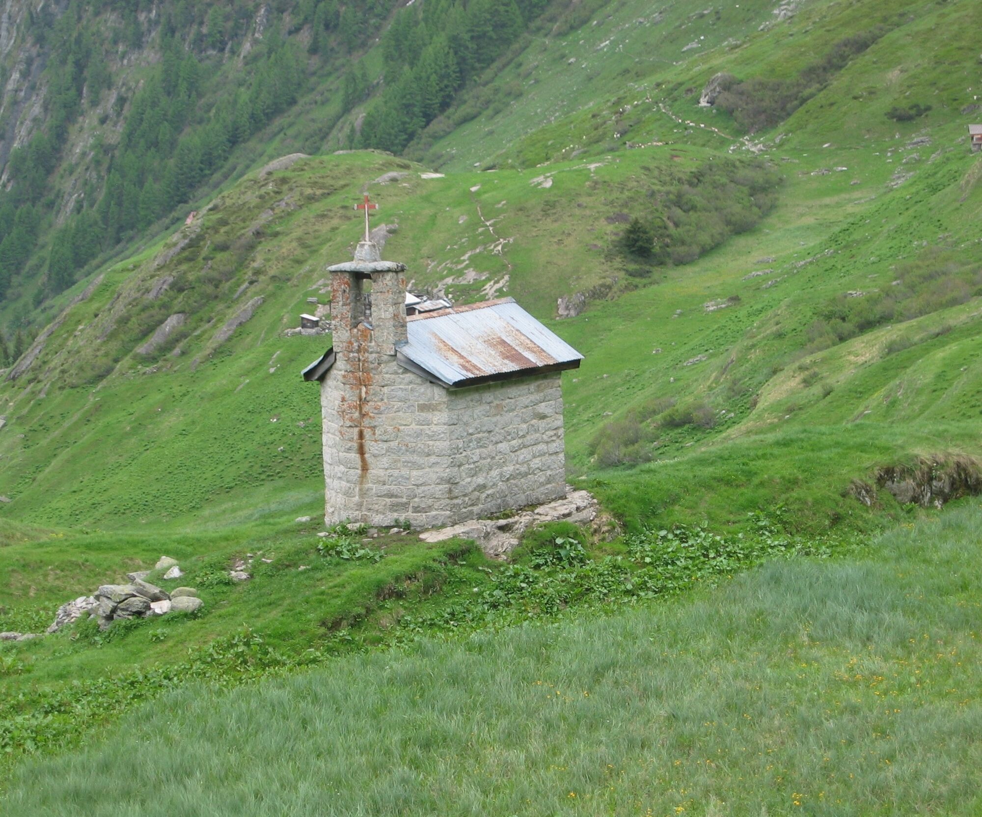
Pull the chain at the little chapel in Aletschji to ring the bells.
Webcams van de tour
-
Hohbiel
-
Bettmerhorn
-
Talstation Sesselbahn Bruchegg
-
Blatten / Blattnerhof
-
Bergstation Wurzenbord
-
Belalp Hexenland
-
Bergstation Wurzenbord
-
Bergstation Wurzenbord
-
Bergstation Wurzenbord
-
Bergstation Wurzenbord
-
Bergstation Wurzenbord
-
Belalp - Feriensiedlung Tschuggen
-
Termen
-
Moosfluh Bergstation
-
Moosfluh Bergstation
-
Moosfluh Bergstation
-
Moosfluh Bergstation
-
Moosfluh Bergstation
-
Moosfluh Bergstation
-
Golfclub Riederalp
-
Kapelle Maria zum Schnee Bettmeralp
Populaire rondleidingen in de buurt
-
4,0
Panoramaweg über den Aletschgletscher
mediumWandelen 17,7 km -
4,0
Panorama Tour Aletsch Arena
mediumWandelen 14,7 km -
5,0
BELALP - SPARRHORN
zwaarWandelen 11,2 km -
UNESCO Höhenweg
Wandelen 3,70 km -
SUONEN CIRCULAR HOKE GREDETSCHTAL
mediumWandelen 7,45 km -
5,0
VIA FERRATA ALETSCH
mediumKlettersteig 3,40 km -
5,0
Aletsch Sightseeing
mediumWinterwandelen 15,5 km -
4,0
SUONEN HIKE FROM STIGWASSER AND OBERSTA TO GREDETSCHTAL
mediumWandelen 6,17 km -
4,0
Eggishorn via ferrata
mediumKlettersteig 1,39 km -
NATICHERBERG CIRCULAR TRAIL
mediumWandelen 12,1 km
Wandelen en spoorzoeken


Mis geen aanbiedingen en inspiratie voor je volgende vakantie
Uw e-mailadres is toegevoegd aan de mailinglijst.