


Pyhäjoki river route
The route takes you to the southern and northern side of river Pyhäjoki. The river banks were built in the 1950s to protect the lowlands from floods. You can admire the flowing Pyhäjoki along the route...
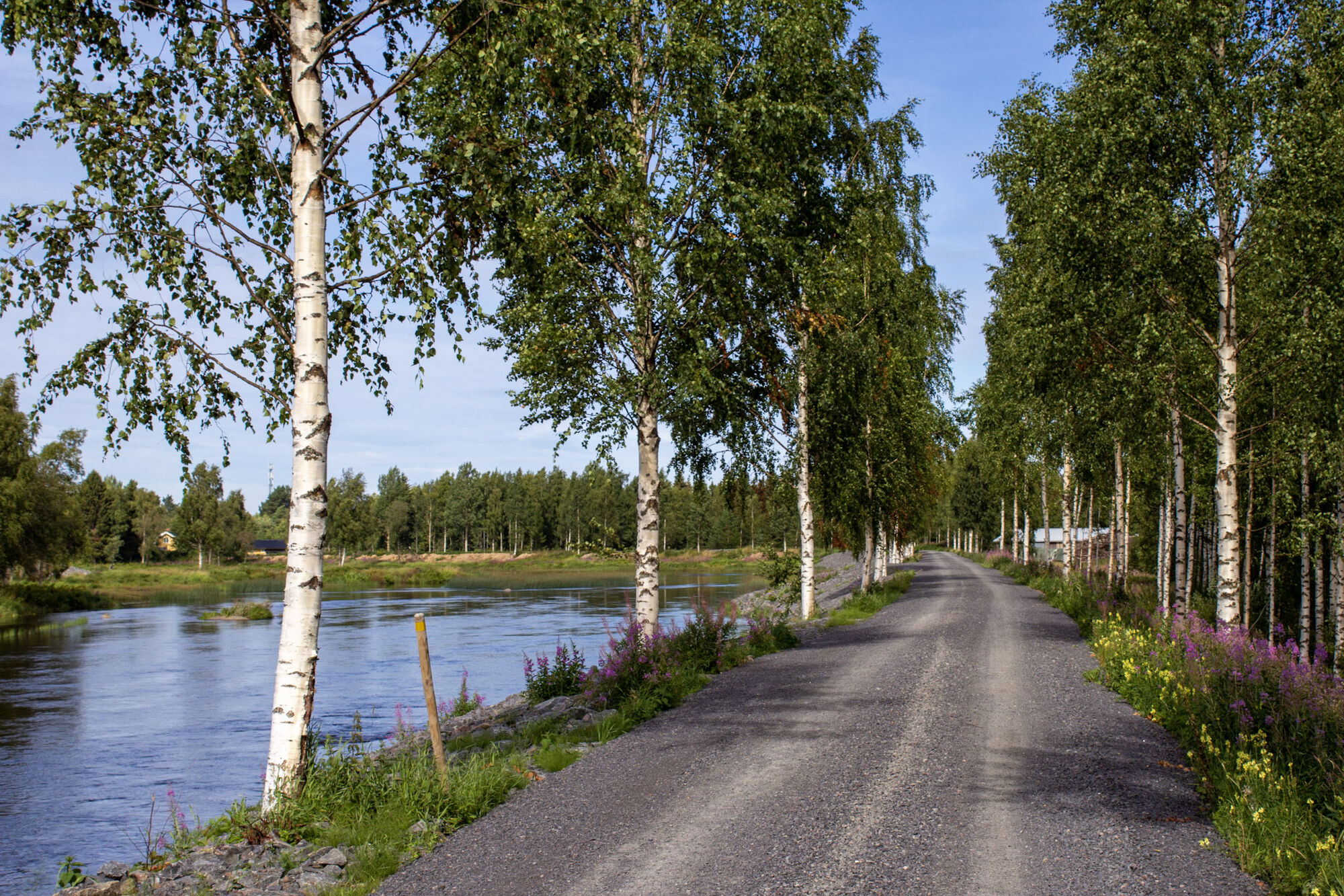
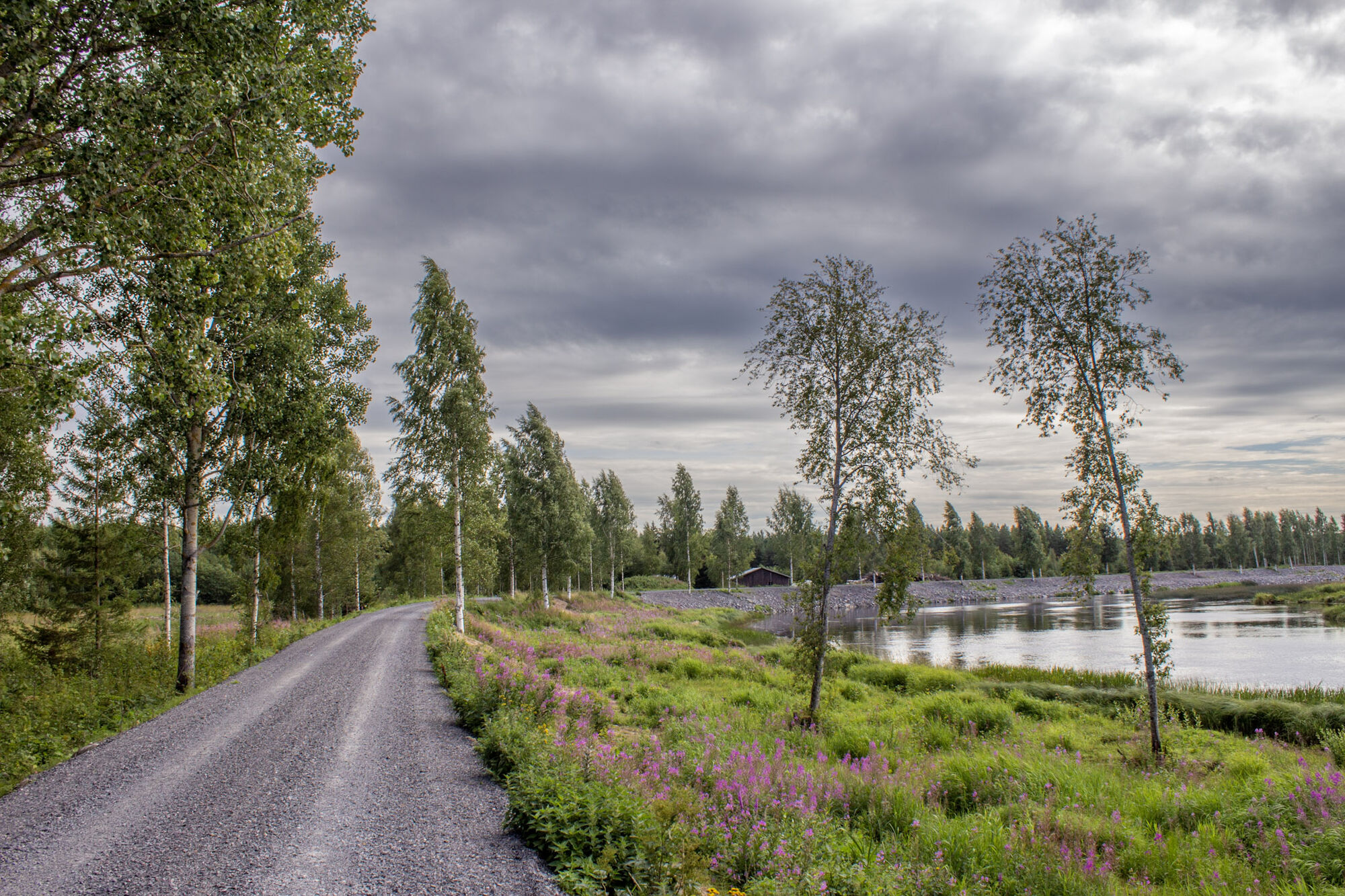
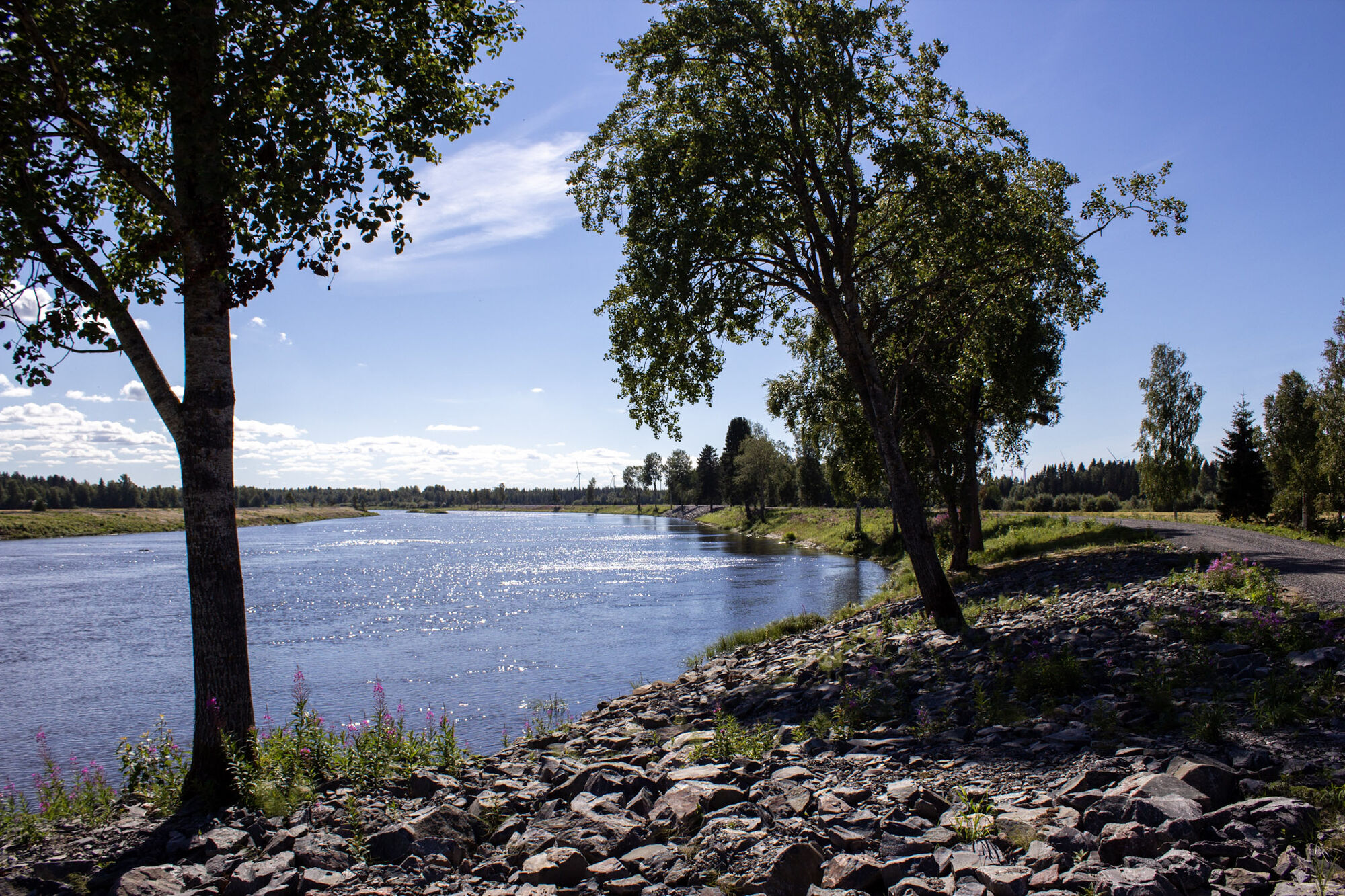
The route takes you to the southern and northern side of river Pyhäjoki. The river banks were built in the 1950s to protect the lowlands from floods. You can admire the flowing Pyhäjoki along the route - sometimes it almost feels like you're cycling on water! The route is excellent for gravel cycling - about two thirds of the route are gravel and sand roads. You can go around the route in both directions. The river is crossed at Pirttikoski.

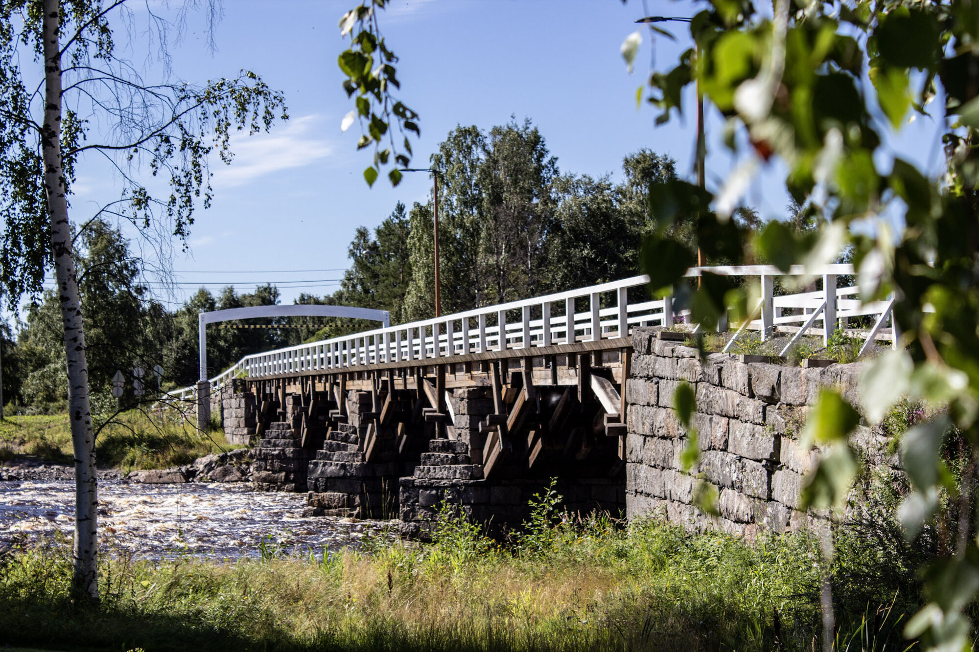
After crossing the river, turn right onto Oulaisten. After about 2.4 km, turn right onto Hakalantie and soon left onto Tiirontie. Continue on the southern side of the river for about 5 kilometers and turn right onto road Oulaistentie. After 600 meters you reach the historic, wooden Etelänkylä bridge. Cross the bridge and continue along Vanhatie straight back to the center of Pyhäjoki.
About two thirds of the route is gravel and dirt roads.
Please note that this bike route is not marked on the terrain, but the route follows other outdoor routes.
The E8 highway takes you to Pyhäjoki. Follow the signs for the center of Pyhäjoki.
You can get to Pyhäjoki by bus from Oulu several times a day. The distance to Raahe is about 30 km and you can get there by bike along the bike path.
Kielosaari, located at the end of Etelänkylä isosilta, is also worth a visit. A charming 600-meter-long nature trail starts from Kielosaari Camping, which introduces you to the diverse nature of the river. Small bridges lead from one island to another, and long trees lead to a small bird tower and campfire site.
Populaire rondleidingen in de buurt
-
Tullikivi route, Piehinki
mediumMountainbike 28,5 km -
Elävisluoto route, Pyhäjoki
mediumMountainbike 10,3 km -
Pirttikoski art route, Pyhäjoki
lichtFietsen 11,7 km -
Halunen route, Pyhäjoki
lichtMountainbike 9,79 km -
Vuotinperä route, Pyhäjoki
lichtMountainbike 5,57 km -
Kultaranta route, Pyhäjoki
lichtMountainbike 2,65 km -
Tervaneva route, Pyhäjoki
mediumMountainbike 5,15 km -
Parhalahti route, Pyhäjoki
lichtMountainbike 13,2 km -
Tankokari route, Pyhäjoki
lichtMountainbike 3,84 km -
Syölätti route, Pyhäjoki
mediumWandelen 15,1 km

Wandelen en spoorzoeken


Mis geen aanbiedingen en inspiratie voor je volgende vakantie
Uw e-mailadres is toegevoegd aan de mailinglijst.