


The historic circular hiking route
Moeilijkheidsgraad: T1


A hike for everyone who wants to combine exercise with culture.

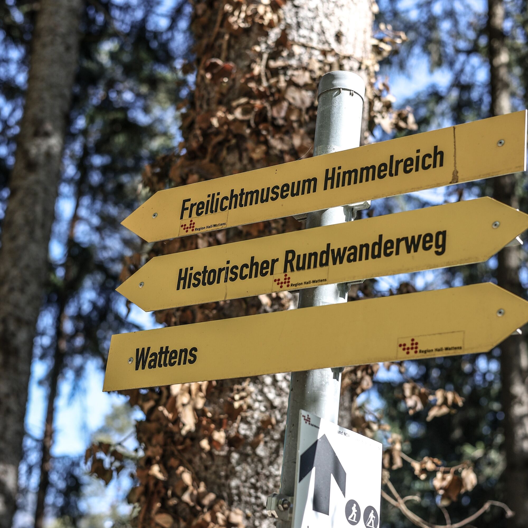
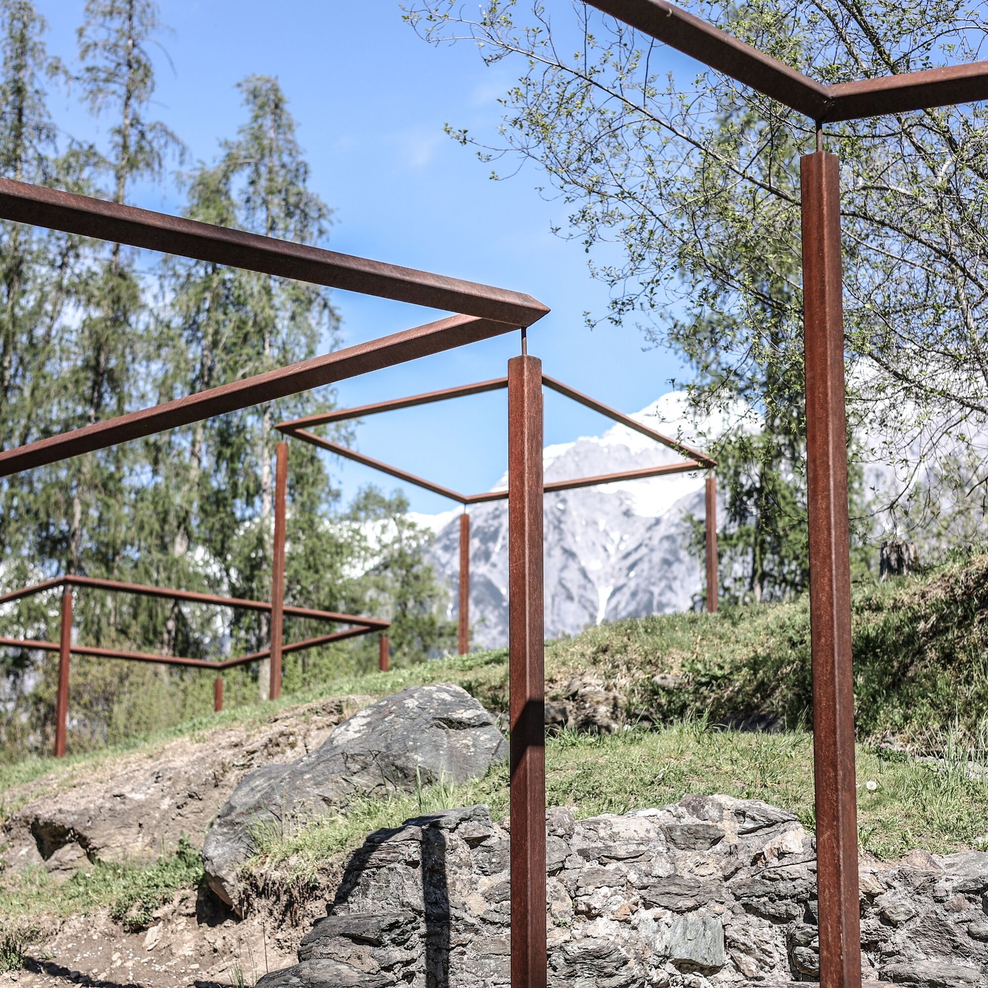


The path leads from the western end of Wattens past the fitness trail. After about 30 minutes, you reach the "Räter settlement Himmelreich", an open-air museum located on a hilltop. On the settlement area surrounded by a ring wall, the foundations of 8 buildings can be visited, which presumably represented the main farm of a Rhaetian noble.
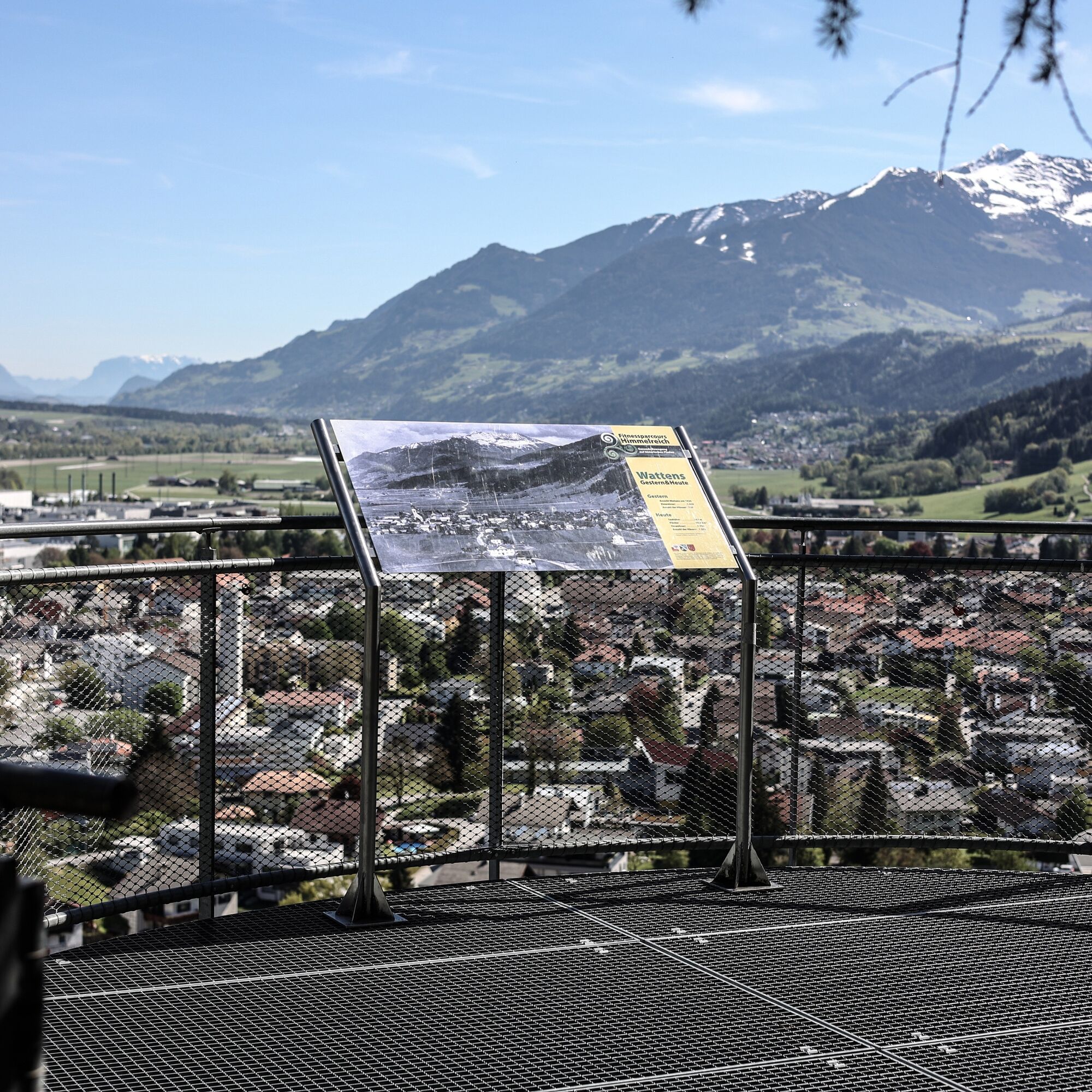
Recently, there is a "stamp station" right next to the viewing platform. Get the stamp and then a small surprise in one of the local offices of the Tourism Association Region Hall- Wattens.
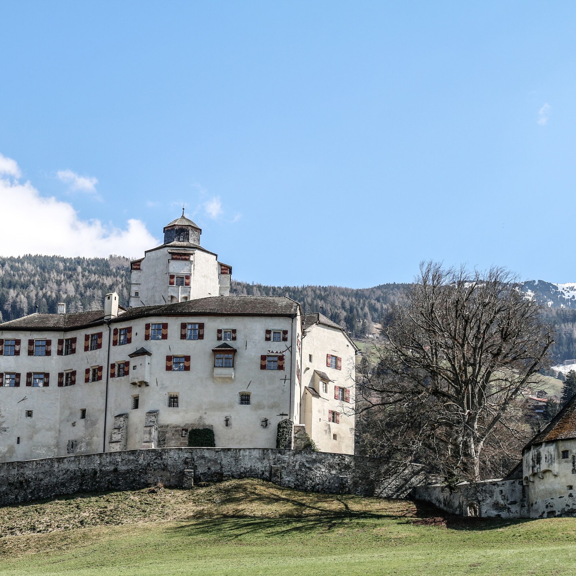
Walking slightly downhill, you then reach Volders to the "Aschach Castle". First mentioned in documents in 1334, the castle was burnt down after a siege in 1413 and rebuilt in its current form in 1575. It is privately owned and cannot be visited.
Following the signage, you reach the "Rafflersteig" branching off from Kleinvolderbergstrasse. This leads along the edge of a romantic gorge up to the Friedberg Castle. First documented around the year 1000, the castle, originally owned by Andechs, became the property of the Lords of Fieger in 1491. The Friedberg Castle can be visited on request as part of guided tours.
The path continues to the "Tummelplatz". There, freedom fighters wounded in the French wars of 1797, 1799, and 1809 were buried, who succumbed to their injuries in the Servite monastery set up as a hospital.
Passing the nearby sports field, the circular hiking route leads down to the so-called "Servite Monastery". The foundation stone was laid by the founder and doctor Dr. Hyppolitus Guarinoni already in 1631.
From the Karlskirche, following the trail markers, you pass the "Volder urn field" through Volder upper village back to Wattens.
Ja
Wattens- Volders
By bus 456 to the Volderer Bridge
Parking is available directly at the starting point
T1
Un'escursione per tutti coloro che vogliono coniugare il movimento con la cultura.
Webcams van de tour
-
Mittelstation Halsmarter
-
Hall in Tirol - Heiligkreuz
-
Wattens - Swarovski Kristallwelten
-
Oberer Stadtplatz
-
Glungezerbahn Mittelstation
-
Oberer Stadtplatz
-
Glungezerbahn Mittelstation
-
Glungezerbahn Mittelstation
-
Glungezerbahn Mittelstation
-
Oberer Stadtplatz
-
Swarovski Kristallwelten
-
Swarovski Kristallwelten
-
Swarovski Kristallwelten
-
Swarovski Kristallwelten
-
Swarovski Kristallwelten
-
Oberer Stadtplatz
-
Schwimmbad Hall
-
Oberer Stadtplatz
-
Oberer Stadtplatz
-
Hall in Tirol
Populaire rondleidingen in de buurt
-
4,6
To the scenic Hochmahdkopf
mediumWandelen 8,31 km -
4,5
Wolfsklamm über Maria Tax
mediumWandelen 5,50 km -
4,8
Felix-Kuen via ferrata on the Hundskopf
zwaarKlettersteig 2,18 km -
4,9
4-Gipfel-Tour zum Gilfert
mediumWandelen 11,2 km -
4,1
Kellerjoch Hütte - Knappenkapelle
mediumWandelen 6,70 km -
3,7
To the alpine inn St. Magdalena in the Halltal
mediumWandelen 7,24 km -
4,9
3 Almen Karwendelrunde MTB Route 408
zwaarMountainbike 23,8 km -
4,5
Sonnjoch
mediumWandelen 11,2 km -
4,6
Hinterriss - Eng - Falkenhütte
mediumWandelen 6,88 km -
4,7
Patscherkofl
mediumWandelen 18,5 km
Wandelen en spoorzoeken


Mis geen aanbiedingen en inspiratie voor je volgende vakantie
Uw e-mailadres is toegevoegd aan de mailinglijst.