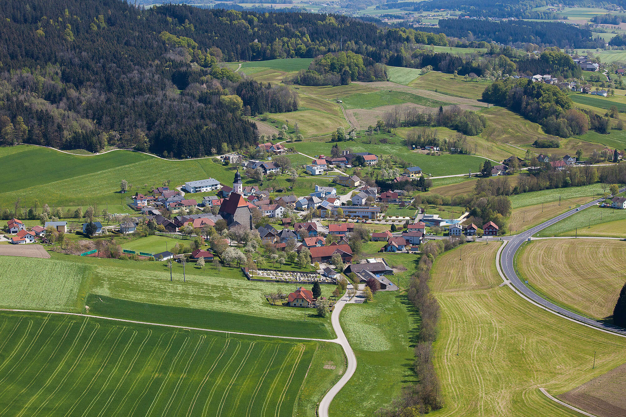
Welcome to ZELL am Pettenfirst!
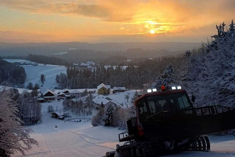
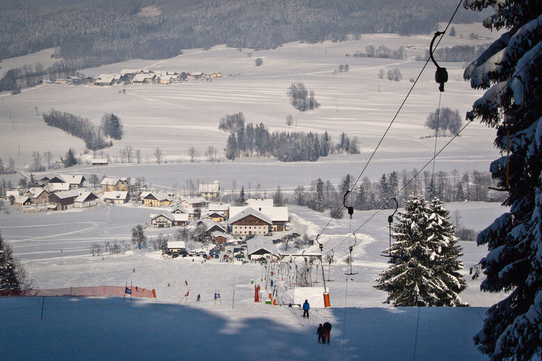
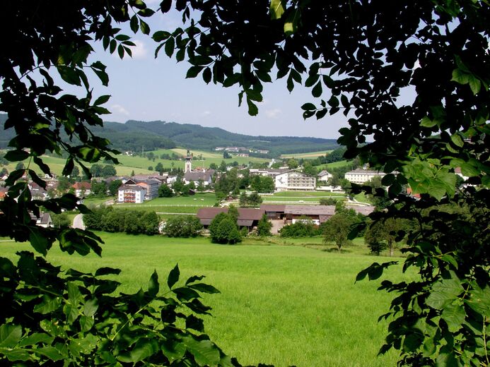
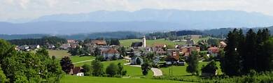
The municipality lies on the southern slope of the Hausruck. The municipal area comprises 23 villages. The boundaries of the municipality are a ridge of the Hausruck with the north-south running Pettenfirst in the north and the Ampflwangerbach in the west. Zell am Pettenfirst lies 550 metres above sea level in the Hausruckwald. The Pettenfirst, Zell's local mountain,...
Welcome to ZELL am Pettenfirst!
The municipality lies on the southern slope of the Hausruck. The municipal area comprises 23 villages. The boundaries of the municipality are a ridge of the Hausruck with the north-south running Pettenfirst in the north and the Ampflwangerbach in the west. Zell am Pettenfirst lies 550 metres above sea level in the Hausruckwald. The Pettenfirst, Zell's local mountain, lies at 710 metres. 33.8% of the area is forested, 58.1% of the area is used for agriculture.
Plan je vakantie


Neem contact met ons op




Wandelen en spoorzoeken




Mis geen aanbiedingen en inspiratie voor je volgende vakantie
Uw e-mailadres is toegevoegd aan de mailinglijst.





