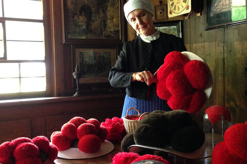
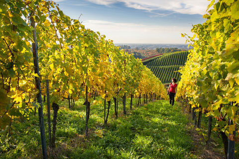
Hardt
Welcome to Hardt!
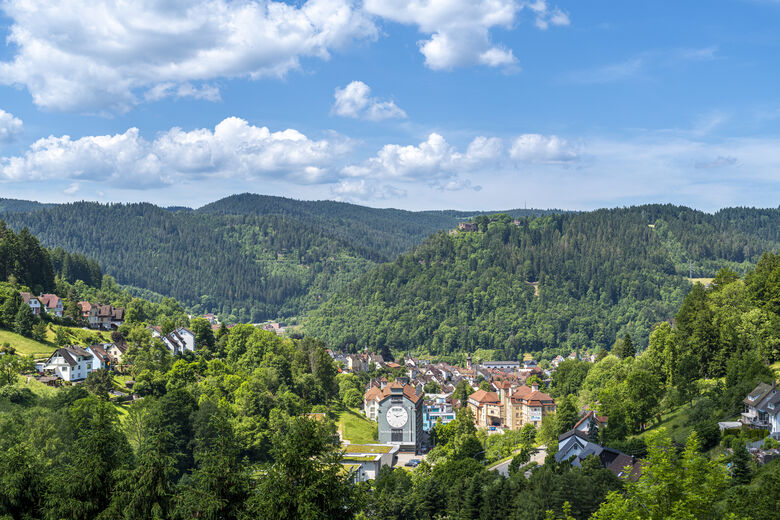
The independent municipality of Hardt is situated on an open plateau at the eastern edge of the central Black Forest in Baden-Württemberg. It belongs to the district of Rottweil and, therefore, to the administrative region of Freiburg. The municipality of Hardt borders the large district town of Schramberg, the municipality of Eschbronn, and the municipality of Königsfeld in the Schwarzwald-Baar...
Welcome to Hardt!
The independent municipality of Hardt is situated on an open plateau at the eastern edge of the central Black Forest in Baden-Württemberg. It belongs to the district of Rottweil and, therefore, to the administrative region of Freiburg. The municipality of Hardt borders the large district town of Schramberg, the municipality of Eschbronn, and the municipality of Königsfeld in the Schwarzwald-Baar district.
Text: Municipality of Hardt / www.hardt-online.de
Neem contact met ons op


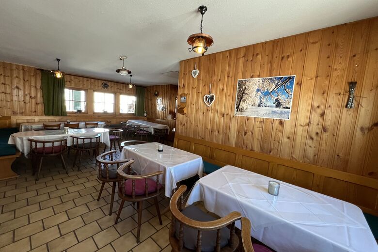
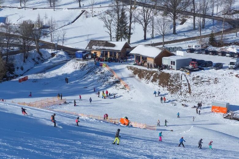
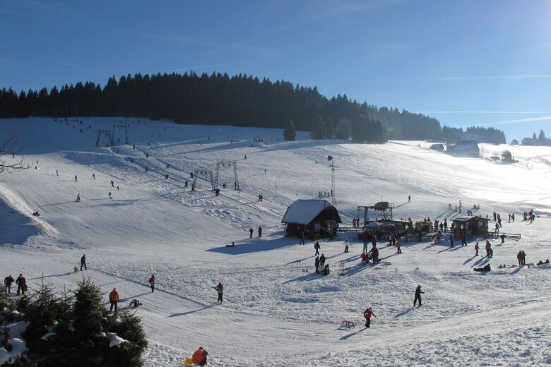
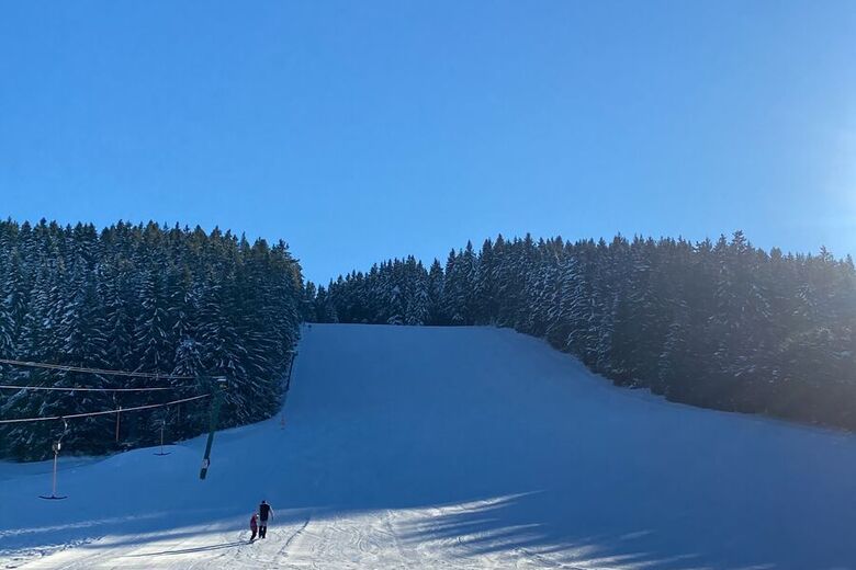
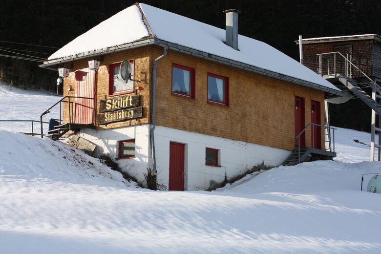
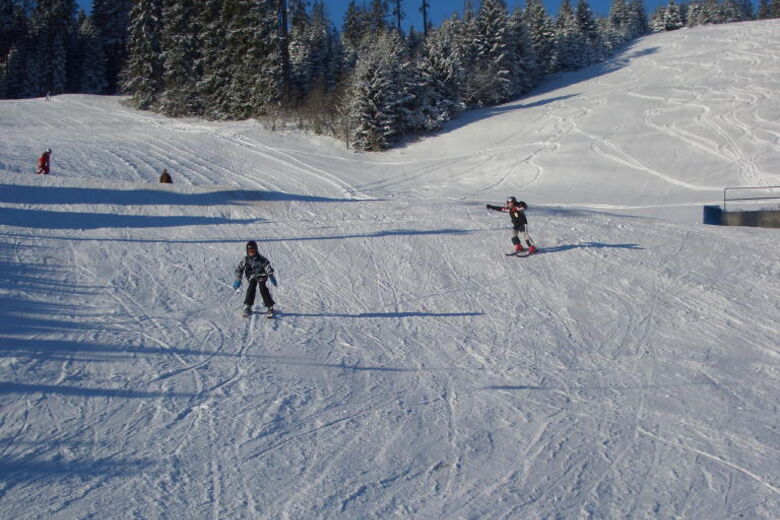
Skigebieden in de buurt


Wandelen en spoorzoeken


Mis geen aanbiedingen en inspiratie voor je volgende vakantie
Uw e-mailadres is toegevoegd aan de mailinglijst.